National Weather Service United States Department of Commerce

Monsoons Return to the Southwest U.S.; Potential Atlantic Tropical System Interaction

In Arizona and New Mexico, heavy to excessive rainfall from monsoon thunderstorms may bring isolated flash and urban flooding Thursday into Sunday. The close proximity of Tropical Storm Humberto and a tropical wave (AL94) could lead to interaction between them, and details of their long-range track and intensity forecasts, and any potential impacts, are more uncertain than usual. Read More >

Summary | Forecast | Observed Snow and Wind | Travel Center | Monitoring & Reporting | Safety


SYNOPSIS:

A major winter storm will  move out of the southern Rockies into the central plains today.  This storm system will produce moderate to significant snowfall through tonight, with the heavier amounts expected along and south and east of a Rock Springs to Lander to Buffalo line.  The heaviest snow amounts are expected in the Casper area.  Strong north wind at 25 to 35 mph with gusts near 50 mph will cause significant blowing and drifting snow across portions of central Wyoming.  Snow and wind will diminish through the Thursday morning hours.


IMPACTS: Today into Tonight


  • Treacherous road conditions across portions of east central and southern Wyoming. Extended road closures are almost certain across southern and eastern Wyoming including portions of Interstates 25 and 80 today into Thursday morning. 
  • Flight cancellations are likely today, especially routes to Denver.
  • Some power outages are likely. 
  • Severely reduced visibility (whiteout conditions) at times from snow and blowing snow.
  • Strong wind gusts may create dangerous cross winds along west-east routes.

                                Current Radar                                                Forecast Timing of Snowfall 6 AM Wednesday
                                                                                                through 6 AM Thursday

     Hourly radar imagery (6AM Wed - 6 AM Thur)
 Regional Radar Loop (Click to Enlarge) Here is a high-resolution model depiction of hourly snow from 6 a.m. Wednesday through 6 a.m. Thursday. The darker blues show the areas of heavier snow.

Top Menu


 Summary | Forecast | Observed Snow and WindTravel Center | Monitoring & Reporting | Safety
 

NWS Text Products and Forecasts

  Area Forecast Discussion
  Winter Weather Statement
  Special Weather Statement
  What's a "Watch?"
  Observed Snow Totals or High Wind
 High Wind Statement
 Weather Story

Quick View of Hazards and Forecast Snow Totals
 
Click to enlarge Click to enlarge

Click Image To Enlarge
 

Click Image To Enlarge
Snowfall Forecast


Max Wind Gusts Forecasts

  Click to enlarge


Click Image To Enlarge 

 Top Menu


Snow Totals and Wind Reports will be posted and updated here once the storm occurs
(Please double check date and time of product)

                        
418
NOUS45 KRIW 231829
PNSRIW
WYZ001>020-022>030-240559-

Public Information Statement
National Weather Service Riverton WY
1159 AM MDT Tue Sep 23 2025

...EVENT SUMMARY...

The first Fall weather system brought plenty of rain to the area and
some mountain snow as well over the past two days. This weather
system brought impressive rain to central portions of the area
thanks to nature of how it passed through the region. On Sunday it
began sliding down from the north and then Monday into Monday night
it pivoted to the south and east. This pivot allowed for persistent
moderate rain from Lander to Thermopolis Monday through Monday
night. Rain persisted at Casper through Tuesday morning and ended
early in the afternoon. Below you will find 48 hour rainfall totals
from Sunday morning through Tuesday morning.

...PRECIPITATION REPORTS...

Location                     Amount    Time/Date       Elevation (ft.)

...Wyoming...

...Fremont County...
Lander 6 SW                  1.09 in   0700 AM 09/23   6088
Riverton Airport             0.91 in   1130 AM 09/23   5443
Riverton 1.9 W               0.84 in   0800 AM 09/23   5123
Riverton                     0.76 in   0700 AM 09/23   4955
Fort Washakie 3.7 SE         0.70 in   0600 AM 09/23   5548
Dubois                       0.32 in   0600 AM 09/23   6955

...Hot Springs County...
Thermopolis                  1.15 in   0830 AM 09/23

...Lincoln County...
Alpine 5.9 S                 0.74 in   0700 AM 09/23   5932
Star Valley Ranch 1.0 S      0.57 in   0700 AM 09/23   6204
Star Valley Ranch            0.49 in   0800 AM 09/23   6253
Afton                        0.36 in   0800 AM 09/23   6248
Thayne 2SE                   0.31 in   0700 AM 09/23   6086
Smoot 5 SSE                  0.15 in   0700 AM 09/23   7005

...Natrona County...
Casper 5 SSW                 0.85 in   0700 AM 09/23   6262
Casper 2.3 S                 0.77 in   0800 AM 09/23   5647
1 S Casper                   0.75 in   1130 AM 09/23
Casper 1 NW                  0.56 in   0700 AM 09/23   5142
Casper 1.2 E                 0.56 in   0800 AM 09/23
Casper 1.7 W                 0.50 in   0700 AM 09/23   5146
Casper Airport               0.44 in   1130 AM 09/23   5327
Casper 1.5 SW                0.44 in   0615 AM 09/23
Casper 0.7 WSW               0.44 in   0700 AM 09/23
Casper 2.0 ENE               0.44 in   0700 AM 09/23   5252
Casper 7.5 W                 0.25 in   0630 AM 09/23   5361

...Park County...
Cody 1SE                     0.58 in   0700 AM 09/23   5102
Cody 2NE                     0.42 in   0700 AM 09/23   4939
Cody 4.3 NNE                 0.40 in   0911 AM 09/23
6 SW Ralston                 0.38 in   0700 AM 09/23
Powell 24.2 WNW              0.38 in   0800 AM 09/23
Cody 2.9 ESE                 0.37 in   0700 AM 09/23
Clark 3NE                    0.34 in   0800 AM 09/23   4117
Cody 5.3 E                   0.33 in   0700 AM 09/23
Cody 21.9 W                  0.30 in   0808 AM 09/23   5887
Cody Airport                 0.28 in   1056 AM 09/23   5138
Meeteetse 4 NNE              0.28 in   0700 AM 09/23
Meeteetse 0.2 NE             0.25 in   0700 AM 09/23   5807
Powell 20.4 NW               0.02 in   0700 AM 09/23

...Sublette County...
Daniel                       0.24 in   0800 AM 09/23   7341
Pinedale 1 NNW               0.24 in   0800 AM 09/23   7213
Pinedale 5.0 SE              0.19 in   0700 AM 09/23   7144
Big Piney Airport            0.13 in   1053 AM 09/23   6944
Pinedale 14 NW               0.12 in   0600 AM 09/23   7464

...Sweetwater County...
Rock Springs Airport         0.35 in   1054 AM 09/23   6745

...Teton County...
Bechler Ranger Station       0.59 in   0800 AM 09/23   6432
Jackson 0.3 ENE              0.49 in   0700 AM 09/23   6264
Jackson                      0.43 in   0900 AM 09/23   6210
Teton Village 2 NE           0.38 in   0700 AM 09/23   6339
Jackson Hole Airport         0.18 in   1123 AM 09/23   6453
Lake Yellowstone - YNP       0.17 in   1056 AM 09/23   7839

...Washakie County...
Ten Sleep 27 S               0.46 in   0700 AM 09/23   5002
Worland Airport              0.24 in   1053 AM 09/23   4190

Observations are collected from a variety of sources with varying
equipment and exposures. We thank all volunteer weather observers
for their dedication. Not all data listed are considered official.

$$


 Top Menu


Summary | Forecast | Observed Snow and WindTravel Center | Monitoring & Reporting | Safety

Current Radar & Web Cams - Click Thumbnails To Enlarge
Northern Rockies Radar
Riverton Radar
Pocatello
Billings
Salt Lake
Cheyenne


WYDOT Road Legend Wyoming Road Conditions from WYDOT
For more detailed Wyoming road conditions, please visit WYDOT at: wyoroad.info


Road Conditions for Surrounding States
CODOT logo IDDOT logo MTDOT logo
NEDOT logo SDDOT logo UTDOT logo


I-80 - Little America
Beaver Rim - U.S. Hwy 287
I-80 - Rock Springs
I-80  - Laramie
I-25 - Casper
Buffalo - I-25/I-90 Interchange
Riverton
Lander
South Pass - Hwy 28
Togwotee Pass - U.S. Hwy 26
Powder River Pass - U.S. Hwy 16
Granite Pass - U.S. Hwy 14
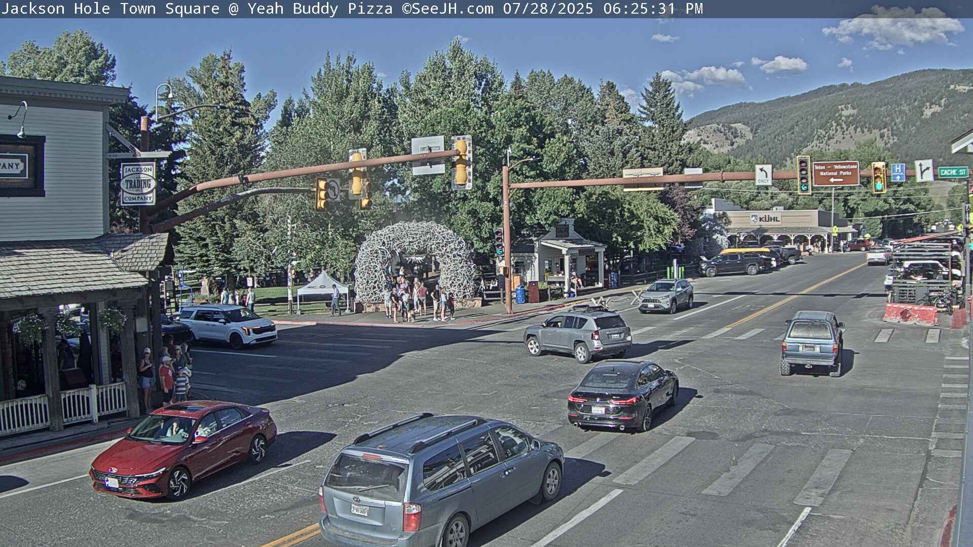
Jackson
Dubois
Thermopolis
Cody


                                                                       Click Here to See All Webcams                                                  

If you plan to travel, we recommend checking road conditions along your route and staying on top of road closures here. If you are on Twitter, follow the hashtag: #WyoRoad (or look below) for the latest weather affecting roads and road conditions in and around Wyoming. 


Get the play-by-play on this storm and contribute your own snow reports to #wywx

Follow Us on Twitter @NWSRiverton


 Summary | Forecast | Observed Snow and WindTravel Center | Monitoring & Reporting | Safety

PLEASE SEND US YOUR SNOW REPORTS (CLICK HERE)

Monitor our Weather Summary Page for current Warnings, Watches, and Advisories. What's the difference?
Current            Weather Story Check the latest Weather Story graphic for an overview of the area forecast.
NWS Riverton Radar Check out what's on the radar.
Riverton | Pocatello | Cheyenne | Billings | Salt Lake City | Rapid City | Mosaic
Submit storm reports/images and keep up to date with us on Facebook!
Submit storm reports/images and keep up to date with us on Twitter!
Other reporting methods include email (nws.riverton@noaa.gov), or by phone at 1-800-211-1448.
Check the latest Public Information Statement for the latest storm reports.
WyDoT's Webpage Monitor current road conditions by visiting the Wyoming Dept. of Transportation (WYDOT) or by calling 5-1-1.
Get current road conditions, web camera images, road alerts, and much more on your mobile device by downloading the Wyoming 511 Mobile App.


Top Menu

 Summary | Forecast | Observed Snow and WindTravel Center | Monitoring & Reporting | Safety
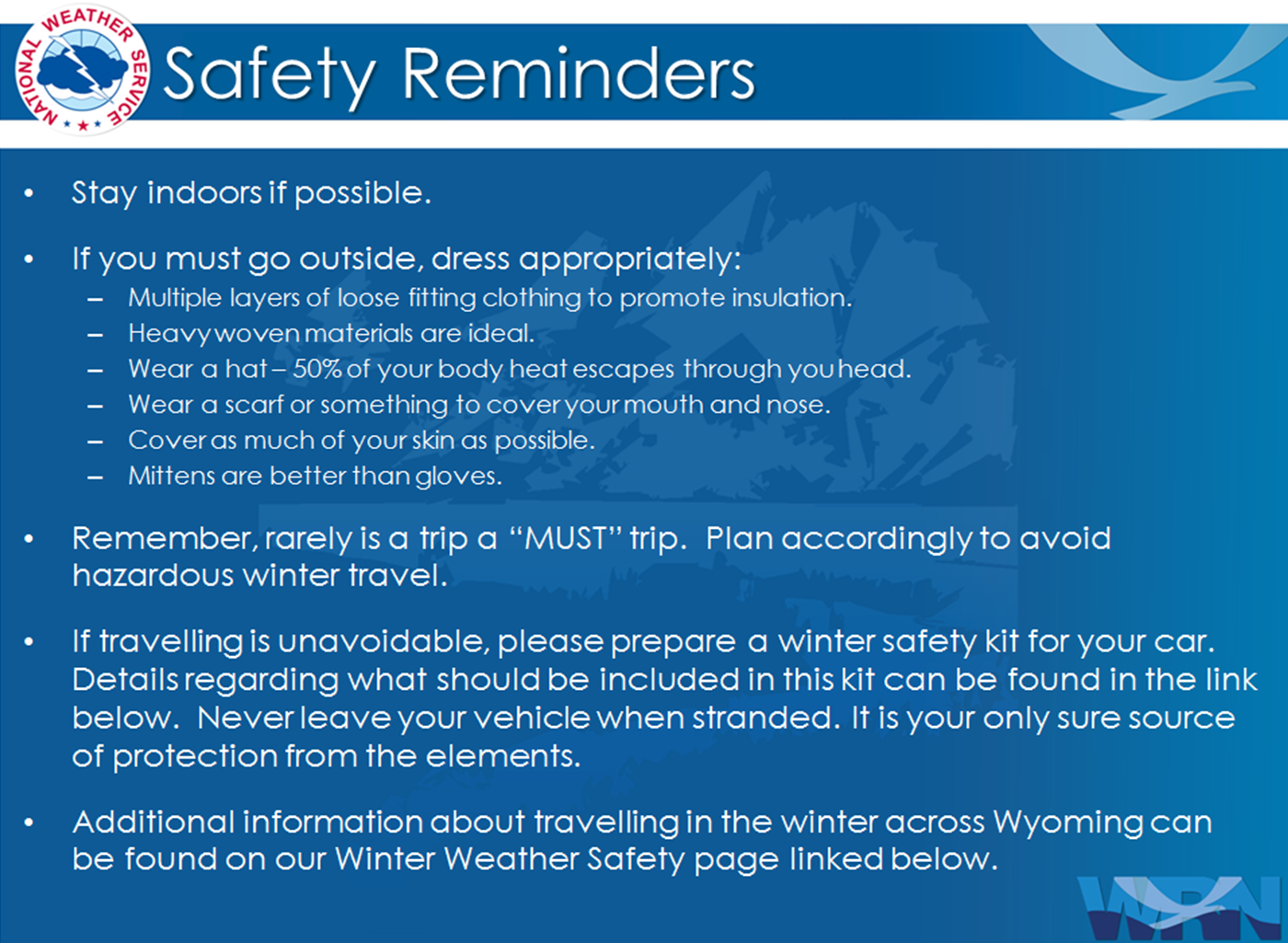
 

Winter Safety Kit      |      Winter Weather Safety


Learn more about the National Weather Service's efforts to build a Weather-Ready Nation!


 Top Menu