Summary | Forecast | Travel Center | Monitoring & Reporting | Safety
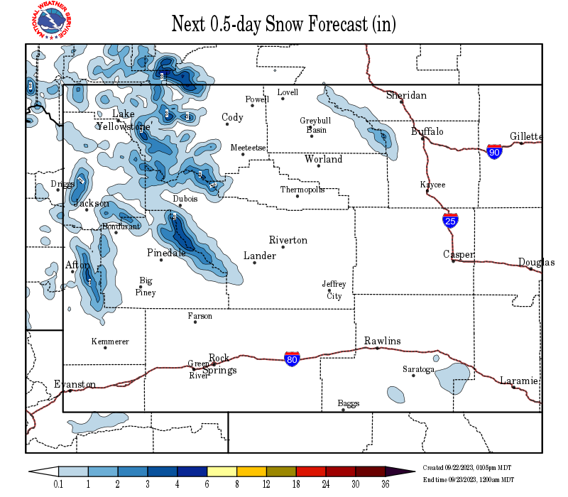
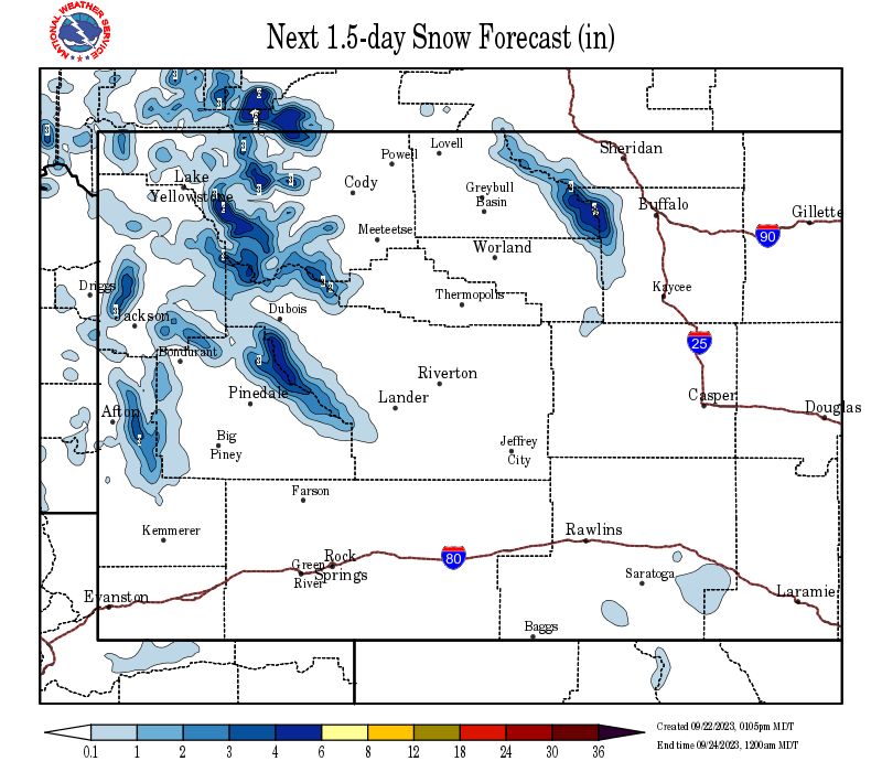
SYNOPSIS: Light snow will continue to spread across central, southern, and eastern Wyoming Christmas night, with the heaviest snow falling across the south and east. Snowfall totals will generally range from 1 to 3 inches, with little snowfall anticipated in the Big Horn Basin. Snow accumulations of 2 to 5 inches are possible in Sweetwater and southern Lincoln counties where winter weather advisories are in effect until 11 PM Christmas night. The snow will gradually decrease from west-to-east late Christmas night and Saturday morning. Clearing skies will leave bitterly cold temperatures over the weekend, with lows dipping below zero escpecially across the low elevations of the west.
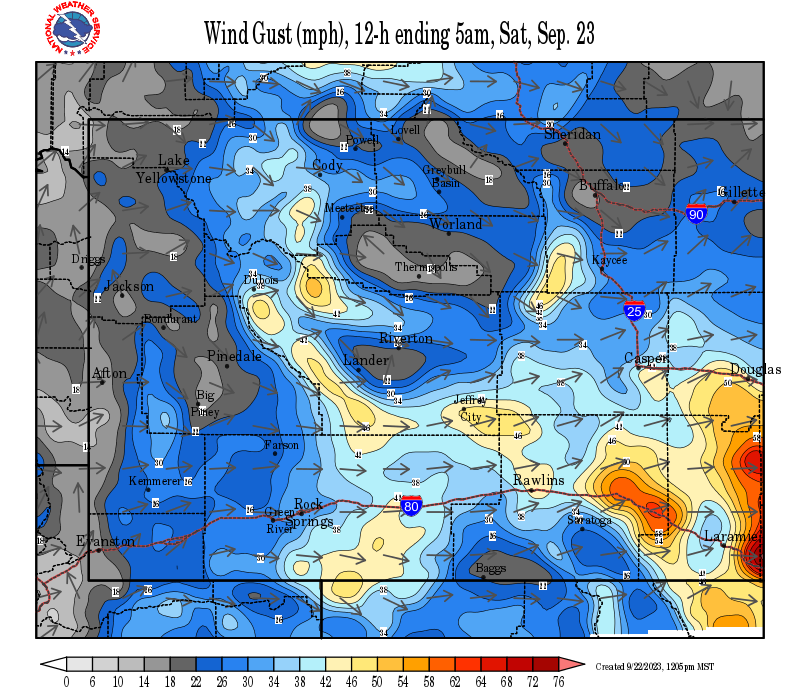
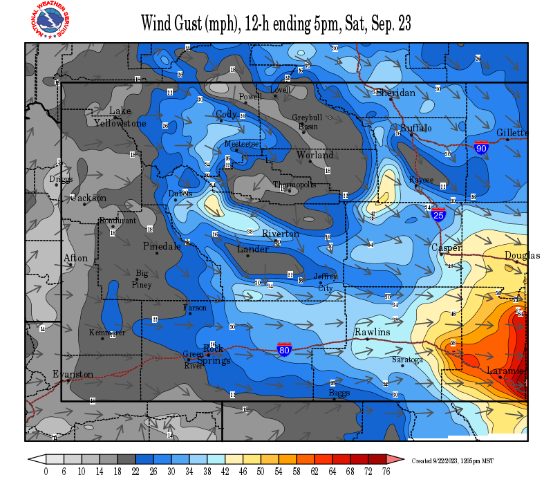
Impact to travel will continue across southern, central, and eastern Wyoming Christmas night into Saturday morning. The snow and wind will combine to create slick roads and reduced visibilites at times. Those with outdoor plans should prepare for the return of winter conditions. High temperatures will only be in the teens Christmas and Saturday, with overnight lows below zero. Clearing skies Saturday night will set the stage for lows Sunday morning to be well below zero, particularly in the basins and valleys of far west Wyoming. Those areas of the far west could be 15 below to 30 below zero by sunrise Sunday. Anyone with backcountry activities should also keep up-to-date on the latest avalanche conditions and forecasts, as fresh snow on a weak base could elevate the chances for avalaches.
IMPACTS and CHRISTMAS CLIMATE:
 |
 |
|
Click Image To Enlarge
|
Click Image To Enlarge |
|
|
|
|
|
|
|
|
High Wind Statement |
|
Multimedia Briefing |
Snow and Wind Forecasts - Update Every 3 Hours
 |
 |
|
12 Hour Snow Accumulation Forecast |
12 Hour Peak Wind Gusts |
 |
 |
|
24 Hour Snow Accumulation Forecast |
12-24 Hour Peak Wind Gusts |
 |
 |
|
36 Hour Snow Accumulation Forecast |
24-36 Hour Peak Wind Gusts |
Summary | Forecast | Travel Center | Monitoring & Reporting | Safety
|
|
|
|
|
|
|
|
|
 |
 |
 |
 |
|
|
|
|
|
 |
 |
 |
 |
|
|
|
|
|
|
|
 |
 |
 |
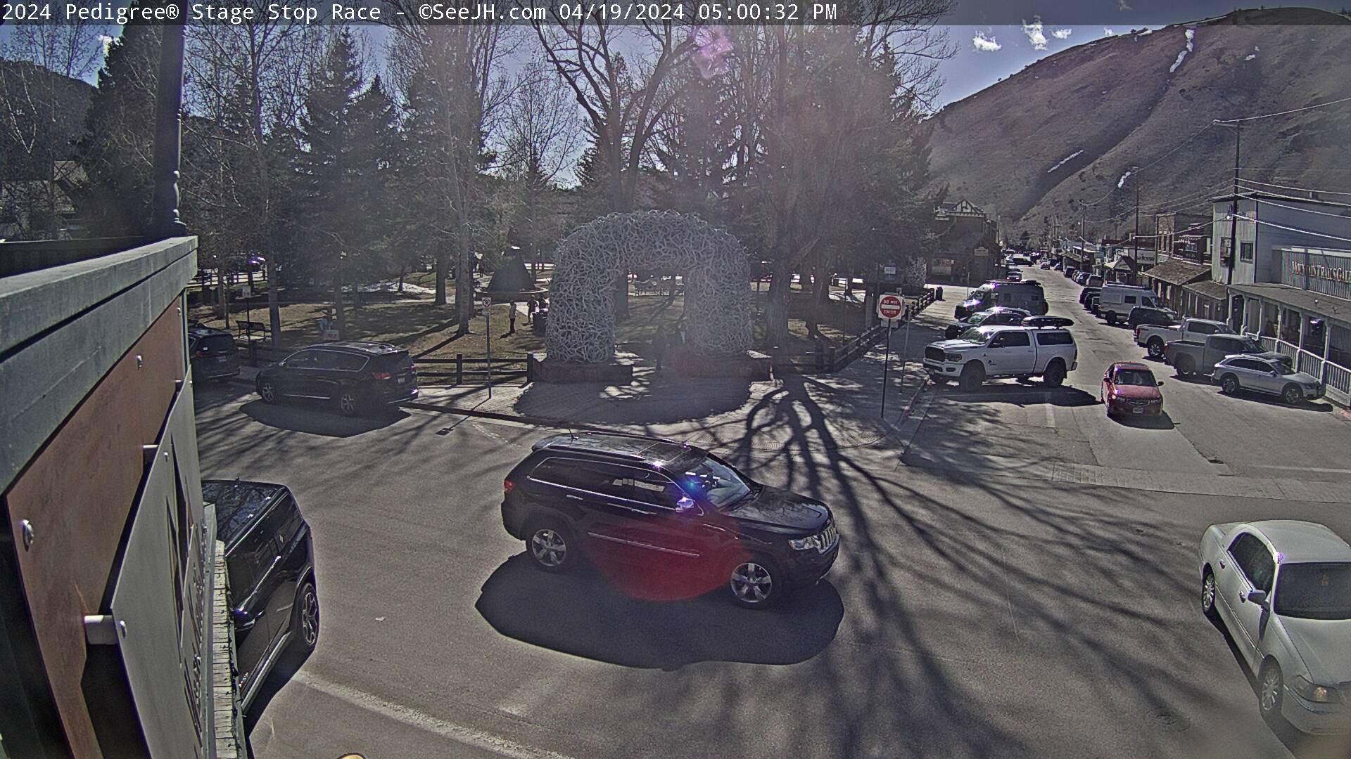
Click Here to See All Webcams (New Window)
If you plan to travel, we recommend checking road conditions along your route and staying on top of road closures here. If you are on Twitter, follow the hashtag: #WyoRoad (or look below) for the latest weather affecting roads and road conditions in and around Wyoming.
| Tweets by @NWSRiverton | #WyoRoad Tweets |
|
Get the play-by-play on this storm and contribute your own snow reports to #wywx |
On the road? Tweet road conditions to #WyoRoad! |
 |
 |
|
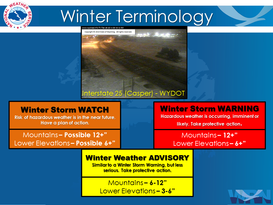
Winter Terminology |
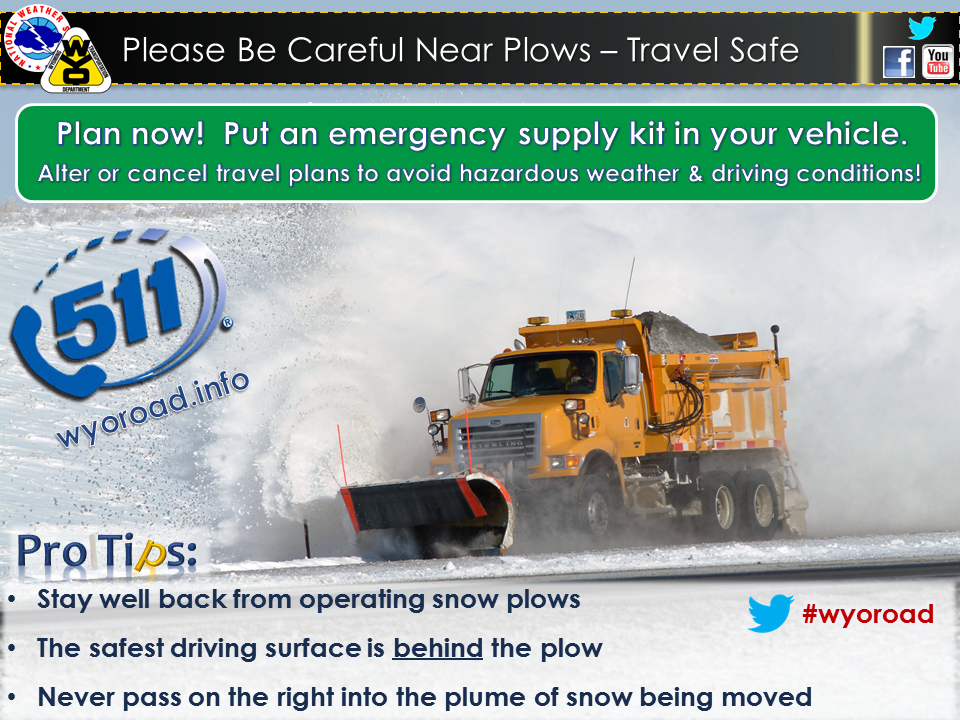
Snow Plow Safety |
 |
 |
|
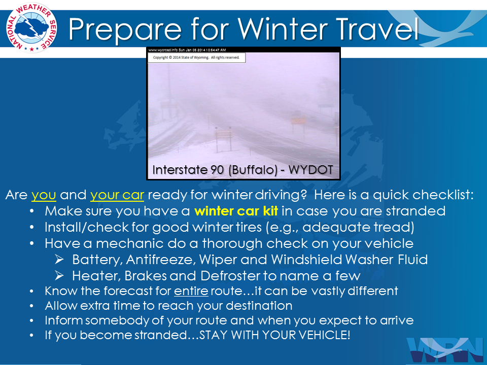
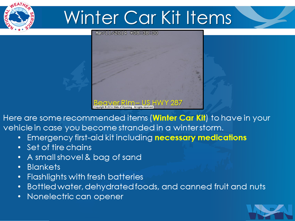
Prepare You and Your Car Before Traveling |
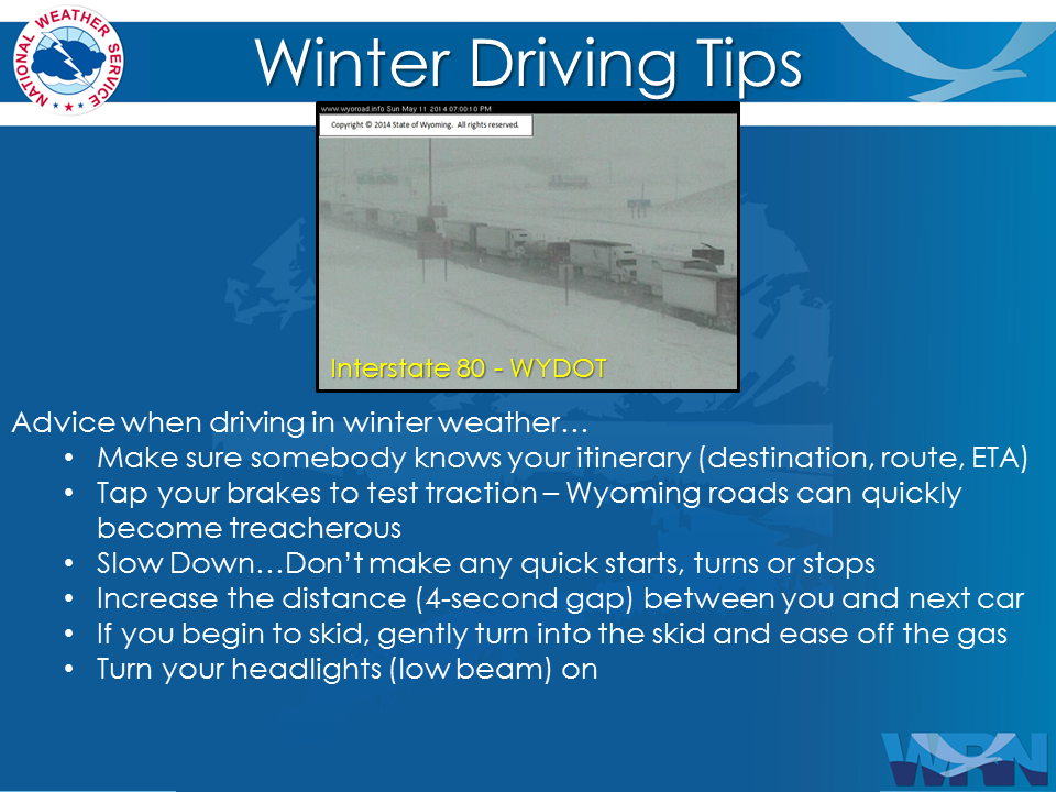
Always Have A Winter Survival Kit In Your Car |
 |
 |
|
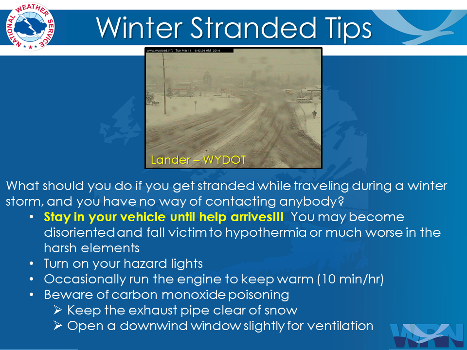
Remember Proper Winter Driving Tips |
Stay In Your Vehicle If Stranded |

Summary | Forecast | Travel Center | Monitoring & Reporting | Safety
PLEASE SEND US YOUR SNOW REPORTS (CLICK HERE)
 |
Monitor our Severe Weather Summary Page for current Warnings, Watches, and Advisories. What's the difference? |
 |
Check the latest Weather Story graphic for an overview of the area forecast. |
 |
Check out what's on the radar. Riverton | Pocatello | Cheyenne | Billings | Salt Lake City | Rapid City | Mosaic |
 |
Submit storm reports/images and keep up to date with us on Facebook! |
 |
Submit storm reports/images and keep up to date with us on Twitter! |
 |
Other reporting methods include submitting an online report, email (cr.wxriw@noaa.gov), or by phone at 1-800-211-1448. |
 |
Check the latest Public Information Statement for the latest storm reports. |
 |
Monitor current road conditions by visiting the Wyoming Dept. of Transportation (WYDOT) or by calling 5-1-1. |
Summary | Forecast | Travel Center | Monitoring & Reporting | Safety
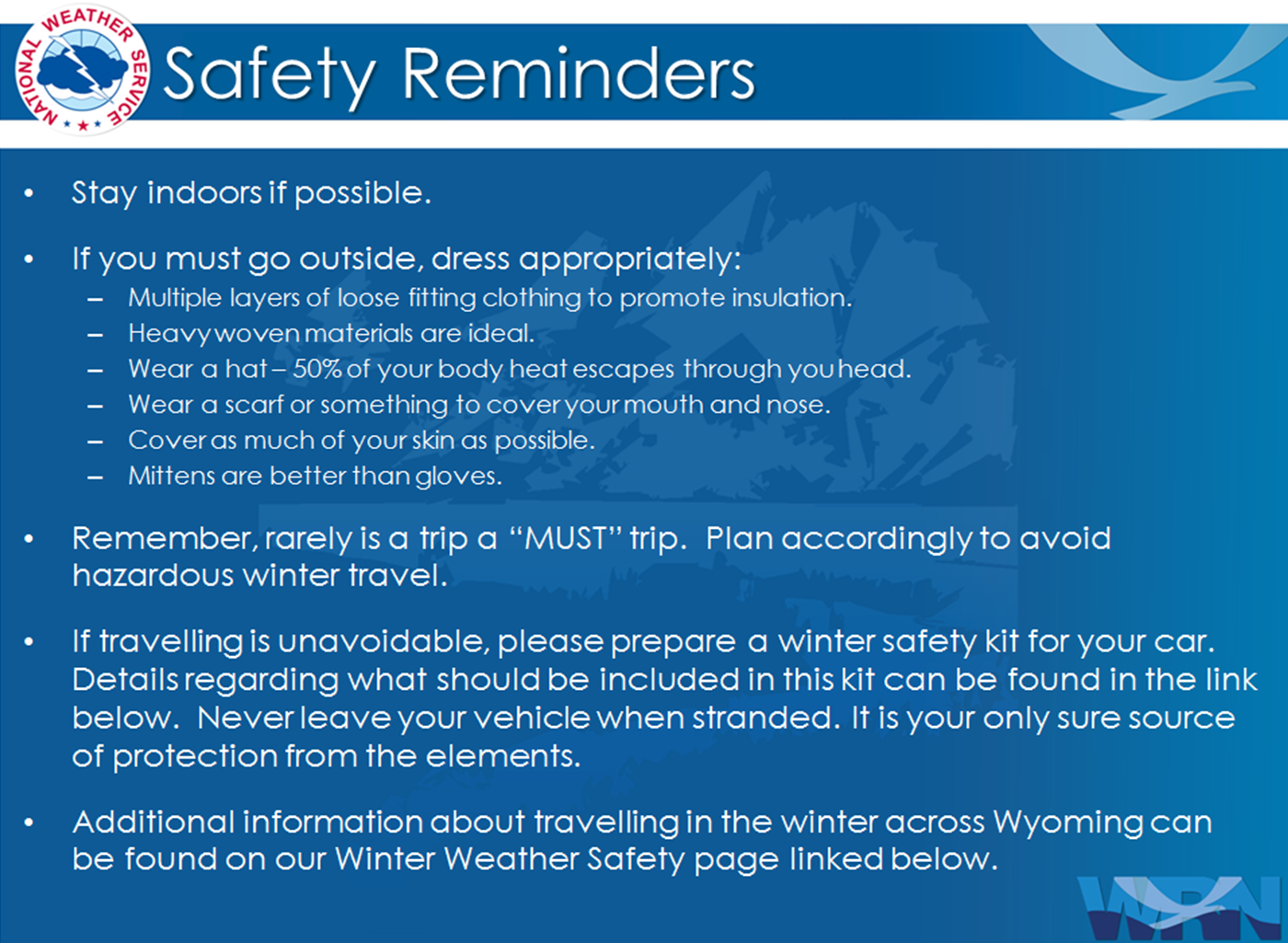
Winter Safety Kit | Winter Weather Safety
 |
Learn more about the National Weather Service's efforts to build a Weather-Ready Nation! |