Isolated severe storms capable of hail and gusty winds are possible mainly this evening across portions of the mid-Mississippi Valley. Clusters of thunderstorms may produce isolated flash flooding in the Florida peninsula. Elevated fire weather risk is possible in the Northern Plains into western Minnesota. Read More >
 |
The National Weather Service Building a Weather-Ready Nation |
Forecast | Monitoring & Reporting | Safety
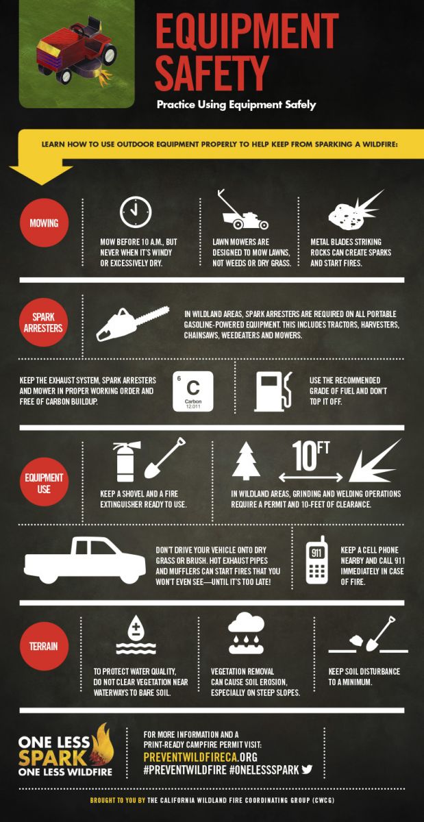
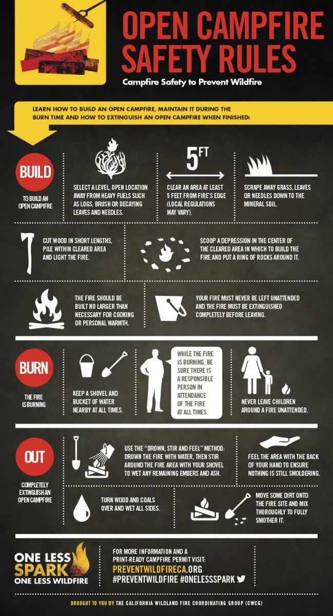
Cooler but very dry and windy conditions will prevail across south and central Wyoming on Saturday behind Friday's cold frontal passage. These conditions result in high to extreme fire danger, especially across Johnson and Natrona counties and the southern Bighorn Mountains where Red Flag Warnings remain in effect until 9 pm Saturday. Any fires that develop in these areas will likely spread rapidly. Outdoor burning is strongly discouraged. Learn before you burn.
 |
 |
.jpg) |
 |
Monitor our Severe Weather Summary Page for current Warnings, Watches, and Advisories. What's the difference? |
 |
Check the latest Weather Story graphic for an overview of the area forecast. |
 |
Check out what's on the radar. Riverton | Pocatello | Cheyenne | Billings | Salt Lake City | Rapid City | Mosaic |
 |
Submit storm reports/images and keep up to date with us on Facebook! |
 |
Other reporting methods include eSpotter, email (cr.wxriw@noaa.gov), or by phone at 1-800-211-1448. |
 |
Check the latest Public Information Statement for the latest storm reports. |
 |
Monitor current road conditions by visiting the Wyoming Dept. of Transportation (WYDOT) or by calling 5-1-1. |
 |
Learn more about the National Weather Service's efforts to build a Weather-Ready Nation! |