Summary | Forecast | Travel Center | Monitoring & Reporting | Safety
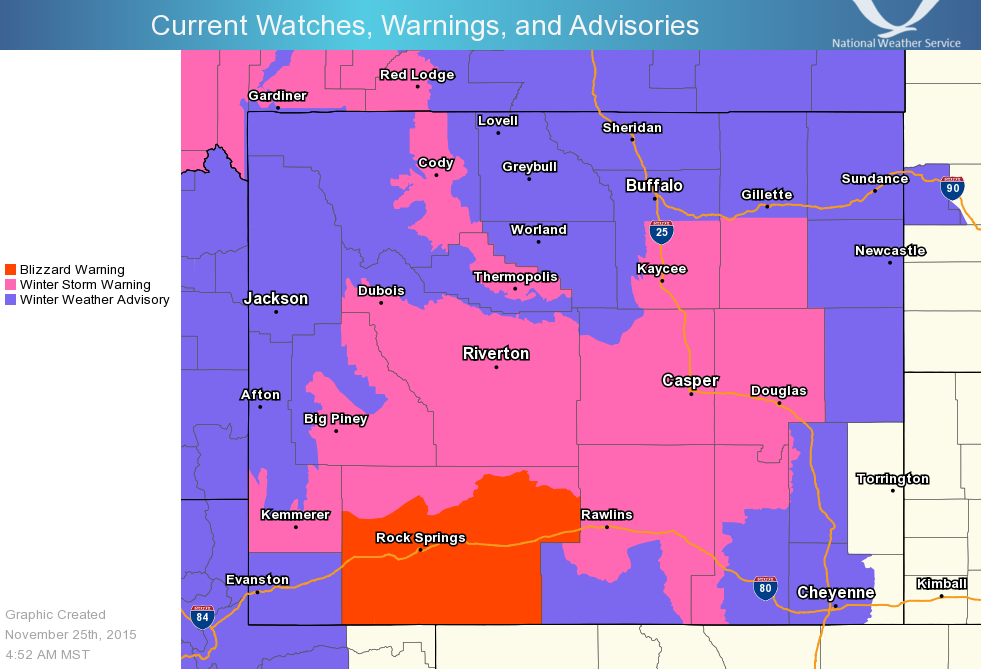
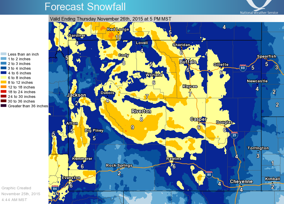
SYNOPSIS: A significant winter storm over the Great Basin will impact much of the area beginning today across the north and central with snow, heavy at times, through Thanksgiving Day. The heaviest snow is expected to fall from Wednesday evening through Thursday morning across central Wyoming.
Colder, upslope flow will develop east of the Continental Divide Wednesday with areas form Casper to Lander looking most favorable for the heaviest snow amounts.
Strong northeast winds will likely cause areas of blowing and drifting snow, with areas of very limited visibility across portions of central and southern Wyoming, including Interstate 80. White-out conditions and ground blizzards are expected across Sweetwater county. Details of this upcoming winter storm are below. In general, those who are planning to travel this holiday should pay close attention to the timing and expected impacts of this storm.
IMPACTS:
.png) |
|
Click Image To Enlarge |
|
|
|
|
|
|
|
|
High Wind Statement |
|
Multimedia Briefing |
 |
 |
|
Click Image To Enlarge Current Watches, Warnings, and Advisories |
Click Image To Enlarge Storm Total Snowfall |
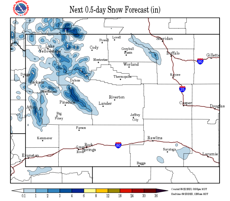
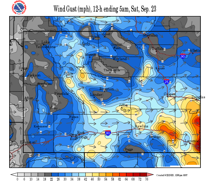
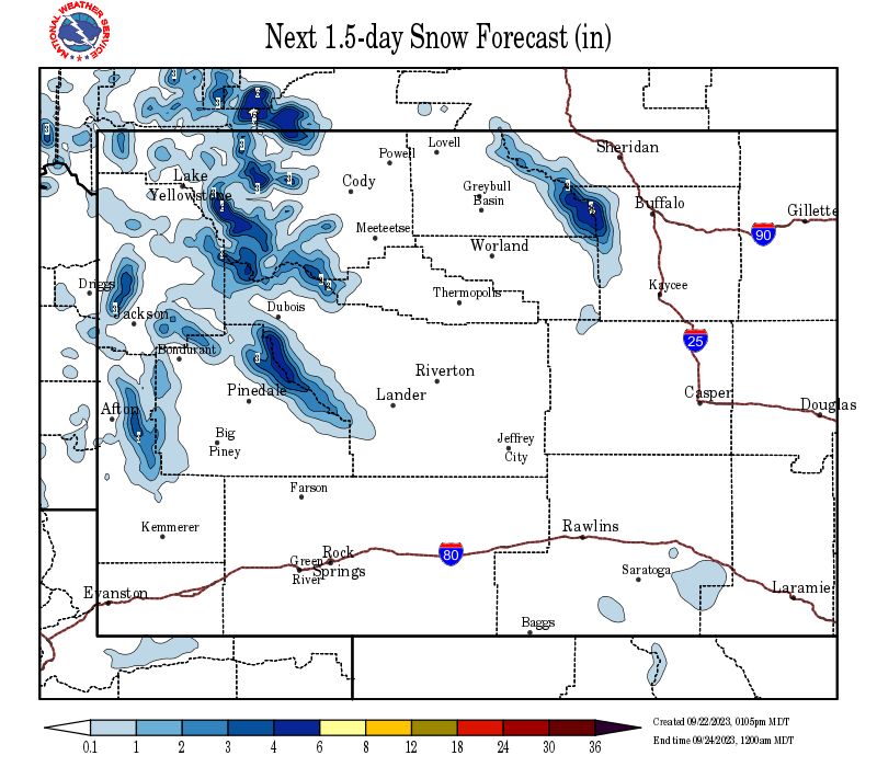
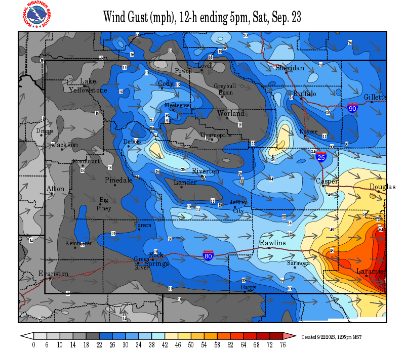
Snow and Wind Forecasts - Update Every 3 Hours
 |
 |
|
12 Hour Snow Accumulation Forecast |
12 Hour Peak Wind Gusts |
 |
 |
|
24 Hour Snow Accumulation Forecast |
12-24 Hour Peak Wind Gusts |
 |
 |
|
36 Hour Snow Accumulation Forecast |
24-36 Hour Peak Wind Gusts |
Summary | Forecast | Travel Center | Monitoring & Reporting | Safety
|
|
|
|
|
|
|
|
|
 |
 |
 |
 |
|
|
|
|
|
 |
 |
 |
 |
|
|
|
|
|
|
|
 |
 |
 |
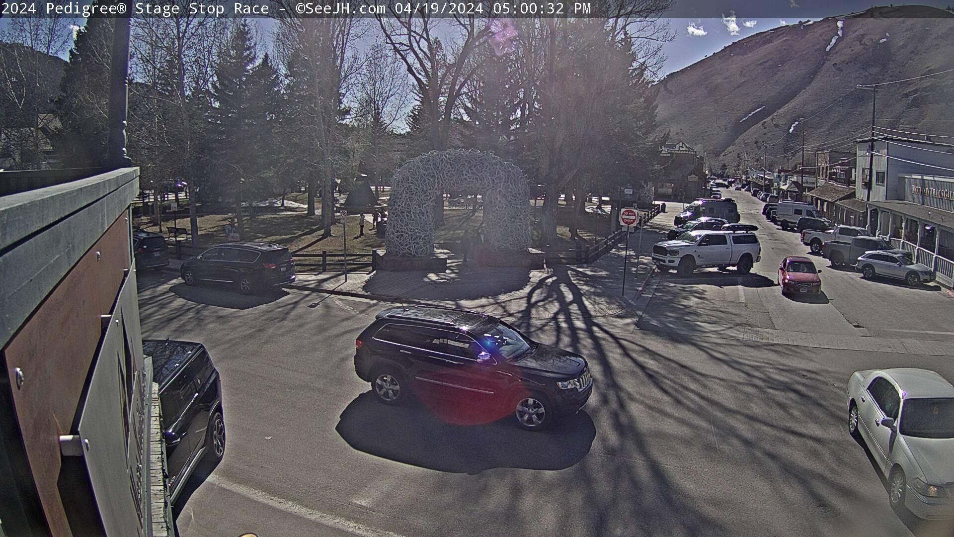
Click Here to See All Webcams (New Window)
If you plan to travel, we recommend checking road conditions along your route and staying on top of road closures here. If you are on Twitter, follow the hashtag: #WyoRoad (or look below) for the latest weather affecting roads and road conditions in and around Wyoming.
| Tweets by @NWSRiverton | #WyoRoad Tweets |
|
Get the play-by-play on this storm and contribute your own snow reports to #wywx |
On the road? Tweet road conditions to #WyoRoad! |
 |
 |
|
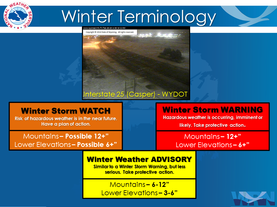
Winter Terminology |
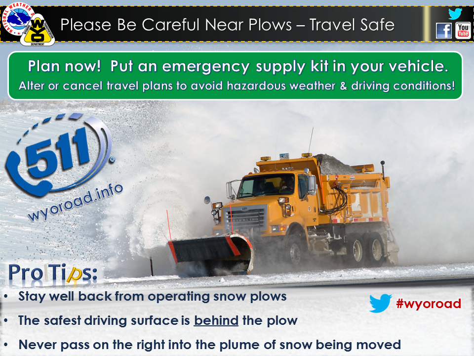
Snow Plow Safety |
 |
 |
|
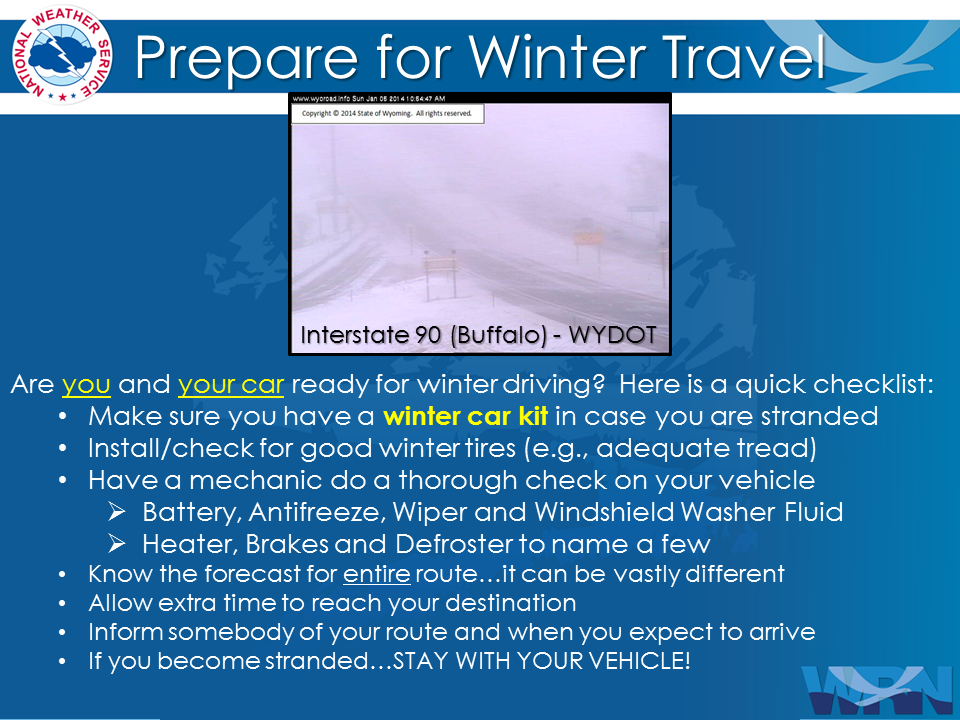
Prepare You and Your Car Before Traveling |
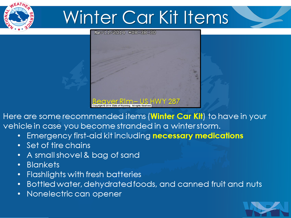
Always Have A Winter Survival Kit In Your Car |
 |
 |
|
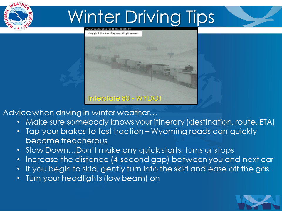
Remember Proper Winter Driving Tips |
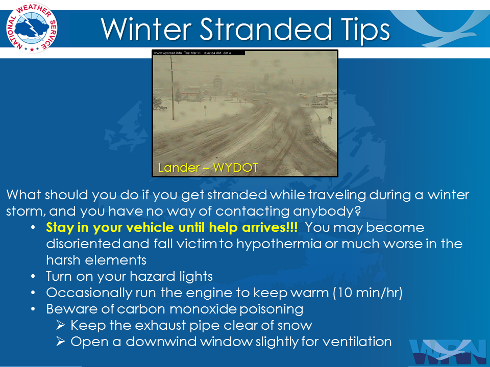
Stay In Your Vehicle If Stranded |

Summary | Forecast | Travel Center | Monitoring & Reporting | Safety
PLEASE SEND US YOUR SNOW REPORTS (CLICK HERE)
 |
Monitor our Severe Weather Summary Page for current Warnings, Watches, and Advisories. What's the difference? |
 |
Check the latest Weather Story graphic for an overview of the area forecast. |
 |
Check out what's on the radar. Riverton | Pocatello | Cheyenne | Billings | Salt Lake City | Rapid City | Mosaic |
 |
Submit storm reports/images and keep up to date with us on Facebook! |
 |
Submit storm reports/images and keep up to date with us on Twitter! |
 |
Other reporting methods include submitting an online report, email (cr.wxriw@noaa.gov), or by phone at 1-800-211-1448. |
 |
Check the latest Public Information Statement for the latest storm reports. |
 |
Monitor current road conditions by visiting the Wyoming Dept. of Transportation (WYDOT) or by calling 5-1-1. |
Summary | Forecast | Travel Center | Monitoring & Reporting | Safety
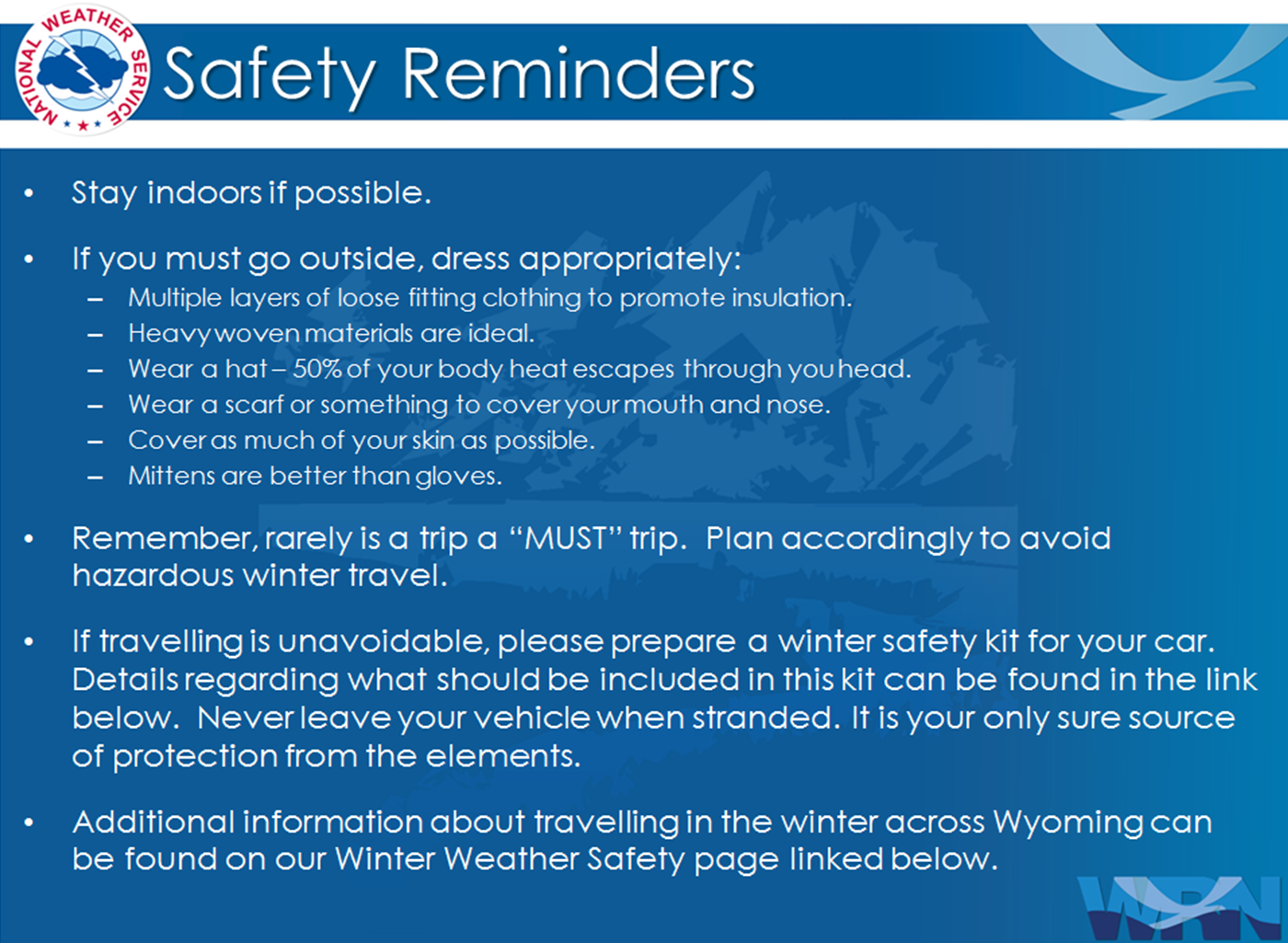
Winter Safety Kit | Winter Weather Safety
 |
Learn more about the National Weather Service's efforts to build a Weather-Ready Nation! |