
Wildfire smoke continues to result in poor air quality from the Upper Midwest into the Northeast. Dangerous heat and fire weather concerns for portions of the Four Corners region into the central Great Basin. Heavy rainfall and flash flooding possible for the Southeast through Monday. For Hawaii, gusty trade winds a drier weather could result in any fires that start to spread rapidly. Read More >
Summary | Forecast | Travel Center | Monitoring & Reporting | Safety
SYNOPSIS: A winter storm will continue to impact much of western and central Wyoming through this evening with periods of breezy winds and snow. Snowfall has been weakening throughout the afternoon, and will continue to diminish through the evening hours, before ending late tonight. Western mountains will likely see snowfall into Wednesday. Please see the latest winter weather statement for more details. This storm system is expected to finally exit the area later today as colder temperatures settle in. Lows are expected to dip into the single to double digit negatives again, for some locations beginning tonight/Wednesday morning.
IMPACTS:
Roads remaining or becoming slick and snow packed over much of western & central Wyoming.
Backcountry avalanche danger could increase. Please see Bridger-Teton Avalanche Center for more details.
Visibility under a mile at times in snow could result in aviation delays across western and central Wyoming.
|
|
|
|
|
|
|
|
|
||
 |
 |
|
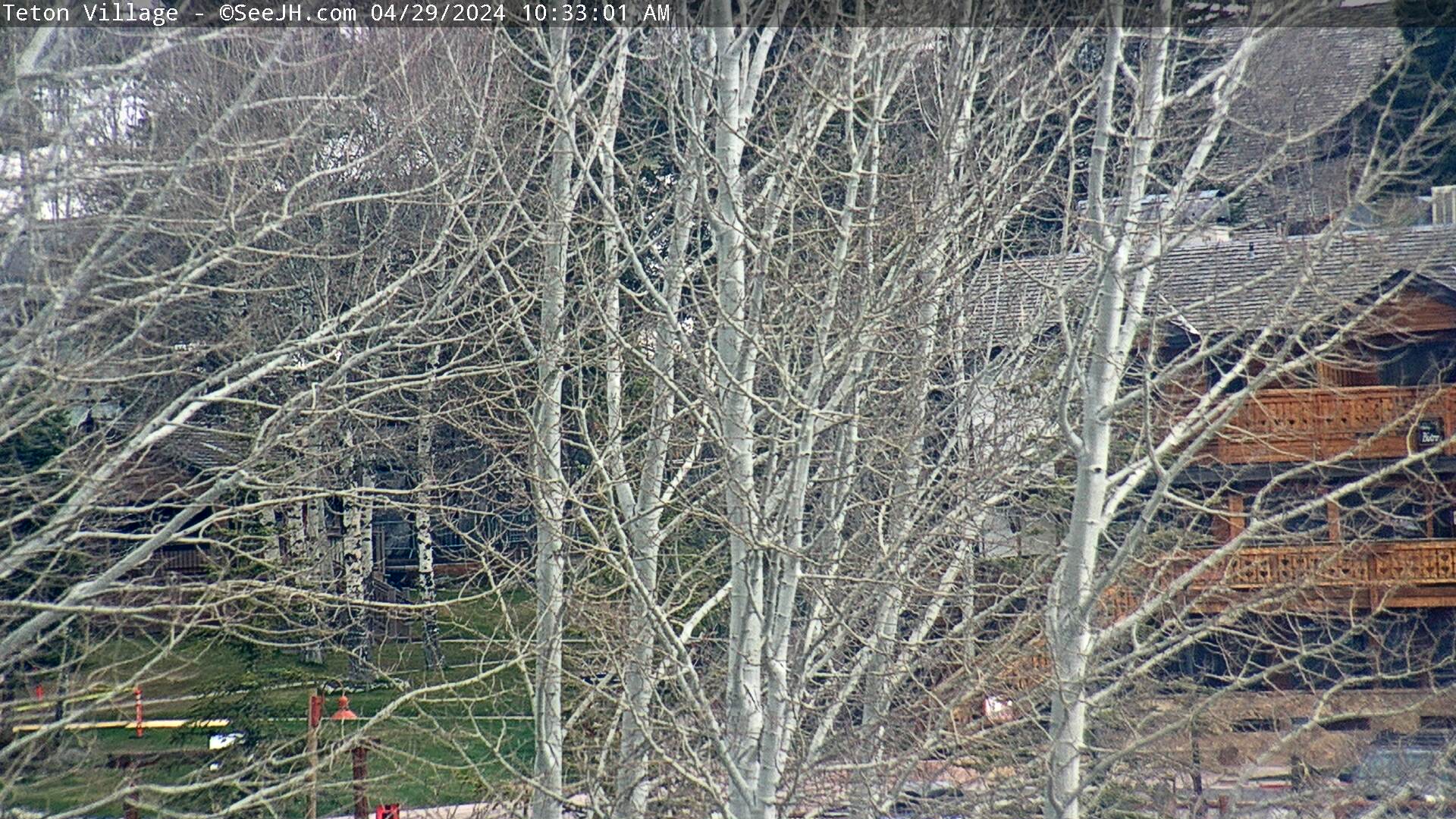
Click Image To Enlarge |
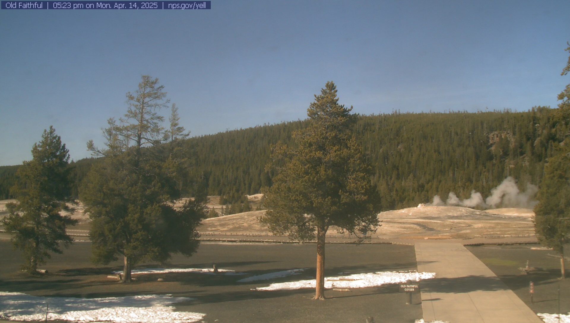
Click Image To Enlarge |
Observed Snowfall Amounts
|
647 NOUS45 KRIW 161820 PNSRIW WYZ001>020-022>030-170620- Public Information Statement National Weather Service Riverton WY 1220 PM MDT Wed Jul 16 2025 ...Widespread Rainfall Tuesday afternoon and evening... A cold front, combined with a strong mositure surge, brout widespread showers and thunderstorms to much of Wyoming on Tuesday. Nearly everyone got some rainfall with the exception of portions of south- west WY. Some locations that saw training thunderstorms received over one inch of rain, while others were only skirted by thunderstorms and received minimal rainfall. A selection of rainfall reports are below. ...PRECIPITATION REPORTS... Location Amount Time/Date Elevation (ft.) ...Big Horn County... Lovell 0.5 ESE 0.62 in 0723 AM 07/16 3829 Lovell 0.7 S 0.55 in 0800 AM 07/16 3906 Lovell 0.51 in 0700 AM 07/16 3848 Deaver 0.39 in 0800 AM 07/16 4105 Cowley 0.3 NNE 0.29 in 0722 AM 07/16 4016 Lovell 2.2 S 0.29 in 0800 AM 07/16 3928 Byron 2.9 WSW 0.25 in 0700 AM 07/16 Greybull 12.9 ENE 0.21 in 0600 AM 07/16 4169 ...Fremont County... Lander 9.1 NNW 1.15 in 0640 AM 07/16 5509 Fort Washakie 3.7 SE 0.49 in 0600 AM 07/16 5548 Hudson 0.1 NNE 0.37 in 0700 AM 07/16 5108 Lander 2NNW 0.31 in 0700 AM 07/16 5352 Dubois 0.28 in 0600 AM 07/16 6955 Shoshoni 13 NW 0.24 in 0800 AM 07/16 4760 5 ESE Dubois 0.19 in 0800 AM 07/16 Pavillion 5.8 E 0.11 in 0700 AM 07/16 5322 Lander 7WNW 0.06 in 0630 AM 07/16 6042 Lander 5.9 SSE 0.06 in 0700 AM 07/16 5556 Lander 5.1 SW 0.06 in 0700 AM 07/16 5980 Riverton 5.4 W 0.06 in 0800 AM 07/16 Riverton 2.2 WSW 0.04 in 0800 AM 07/16 5033 Riverton 1.9 W 0.04 in 0800 AM 07/16 5123 Riverton 2 W 0.03 in 0700 AM 07/16 5073 Riverton 0.03 in 0700 AM 07/16 4955 ...Hot Springs County... Thermopolis 33.2 W 0.51 in 0700 AM 07/16 Kirby 0.36 in 0800 AM 07/16 4352 Thermopolis 6 NNE 0.30 in 0700 AM 07/16 4434 Thermopolis 18.6 E 0.25 in 0800 AM 07/16 4879 Thermopolis 9NE 0.15 in 0700 AM 07/16 4282 ...Johnson County... Kaycee - Coop 0.34 in 0700 AM 07/16 4660 Buffalo 2NE 0.33 in 0800 AM 07/16 4770 Buffalo 0.6 E 0.30 in 0700 AM 07/16 4696 Buffalo 13 SSE 0.30 in 0700 AM 07/16 4819 Buffalo 4 SSW 0.28 in 0700 AM 07/16 5262 Kaycee 17 NNW 0.27 in 0700 AM 07/16 5056 Buffalo 4.0 N 0.25 in 0600 AM 07/16 4685 Kaycee 10.9 WNW 0.16 in 0700 AM 07/16 5481 Kaycee 14.6 W 0.15 in 0700 AM 07/16 Kaycee 5.2 NNW 0.15 in 0700 AM 07/16 ...Lincoln County... Smoot 5 SSE 0.13 in 0700 AM 07/16 7005 Bedford 1.8 S T in 0700 AM 07/16 6302 Star Valley Ranch 1.0 S T in 0700 AM 07/16 6204 Afton T in 0800 AM 07/16 6248 Star Valley Ranch T in 0800 AM 07/16 6253 ...Natrona County... Casper 5 SSW 1.06 in 0700 AM 07/16 6262 Casper 1S 0.93 in 0700 AM 07/16 5522 Casper 0.7 WSW 0.71 in 0700 AM 07/16 Casper 1.7 W 0.68 in 0700 AM 07/16 5146 Casper 1.5 SW 0.58 in 0600 AM 07/16 Casper 1.2 E 0.57 in 0800 AM 07/16 Casper 2.8 ENE 0.54 in 0800 AM 07/16 5202 Casper 0.7 NE 0.52 in 0700 AM 07/16 5179 Casper 2 SW 0.48 in 0800 AM 07/16 5434 Casper 2.0 ENE 0.46 in 0600 AM 07/16 5252 Casper 7.5 W 0.36 in 0630 AM 07/16 5361 Casper 7.1 SW 0.28 in 0530 AM 07/16 5415 Lysite 12 NE 0.20 in 0700 AM 07/16 6045 ...Park County... Meeteetse 2.0 SE 0.31 in 0700 AM 07/16 6071 Meeteetse 0.2 NE 0.20 in 0700 AM 07/16 5807 Powell 4 ENE 0.19 in 0630 AM 07/16 4288 Cody 5.3 E 0.19 in 0700 AM 07/16 Clark 3NE 0.19 in 0800 AM 07/16 4117 Powell 24.2 WNW 0.19 in 0800 AM 07/16 Cody 2.9 ESE 0.18 in 0700 AM 07/16 Cody 2NE 0.18 in 0700 AM 07/16 4939 Cody 1SE 0.18 in 0700 AM 07/16 5102 Powell 0.2 ESE 0.16 in 0730 AM 07/16 4392 Cody 20.9 W 0.14 in 0600 AM 07/16 5815 Powell 5E 0.14 in 0700 AM 07/16 4276 Cody 2WSW 0.12 in 0700 AM 07/16 5161 6 SW Ralston 0.12 in 0700 AM 07/16 Cody 7NE 0.12 in 0700 AM 07/16 4787 Cody 7.2 NNE 0.10 in 0500 AM 07/16 4859 Powell 4.0 WSW 0.10 in 0630 AM 07/16 Tower Falls 0.09 in 0800 AM 07/16 6275 ...Sublette County... Pinedale 26 NNW 0.17 in 0800 AM 07/16 7687 Cora 14.2 N 0.16 in 0700 AM 07/16 7740 Pinedale 14 NW 0.03 in 0600 AM 07/16 7464 Boulder Rearing Station T in 0800 AM 07/16 6940 ...Sweetwater County... Green River 1 SSE T in 0630 AM 07/16 6241 Green River 0.5 NNW T in 0700 AM 07/16 6185 ...Teton County... Jackson 12 NE 0.63 in 0809 AM 07/16 6663 Jackson 5 NW 0.57 in 0700 AM 07/16 6217 Jackson 7.8 N 0.50 in 0715 AM 07/16 Jackson 0.3 ENE 0.49 in 0700 AM 07/16 6264 Wilson 1.0 SE 0.45 in 0700 AM 07/16 6155 Teton Village 2 NE 0.44 in 0600 AM 07/16 6339 Wilson 3 SSW 0.29 in 0800 AM 07/16 7010 Grant Village 0.8 E 0.14 in 0700 AM 07/16 7807 Bechler Ranger Station 0.12 in 0730 AM 07/16 6432 ...Washakie County... Ten Sleep 0.42 in 0700 AM 07/16 4426 Winchester 0.33 in 0700 AM 07/16 4216 Ten Sleep 27 S 0.23 in 0800 AM 07/16 5002 Worland 8 SW 0.20 in 0600 AM 07/16 4136 Worland 2 NE 0.17 in 0700 AM 07/16 4089 Worland - COOP 0.16 in 0700 AM 07/16 4058 Worland 2.3 NE 0.15 in 0700 AM 07/16 Worland 1 W 0.15 in 0800 AM 07/16 4052 Ten Sleep 5 NNW 0.11 in 0700 AM 07/16 4531 Worland 9.6 N 0.04 in 0700 AM 07/16 4043 Observations are collected from a variety of sources with varying equipment and exposures. We thank all volunteer weather observers for their dedication. Not all data listed are considered official. $$ |
Snow and Wind Forecasts
 |
 |
|
12 Hour Snow Accumulation Forecast |
12 Hour Peak Wind Gusts |
 |
 |
|
24 Hour Snow Accumulation Forecast |
12-24 Hour Peak Wind Gusts |
 |
 |
|
36 Hour Snow Accumulation Forecast |
24-36 Hour Peak Wind Gusts |
 |
 |
|
Today's High Temperature |
Tonight's Low Temperature |
 |
 |
|
Tomorrow's High Temperature |
Tomorrow Night's Low Temperature |
 |
 |
|
Day 3 High Temperature |
Day 3 Low Temperature |
Summary | Forecast | Travel Center | Monitoring & Reporting | Safety
|
|
|
|
|
|
|
|
 |
 |
 |
 |
|
|
|
|
|
 |
 |
 |
 |
|
|
|
|
|
 |
 |
 |
 |
If you plan to travel, we recommend checking road conditions along your route and staying on top of road closures here. If you are on Twitter, follow the hashtag: #WyoRoad (or look below) for the latest weather affecting roads and road conditions in and around Wyoming.
 |
| Tweets by @NWSRiverton | #WyoRoad Tweets |
|
Get the play-by-play on this storm and contribute your own snow reports to #wywx |
On the road? Tweet road conditions to #WyoRoad!
|

Summary | Forecast | Travel Center | Monitoring & Reporting | Safety
PLEASE SEND US YOUR SNOW REPORTS (CLICK HERE)
 |
Monitor our Weather Summary Page for current Warnings, Watches, and Advisories. What's the difference? |
 |
Check the latest Weather Story graphic for an overview of the area forecast. |
 |
Check out what's on the radar. Riverton | Pocatello | Cheyenne | Billings | Salt Lake City | Rapid City | Mosaic |
| Submit storm reports/images and keep up to date with us on Facebook! | |
 |
Submit storm reports/images and keep up to date with us on Twitter! |
 |
Other reporting methods include submitting an online report, email (nws.riverton@noaa.gov), or by phone at 1-800-211-1448. |
 |
Check the latest Public Information Statement for the latest storm reports. |
| Monitor current road conditions by visiting the Wyoming Dept. of Transportation (WYDOT) or by calling 5-1-1. | |
| Get current road conditions, web camera images, road alerts, and much more on your mobile device by downloading the Wyoming 511 Mobile App. |
Summary | Forecast | Travel Center | Monitoring & Reporting | Safety

Winter Safety Kit | Winter Weather Safety
 |
Learn more about the National Weather Service's efforts to build a Weather-Ready Nation! |


