Cold Season Severe Weather Episode of December 28, 2005
by Hunter Coleman
(click on images for full size versions)
A severe weather event occurred over parts of northeast Kentucky, southeast Ohio and western West Virginia during the afternoon hours on December 28, 2005. This was a very unusual event for this area, due to the fact that only five other severe weather events had occurred during the month of December during the period between 1950 and 2000.
The synoptic setup for this day was a strong closed upper low pressure system was moving east across southern Indiana and northern Kentucky during the afternoon of December 28, 2005. Surface winds were out of the south between 10 and 15 mph with stronger mid level winds around 50 to 60 mph. Temperatures were generally in the upper 50s to lower 60s across the tri-state region, which is about 15 degrees above normal.
A line of thunderstorms developed around 11 am or 16 UTC across south central Kentucky (Figure 1) and pushed eastward at about 20 to 25 mph. There was plenty of sunshine ahead of the storms, which formed on a low level convergence boundary. This added to the instability and aided in the continued development of the storms. There was a pool of cold air at 500mb (colder than -20C) that overspread the region during the afternoon which created steep lapse rates and also contributed to the strong thunderstorm development.
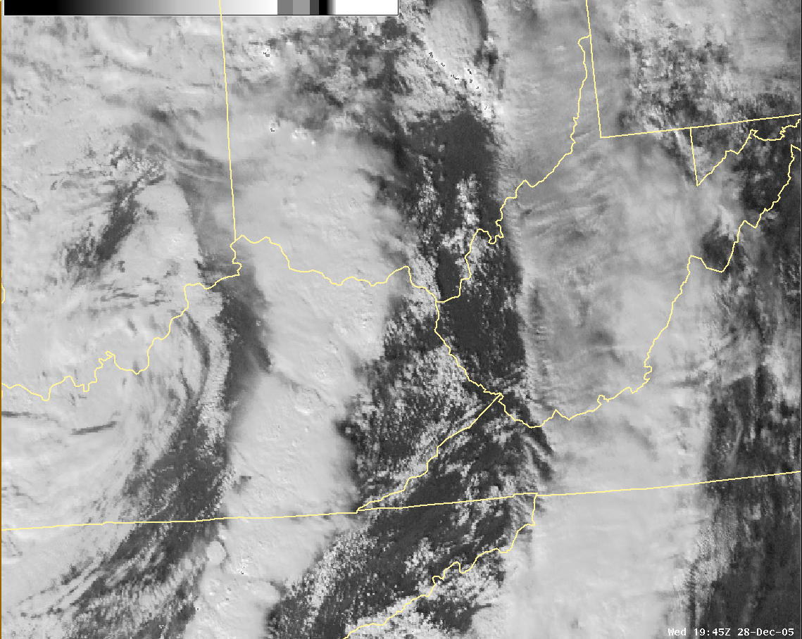
Figure 1 - Satellite picture of thunderstorm development over Kentucky.
An isolated cluster of stronger storms entered the Charleston, WV county warning area in Carter County, KY shortly after 3 pm (Figure 2). The storms can been seen on the visible satellite image by the overshooting cloud tops, shown by the arrow. The storms continued along a northeastward track up the Ohio through about 5 pm.

Figure 2 - Satellite image of overshooting cloud tops in Carter County, KY.
The storms produced some wind damage in the Olive Hill area of Carter County around 3:30 pm (Figure 3).
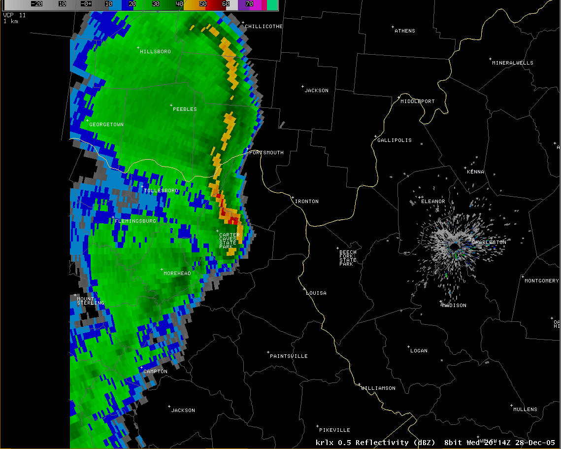
Figure 3 - Radar image of severe storms over Kentucky.
The storms continued to move northeast through Greenup County and then into Lawrence County, OH (Figure 4) and eventually into Gallia County, OH and Mason County, WV. Nickel sized hail was reported along the path of the storm.

Figure 4 - Radar image of severe storms in southeastern Ohio.

