A storm system will bring heavy rainfall, thunderstorms, and flooding threats to portions of the Southern Plains Friday, the Lower Mississippi Valley Saturday, and the Southeast into the Mid-Atlantic on Sunday. High elevation snow and mixed precipitation and rain in the lower elevations will impact the Pacific Northwest this weekend before a stronger system moves in early next week. Read More >
Seattle, WA
Center Weather Service Unit
|
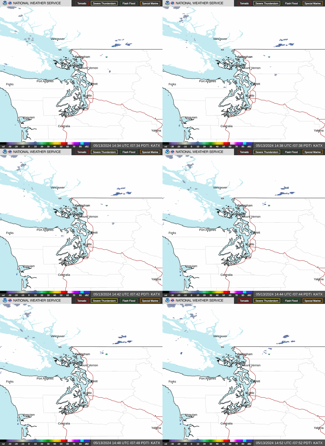
A Puget Sound Convergence Zone (PSCZ) forms when strong westerly winds flow around the Olympic Peninsula and converge over Puget Sound.
It generally forms north of Seattle, and may move southward to as far as Boeing Field or SeaTac Airport.
A PSCZ can cause a narrow band of convective precipitation along it, which can include rain showers, thunderstorms, or snowfall.
Strong south to southwest winds are to the south of the PSCZ and north to northwest winds to the north. |
|
 |
 |
| Hover over or click station to get METAR and TAF (if available) |
Wind Barbs, PIREPs, Radar, 10nm Range Rings, all sites except CWOP |
|
058 FTUS46 KSEW 130301 AAA TAFSEA TAF AMD KSEA 130301Z 1303/1406 22006KT P6SM BKN090 BKN200 FM131100 18006KT P6SM OVC030 FM131600 19007KT P6SM VCSH OVC025 FM131900 20008KT P6SM -RA OVC025 FM132100 19007KT P6SM -RA OVC035 FM140100 18005KT P6SM VCSH BKN035 OVC050= |
|
|
751 FTUS46 KSEW 122320 TAFBFI TAF KBFI 122320Z 1300/1324 15006KT P6SM SCT120 OVC200 FM130400 17005KT P6SM BKN100 OVC200 FM131100 16005KT P6SM OVC035 FM131600 19007KT P6SM VCSH OVC025 FM131900 18006KT P6SM -RA OVC025= |
|
|
771 FTUS46 KSEW 122320 TAFPAE TAF KPAE 122320Z 1300/1324 18007KT P6SM SCT120 BKN200 FM130300 14008KT P6SM BKN100 OVC200 FM131000 15009KT P6SM OVC025 FM131700 16008KT P6SM VCSH OVC030 FM132000 16007KT 6SM -RA BR OVC025= |
|
US Dept of Commerce
National Oceanic and Atmospheric Administration
National Weather Service
Seattle, WA
3101 Auburn Way South
Auburn, WA 98092
Comments? Questions? Please Contact Us.

