A frontal boundary extending from the western High Plains to the Southeast will focus additional showers and thunderstorms this weekend. Some of these storms may become severe, alongside frequent lightning, and isolated instances of flash flooding. Meanwhile dry conditions will continue for the Great Basin where fire weather concerns linger. For the mid-Atlantic and Northeast, seasonable weather. Read More >
Seattle, WA
Center Weather Service Unit
Area Headlines and Weather Stories for Smoke and Fire |
|
Satellite Analyzed Fires and Smoke with Surface Visibility Observations (sm) |
|
Satellite Analyzed Fires and Smoke with Latest Air Quality Observations (AQI) |
|
Surface Smoke Model Loop ⇛ Long Loop ⇛ Short Loop Vertically Integrated Smoke Model Loop |
|
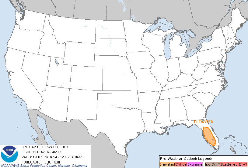
Fire Weather Outlook Day 1
|
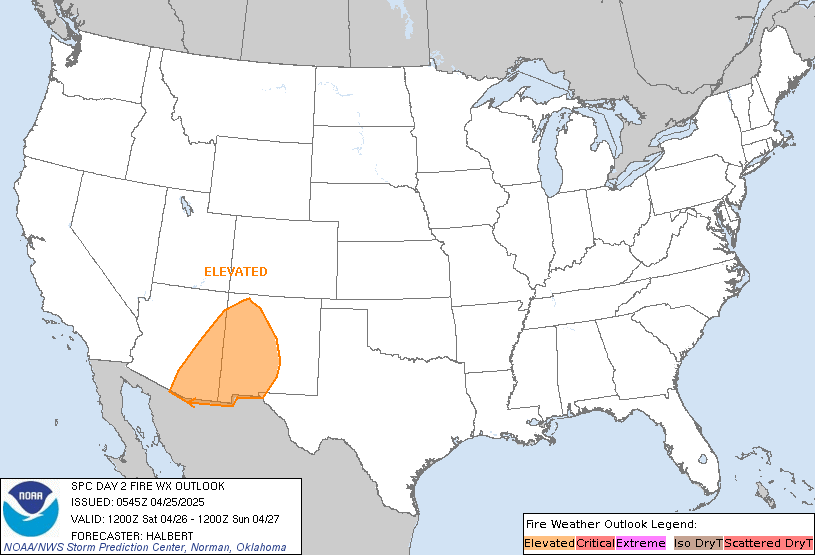
Fire Weather Outlook Day 2
|
GeoColor Satellite Loop with Lightning
|
|
TAFs and METARs with Smoke (FU) |
|
Other Sites |
|
US Dept of Commerce
National Oceanic and Atmospheric Administration
National Weather Service
Seattle, WA
3101 Auburn Way South
Auburn, WA 98092
Comments? Questions? Please Contact Us.

