National Weather Service United States Department of Commerce

Banner

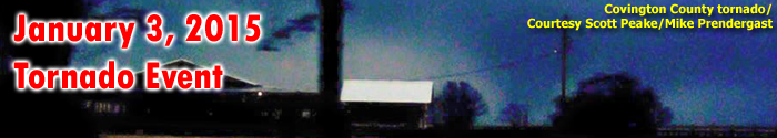
Covington County Tornadoes

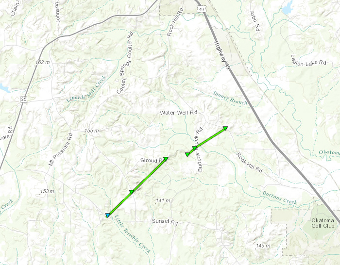
Click on map above to see entire damage point notation and damage pictures at select points.


Covington County Tornado #1 (Sunset Road)

Event Summary
This tornado began along Sunset Road, where the roof of a mobile home was damaged. It continued northeast, snapping trees along Cooley Springs-Coulter Road and Stroud Road before lifting.

Rating:
(Click for EF Scale)
EF-1
Estimated Maximum Wind: 90 mph
Fatalities/Injuries: none
Damage Path Length: 1.7 miles
Maximum Path Width: 50 yards
Approximate Start Point/Time:

5 NE Lone Star
2:36 pm

Approximate End Point/Time:

4 S Mount Olive
2:39 pm


Covington County Tornado #2 (Rock Hill)

Event Summary
This tornado began along the east end of Stroud Road, snapping numerous trees as it continued eastward across Burtons Creek Road, and ending near Rock Hill Road. The most impressive tree damage occurred as the tornado crossed Burtons Creek Road, where the tornado reached its peak intensity.

Rating:
(Click for EF Scale)
EF-1
Estimated Maximum Wind: 110 mph
Fatalities/Injuries: none
Damage Path Length: 1 mile
Maximum Path Width: 100 yards
Approximate Start Point/Time:

4 S Mount Olive
2:39 pm

Approximate End Point/Time:

4 SSE Mount Olive
2:40 pm