National Weather Service United States Department of Commerce
Click a location below for detailed forecast.

Last Map Update: Tue, May. 7, 2024 at 3:44:58 am CDT

National Weather Service Pueblo, CONational Weather Service Amarillo, TXNational Weather Service Norman, OK
National Weather Service Albuquerque, NMZoom
Out

National Weather Service Fort Worth/Dallas, TX
National Weather Service El Paso, TXNational Weather Service Midland/OdessaNational Weather Service San Angelo, TX

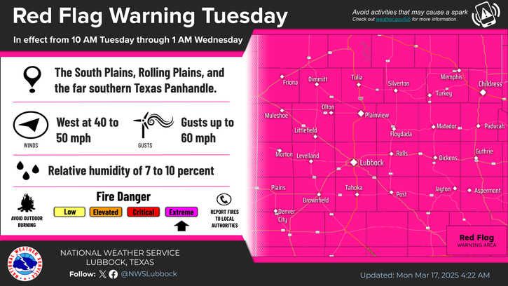
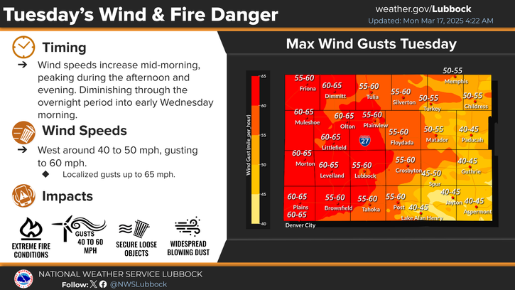
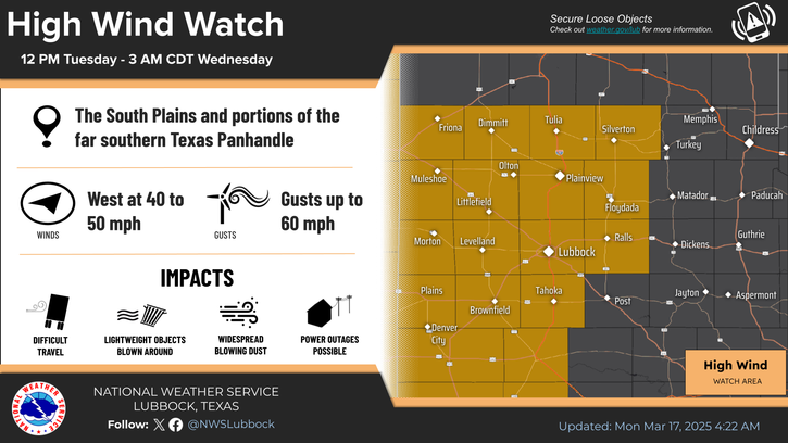
Southwest winds will pick up to between 20 and 25 mph this afternoon and create elevated wildfire conditions near the New Mexico border. Highs will top out in the mid to upper 80s under sunny skies.
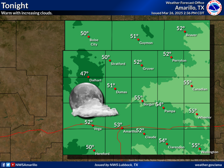
Not too shabby tonight with clear skies, westerly winds of 10 to 15 mph. Lows will range from the upper 40s northwest to the lower 60s southeast.


Local Weather History For May 7th...
1981: An intense supercell developed in western Crosby County late this afternoon before going on to produce at least
eight tornadoes within a span of 59 minutes. The first tornado formed one mile southwest of Ralls and was photographed and
documented extensively by a nearby citizen as it moved northeast. This tornado traveled five miles in 11 minutes and
caused no known damage. The second tornado was near the Caprock area, some 12 miles south of Ralls. A small tornado here
destroyed one home and part of a cotton gin. In addition, 90 trailers and four cotton strippers were damaged just south of
town. The third tornado was very brief and developed 1.5 miles northeast of Ralls where it destroyed a barn and damaged a
house. By 5:54 PM, a cluster of five small tornadoes was observed five miles east of Ralls. Reports suggested that four of
these were revolving around one large, dominant tornado. The large tornado destroyed a home and barn before moving
northeast and destroying a second storage barn. Hail up to baseball size preceded this tornado. Fortunately, no injuries
occurred with any of these tornadoes. Around the time this first supercell developed, a second supercell was churning away
in northwest Floyd County near Sterley. This storm produced a small and brief tornado before going on to drop hail as
large as baseballs in Matador around 5:30 PM resulting in some damage to windows.