|
More snow for southern portions of the South Plains |
|||
|
|
|||
|
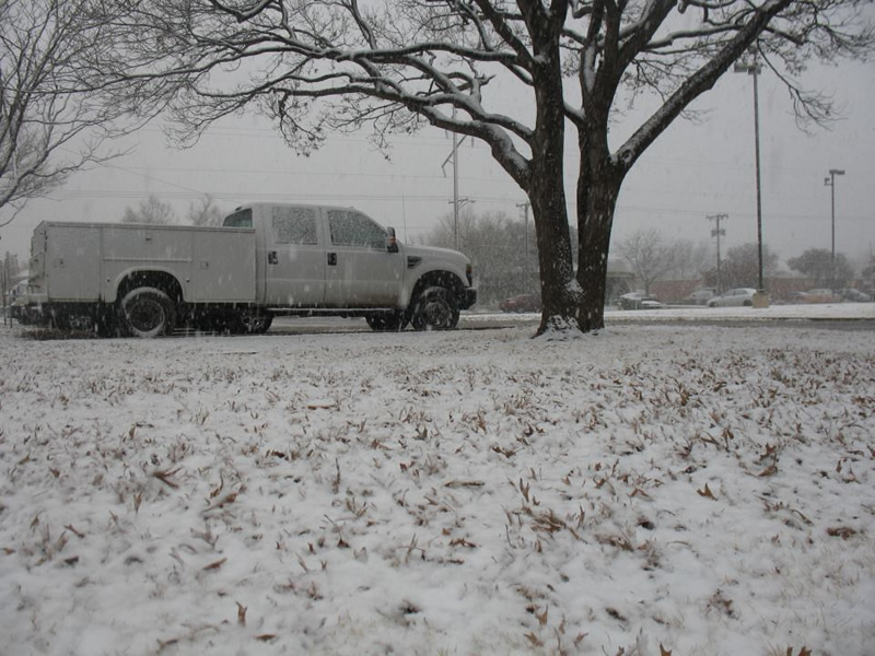
Photograph of snow falling at the Science Spectrum/National Weather Service office in Lubbock during a heavy snowfall band around 2 pm Monday the 9th (click on the image for a larger version). |
|||
|
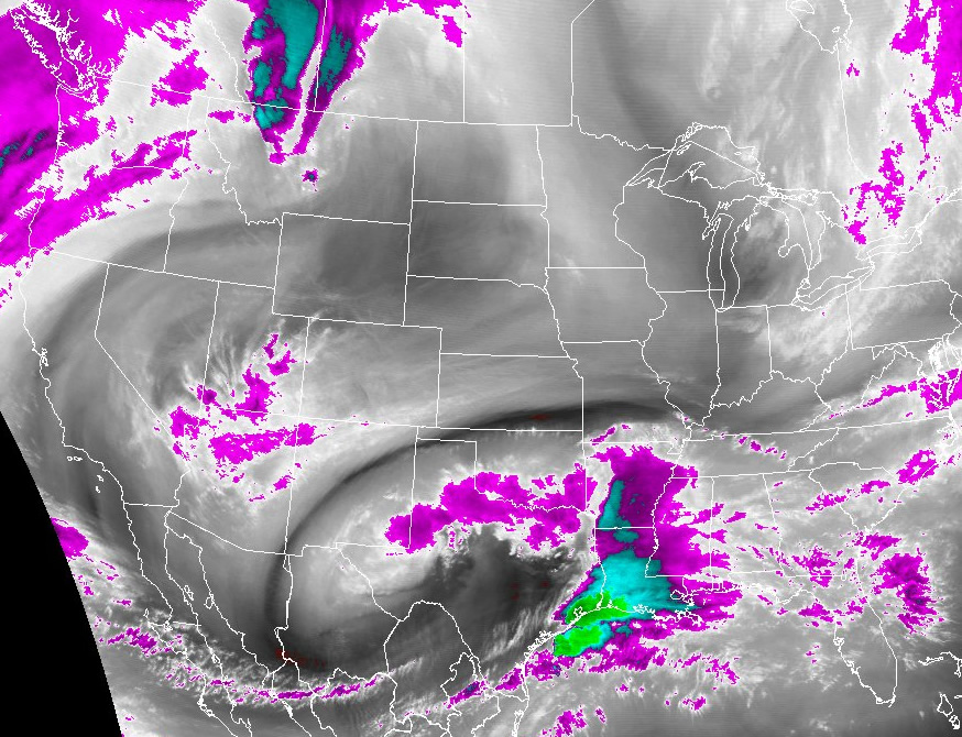
Light snow fell across mainly southern portions of the South Plains and Rolling Plains on Monday as an upper-level low pressure system moved from southwest Texas into central Texas. The heaviest snow fell across the Trans-Pecos and Permian Basin regions where up to about a foot of snow was reported from Hobbs New Mexico to the Midland-Odessa area. A satellite image from about 1 pm Monday afternoon shows the storm system spinning over southwest Texas. Also apparent is a cluster of severe thunderstorms which brought flooding rains to portions of southeast Texas. |
|||
|
|
|||
|
Satellite image showing water vapor content aloft around 1 pm Monday the 9th. Brightly colored areas indicate high water vapor (moisture) content. (click on the image for a larger version) |
|||
|
|
|||
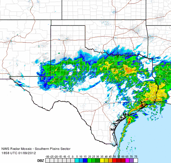
| The following animation of the radar reflectivity across Texas from about 1 pm to 2 pm CST shows a band of snow moving across the central South Plains including the southern half of Lubbock county. It also shows the bulk of steady snowfall across southeast New Mexico into the Permian Basin, along with the beneficial rains across north Texas and the thunderstorms in southeast Texas. | |||
|
|
|||
|
|||
|
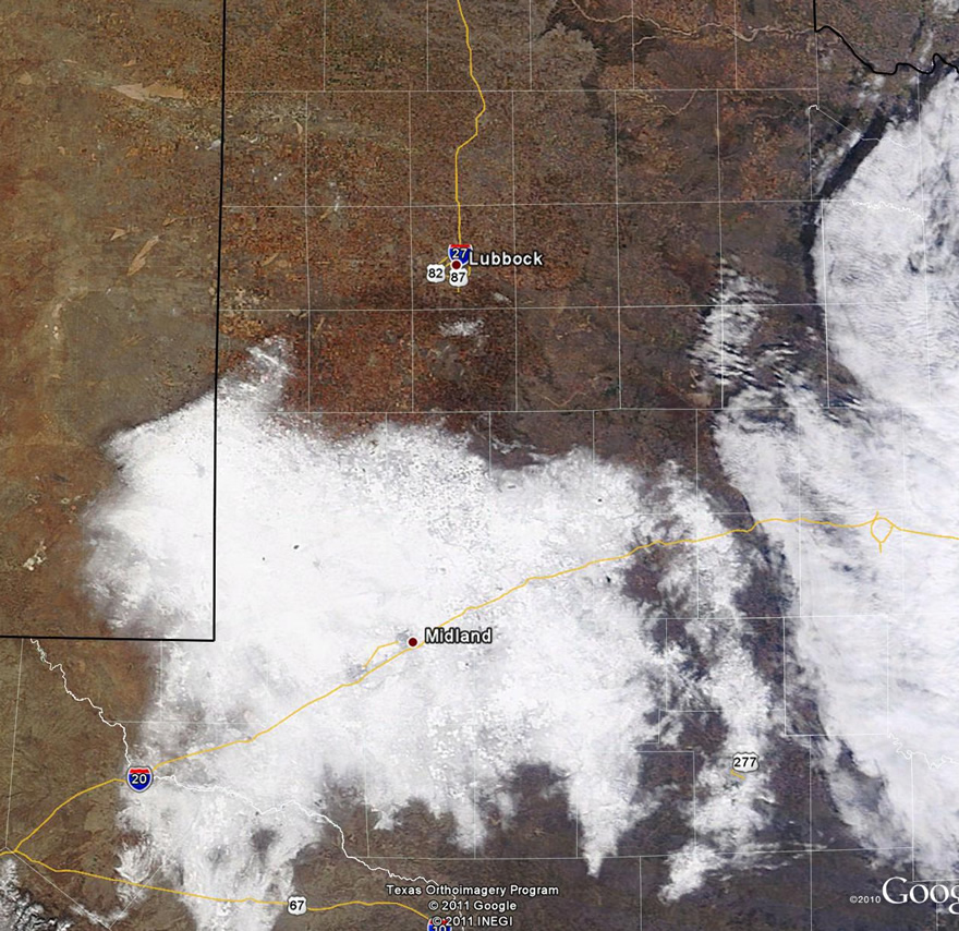
The image below shows the snowpack across the Permian Basin into the southern South Plains on Tuesday afternoon. Most of the snow had already melted across the Lubbock area. |
|||
|
|
|||
| MODIS visible satellite image captured Tuesday afternoon on the 10th. The large snowpack left behind by the storm is visible centered around Midland. The dark ring around Lynn, Lubbock into southern Hockley Counties is the wet ground remaining from the melted snow. Clouds are present over the eastern portion of the image. Click on the image for a larger view. | |||
| To view a page on this event composed by the Cooperative Institute for Meteorological Satellite Studies (CIMMS) at the University of Wisconsin-Madison CLICK HERE! | |||

