
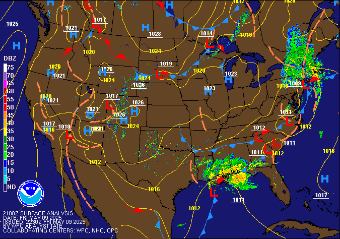
Isolated strong to severe thunderstorms are possible in parts of the Midwest and the south-central Plains. Heavy rainfall pose a risk of flash flooding in the Desert Southwest and northeast New Mexico, especially in burn scars, and in the urban corridor of southeast Florida. Read More >
Memphis
Center Weather Service Unit
| Memphis CWSU - Web Brief/Situational Awareness Display Briefing compatible to older IE browser versions |



|
|
|
|
|
|
Current FAA OPS Plan |
National Airspace System Status |
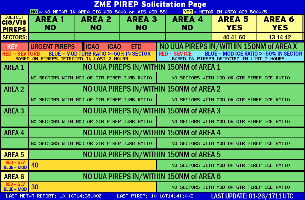
ZME CIG/VIS PIREP Page |
US Dept of Commerce
National Oceanic and Atmospheric Administration
National Weather Service
Memphis
3229 Democrat Road
Memphis, TN 38118
Comments? Questions? Please Contact Us.

