September is National Preparedness Month. Join us each week as we share important safety and preparedness information through our social media accounts. Check out our latest weather safety graphics here!
DFW’s Summer 2026 one of the hottest & driest ever
A Heat Advisory remains in effect for portions of North and Central Texas along and east of I-35 through 8 pm Tuesday. High temperatures will be between 97 and 101 degrees, with maximum heat index values up to 106 degrees. Stay hydrated and take frequent breaks in the shade or A/C if spending time outdoors.
Above-average temperatures in the upper 90s to lower 100s, dry conditions, and breezy south winds will lead to an elevated fire threat this afternoon, primarily west of I-35/I-35W in areas that missed out on the bulk of the rainfall last week. Avoid any activities that could lead to new fire starts!
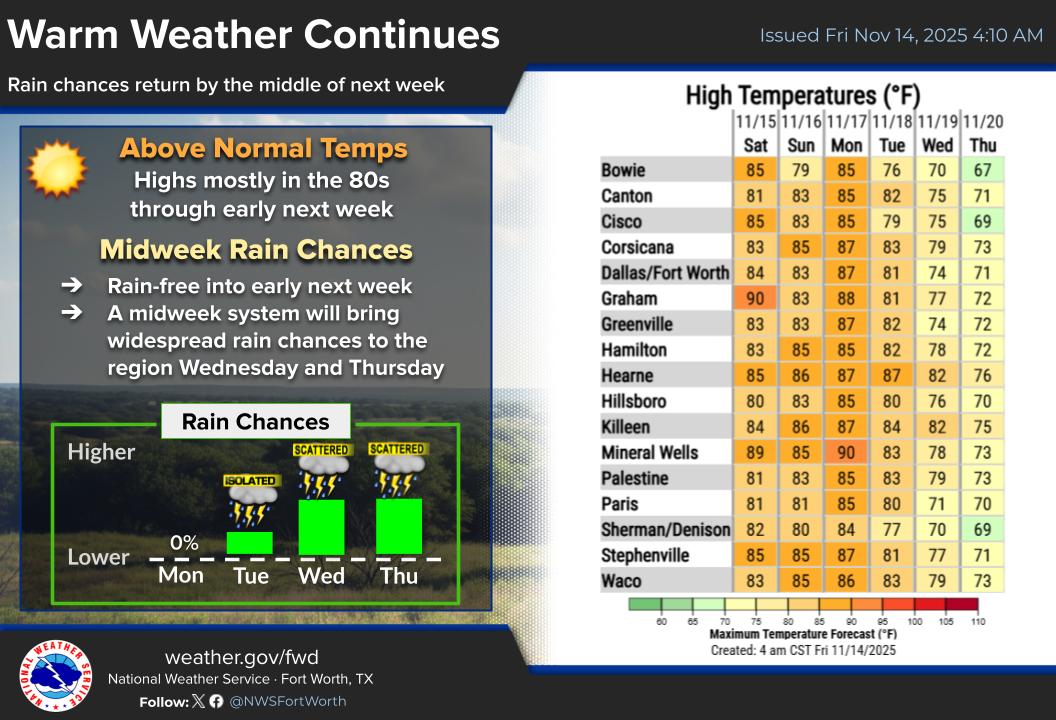
Abnormally hot weather will continue this week through the upcoming weekend. Triple digit temperatures will persist through at least Wednesday, but temperatures will trend slightly downward late this week through the weekend. Storm chances are currently expected to return late in the weekend and may continue into early next week.
Hot, dry, and breezy conditions will lead to an elevated fire threat this afternoon across parts of North and Central Texas. Know how you can help prevent wildfires!
With a hot and dry forecast next week, drought conditions are only expected to intensify for NTX. During a drought, be vigilant! It’s easy to conserve your household water use through simple actions. Follow any additional directions from local officials. https://weather.gov/safety/drought
Through September 14th, DFW Airport has had 50 days this summer with high temperatures in the 100s - the 6th most on record 🥵 Also, with no rain at DFW again today, DFW has seen 61 days in a row with no measurable rain 🌵 #txwx #dfwwx













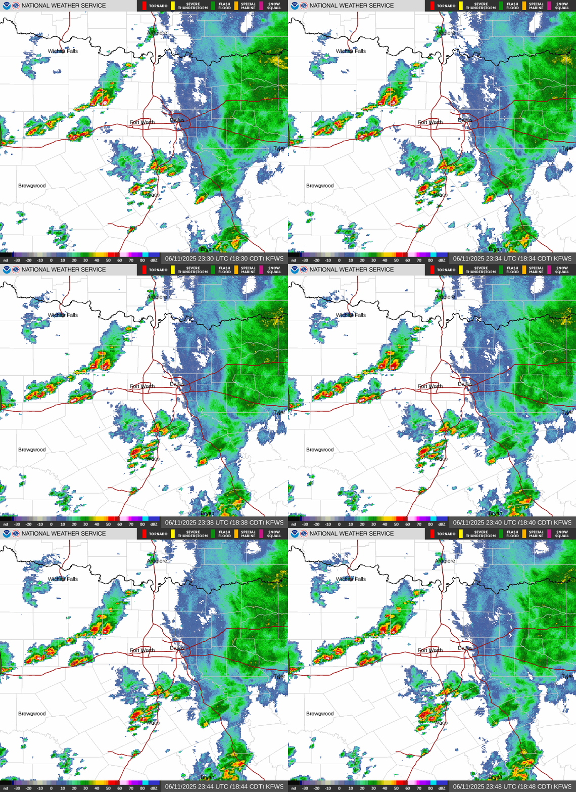 Local Radar
 Weather Map
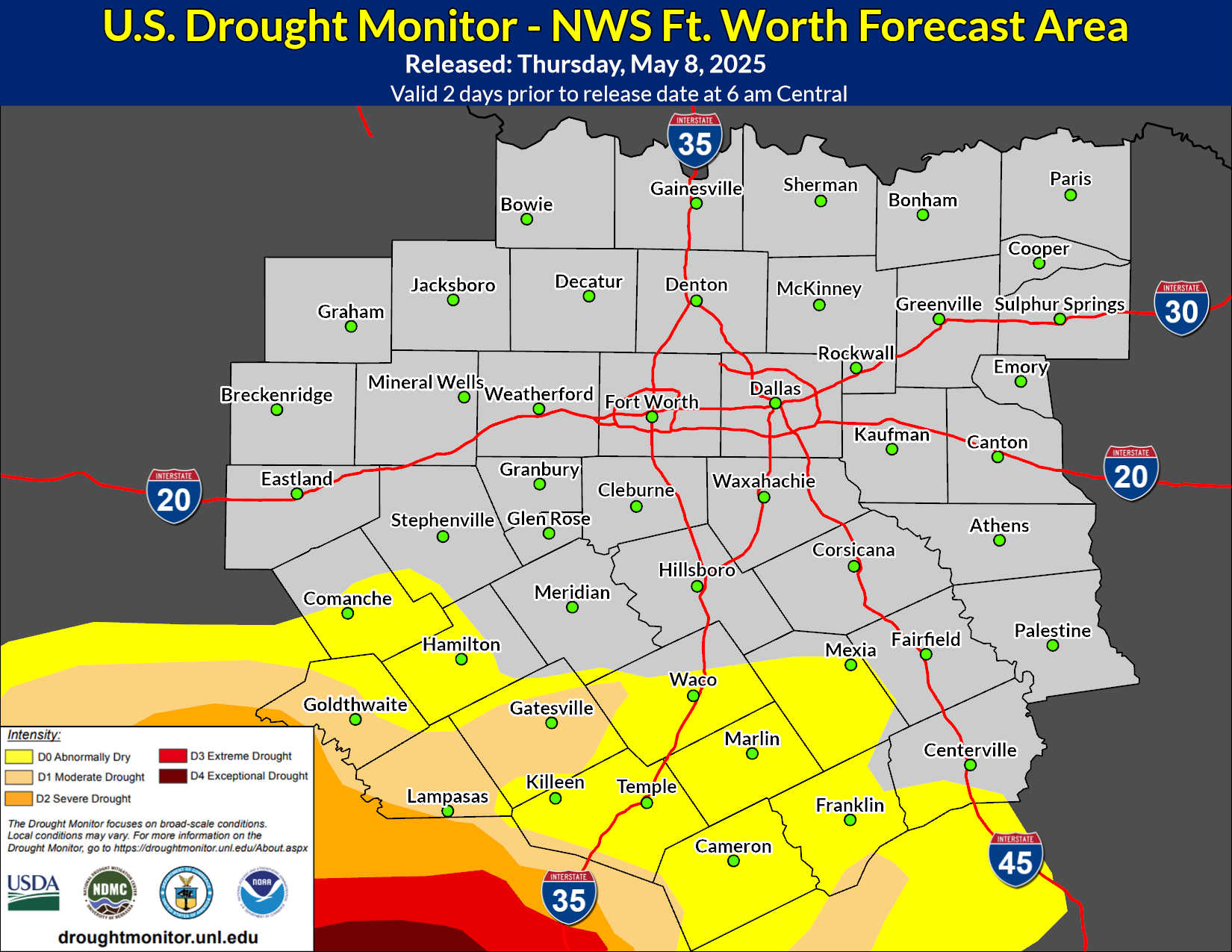 Drought Monitor
 Follow us on X
 Follow us on Facebook
 Follow us on YouTube
 FWD RSS Feed