
In the Upper Midwest, heavy to excessive rain may bring flash and urban flooding through Wednesday. Scattered severe thunderstorms capable of large hail and damaging wind gusts are possible from the central High Plains into the Upper Midwest Wednesday. Extreme heat is ongoing over the Desert Southwest through Thursday. Read More >
Last Map Update: Tue, Jul 7, 2026 at 9:02:18 pm PDT
|
Text Product Selector (Selected product opens in current window)
|
|


 Precipitation Tracker
 Graphical Hazards Outlook
 RADAR and Satellite
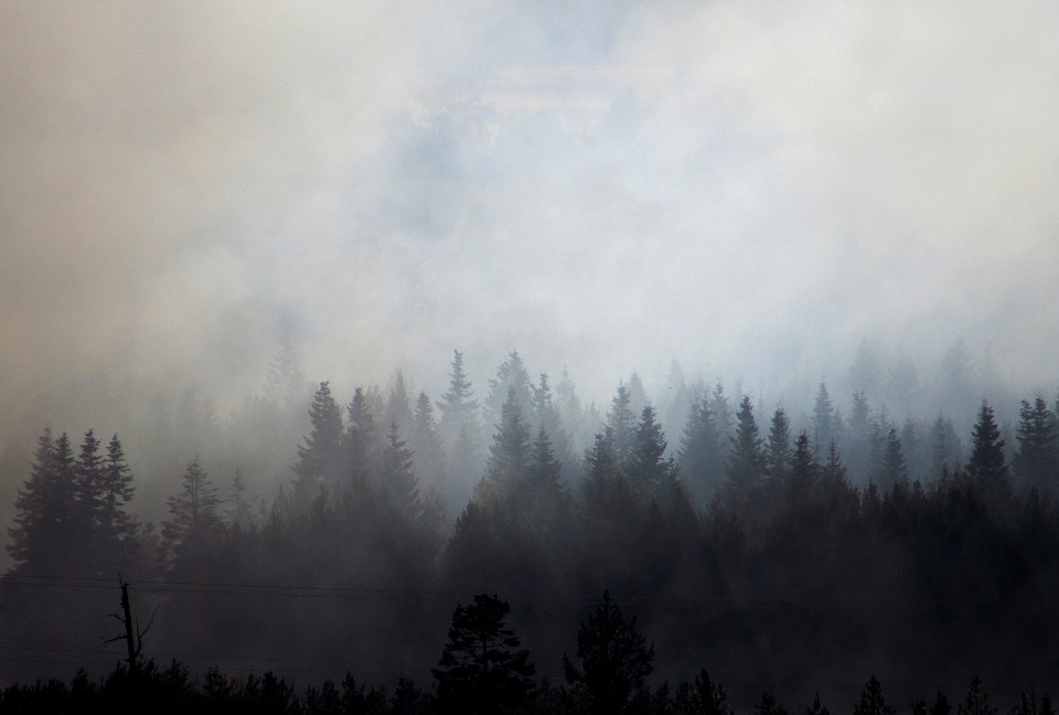 Wildfire Safety
 Forecast Discussion
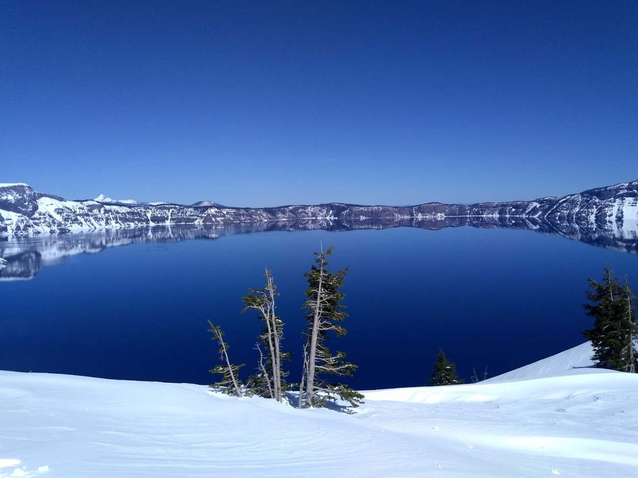 Snowfall and Depth With Crater Lake Details
 Avalanche Guidance
 NESDIS Geocolor
 Weather Map
 Marine
 GOES 18 Water Vapor Imagery
 Local Climate Data
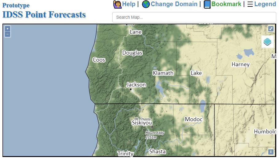 Alternate Point Forecast
 Smoke Forecast
 Weather Stats
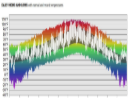 Year Charts
 Fire Weather