|
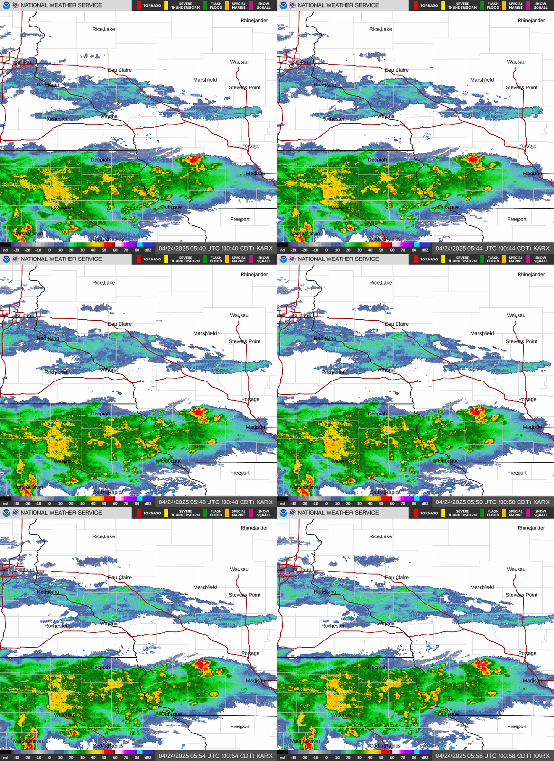
Scattered strong to severe storms are possible this afternoon into early evening as a surface front works across the area.
Moving into Tuesday and through at least Friday, that front will hang around and remain the focus for repeated rounds of showers and storms. With a very moist airmass in place, the rain will be heavy at times. Areas that see repeated heavy rainfall will see an increasing risk of localized flooding and river rises.
Pay close attention to the forecast as we move through the week, as rainfall amounts and locations impacted are pinned down.
Today: Severe Storm Risk
- What: strong to severe storms possible. Damaging wind gusts, small hail the main threats.
- Where: entire area
- Timing: til 9 PM
- Impacts: Winds could lead to tree damage, downed power lines. Localized flooding possible, with rises on some rivers and streams
- ACTION: stay weather aware! Take shelter when storms approach. If flooding is observed, move to higher ground
Rest Of Week: Rain, Heavy At Times
- What: periods of rain. Rain will be heavy at times. Several inches of accumulation possible where storms repeat - could lead to localized flooding. Expect rises on many rivers and streams
- Where: entire area. Focus for heavy rain threat could shift day-to-day.
- Timing: through late week
- Impacts: localized flooding. Ponding of water on roadways, storm sewers may backup. Mud and rock slides possible in hilly terrain. Rises on area rivers and streams
- ACTION: If flooding is observed, move to higher ground. Never drive a vehicle across a flooded road - it could be washed out or car easily carried into flood waters. Exercise extreme caution at night - harder to recognize the dangers of flash flooding
|
|
• Submit Report •
Severe Monitor
Hydro Monitor
Precipitation Reports
Hazardous Weather Outlook
Storm Reports

Radar
|
