
Wildfire smoke continues to impact air quality from the Great Lakes region into New England and the Mid-Atlantic today with widespread Air Quality Alerts in effect. Severe thunderstorms are expected across portions of the Ohio Valley and Lower Great Lakes into the Mid-Atlantic and Northeast, this afternoon into the evening. Monsoonal thunderstorms may bring areas of flooding to the Southwest. Read More >
Overview
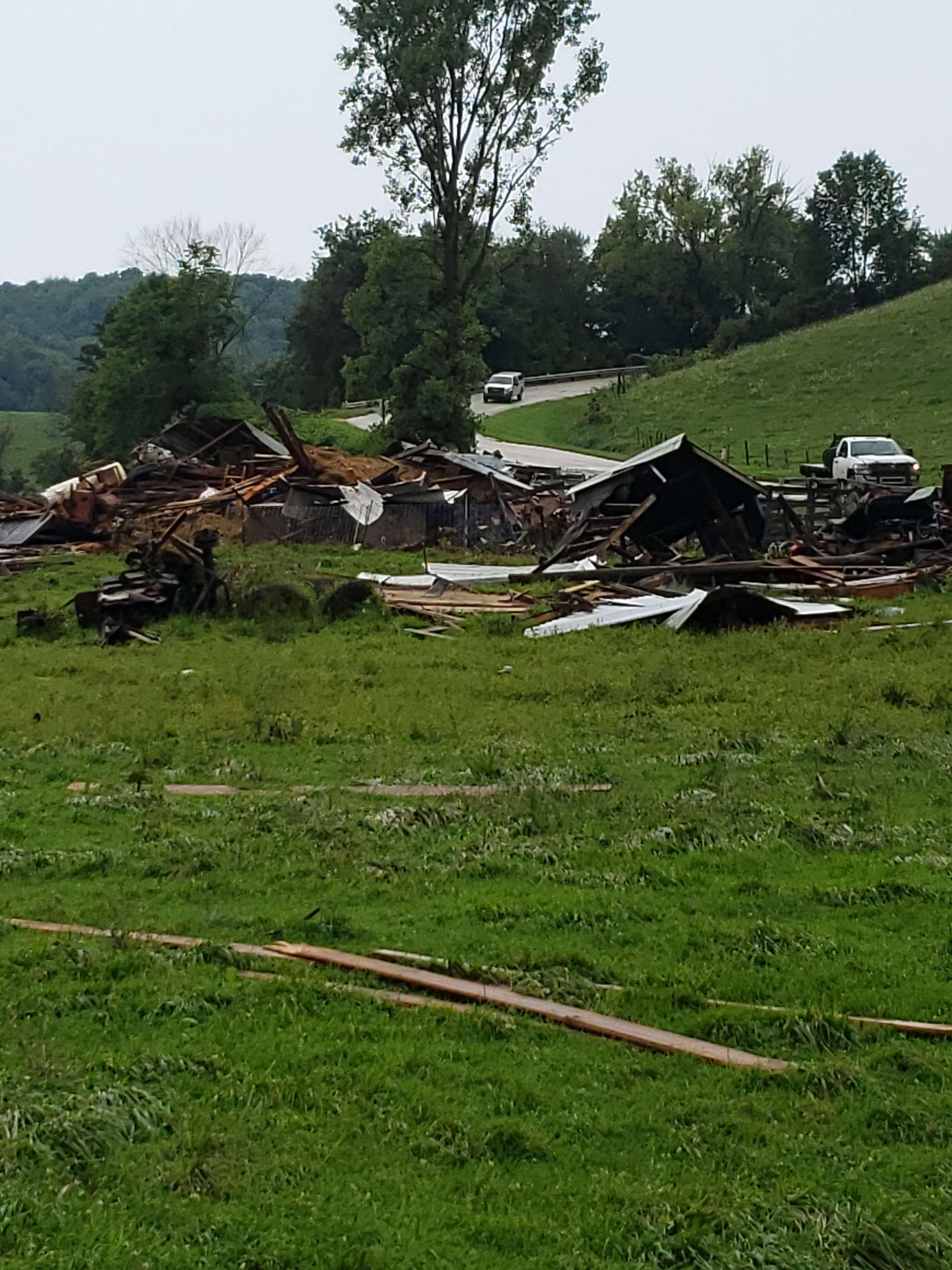
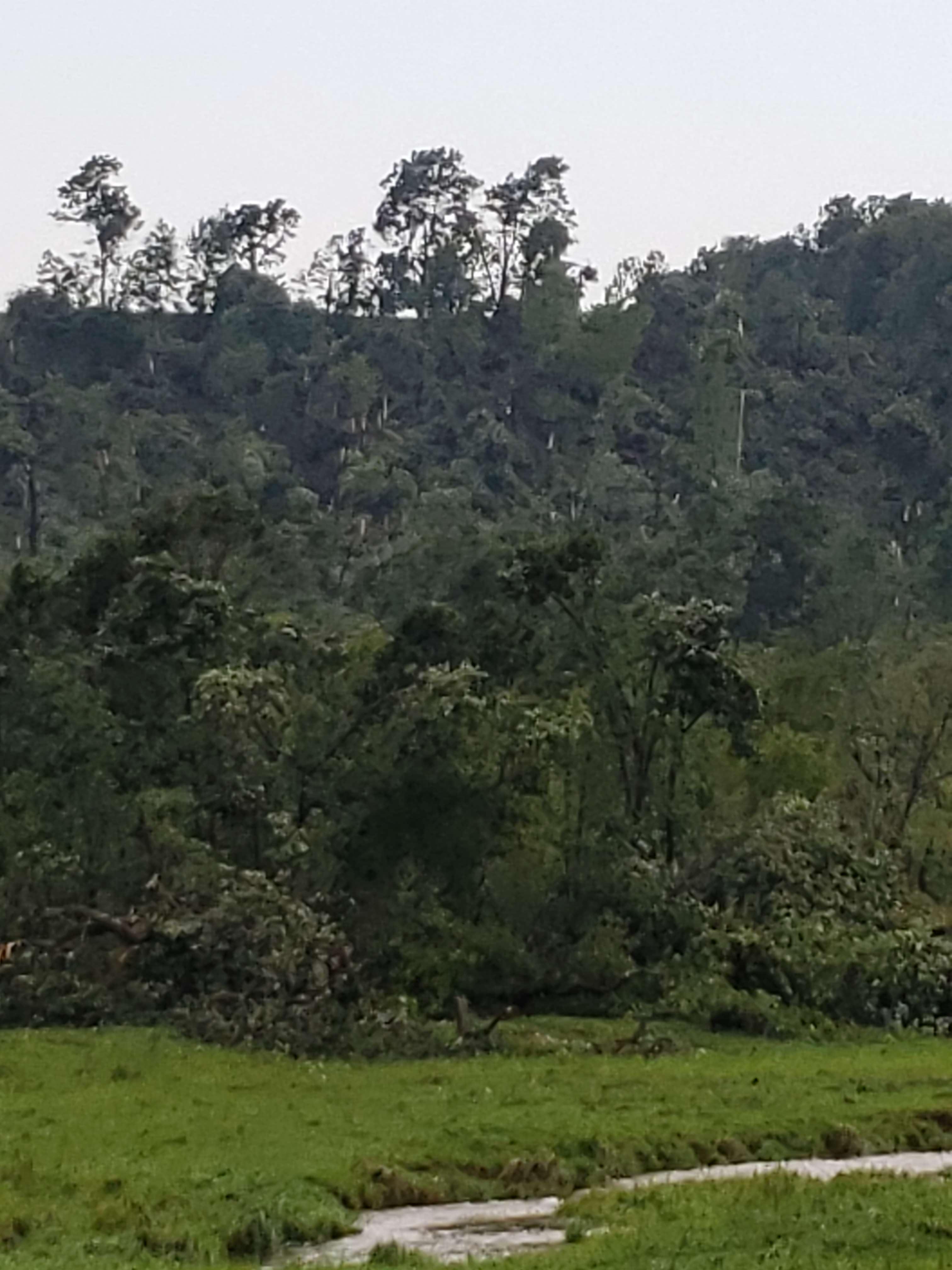
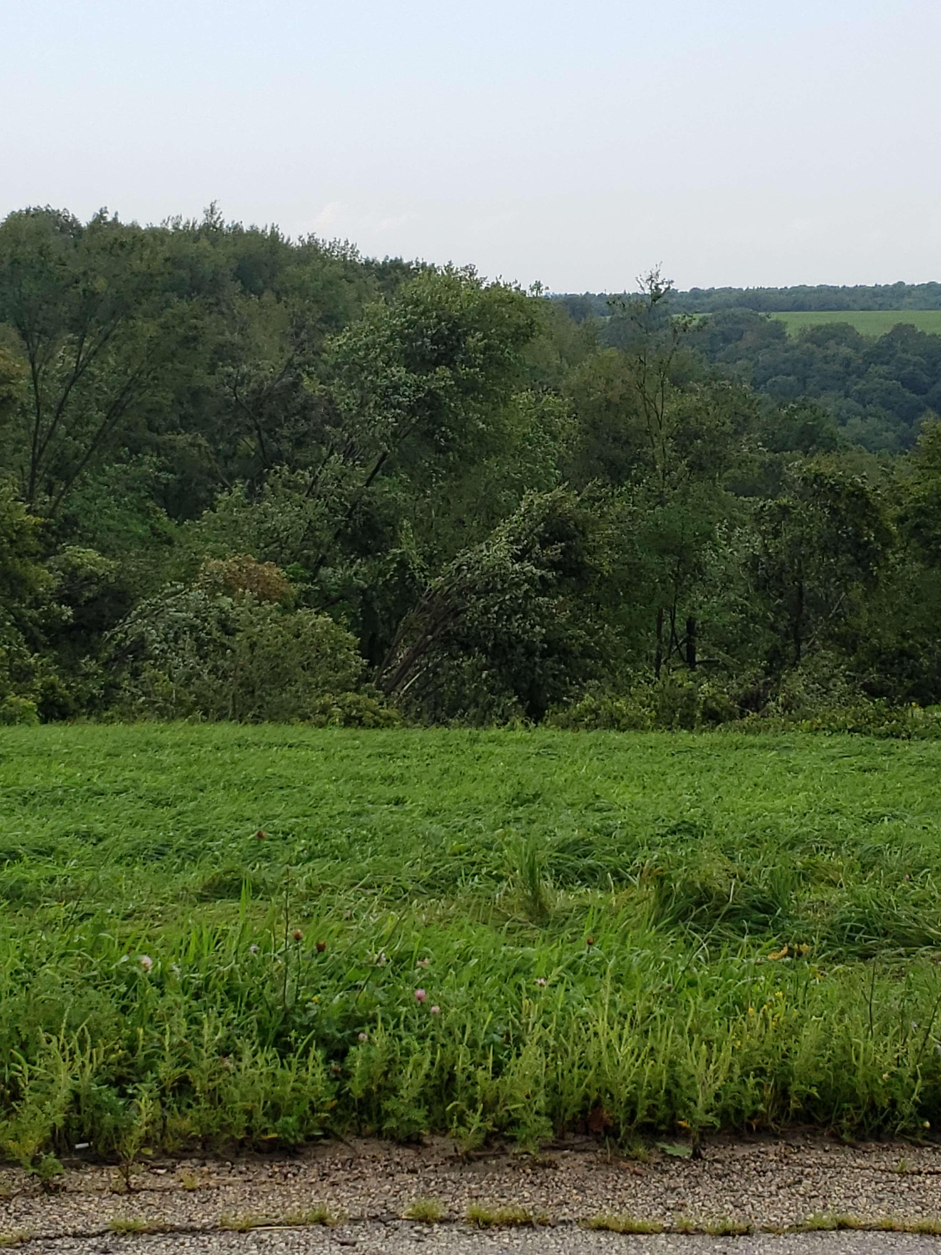
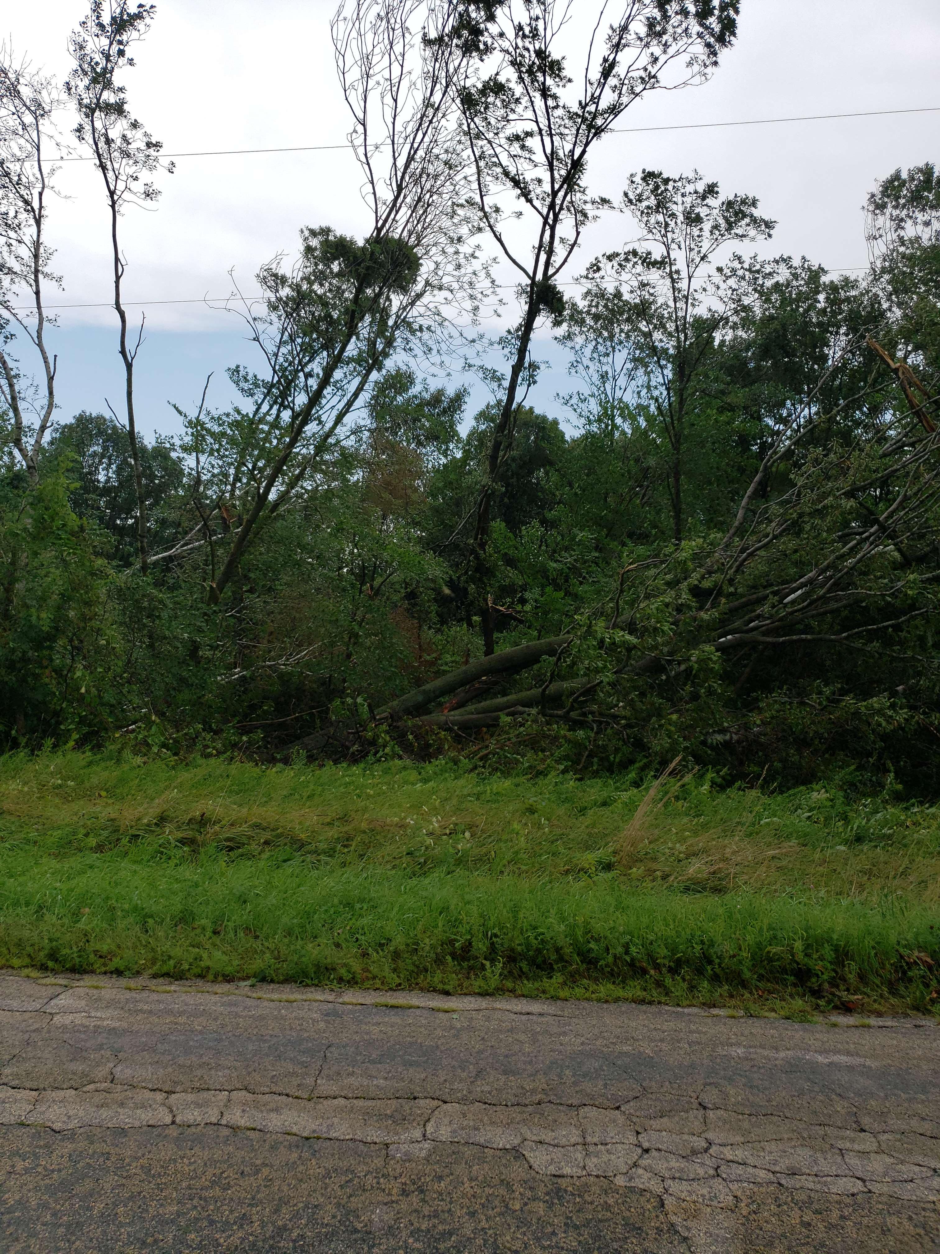
Thunderstorms developed across mainly western and central Wisconsin on Wednesday, August 11th, 2021. Some storms were severe, most notably in Monroe County, WI where two tornadoes and 1" hail occurred. One tornado (EF1) destroyed a barn and snapped stands of hardwood trees in the area. A second tornado (EF0) formed before the 1st one dissipated and damaged trees and crops slightly northeast of the original one. Damage from both tornadoes was sporadic. Terrain in the area made it a challenge to survey a consistent path. Overall, the worst damage, rated EF1, was found near the initial touchdown site.
Tornadoes:
|
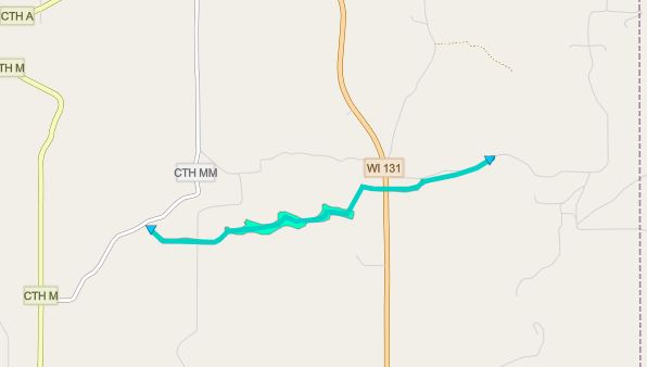
Tornado - Norwalk, WI
|
||||||||||||||||
|
Tornado - Wilton / Clifton, WI
|
||||||||||||||||
The Enhanced Fujita (EF) Scale classifies tornadoes into the following categories:
| EF0 Weak 65-85 mph |
EF1 Moderate 86-110 mph |
EF2 Significant 111-135 mph |
EF3 Severe 136-165 mph |
EF4 Extreme 166-200 mph |
EF5 Catastrophic 200+ mph |
 |
|||||
Photos:
NWS damage survey from Norwalk, WI area:
 |
 |
 |
 |
| Tornado Damage Northwest of Norwalk, WI (NWS Survey) |
Tornado Damage Northwest of Norwalk, WI (NWS Survey) |
Tornado Damage Northwest of Norwalk, WI (NWS Survey) |
Tornado Damage Northwest of Norwalk, WI (NWS Survey) |
 |
Media use of NWS Web News Stories is encouraged! Please acknowledge the NWS as the source of any news information accessed from this site. |
|


 Weather Story
 Weather Map
 Local Radar