

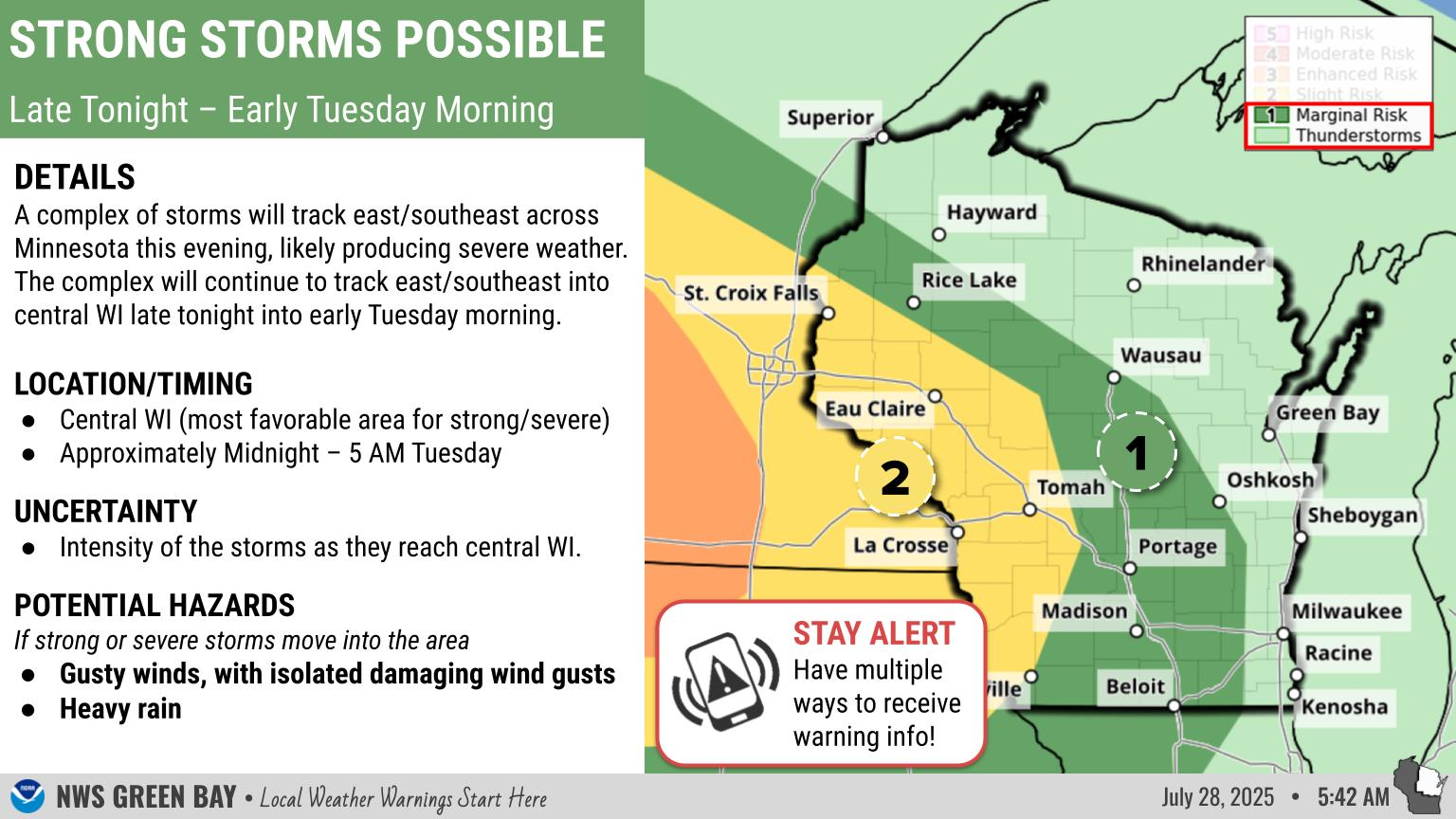
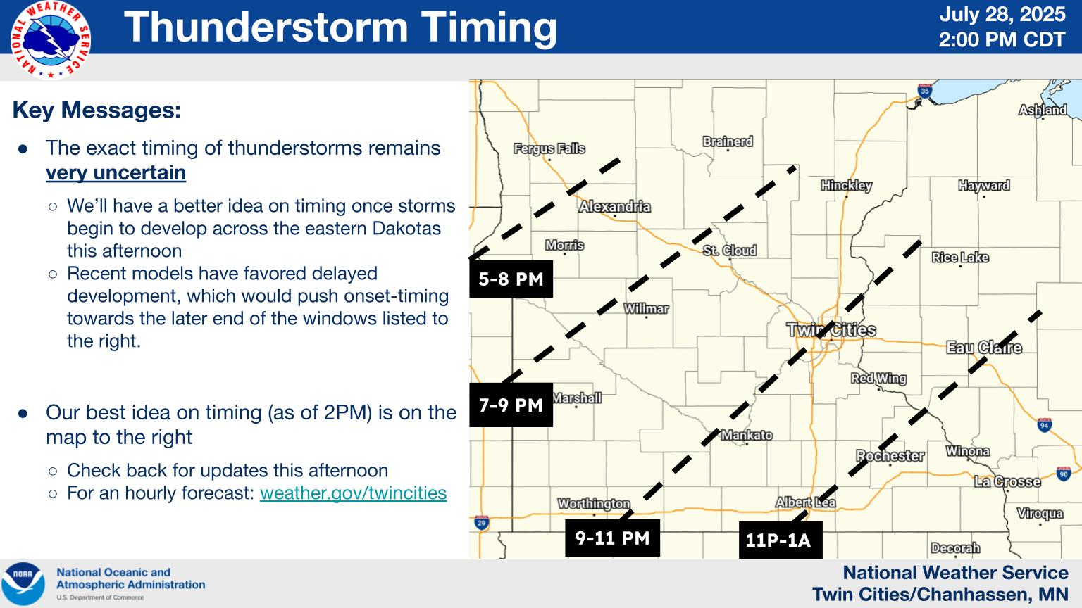
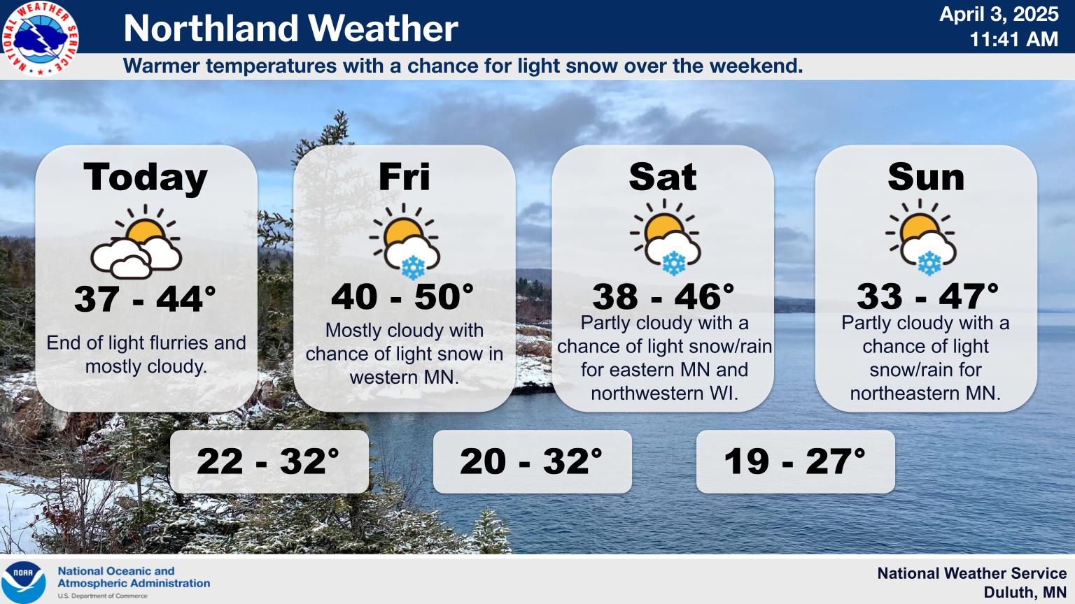
Weather Story Graphics
 |
 |
 |
| NWS Milwaukee/Sullivan | NWS Green Bay | NWS La Crosse |
 |
 |
|
| NWS Minneapolis/Chanhassen | NWS Duluth |
Decision Support page for Wisconsin Emergency Management and key NWS Partners
Current Hazards
 |
 |
| Current National Hazards (Click on map for details) |
Regional Hazards Map ** Current Watches, Warnings, and advisories for Wisconsin ** |
Thunderstorm Hazard (or Convective) Outlooks
 |
 |
 |
| Day 1 Severe Weather Outlook | Day 2 Severe Weather Outlook | Day 3 Severe Weather Outlook |
 |
 |
 |
| Day 1 Tornado Probabilities | Day 1 Large Hail Probabilities | Day 1 Thunderstorm Wind Probabilities |
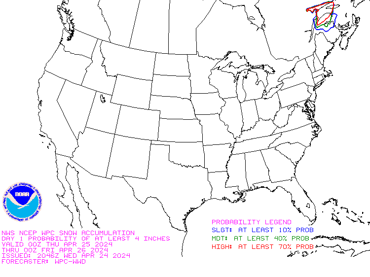
Snowfall Outlooks
 |
 |
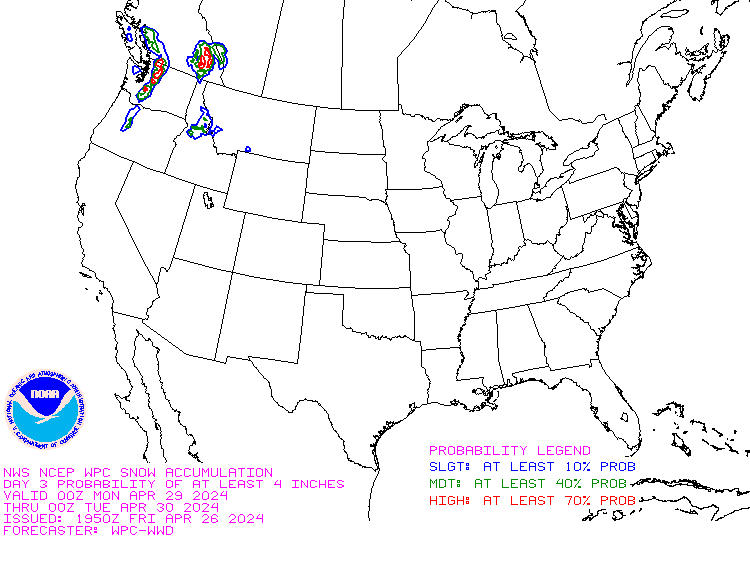 |
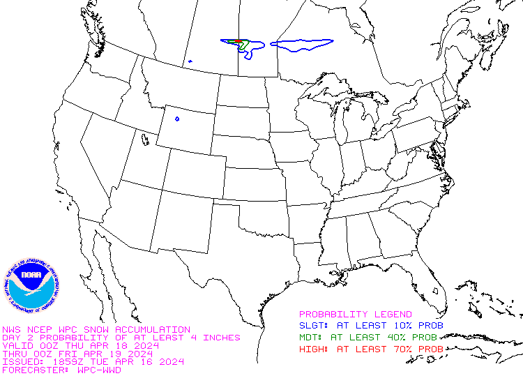
| Day 1 Probability of ≥4" | Day 2 Probability of ≥4" | Day 3 Probability of ≥4" |
 |
 |
 |
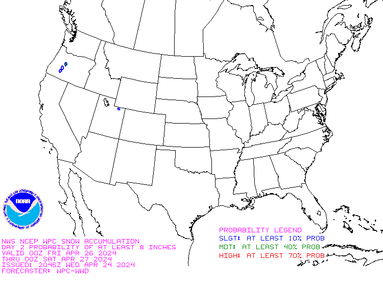
| Day 1 Probability of ≥8" | Day 2 Probability of ≥8" | Day 3 Probability of ≥8" |
 |
 |
 |
| Day 1 Probability of ≥12" | Day 2 Probability of ≥12" | Day 3 Probability of ≥12" |
Freezing Rain Outlooks
 |
 |
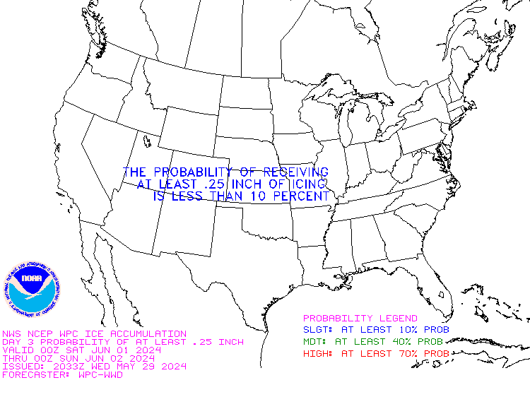 |
| Day 1 Probability of ≥1/4" ice | Day 2 Probability of ≥1/4" ice | Day 3 Probability of ≥1/4" ice |
Radar
 |
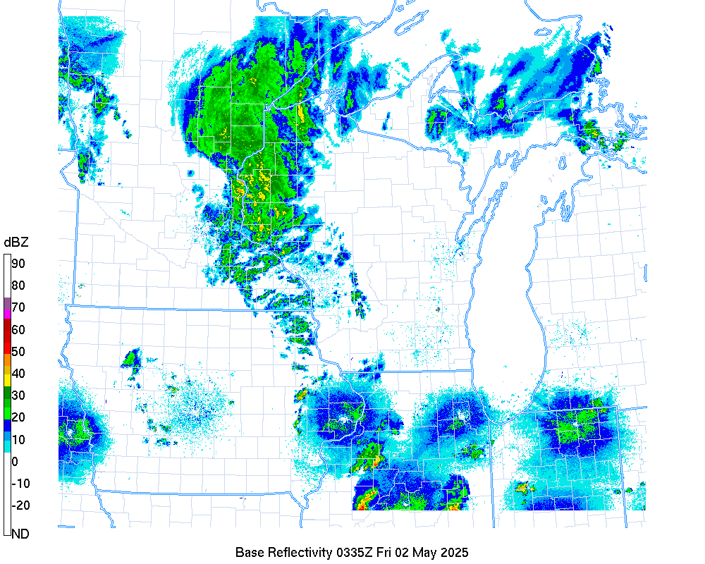 |
|
| National Radar | State radar |
 |
 |
 |
| NWS Milwaukee/Sullivan | NWS Green Bay | NWS La Crosse |
 |
 |
|
| NWS Twin Cities | NWS Duluth |
Weather Story Graphics
|
|
|
| NWS Milwaukee/Sullivan | NWS Green Bay | NWS La Crosse |
|
|
|
| NWS Minneapolis/Chanhassen | NWS Duluth |
Winter Roads
 |
 |
| Midwest Winter Roads | Wisconsin Winter Roads |
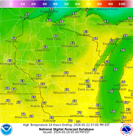
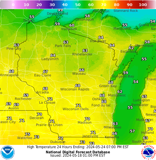
Forecast Highs
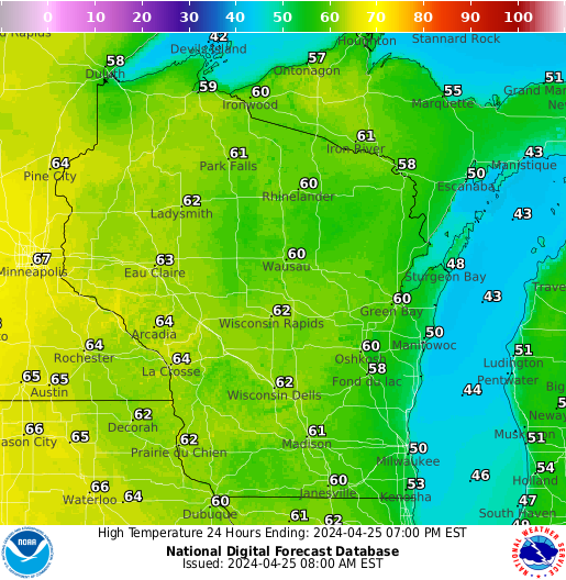 |
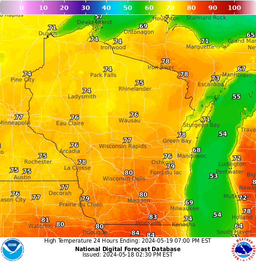 |
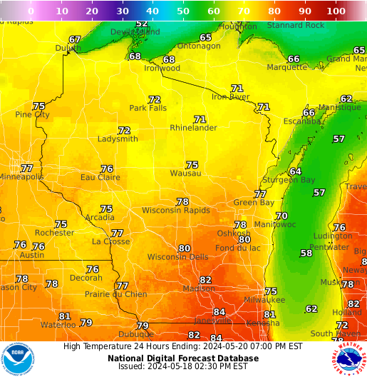 |
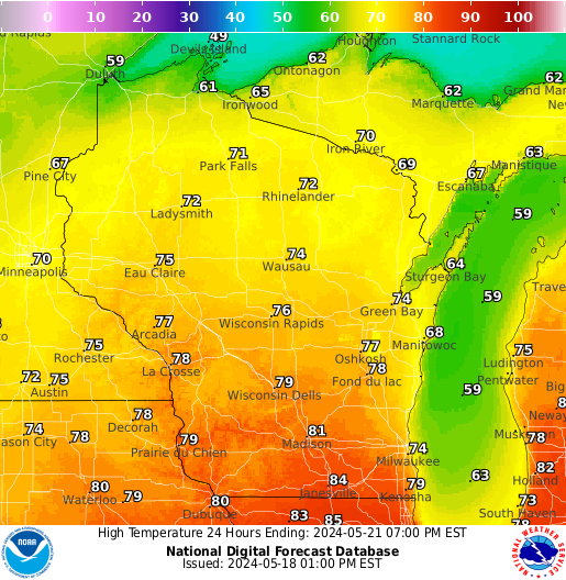 |
| Highs Day 1 | Highs Day 2 | Highs Day 3 | Highs Day 4 |
 |
 |
 |
| Highs Day 5 | Highs Day 6 | Highs Day 7 |
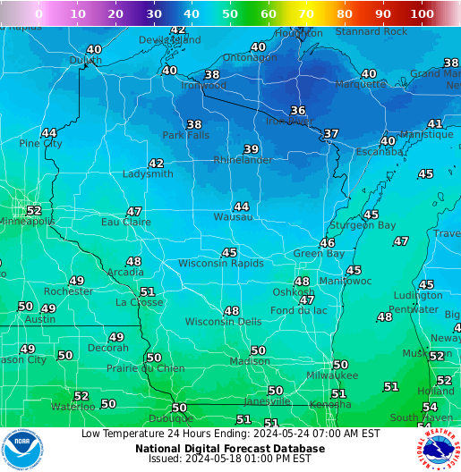
Forecast Lows
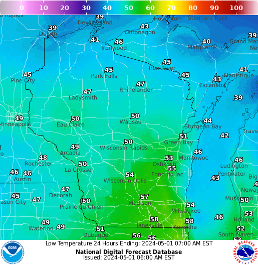 |
 |
 |
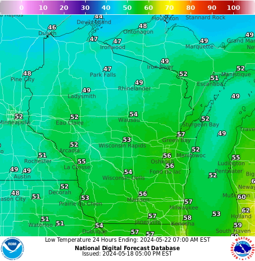 |
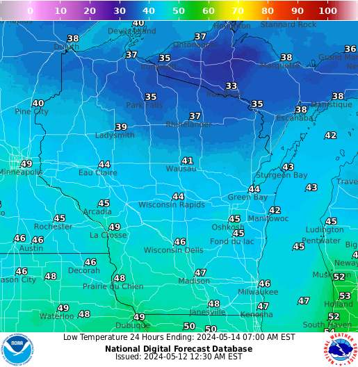
| Lows Day 1 | Lows Day 2 | Lows Day 3 | Lows Day 4 |
 |
 |
 |
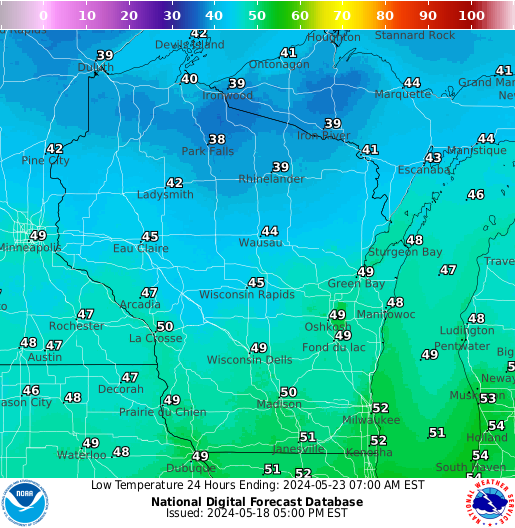
| Lows Day 5 | Lows Day 6 | Lows Day 7 |
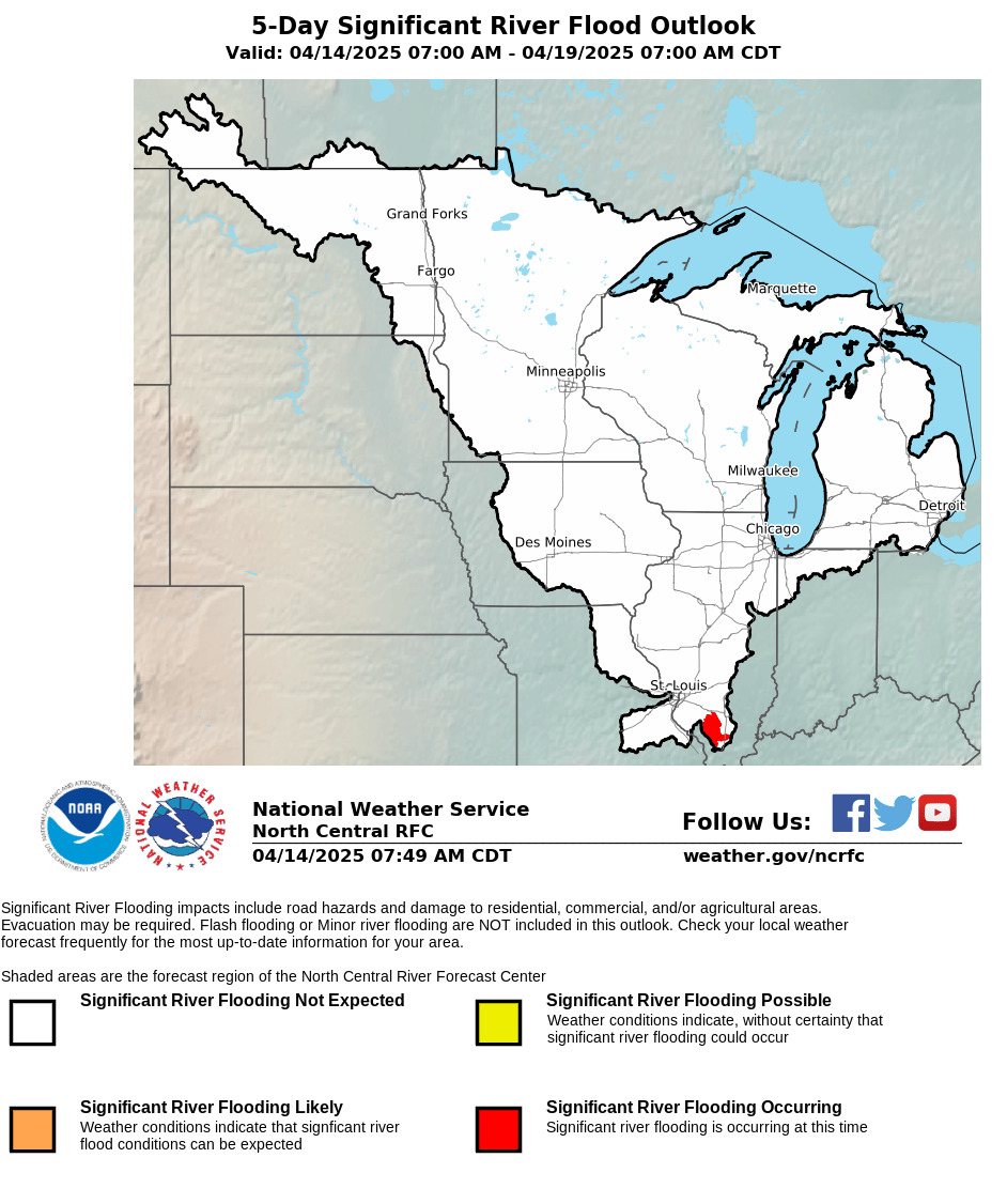
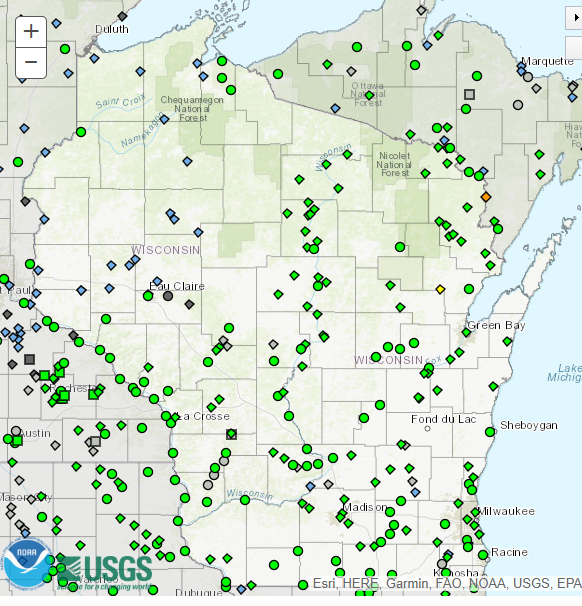
River Information
 |
 |
 |
| Significant River Flood Outlook |
Current River Gages | Wisconsin Flooding Monitor |
Space Weather Information
 |
 |
 |
| Aurora - 30 Minute Forecast | Space Weather Overview | Space Dashboard |
 |
|
| Geospace Ground Magnetic Perturbation Map |
Aviation Links
 |
 |
 |
| Latest METAR Map | Turbulence (Pilot Reports) |
Icing (Pilot Reports) |
Fire Weather Graphics
 |
 |
 |
| Minimum RH Today | High Temp Today | 24-Hr Precipitation |
 |
 |
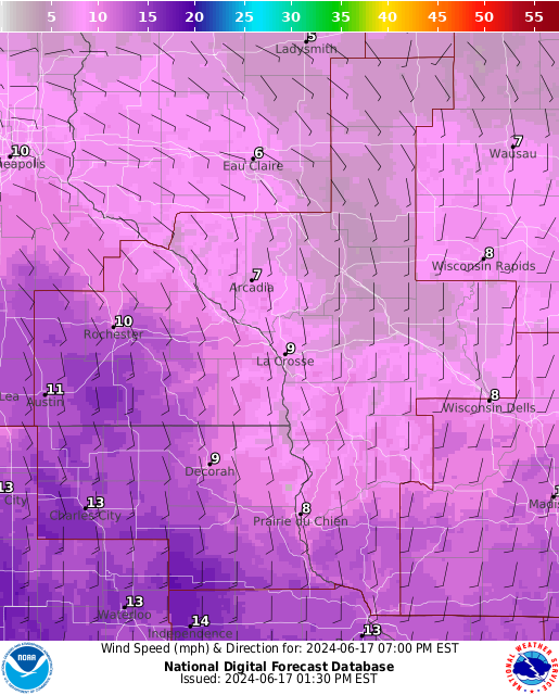 |
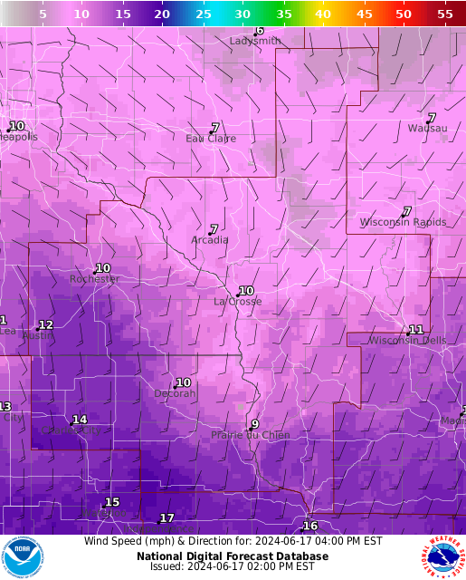
| Sustained Winds Today | Sustained Winds Today | Sustained Winds Today |
 |
 |
 |
| Minimum RH Tomorrow | High Temp Tomorrow | Total Precipitation |
 |
||
| 72-Hour Maximum Wind Gusts |
Additional Forecasts & Data
 |
 |
| Forecast Weather Maps (next 48 hrs) | Forecast Radar (next 15 hrs) (NOTE: This is model data and may not reflect current forecast) |
 |
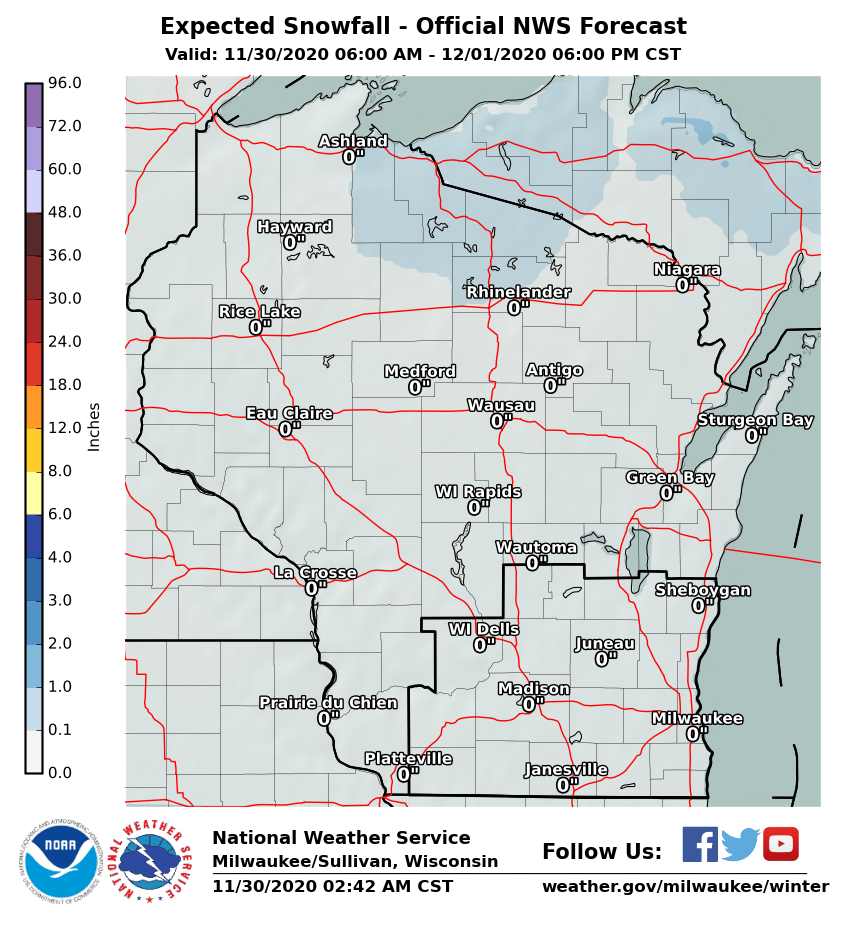 |
| Forecast Precipitation (next 24 hrs) | Forecast Snowfall (next 24 hrs) |
 |
 |
 |
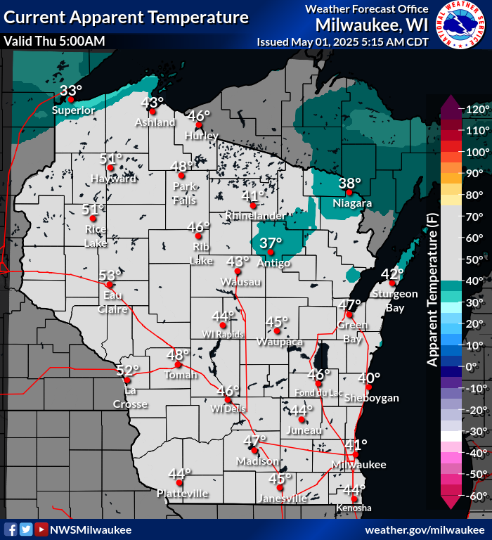 |
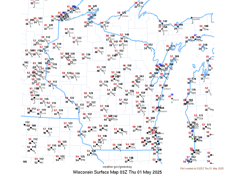
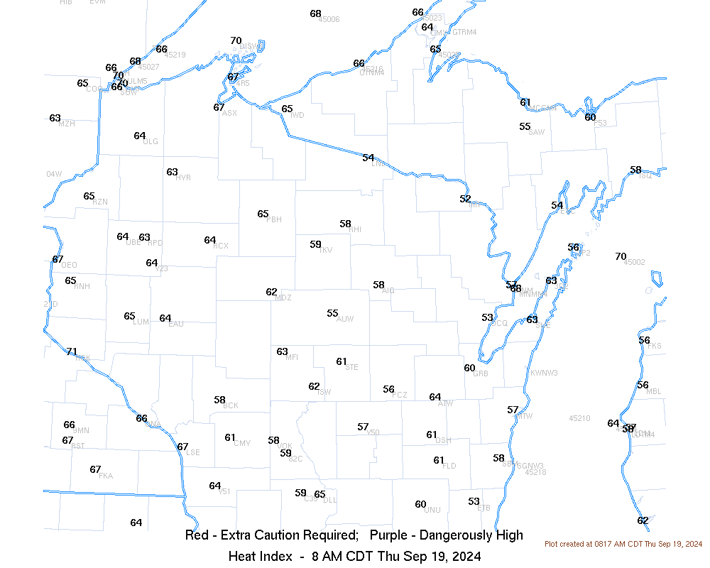
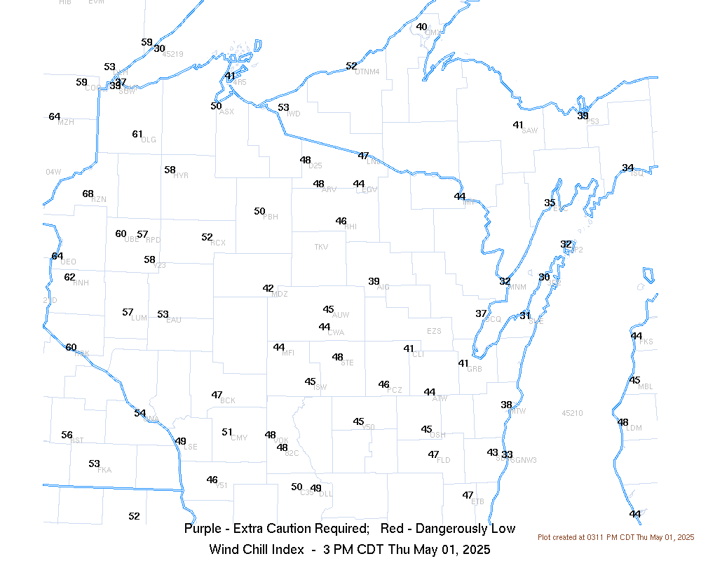
| Latest Wisconsin Surface Map | Latest Wisconsin Heat Index Values | Latest Wisconsin Wind Chill Index Values | Latest Apparent Temperatures (based on wind) |
 |
 |
| 6-10 Day Temperature Forecast | 6-10 Day Precipitation Forecast |
Past Weather
 |
 |
 |
|
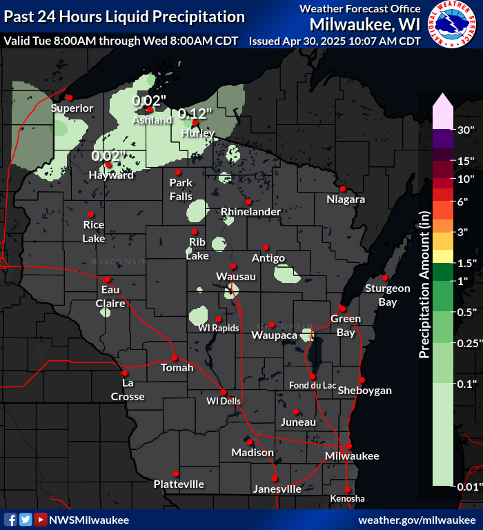
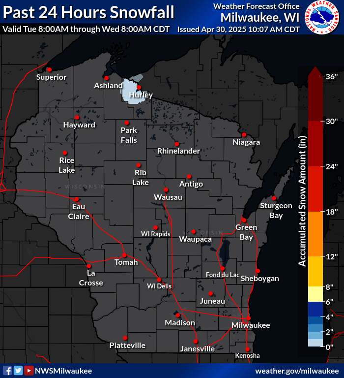
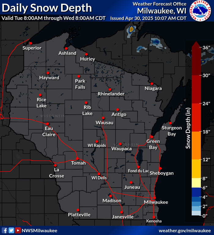
| Rainfall Totals (past 24 hrs) | Snowfall Totals (past 24 hrs) | Snow Depth | |
 |
 |
 |
 |
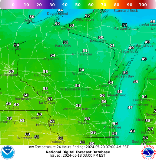
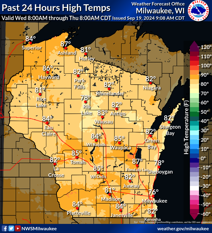
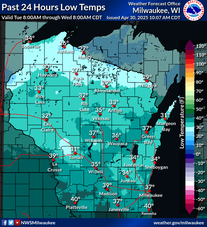
| High Temperatures (past 24 hrs) | Low Temperatures (past 24 hrs) | Regional 24-hr Rainfall | Regional 7-day Rainfall |
 |
 |
| Storm Reports Today | Storm Reports Yesterday |
 |
Contact your local NWS office for additional details | |
 Weather Story
 Weather Map
 Local Radar