La Crosse, WI
Weather Forecast Office
In April of 1997, NWS La Crosse personnel took a tour of the Mississippi River in our office's area of responsiblity. Here's a look at some of the things they saw.
We apologize for the yellow lines that show up in most pictures...a faulty scanner used to scan the pictures was the cause.
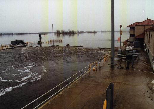 Lock and Dam #4 in Alma, WI. The stage height is at 16.3 feet. |
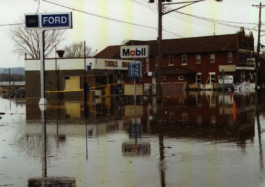 Fountain City, WI...the stage height is at 14.3 feet. |
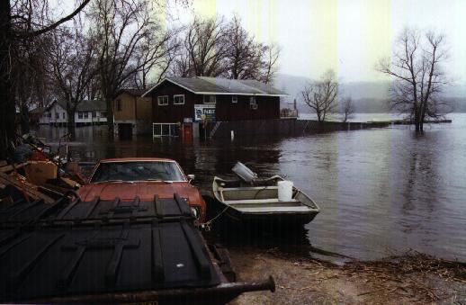 In Trempeleau WI at a stage of 14.5 feet. |
|
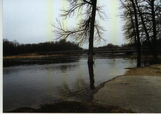 The Black River at the Highway 35 crossing. The Galesville stage is at 12.7 feet. |
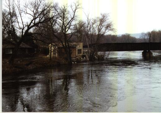 Leidel's Landing along the Black River. Galesville stage is at 12.7 feet. |
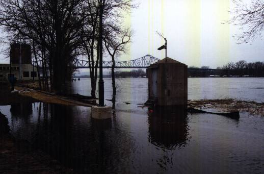 La Crosse river gage at 14.4 feet. |
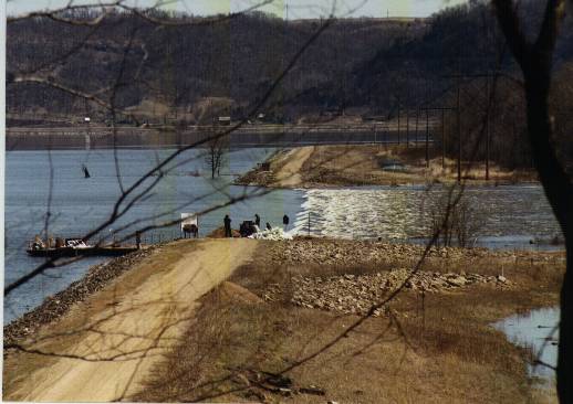 Lock and Dam #8 spillway near Reno. Brownsville stage is at 35.1 feet. |
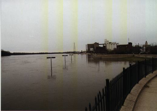 Winona Riverfront at 17.4 foot stage. |
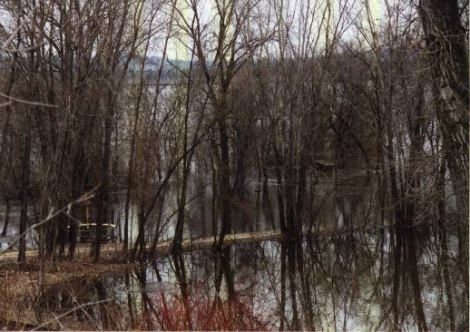 Roadside park, highway 61 south of Winona. Winona stage at 17.4 feet. |
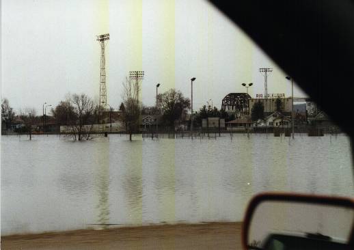 Highway 60 in Wabasha, looking out the car at Midtown Park. |
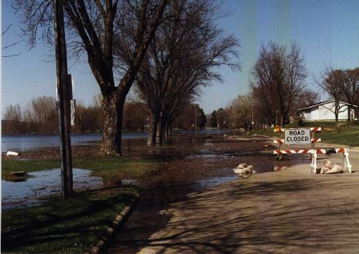 Street near Riverfront Park in Prairie Du Chien. McGregor stage is at 17.9 feet. |
Additional Information
Storm Summaries
Cooperative Observers
Educational Resources
Science / Research
Weather Phenomenon
Mayfly Tracking
Latest
Temp/Pcpn Summary
Precipitation Reports
Forecast Discussion
Hazardous Weather Outlook
Hourly Weather
Public Information Statement
Local Storm Report
Lightning Plot Archive
River Stages
Water Temp
Observations
Precipitation Plotter
Soil Temps

US Dept of Commerce
National Oceanic and Atmospheric Administration
National Weather Service
La Crosse, WI
711 County Road FA
La Crosse, WI 54601
608-784-7294
Comments? Questions? Please Contact Us.


 Weather Story
 Weather Map
 Local Radar
 Follow us on X
 Follow us on Facebook
 Follow us on YouTube
 ARX RSS Feed