Event Summary:
A potent early Spring storm system triggered numerous small thunderstorms on March 30, 2005, including a few brief tornadoes from east of Mason City, IA through Mitchell County, Iowa to near the Minnesota-Iowa state line. This area was near the center of low pressure and nearby cold/warm fronts that served as a 'triple point' to focus severe weather development. Even though the storms were relatively small and weak, the ingredients were there to spawn brief tornadoes.
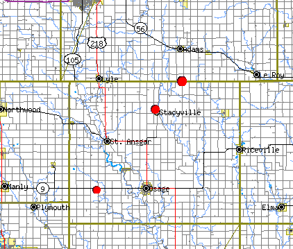
Known touchdowns included...
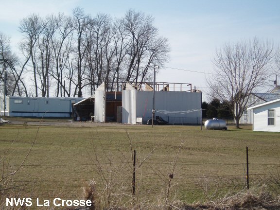
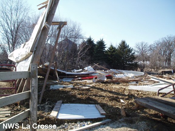
All damage was rated F0 on the Fujita Damage Scale. Damage was mainly to garages, a pole barn, and other misc. older outbuildings.
Wind damage also occurred in southeast Minnesota, east and northeast of Rochester, MN from wind speeds of 60-70 mph.
Map of Tornado Touchdowns
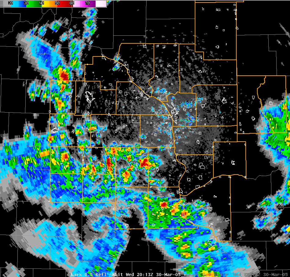
Radar image - 2:13 p.m. March 30, 2005
Damage Photos:
 |
 |
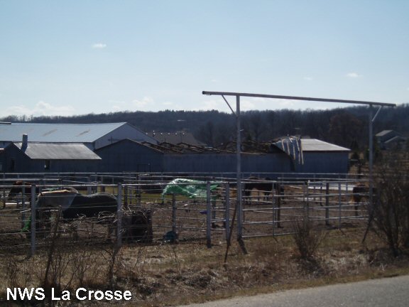 |
| Damage to garage west of Osage, IA. | Pole barn destroyed on northwest side of Stacyville, IA. | Wind damage to horse stable near Chester, MN. |
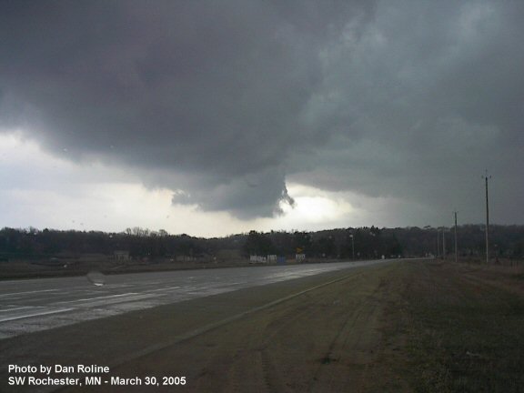
Storm Photo:
