
An outbreak of severe thunderstorms is expected across portions of Illinois and Indiana tonight. Intense tornadoes, swaths of damaging gusts, and hail in excess of 2 inches in diameter possible. Tropical Storm Arthur will continue to produce strong winds across coastal Upper Texas and Louisiana tonight, as well as potentially life-threatening flooding across southern Louisiana into Mississippi. Read More >
Bismarck, ND
Weather Forecast Office
WHAT
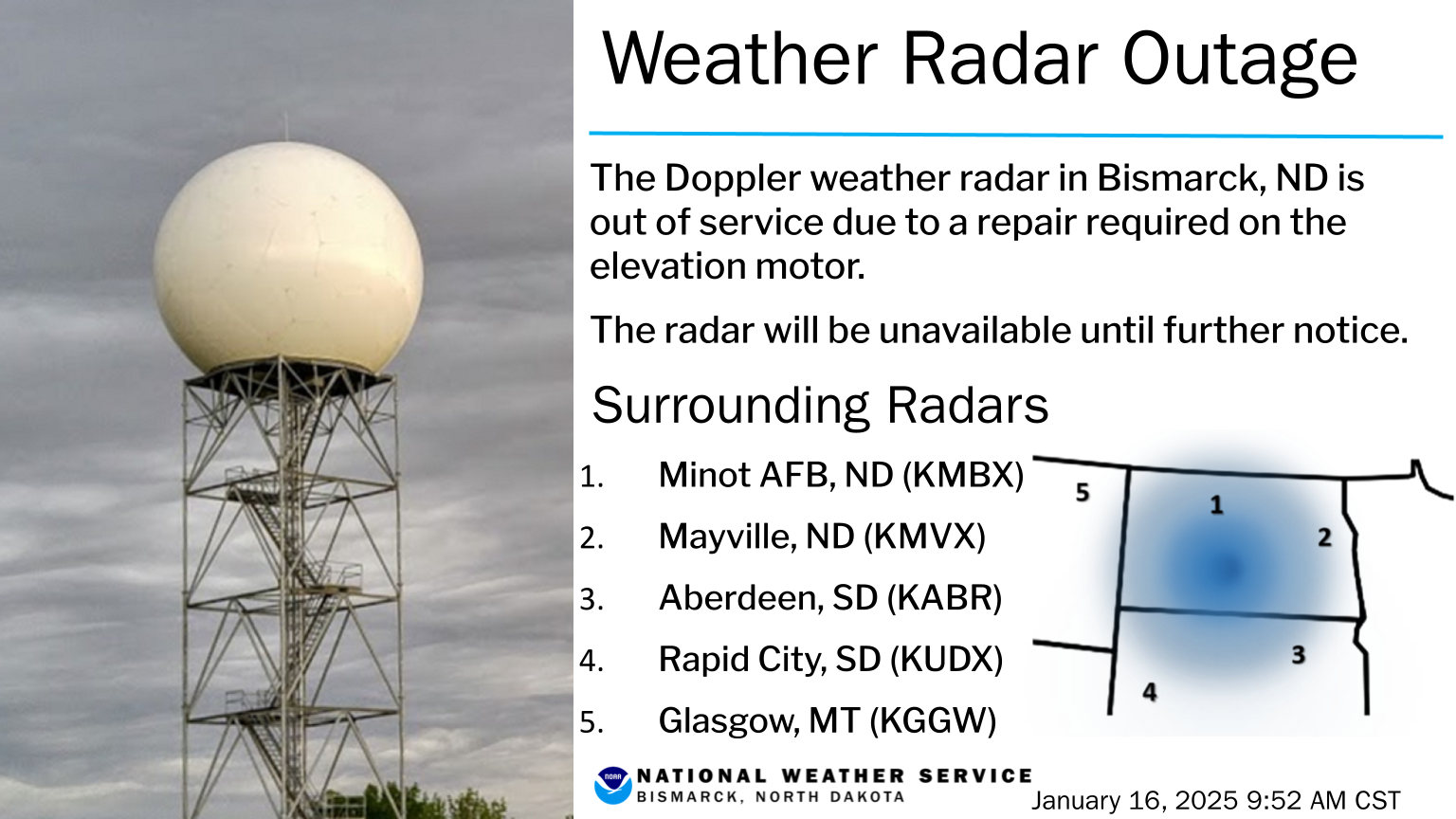
The National Weather Service Bismarck Weather Radar (WSR-88D) experienced an issue with its elevation motor. This requires an extensive repair with new parts and help from a specialized team.
TIMELINE
This radar will likely be down until further notice. However, it is likely to return to service between Wednesday January 22nd through Friday January 24th. Check back here for updates.
Additional Resources
During the outage you can monitor adjacent radars including: KMBX near Minot, ND, KMVX near Mayville, ND, KABR at Aberdeen, SD, KUDX near Rapid City, SD, and KGGW at Glasgow, MT. For direct access to any of these surrounding radars, go to: https://radar.weather.gov.
CONTACT
The National Weather Service in Bismarck can be found online at: www.weather.gov/bis and on social media at: www.facebook.com/NWSBismarck and www.twitter.com/NWSBismarck.
Or contact us any time at: 701-250-4224
US Dept of Commerce
National Oceanic and Atmospheric Administration
National Weather Service
Bismarck, ND
2301 University Drive, Building 27
Bismarck, ND 58504
701-250-4224
Comments? Questions? Please Contact Us.

