National Weather Service United States Department of Commerce

Tracking Weekend Storm Impacts

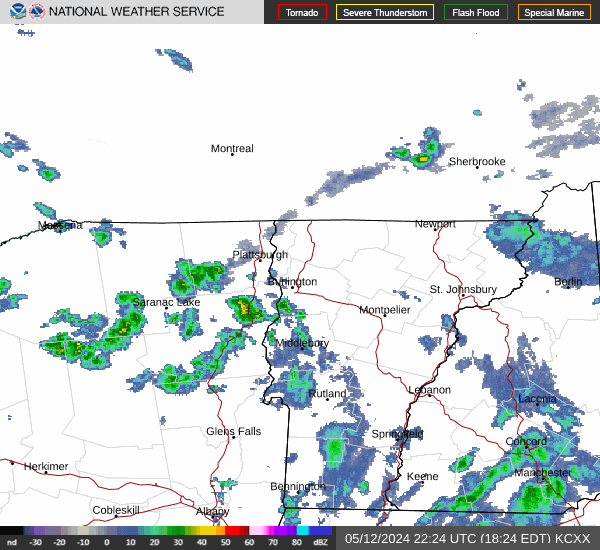
A storm and trailing cold front will continue to slowly move through the Gulf Coast and Southeast U.S. through this weekend with widespread rain showers and isolated thunderstorms. A fast-moving clipper storm may bring several inches of snow to the north-central Plains, Midwest, eastern Great Lakes, and Northeast regions this weekend. Read More >


Current Conditions as of 11:00 PM EST Fri Dec 05 2025
Location Air Temp
(°F)
Wind
(kts)
Water Temp
(°F)
Wave Height
(ft)
Colchester ReefN/AN/AN/AN/A
Diamond Island18S11G13N/AN/A
Burton IslandN/AN/AN/AN/A
Note: Marine observations listed above are largely maintained outside of the control of NOAA/NWS, and thus, may be old or missing at times. Data is maintained by the SUNY Plattsburgh Lake Champlain Research Institute.

 
Click Map to Select Another Point Forecast


About This Forecast
Point
Forecast:
Last Update:
Forecast Valid: 6PM EST Fri Dec 05, 2025 to
6PM EST Wed Dec 10, 2025


Radar & Satellite Images


Graphical Forecast