
Dangerous and extreme heat will remain across portions of the central U.S. this week, persisting across the mid to lower Mississippi Valley, Gulf Coast, southern Plains and portions of Texas. A heat wave over the Southwest U.S. will peak this weekend. Heavy to excessive rainfall may produce flash flooding from the Delmarva Peninsula north into the Hudson Valley today and tonight. Read More >
National Weather Service Forecast Office Buffalo, NY
WEATHER DASHBOARD MOBILE SITE
METARS & TAFS
Search for Latest METAR and/or TAF text: Enter 4-letter ICAO station identifier. If more than one, be sure to insert one or more spaces between stations. (Example: KDEN KCOS @WY). A list of weather stations is found in this file, stations.txt.
CURRENT WEATHER
Watches/Warnings (Click for more info)
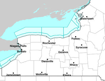
Northeast Surface Observation Map

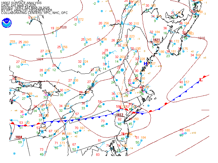
Latest Surface Analysis
Mesoscale Discussion

Severe Weather Watches

SATELLITE
*Static Satellite imagery unavailable after January 3rd, 2018. Most recent imagery here:
https://www.star.nesdis.noaa.gov/GOES/GOES16_CONUS.php
RADARS
Buffalo Radar

Montague Radar

Binghamton Radar

State College Radar

Cleveland Radar

NE Regional Radar Loop

U.S. Radar

SEVERE WEATHER
Day 1 Outlook

Day 1 Tornado

Day 1 Wind

Day 1 Hail

Today's Storm Reports

Day 2 Outlook

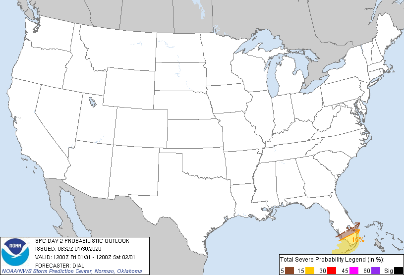
Day 2 Probability
Day 3 Outlook

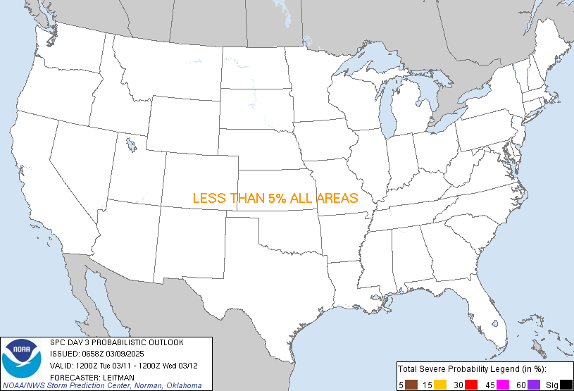
Day 3 Probability
Day 4-8 Outlook

Day 3-7 Hazards

Day 8-14 Hazards

HYDROLOGY
Day 1 QPF

Day 2 QPF

Day 3 QPF

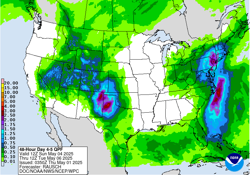
Day 4-5 QPF
Excessive Rainfall Outlook

WINTER
BUF Storm Total Snowfall Forecast

WPC Day 1 Snow Probability (4 inches)

WPC Day 2 Snow Probability (4 inches)

WPC Day 3 Snow Probability (4 inches)

WPC Day 1 Freezing Rain Probability (0.25 inch)

WPC Day 2 Freezing Rain Probability (0.25 inch)

WPC Day 3 Freezing Rain Probability (0.25 inch)

CLIMATE
6-10 Day Temp Outlook

6-10 Day Precip Outlook

3 Month Temp Outlook

3 Month Precip Outlook

MARINE FORECASTS


