Dangerous heat will remain across portions of the southern U.S. through the weekend. A heat wave over the Southwest will intensify this week, peaking and expanding into the Intermountain West and northern High Plains this weekend. Severe thunderstorms will produce damaging winds and heavy rainfall over portions of the northern/central Plains into the mid/upper-Mississippi Valleys today. Read More >
Overview
|
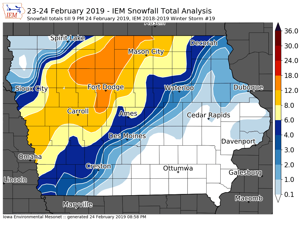
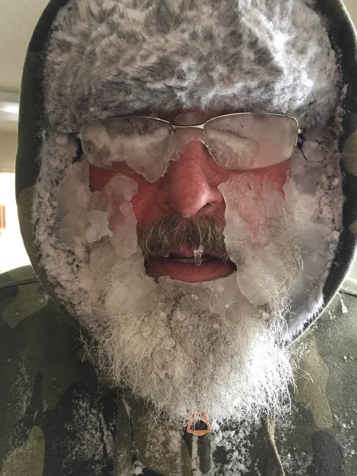
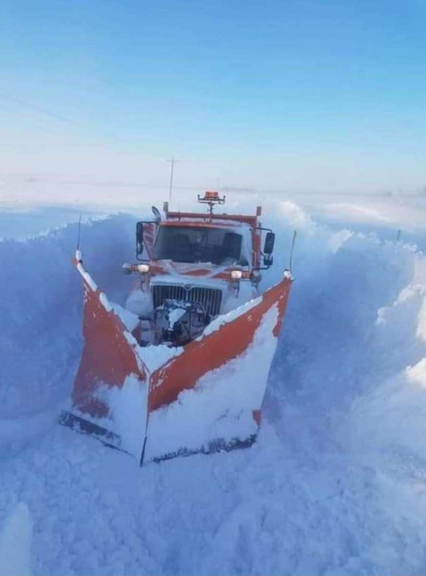
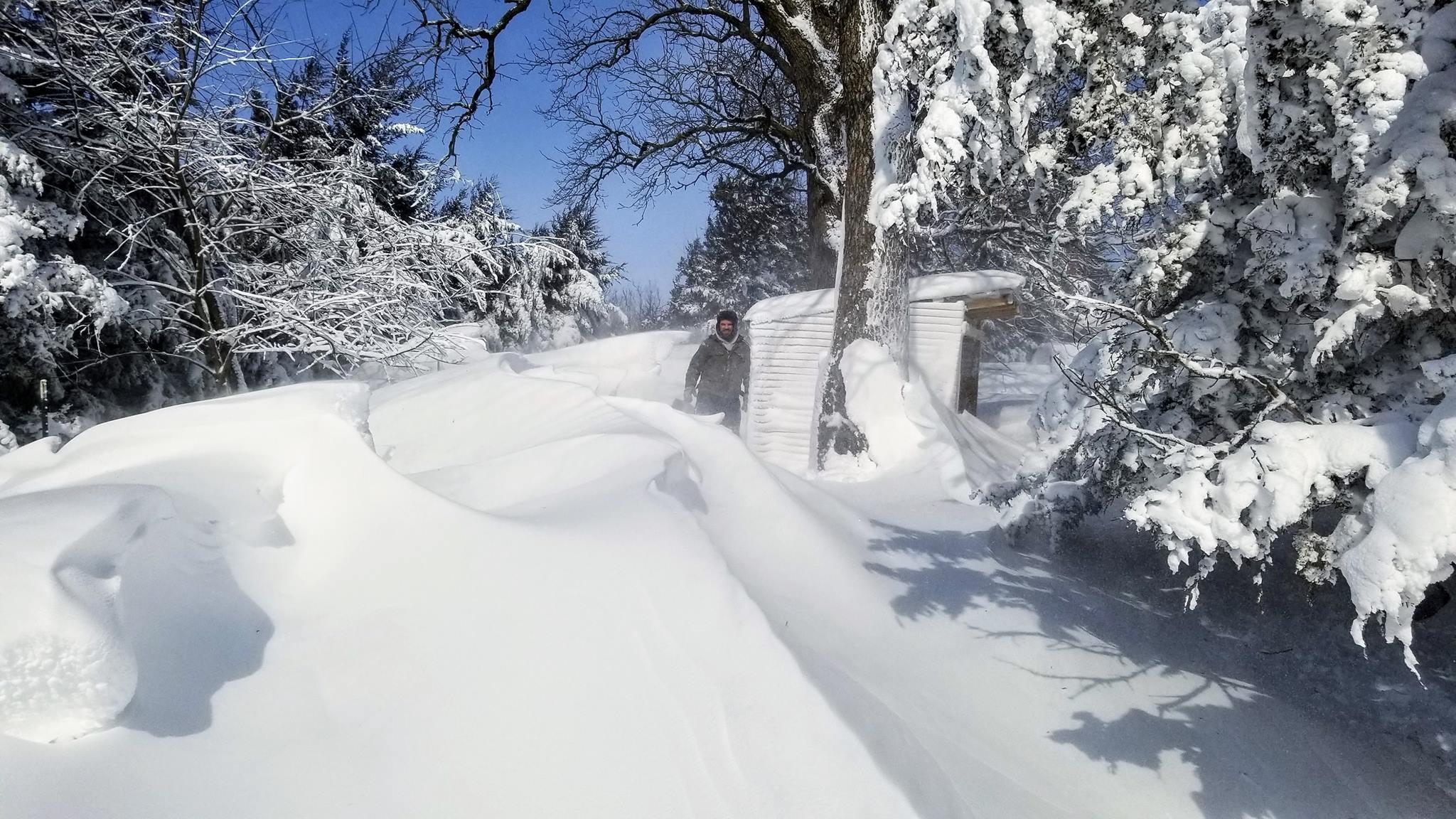
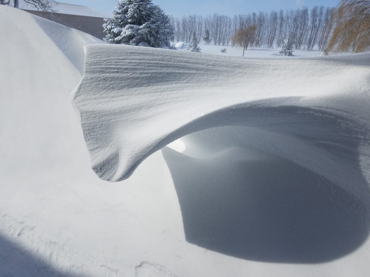
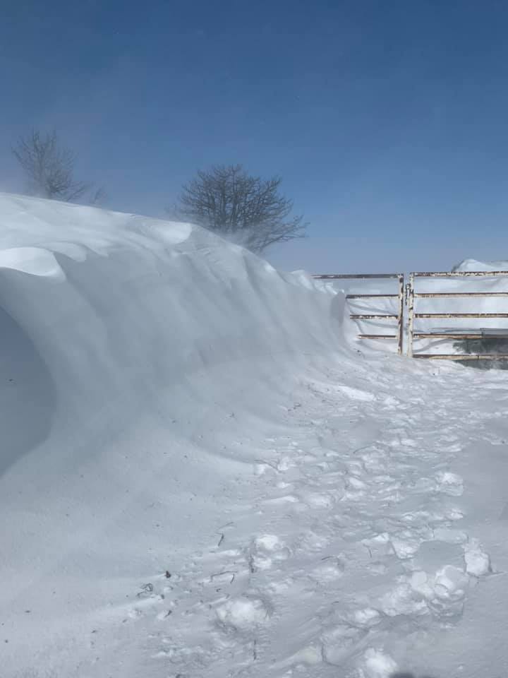
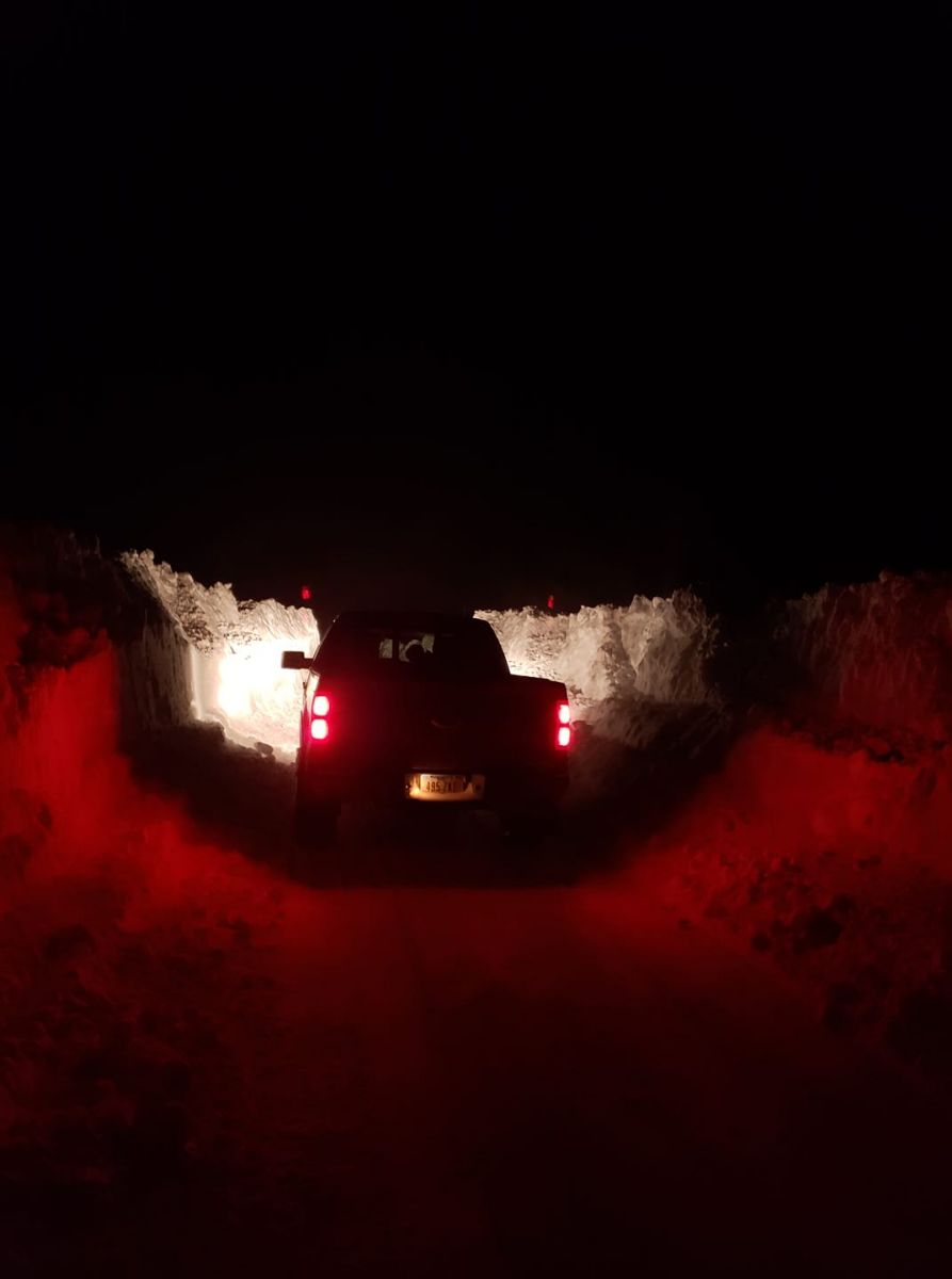
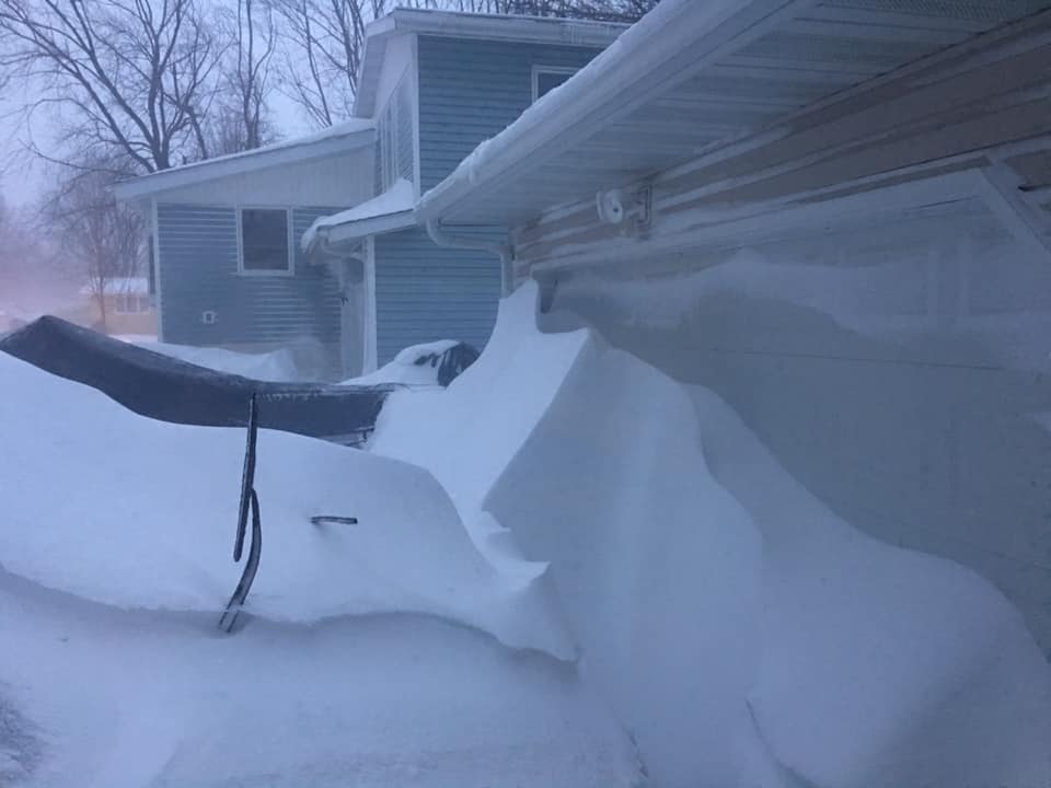
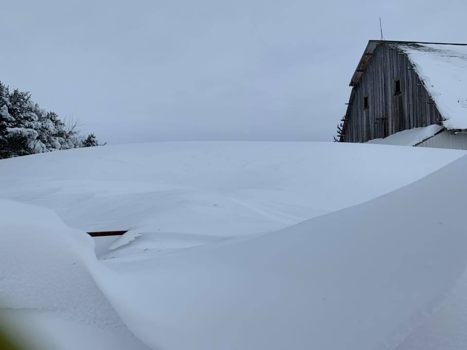
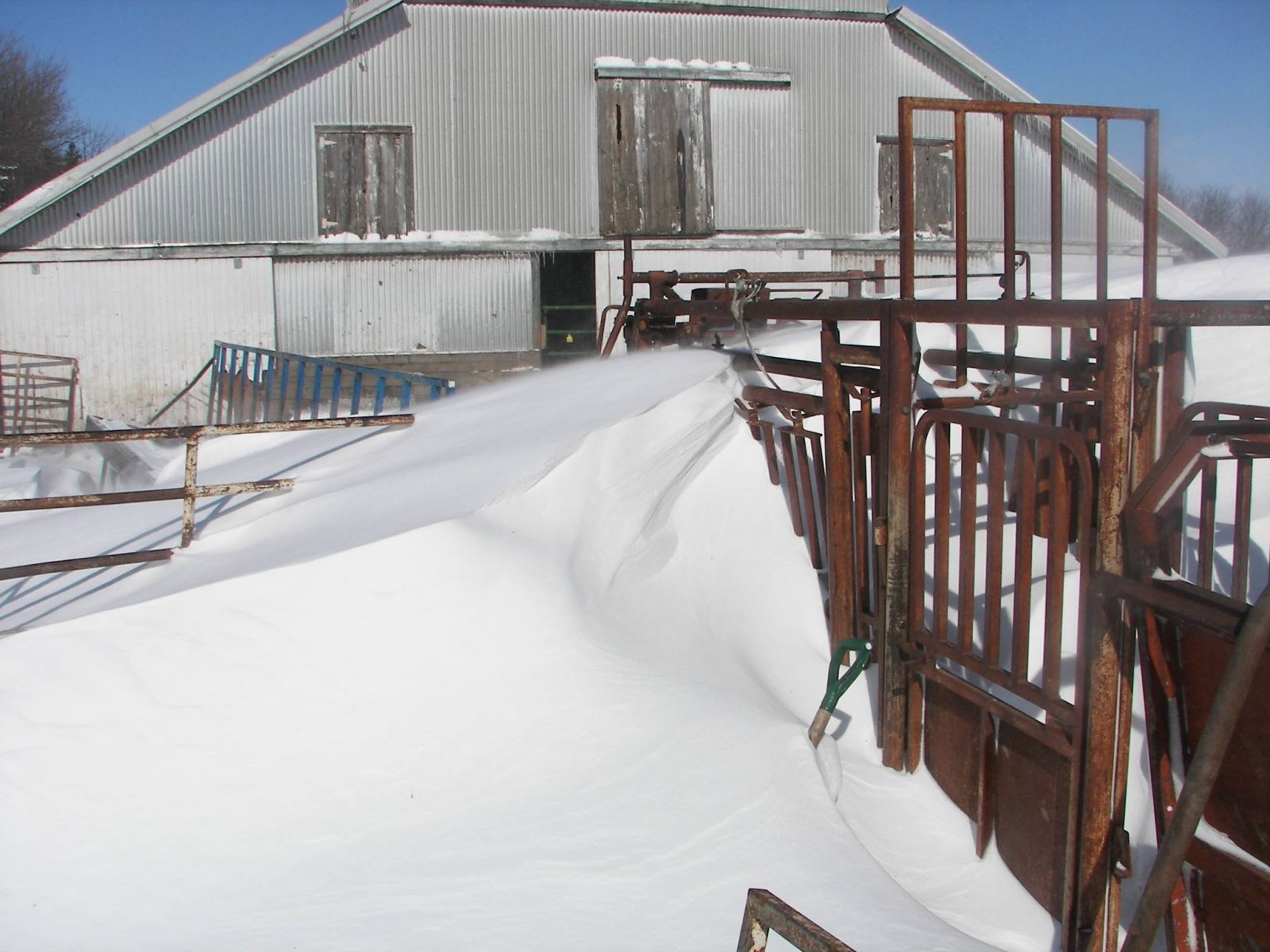
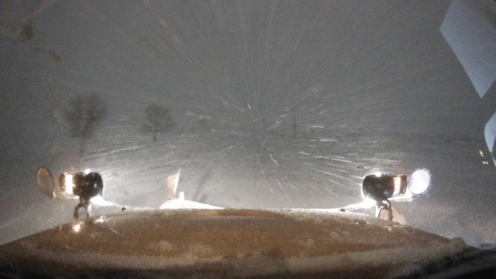
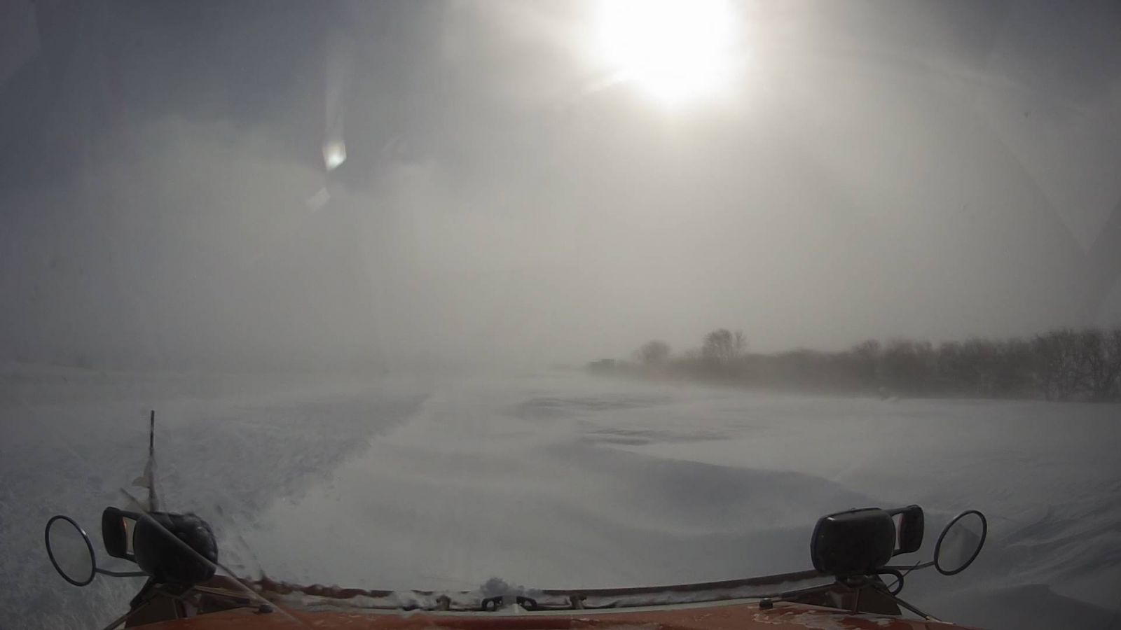
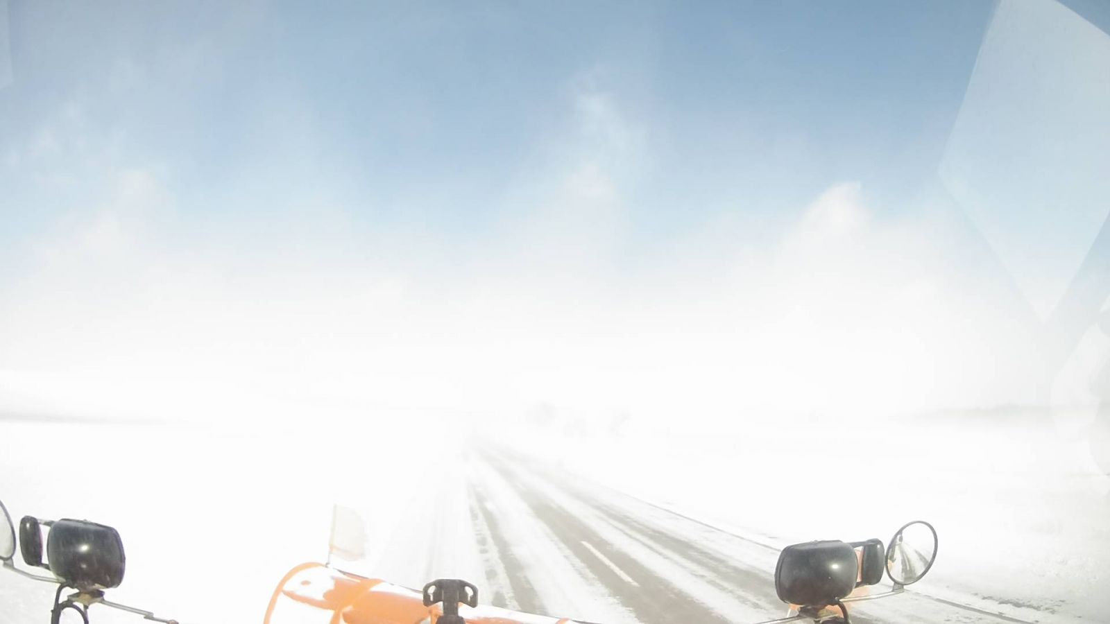
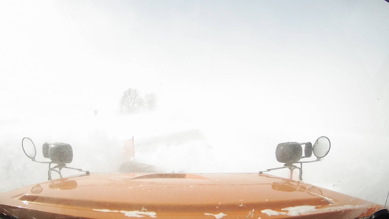
A strong surface low pressure system and upper level trough ejected out of the Southern Rockies and transitioned east-northeast across the Central and Southern Plains from February 22 to 24, 2019. This system caused widespread wintry precipitation over the central CONUS, especially over central and southern parts of Iowa on February 23rd. Snow developed across western to northern Iowa on the evening of the 23rd and continued into the overnight hours towards the morning of the 24th. Widespread snowfall amounts of 5 to 15 inches fell across the northwest half of Iowa before ending by the afternoon of the 24th. In addition to the falling snow, very strong northwest winds of 30 to 45 mph caused widespread blizzard conditions from the late evening of the 23rd through much of the 24th. The snow pack prior to the storm was already a foot to nearly two feet over portions of western and northern Iowa, resulting the additional snow to mainly accumulate in drifts. |
|
 |
 |
 |
|
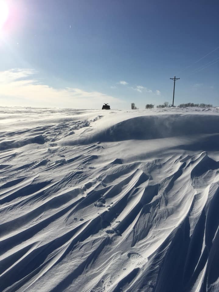
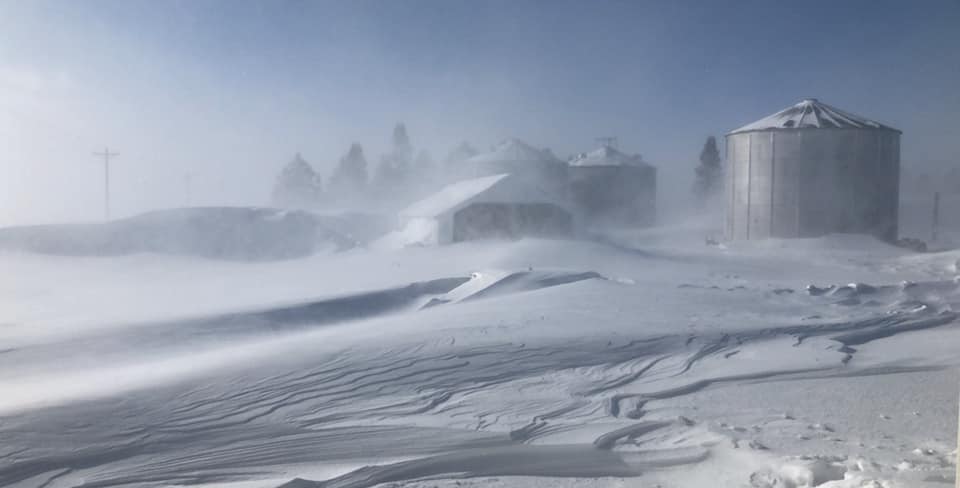
Photo by Kimberly Mae Albrecht - Callender, Iowa |
Accumulated Snowfall Analysis |
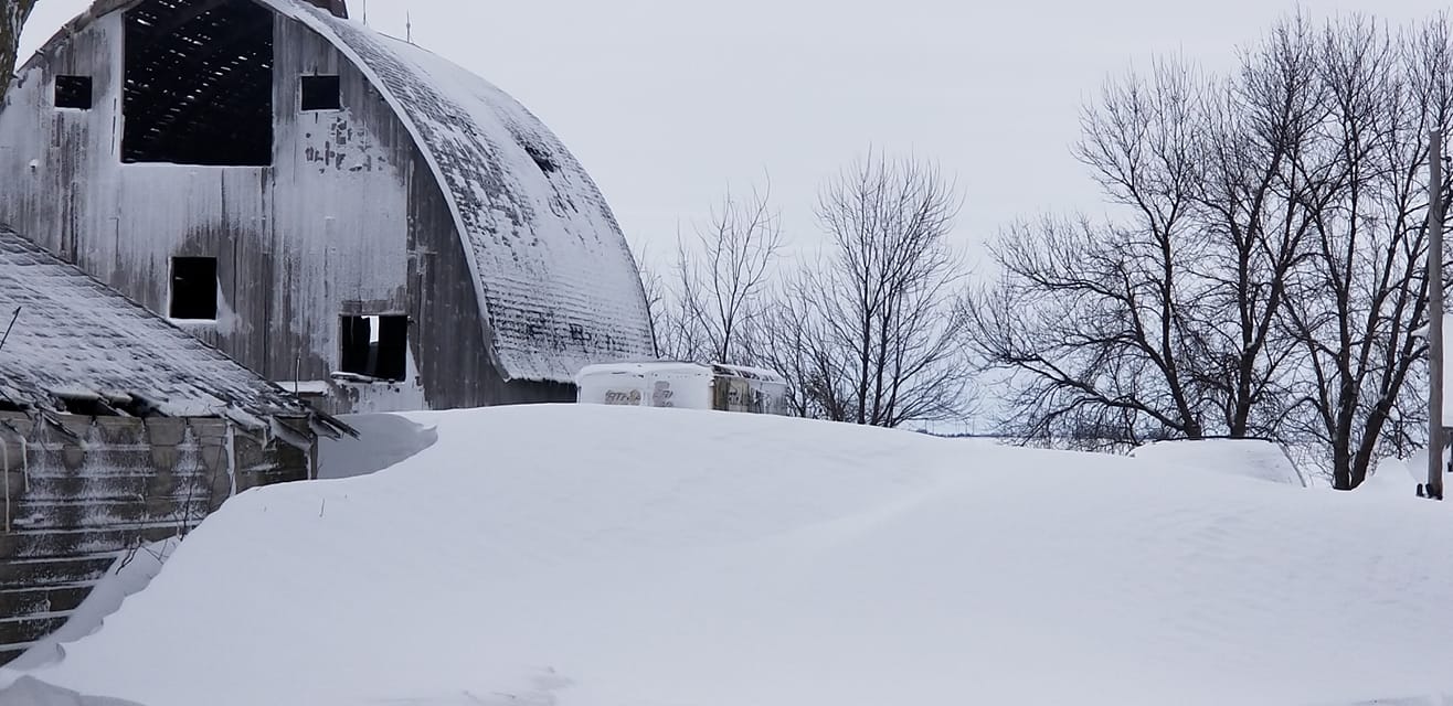
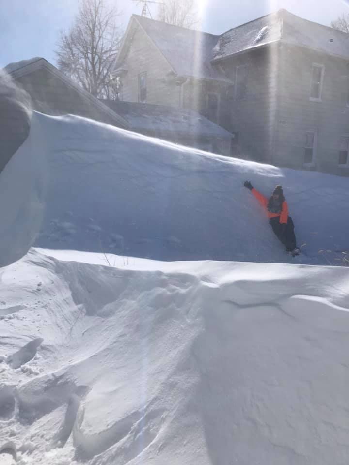
Photo by Courtney Bartz - Carpenter, Iowa |
Blizzard Overview:
 |
 |
 |
|
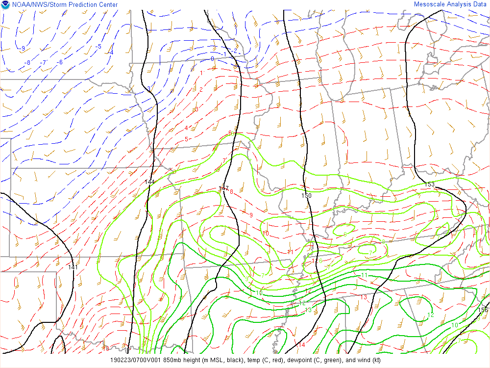
850 mb loop February 23-24, 2019 |
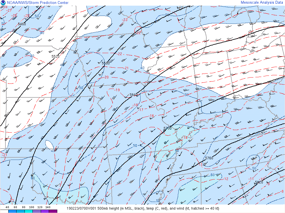
500 mb loop February 23-24, 2019 |
Surface analysis loop (3-hour increments) from Saturday night to early Monday morning. |
http://cimss.ssec.wisc.edu/goes/blog/archives/32002
Photos:
We were fortunate to receive over 600 photos and multiple videos from our partners like the Iowa DOT, Emergency Managers, and storm spotters along with our followers on Facebook and Twitter. All the content we received were fantastic and we greatly appreciate those that submitted photos/videos from around Iowa during and after the blizzard. However, for sake of time we were unable to place all of them on this website. Feel free to see many of the photos from a post on our Facebook Page
 |
 |
 |
.jpg) |
| Lytton, Iowa. Photo courtesy of Allysha Vibbard | Lake Mills, Iowa. Photo courtesy of Bridget Hanson. | Near Emmetsburg, Iowa. Photo courtesy of Micheal Beilefeld. | Location Unknown. Photo courtesy of Matthew Micheal Folsom. |
 |
 |
 |
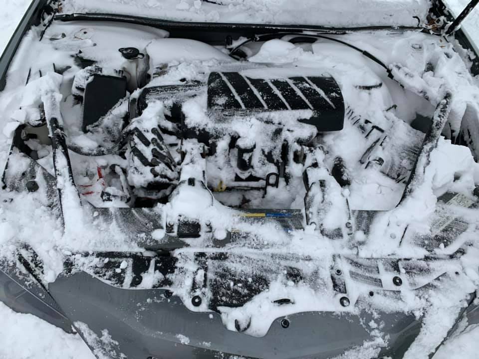 |
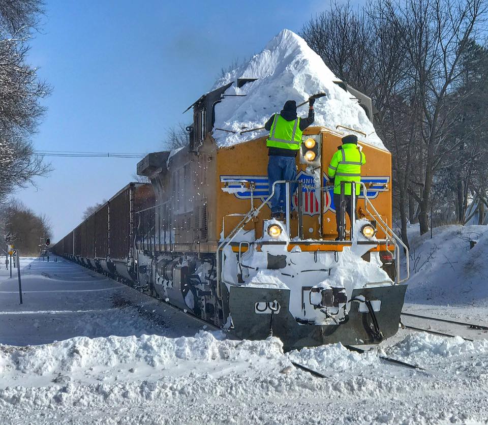
| West Bend, Iowa. Photo courtesy of Julie Banwart. | Ogden, Iowa. Photo courtesy of Alyona Micheal. | Slater, Iowa. Source unknown | Location unknown. Snowy engine. Photo courtesy of Christian Cryder. |
 |
 |
.jpg) |
 |
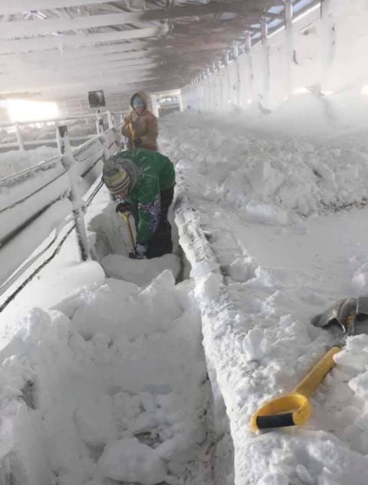
| Jefferson, Iowa. Photo courtesy of Shannon Fecher. | Cattle shed in Hubbard, Iowa. Photos courtesy of Rhonda Gilliam Davis. | Tama County. Photo courtesy of Mickell Wunn. | Between Gladbrook and Garwin, Iowa. Photo courtesy of Susan Boone Beichley. |
 |
 |
 |
 |
| Forest City, Iowa. Photo courtesy of Monique Holland. | West of Hubbard, Iowa. Photo courtesy of Lindsay Granner Lancaster. | Hancock, Iowa. Photo courtesy of Roger M Pierce. | East of Ogden, Iowa. Photo courtesy of Darren Tromblay via Iowa DOT. |
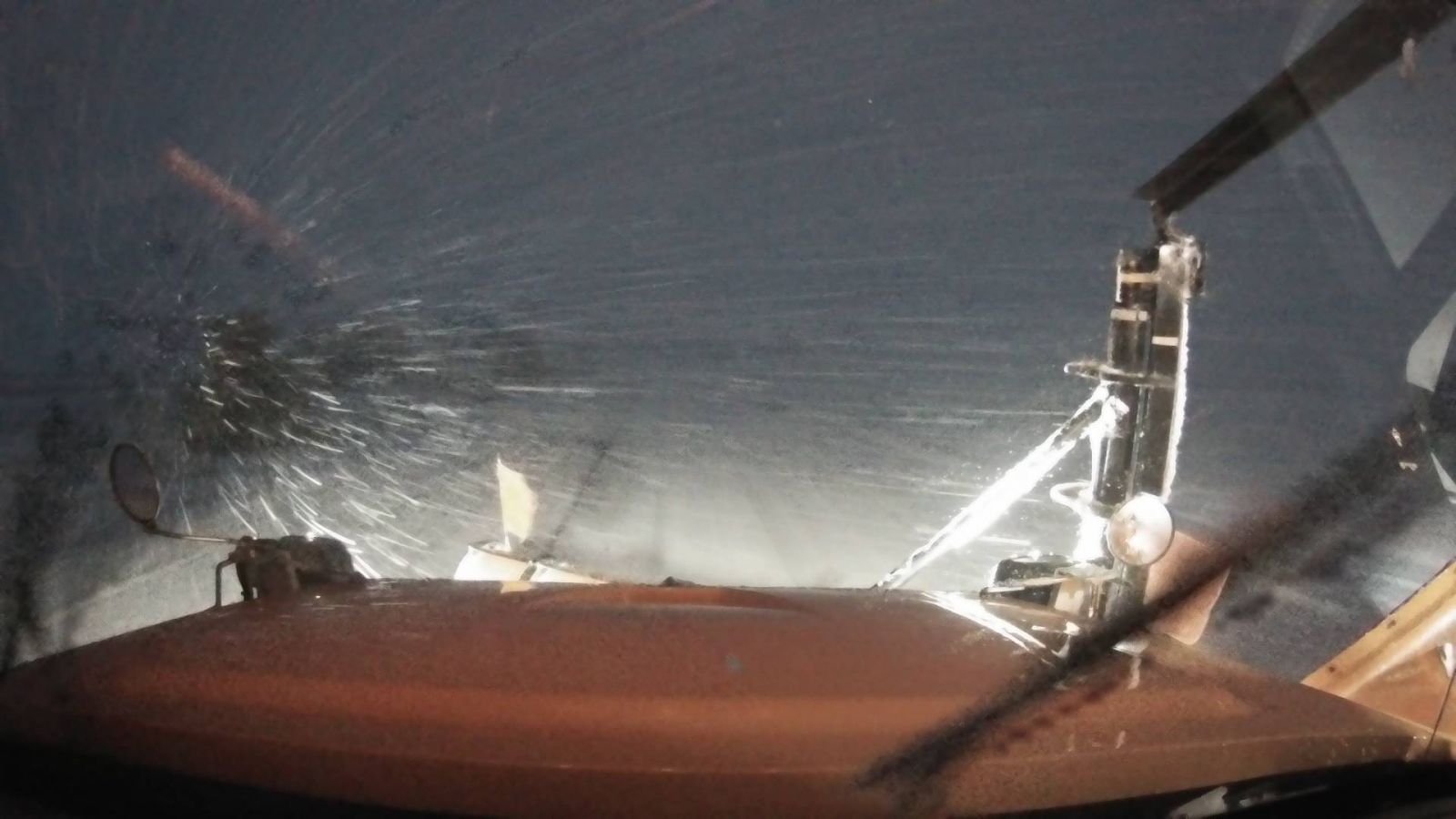
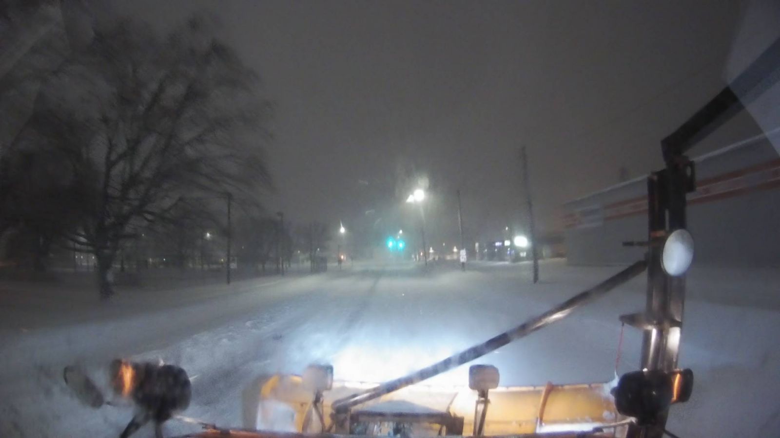
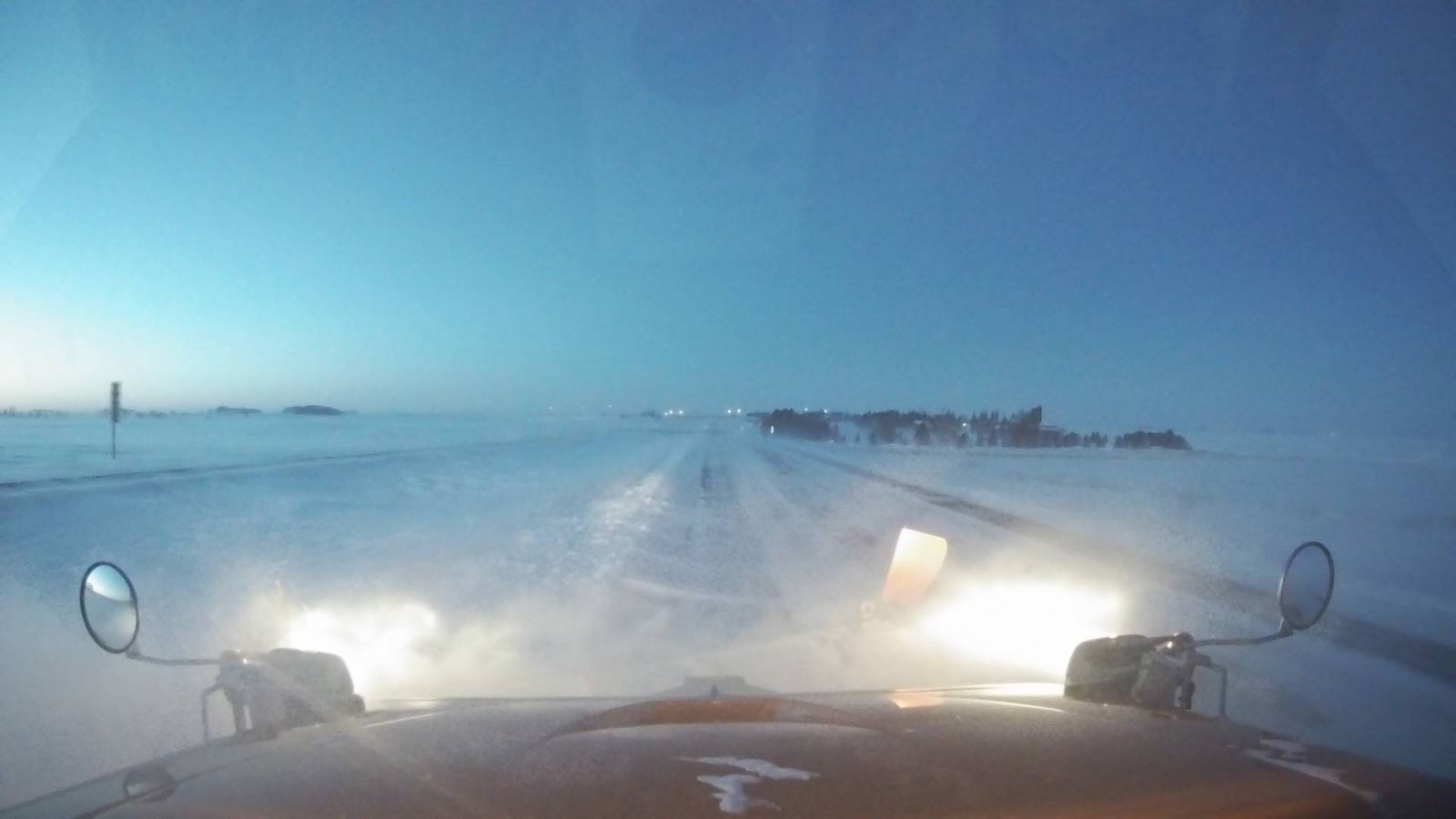
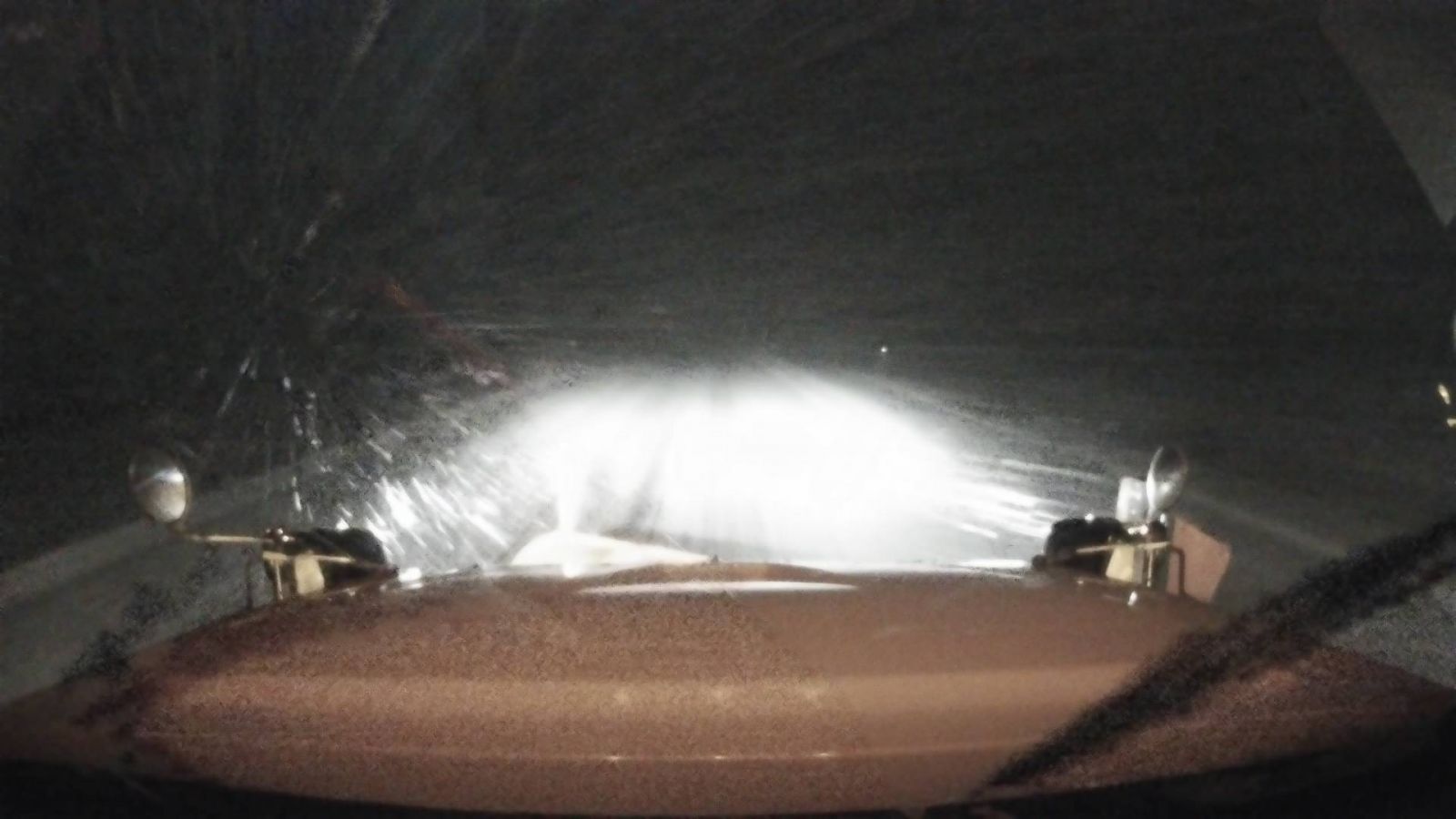
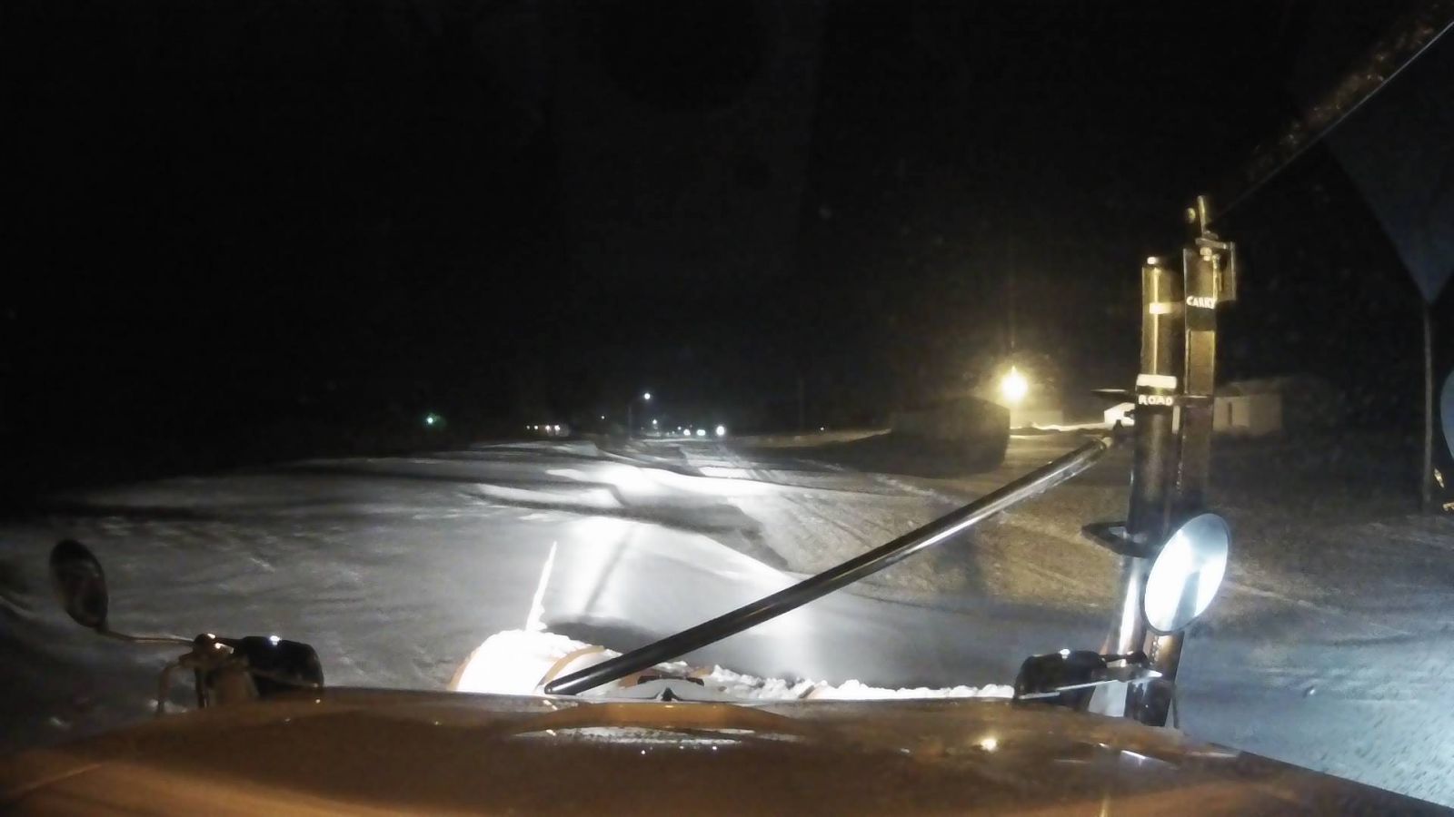
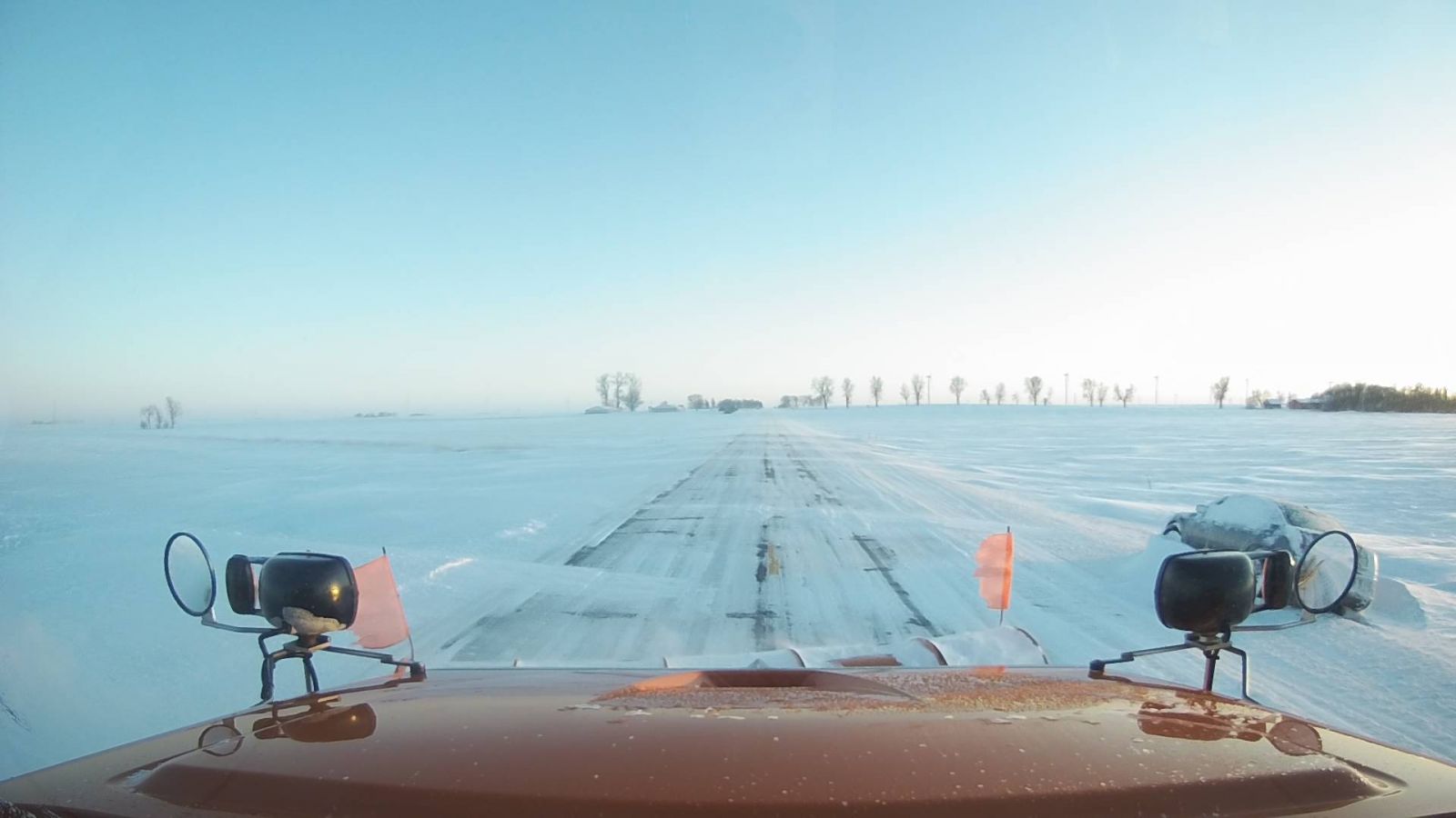
Below are several photos from the Iowa Department of Transportation either their traffic cameras or from their various plows during the event.
 |
 |
 |
 |
|
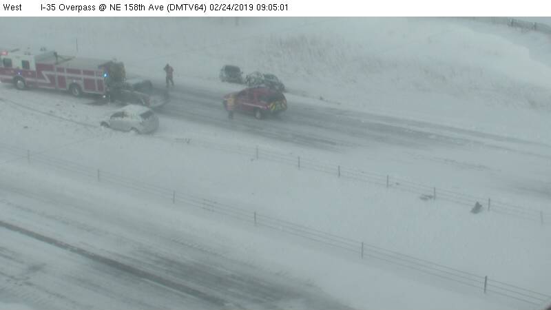
Polk County on I-35 on February 24, 2019. |
Plow (camera) on U.S. 63 shows a large snow blowing clearing the highway. |
Plow on Iowa Highway 4 south of Jefferson. |
Highway 169 in Algona at 6:35 p.m. CT on the 23rd. |
 |
 |
 |
 |
|
Interstate 35 south of Mason City at 6:23 p.m. CT on the 23rd. |
Iowa Highway 141 near Woodward at 8:35 p.m. CT on the 23rd. |
U.S. 63 north of Traer at 8:23 p.m. on the 24th. |
Iowa Highway 17 near Goldfield, Iowa at 8:27 p.m. on the 23rd. |
 |
 |
 |
 |
|
I-35 near Thornton on the afternoon of the 24th. |
I-35 near Dows on the afternoon on the 24th. |
Highway 18 near Britt on the afternoon of the 24th. |
Car in ditch on Highway 110 near Schaller on the 24th at dusk. |
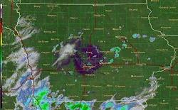
Radar:
 |
 |
| Modeled MRMS precipitation type | Modeled MRMS reflectivity |
This is the actual radar loop of the entire event. When the radar seems to "slow down" is when we switched the radar into a different mode and gathered data more frequently. You can see that the Des Moines Metro area was near the pivot point of the heavy snow band to the west and north.
Storm Reports:
Here is a preliminary summary of the reports received during the event.
Click the map below to go to an interactive map viewer
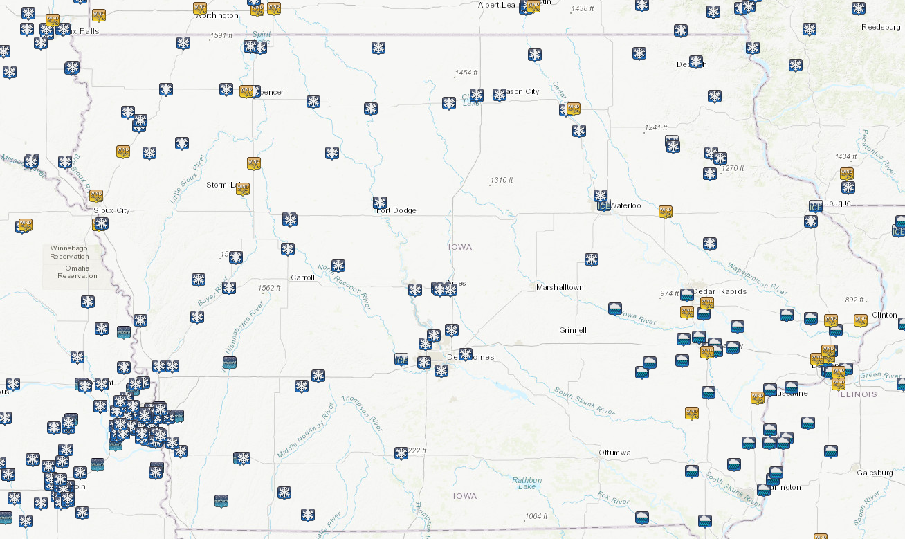
Storm Reports from NWS Des Moines only
Storm Reports from all NWS offices serving Iowa
 |
Media use of NWS Web News Stories is encouraged!
|
|