
Heat expands across the Desert Southwest, Plains, Mississippi Valley and Midwest into Monday. Fire weather concerns continue for portions of the Intermountain West. Active monsoonal moisture fuels thunderstorms over the Southwest with possible flash flooding. Tropical cyclone Fausto in the Pacific, should weaken as it approaches Hawaii; Dangerous surf, swells and rip currents are expected. Read More >
 |
|||||||||||||||||||
|
|||||||||||||||||||
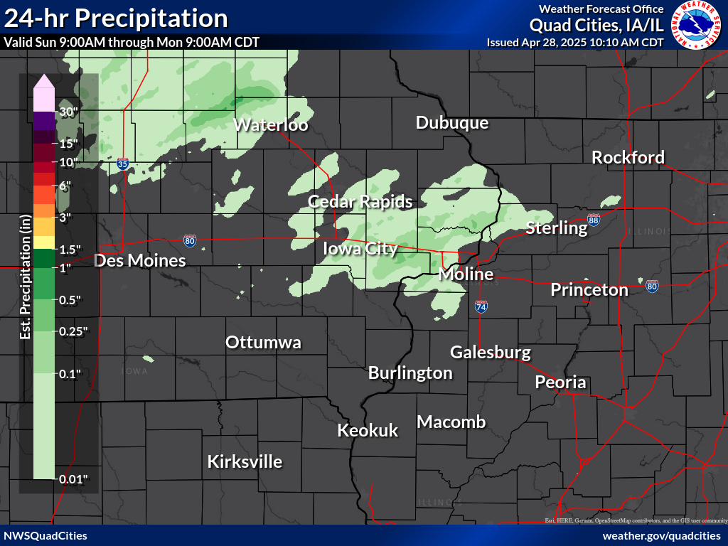
24 hour precipitation reports (in Inches), for eastern Iowa, northwest and west central Illinois, and northeast Missouri. Reported between Midnight and 9 AM, Monday September 29, 2025. ....IOWA.... Le Claire 2.0 WSW 0.00 Davenport 4.3 NE 0.00 Riverdale 0.5 N 0.00 Clinton 1.3 NNE 0.00 Farmington 0.4 NNW 0.00 Farmington 2.4 W 0.00 Farmington 0.3 NW 0.00 Farmington 3.5 W 0.00 Burlington 6.5 SSW 0.00 New London 1.0 W 0.00 New London 1.5 SW 0.00 Fairfield 0.7 SE 0.00 Wapello 0.2 S 0.00 Wellman 4.0 E 0.00 Ainsworth 7.4 N 0.00 Hayesville 0.2 SW 0.00 Eldridge 0.7 SSW 0.00 Charlotte 1.9 WNW 0.00 Iowa City 3.5 E 0.00 Iowa City 2.0 WSW 0.00 Iowa City 1.4 NNE 0.00 Iowa City 2.3 E 0.00 Iowa City 2.7 E 0.00 West Branch 2.3 SSW 0.00 Solon 0.4 WNW 0.00 North Liberty 0.7 SSW 0.00 Marengo 2.6 SSW 0.00 Parnell 0.1 SSW 0.00 Center Junction 2.6 W 0.00 Marion 0.9 NE 0.00 Cedar Rapids 5.8 N 0.00 Robins 0.8 SE 0.00 Cedar Rapids 2.1 NW 0.00 Central City 6.7 W 0.00 Ely 0.5 SE 0.00 Center Point 0.6 NNW 0.00 Marion 1.7 NNW 0.00 Robins 0.4 SSE 0.00 Shellsburg 2.9 S 0.00 Mount Auburn 2.2 NNW 0.00 Dubuque 1.4 WNW 0.00 Asbury 0.4 SW 0.00 Dundee 1.4 NNE 0.00 Hopkinton 5.4 WSW 0.00 Independence 0.9 WNW 0.00 Toledo 0.00 Rathbun Reservoir 0.00 Perry 0.00 Pella 0.00 Marshalltown 0.00 Hampton 0.00 Grinnell 0.00 Boone 0.00 Bloomfield 0.00 Ames US 30 0.00 Strawberry Point 0.00 Guttenberg Dam 10 0.00 Fayette 0.00 Washington 0.00 Williamsburg 0.00 Sigourney 0.00 Muscatine 2N 0.00 Mt Pleasant 0.00 Manchester 0.00 Monticello 0.00 Lowden 0.00 Iowa City 0.00 Fairfield 0.00 Keokuk LD19 0.00 Donnellson 0.00 Dubuque LD11 0.00 Bellevue LD12 0.00 Anamosa 3 SSW 0.00 Pella AWOS 0.00 Ottumwa ASOS 0.00 Oskaloosa AWOS 0.00 Marshalltown ASOS 0.00 Grinnell AWOS 0.00 Waterloo ASOS 0.00 Mason City ASOS 0.00 Oelwein AWOS 0.00 NWS Johnston* 0.00 Iowa City Arpt 0.00 Davenport Arpt 0.00 Cedar Rapids Arpt 0.00 Burlington Arpt 0.00 ....ILLINOIS.... Colchester 3.5 NE 0.00 Taylor Ridge 1.1 N 0.00 Illinois City 6.7 SW 0.00 Moline 0.7 NNE 0.00 Warsaw 5.8 SE 0.00 Dallas City 3.0 SSE 0.00 Stronghurst 0.4 SSW 0.00 Walnut 5.3 ENE 0.00 Colona 0.5 ESE 0.00 Galva 0.4 NW 0.00 Geneseo 2.0 NW 0.00 New Windsor 2.0 N 0.00 Galva 2.7 NE 0.00 Morrison 3.2 E 0.00 Lanark 4.2 NNW 0.00 Lanark 5.3 N 0.00 Mount Carroll 6.8 NNW 0.00 Davis 1.5 NNE 0.00 Lena 0.3 SSE 0.00 Freeport 4.3 W 0.00 Davis 0.5 N 0.00 Galena 0.8 WSW 0.00 Stockton 4.6 NW 0.00 East Dubuque 1.7 SE 0.00 Stockton 3.4 NNE 0.00 Steward 0.00 Streator 0.00 Paw Paw 0.00 Ottawa 0.00 Mendota 0.00 Romeoville 0.00 Stockton 0.00 New Boston LD17 0.00 La Harpe 0.00 Kewanee 0.00 Ill. City LD16 0.00 Gladstone LD18 0.00 Fulton LD13 0.00 Freeport 0.00 Elizabeth 0.00 Bentley 0.00 Aledo 0.00 Quincy Arpt 0.00 Peoria Arpt 0.00 Jacksonville Arpt 0.00 Decatur Airport 0.00 Bloomington Airport 0.00 Rochelle Arpt 0.00 Rockford Arpt 0.00 Joliet Arpt 0.00 Quad City Arpt 0.00 ....MISSOURI.... Memphis 0.00 Columbia Arpt 0.00 ....WISCONSIN.... Whitewater 0.00 Brodhead 0.00 Beloit-College 0.00 Watertown-Arpt 0.00 Madison Arpt 0.00 Prairie du Chien AWOS 0.00 Sullivan-NWS 0.00 La Crosse WFO 0.00 ....MINNESOTA.... Theilman 1SSW 0.00 Preston 0.00 Grand Meadow 0.00 |
|||||||||||||||||||

