 |
|||||||||||||||||||
|
|||||||||||||||||||
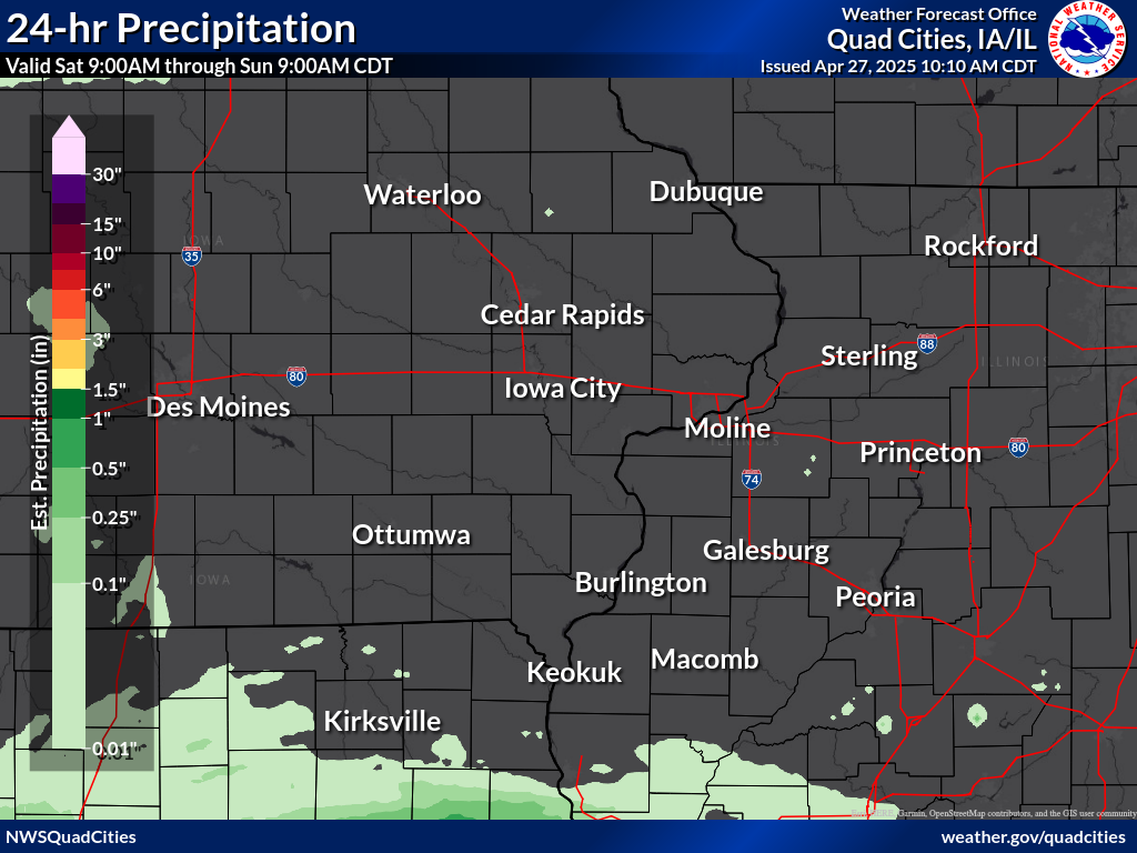
24 hour precipitation reports (in Inches), for eastern Iowa, northwest and west central Illinois, and northeast Missouri. Reported between Midnight and 9 AM, Sunday September 28, 2025. ....IOWA.... Le Claire 2.0 WSW 0.00 Davenport 4.3 NE 0.00 Riverdale 0.5 N 0.00 Clinton 1.3 NNE 0.00 Farmington 0.4 NNW 0.00 Farmington 2.4 W 0.00 Farmington 0.3 NW 0.00 Farmington 3.5 W 0.00 Burlington 6.5 SSW 0.00 New London 1.0 W 0.00 New London 1.5 SW 0.00 Fairfield 0.7 SE 0.00 Wapello 0.2 S 0.00 Wellman 4.0 E 0.00 Ainsworth 7.4 N 0.00 Hayesville 0.2 SW 0.00 Eldridge 0.7 SSW 0.00 Charlotte 1.9 WNW 0.00 Iowa City 3.5 E 0.00 Iowa City 2.0 WSW 0.00 Iowa City 1.4 NNE 0.00 Iowa City 2.3 E 0.00 Iowa City 2.7 E 0.00 West Branch 2.3 SSW 0.00 Solon 0.4 WNW 0.00 North Liberty 0.7 SSW 0.00 Marengo 2.6 SSW 0.00 Parnell 0.1 SSW 0.00 Center Junction 2.6 W 0.00 Marion 0.9 NE 0.00 Cedar Rapids 5.8 N 0.00 Robins 0.8 SE 0.00 Cedar Rapids 2.1 NW 0.00 Central City 6.7 W 0.00 Ely 0.5 SE 0.00 Center Point 0.6 NNW 0.00 Marion 1.7 NNW 0.00 Robins 0.4 SSE 0.00 Shellsburg 2.9 S 0.00 Mount Auburn 2.2 NNW 0.00 Dubuque 1.4 WNW 0.00 Asbury 0.4 SW 0.00 Dundee 1.4 NNE 0.00 Hopkinton 5.4 WSW 0.00 Independence 0.9 WNW 0.00 Rathbun Reservoir 0.00 Pella 0.00 Marshalltown 0.00 Hampton 0.00 Grinnell 0.00 Boone 0.00 Bloomfield 0.00 Allerton 0.00 Oelwein 1E 0.00 Guttenberg Dam 10 0.00 Fayette 0.00 Washington 0.00 Williamsburg 0.00 Sigourney 0.00 Muscatine 2N 0.00 Mt Pleasant 0.00 Lowden 0.00 Iowa City 0.00 Fairfield 0.00 Keokuk LD19 0.00 Donnellson 0.00 Dubuque LD11 0.00 Bellevue LD12 0.00 Belle Plaine 0.00 Anamosa 3 SSW 0.00 Pella AWOS 0.00 Ottumwa ASOS 0.00 Oskaloosa AWOS 0.00 Marshalltown ASOS 0.00 Grinnell AWOS 0.00 Waterloo ASOS 0.00 Mason City ASOS 0.00 Oelwein AWOS 0.00 NWS Johnston* 0.00 Iowa City Arpt 0.00 Davenport Arpt 0.00 Cedar Rapids Arpt 0.00 Burlington Arpt 0.00 ....ILLINOIS.... Colchester 3.5 NE 0.00 Taylor Ridge 1.1 N 0.00 Illinois City 6.7 SW 0.00 Moline 0.7 NNE 0.00 Warsaw 5.8 SE 0.00 Dallas City 3.0 SSE 0.00 Stronghurst 0.4 SSW 0.00 Walnut 5.3 ENE 0.00 Colona 0.5 ESE 0.00 Galva 0.4 NW 0.00 Geneseo 2.0 NW 0.00 New Windsor 2.0 N 0.00 Galva 2.7 NE 0.00 Morrison 3.2 E 0.00 Lanark 4.2 NNW 0.00 Lanark 5.3 N 0.00 Mount Carroll 6.8 NNW 0.00 Davis 1.5 NNE 0.00 Lena 0.3 SSE 0.00 Freeport 4.3 W 0.00 Davis 0.5 N 0.00 Galena 0.8 WSW 0.00 Stockton 4.6 NW 0.00 East Dubuque 1.7 SE 0.00 Stockton 3.4 NNE 0.00 Steward 0.00 Mendota 0.00 Romeoville 0.00 Stockton 0.00 New Boston LD17 0.00 La Harpe 0.00 Kewanee 0.00 Ill. City LD16 0.00 Gladstone LD18 0.00 Fulton LD13 0.00 Freeport 0.00 Elizabeth 0.00 Bentley 0.00 Aledo 0.00 Quincy Arpt 0.00 Peoria Arpt 0.00 Jacksonville Arpt 0.00 Decatur Airport 0.00 Bloomington Airport 0.00 Rochelle Arpt 0.00 Joliet Arpt 0.00 Quad City Arpt 0.00 ....MISSOURI.... Columbia Arpt 0.00 ....WISCONSIN.... Whitewater 0.00 Monroe 0.00 Darlington 0.00 Brodhead 0.00 Beloit-College 0.00 Allenton-WWTP 0.00 Watertown-Arpt 0.00 Madison Arpt 0.00 Prairie du Chien AWOS 0.00 Sullivan-NWS 0.00 La Crosse WFO 0.00 ....MINNESOTA.... Preston 0.00 |
|||||||||||||||||||

