A Flood Watch remains in effect for parts of the Hill Country, southern Edwards Plateau, and Rio Grande Plains through noon Friday. New rainfall of 2 to 4 inches are totals of up to an isolated amount of 8 inches is possible in this region. Stay weather aware and remember to have multiple ways to receive warnings.
Locally heavy rain possible across the Rio Grande and southern Edwards Plateau this morning. Rest of the area stays dry and cloudy with highs in the upper 80s to mid 90s.
Never underestimate the power of water. Heavy rain can quickly cause flash flooding. Always use caution if camping near a stream, river, or low-lying area.
With more flooding possible late tonight into tomorrow morning on top of the considerable to locally catastrophic flooding experienced across portions of the region over the past two days, staying completely out of floodwaters is critical. Moving or standing water hides a multitude of active, invisible dangers that can lead to serious sickness, injury, or even death. These hidden hazards include displaced animals and stinging insects, active live wires, harmful bacteria, toxic chemicals, raw sewage, and sharp objects or debris hidden just beneath the surface.








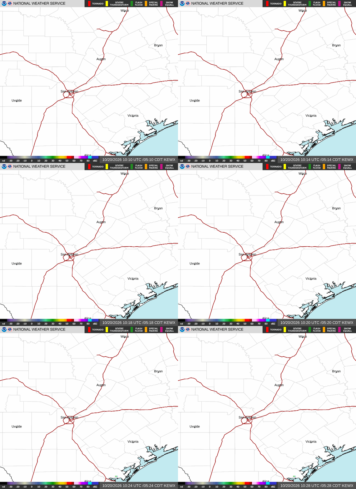 Austin/San Antonio Radar
 Weather Map
 Satellite Imagery
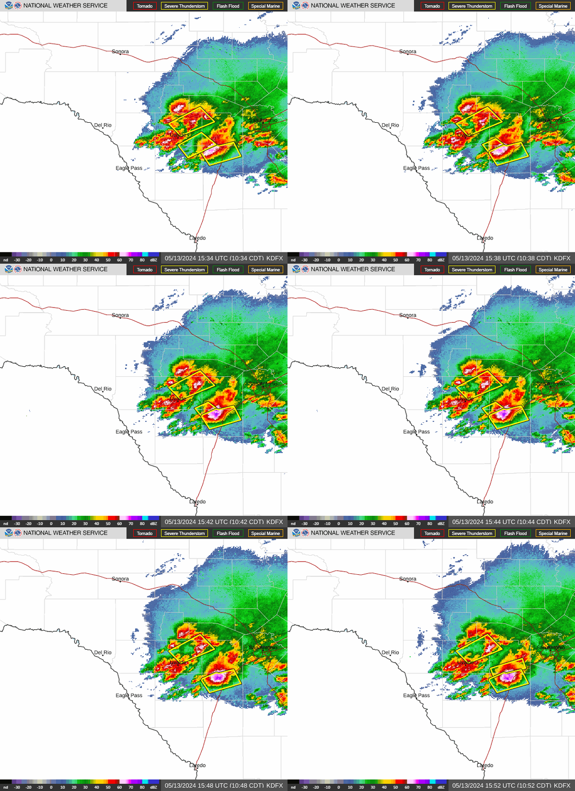 Del Rio Radar
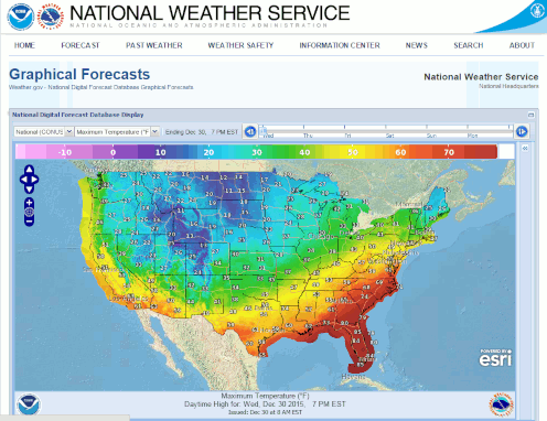 Digital Forecast Map
 Tropical Outlook
 Drought Status
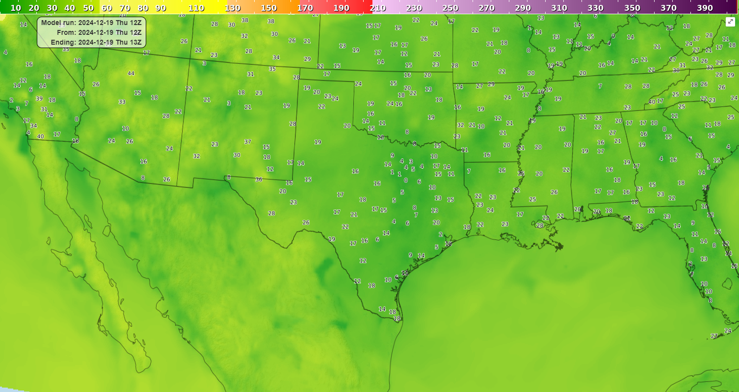 Air Quality
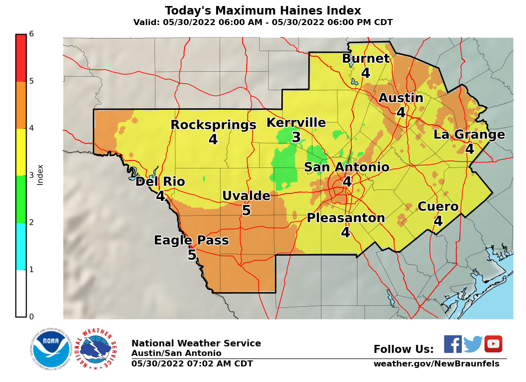 Fire Weather Forecasts
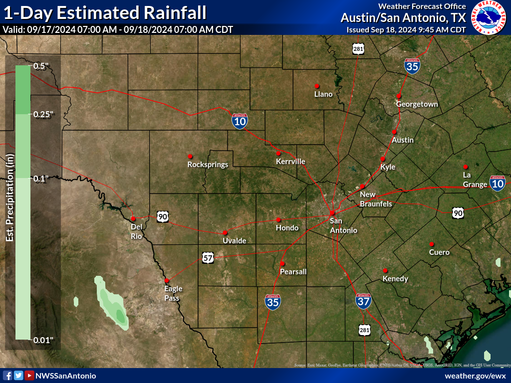 Observed Rainfall
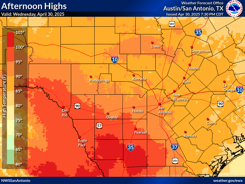 Observed Temperatures
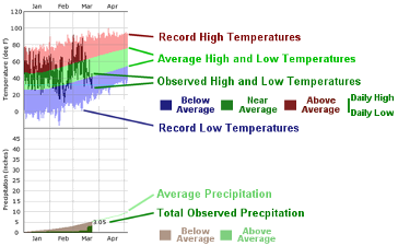 Daily Climate Graphs
 Follow us on X
 Follow us on Facebook
 Follow us on YouTube
 EWX RSS Feed