There are no watches, warnings, or advisories at this time.
Tonight
Weekly Outlook
Cool and mostly cloudy conditions persist tonight with low temperatures ranging from the mid 50s to mid 60s across South Central Texas. Besides a few stray showers along the Rio Grande, dry weather is expected.
Warm with rain chances increasing through the work week. High temperatures in the mid 70s to mid 80s through the period. Best chances for rain Thursday and Friday.

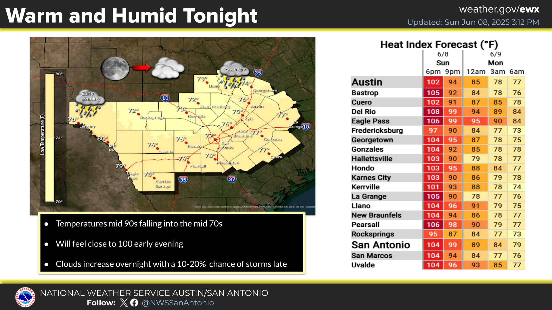





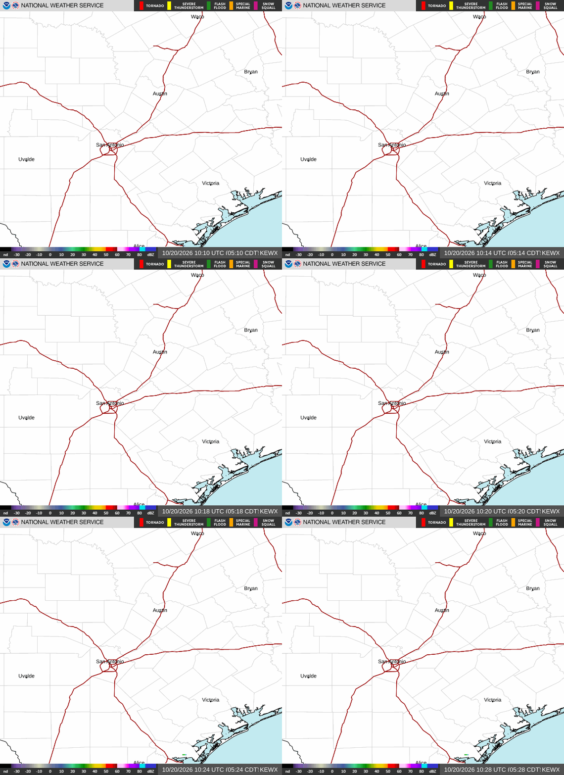 Austin/San Antonio Radar
 Weather Map
 Satellite Imagery
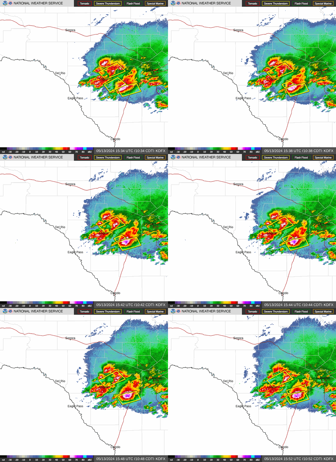 Del Rio Radar
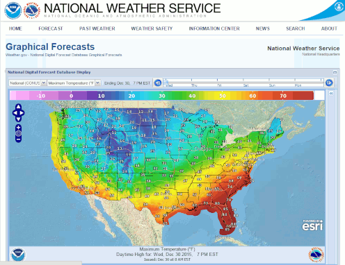 Digital Forecast Map
 Tropical Outlook
 Drought Status
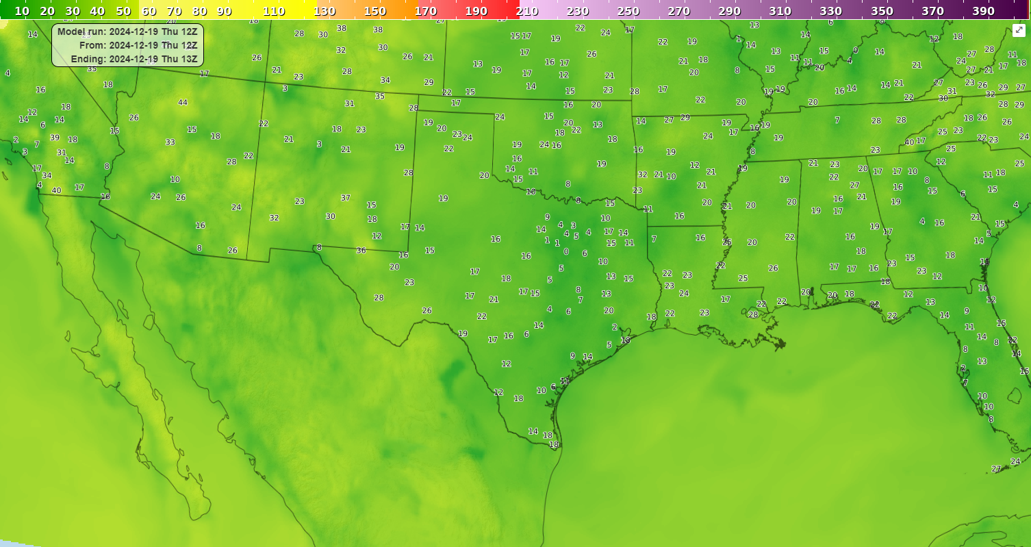 Air Quality
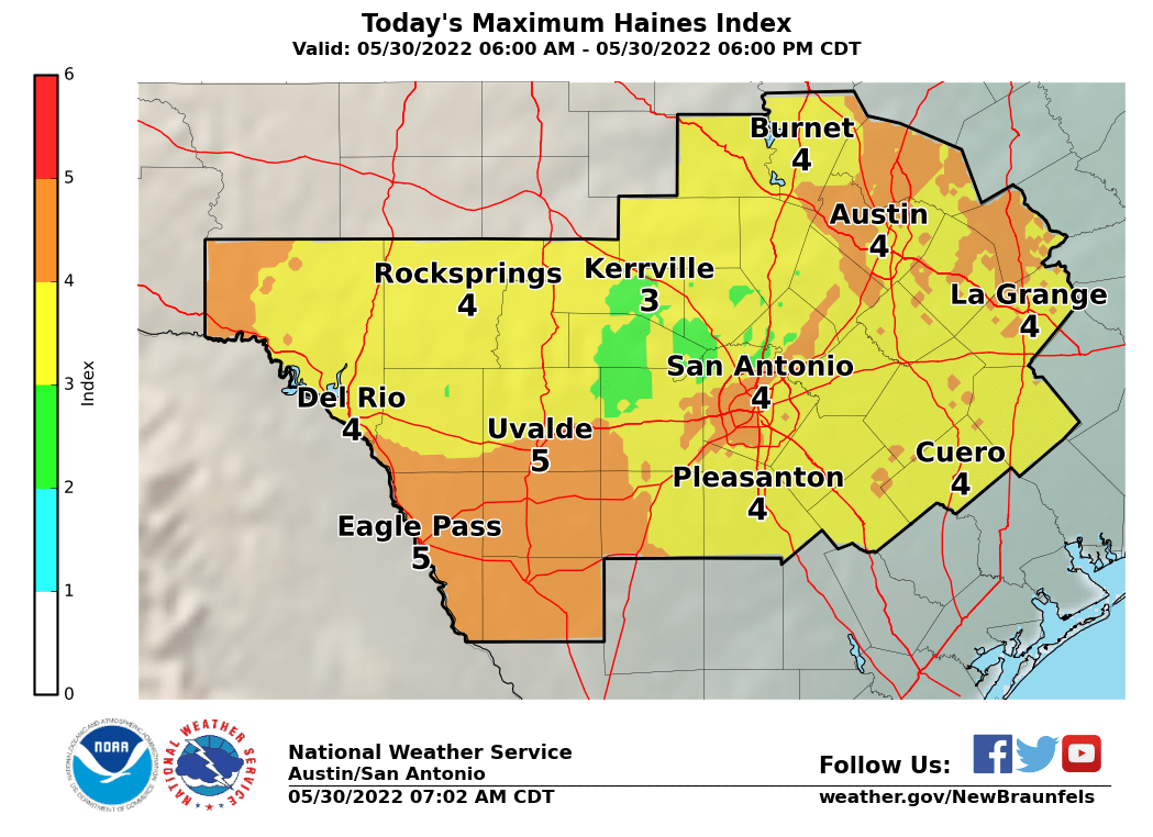 Fire Weather Forecasts
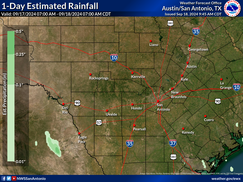 Observed Rainfall
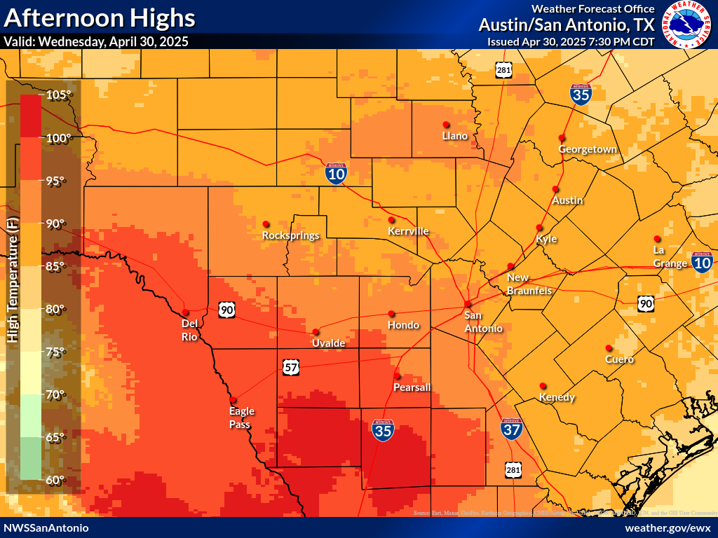 Observed Temperatures
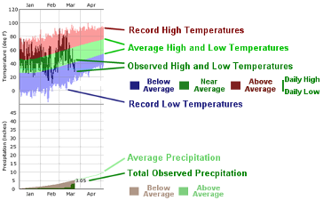 Daily Climate Graphs
 Follow us on X
 Follow us on Facebook
 Follow us on YouTube
 EWX RSS Feed