A Flood Watch goes in effect 1 PM Thursday for Val Verde County and continues through 7 AM Friday. A strong cold front is expected to impact the area starting Thursday afternoon. Moisture associated with Hurricane Simon in the Pacific will help to enhance rainfall rates across Val Verde County that could lead to life threatening flash flooding. Stay weather aware and have multiple ways to receive warnings.
One last day of warm and humid conditions before the front! Morning clouds erode to partly cloudy skies. Morning showers along and east of the dashed line will transition to stronger/heavier late-day and evening storms entering the Southern Edwards Plateau. Eastern and Central region will be mostly dry.
There is up to a Level 3 of 4 risk for flash flooding across the Southern Edwards Plateau late today into early Friday. 1 to 3 inches of rain with isolated amounts of up to 6 inches are possible in the watch area. Be aware of creeks, streams, and other low-lying locations, particularly along the Pecos and Devils Rivers. Have multiple ways to receive warnings and stay weather aware if outdoors.
A Level 1 of 5 severe storm risk is in place late today through tonight for the Southern Edwards Plateau. Primary hazards with any isolated strong to severe storms, include gusty to strong winds, frequent lightning, and heavy rain.
A big pattern shift arrives pre-dawn Friday! A strong cold front brings morning showers, strong northerly wind gusts up to 45 mph, and a significant drop in temperatures for a cool weekend.
Expect morning rain chances Friday with the front before drying out! The weekend will be much cooler with highs in the 60s and 70s and lows in the 40s and 50s (upper 30s in some of the Hill Country valleys). Temperatures warm into and through next week.







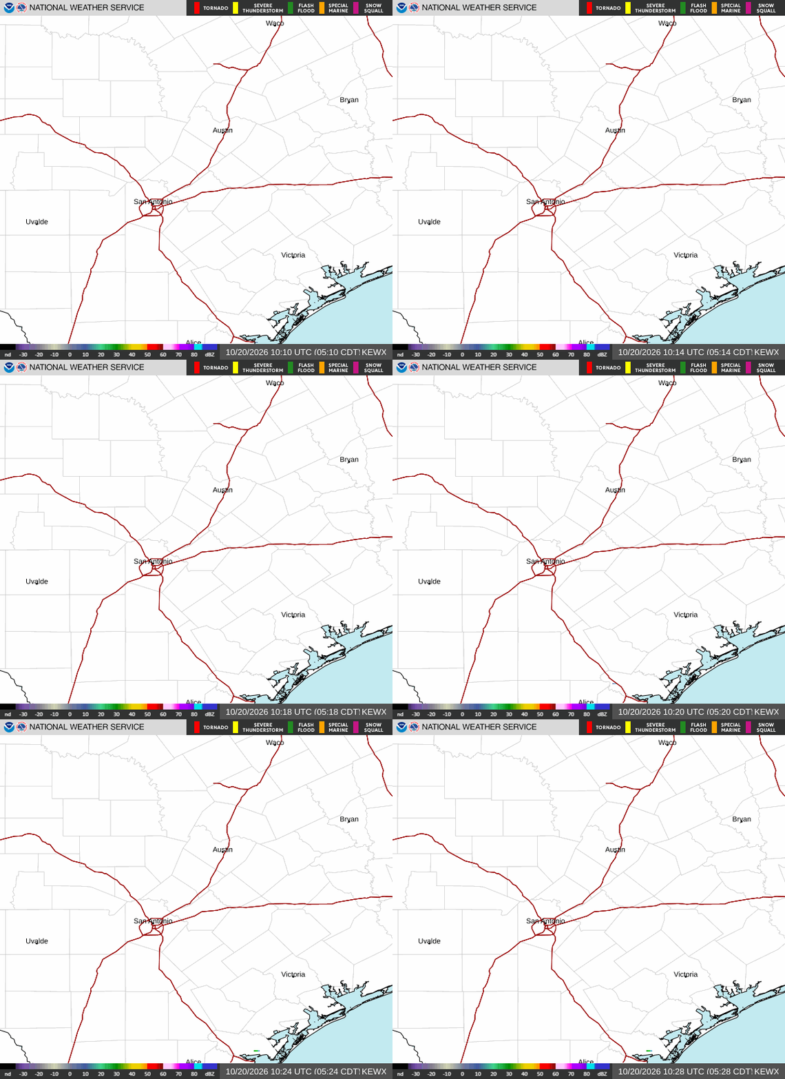 Austin/San Antonio Radar
 Weather Map
 Satellite Imagery
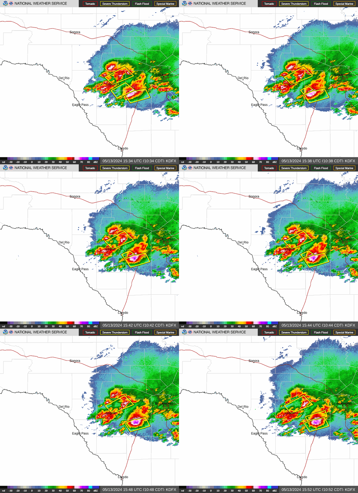 Del Rio Radar
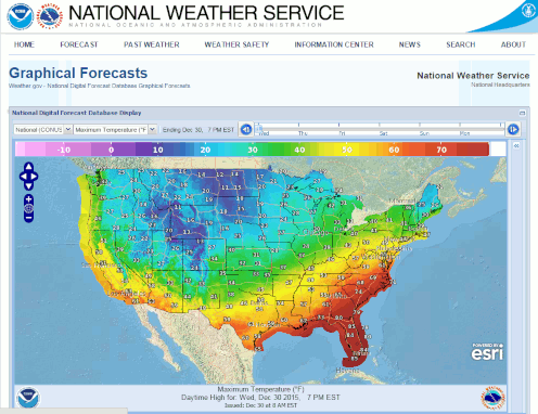 Digital Forecast Map
 Tropical Outlook
 Drought Status
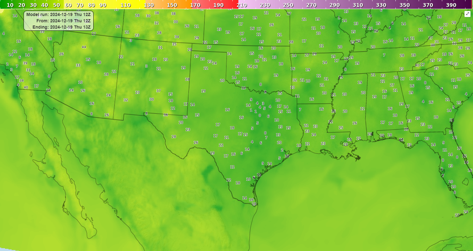 Air Quality
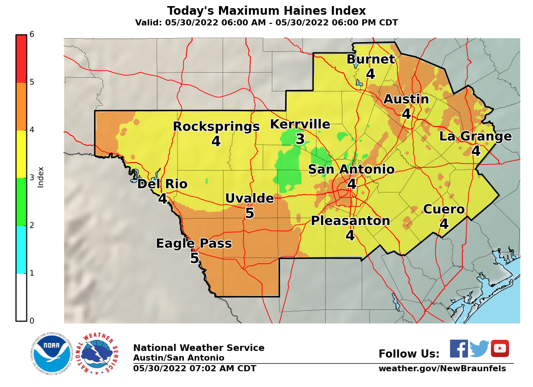 Fire Weather Forecasts
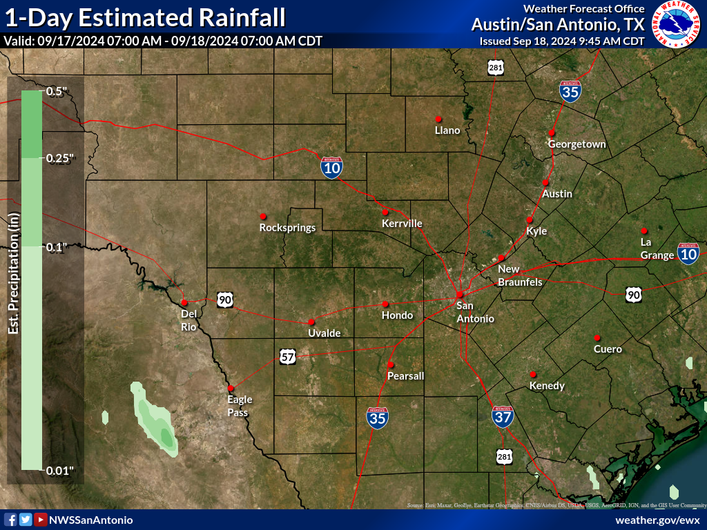 Observed Rainfall
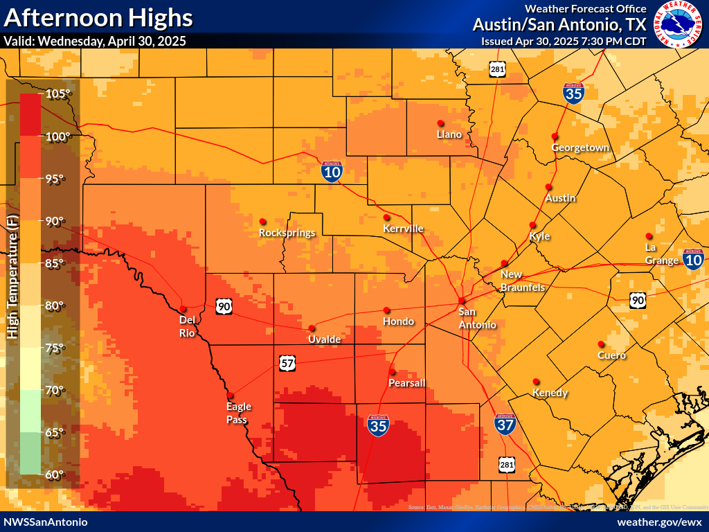 Observed Temperatures
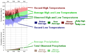 Daily Climate Graphs
 Follow us on X
 Follow us on Facebook
 Follow us on YouTube
 EWX RSS Feed