There are no watches, warnings, or advisories at this time.
Quiet Weather This Weekend
How Long Will Warm and Dry Weather Continue?
Quiet weather is expected across the area this weekend. Temperatures will warm into the 80s beneath partly cloudy skies, with lows in the upper-50s to lower 60s. Winds will be from the southeast generally around 10mph. No precipitation is expected.
Above normal temperatures and low rain chances are likely to continue into next week, with a more significant pattern shift occurring towards the end of the month. Above-normal precipitation is favored to end October and begin November.











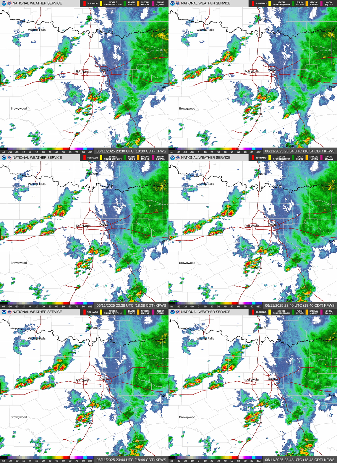 Local Radar
 Weather Map
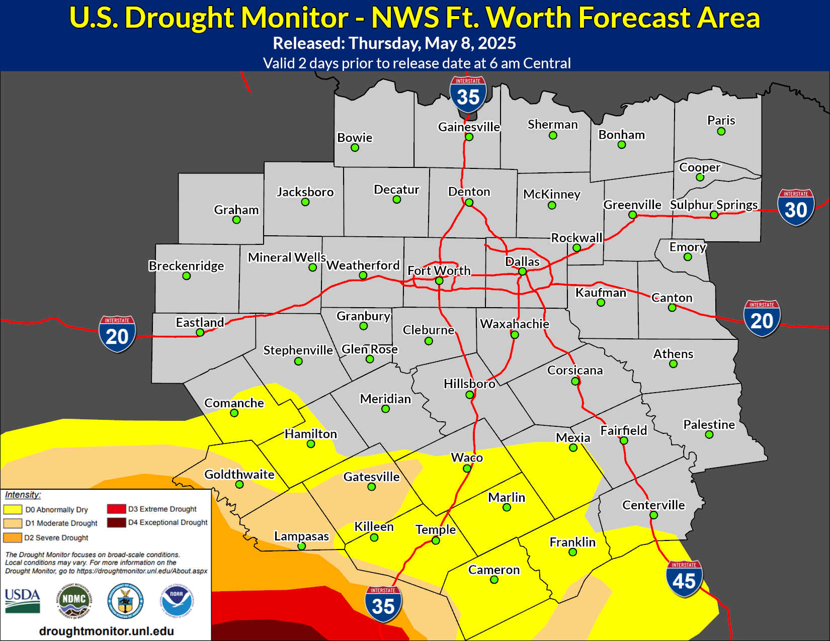 Drought Monitor
 Follow us on X
 Follow us on Facebook
 Follow us on YouTube
 FWD RSS Feed