National Weather Service United States Department of Commerce

Heavy Rainfall and Severe Thunderstorms in the Southern Plains

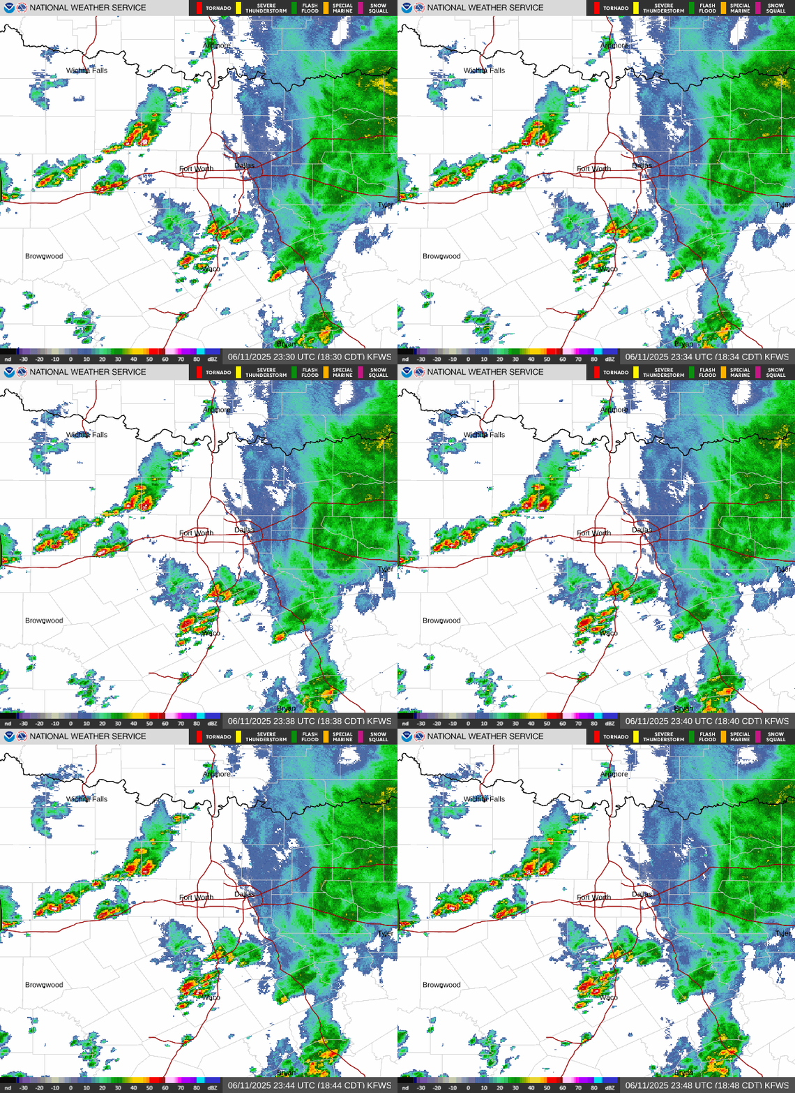
A slow moving front combined with tropical moisture will maintain the threat of locally considerable flash/urban flooding across much of Texas and Oklahoma through Friday. Isolated severe storms capable of mainly severe wind gusts appear possible over portions of Kansas, Oklahoma, and Texas this afternoon and evening. Read More >

The Flood Watch remains in effect through Friday morning and has been expanded into portions of eastern North Texas. Additional rainfall totals between 1 and 3 inches of rain are expected with isolated higher amounts up to 4 inches through Friday.
Showers and storms will continue to move through the region today, with additional development expected on and off through Friday. Outside of lightning and gusty winds, heavy rain and flash flooding will be the main hazards through Friday morning. Remember to never drive through flooded roads, and keep updated with the forecast!
Rain chances will persist through the weekend before drier air moves into the region. Afternoon temperatures will be in the 70s and 80s with overnight lows in the 50s and 60s going into the first half of next week.
With the potential for heavy rain and flooding over the next few days, it is important to remember that flash flooding can escalate quickly. Make sure to have multiple ways to receive warnings. Do not drive into flood waters, even if they appear shallow. Turn around, don't drown.

Text Product Selector (Selected product opens in current window)
Latest Text Products Issued (Experimental)
Safe Rooms Icon Cooperatirve Rainfall (CoCoRaHs) icon Storm Ready Icon AirNow Icon