DFW’s Summer 2026 one of the hottest & driest ever
Very isolated showers and thunderstorms will be possible west of I-35 today and tomorrow afternoon. While expected to be short-lived, gusty winds in addition to lightning and brief heavy rain will be possible.
Above-average temperatures will continue through the weekend. An elevated fire weather threat will exist on Friday due to low humidity. A decaying thundershower complex may reach northern portions of the area on Sunday morning.
There are currently no significant changes to our expectations of an increasingly active pattern next week. Precipitation chances will increase, along with a return to more seasonal temperatures across the region. Stay up to date with the latest forecast at weather.gov/fwd.
DFW's incredibly long dry streak is officially over with the airport measuring 0.01" of rain this evening, tying the 2nd longest period with no measurable rain on record at 67 days. DFW will also likely end up with 52 days in the 100s this year, tying for 5th most on record.











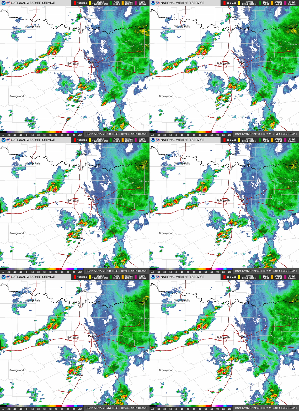 Local Radar
 Weather Map
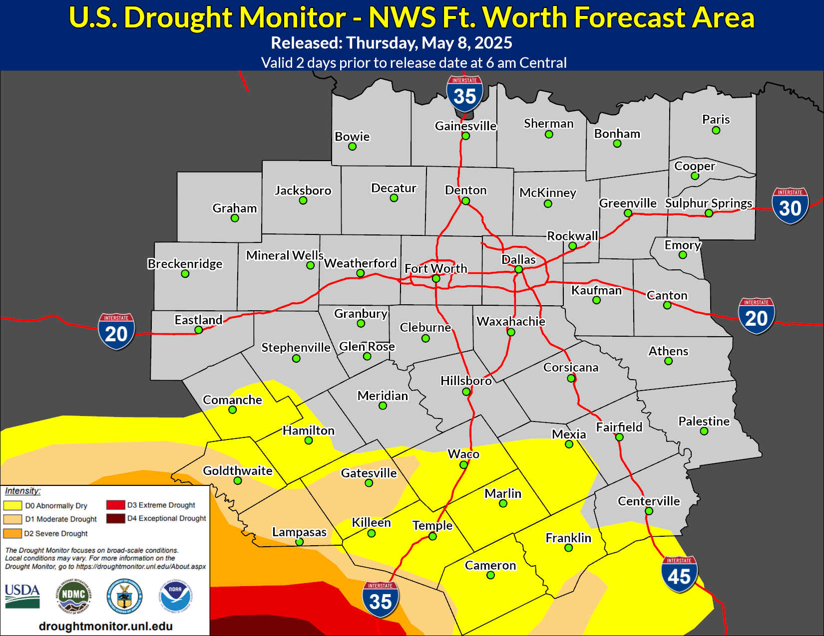 Drought Monitor
 Follow us on X
 Follow us on Facebook
 Follow us on YouTube
 FWD RSS Feed