DFW’s Summer 2026 one of the hottest & driest ever
Isolated showers and thunderstorms will be possible this afternoon across Central Texas and into the Big Country regions. A few could become strong, with gusty winds, small hail, and frequent lightning possible. Temperatures will peak in the mid-90s, with storms ending after sunset. Lows will fall into the low to mid-70s again tonight.
The rest of the workweek will feature hot and mostly dry conditions aside from isolated thunderstorm chances west of I-35 on Wednesday. Temperatures will remain 5-10 degrees above average for this time of year.
DFW's incredibly long dry streak is officially over with the airport measuring 0.01" of rain this evening, tying the 2nd longest period with no measurable rain on record at 67 days. DFW will also likely end up with 52 days in the 100s this year, tying for 5th most on record.











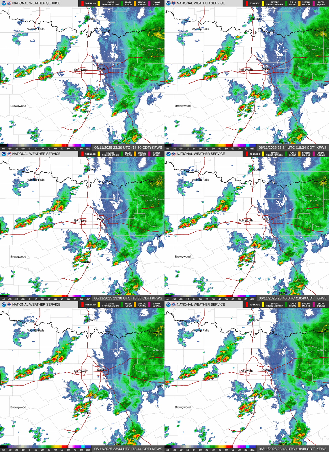 Local Radar
 Weather Map
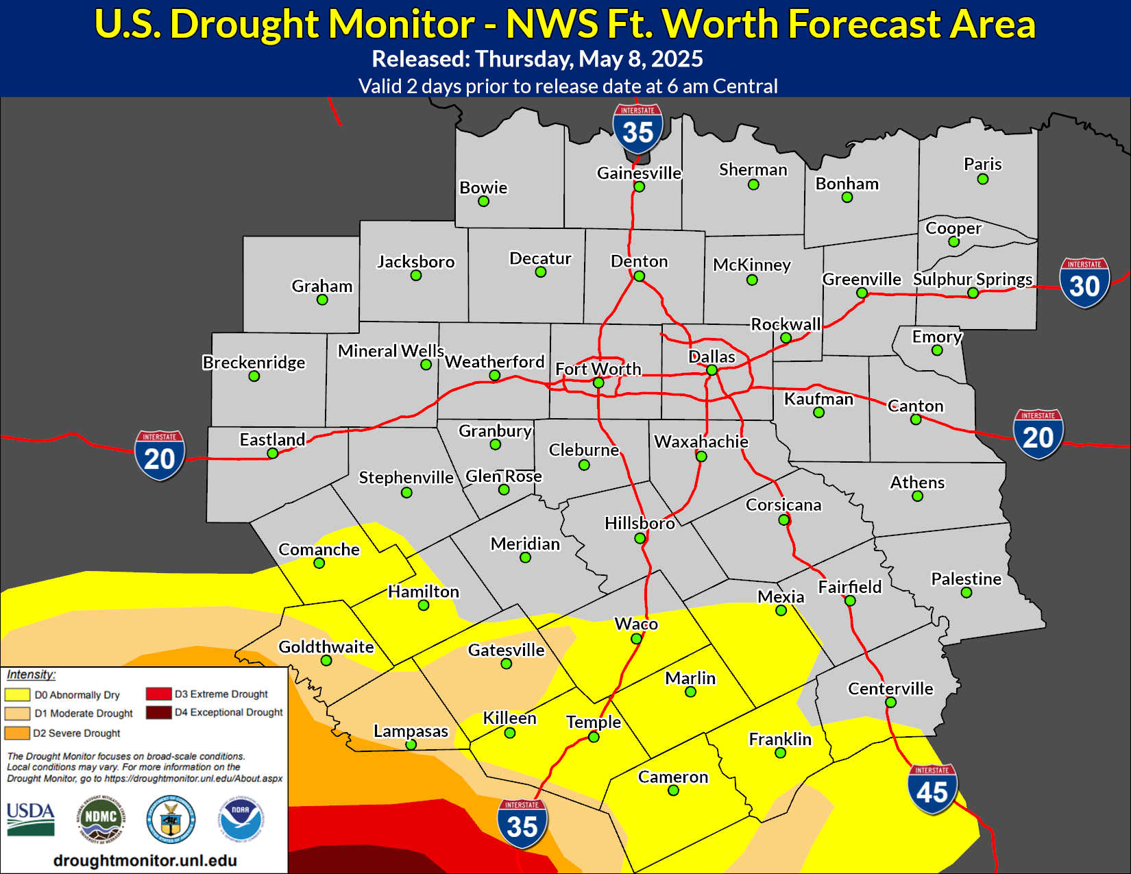 Drought Monitor
 Follow us on X
 Follow us on Facebook
 Follow us on YouTube
 FWD RSS Feed