Republican River Flood of May 30, 1935

This website is dedicated to preserving the history of the Republican River Flood of 1935.
To view a larger image of any photo, click on the photo.
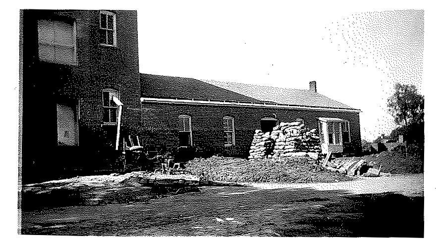
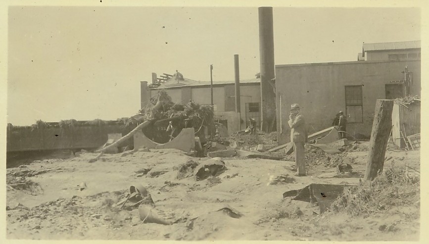
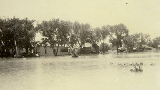
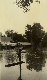
McCook Power & Light Plant
|

The Power plant before destruction by the flood.
|

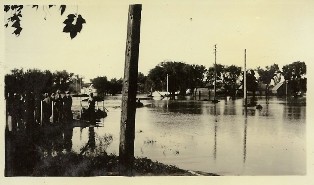
At 10 am just before the rapid rise. A few minutes later the water covered the embankment in the center ground.
|

At 11 am. The water continued to rise.
|
|

|

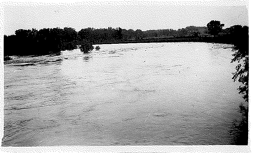
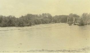
Flood rise
|

|
|

|

|

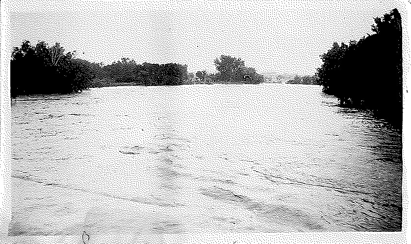
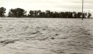
Nearing flood peak.
|
|

The flood peak.
|

A hand line and telephone cable car were brought to the men on the roof on a rope. Two men were rescued this way before the supporting poles were washed away.
|

The boat in which the majority of the men were brought from a point near the water cooler to the land.
|
|

The 25,000 gallon water tank fell causing an anxious moment for all friends and relatives on the bank and the men on the plant.
|

Another image of the water tank collapsing.
|

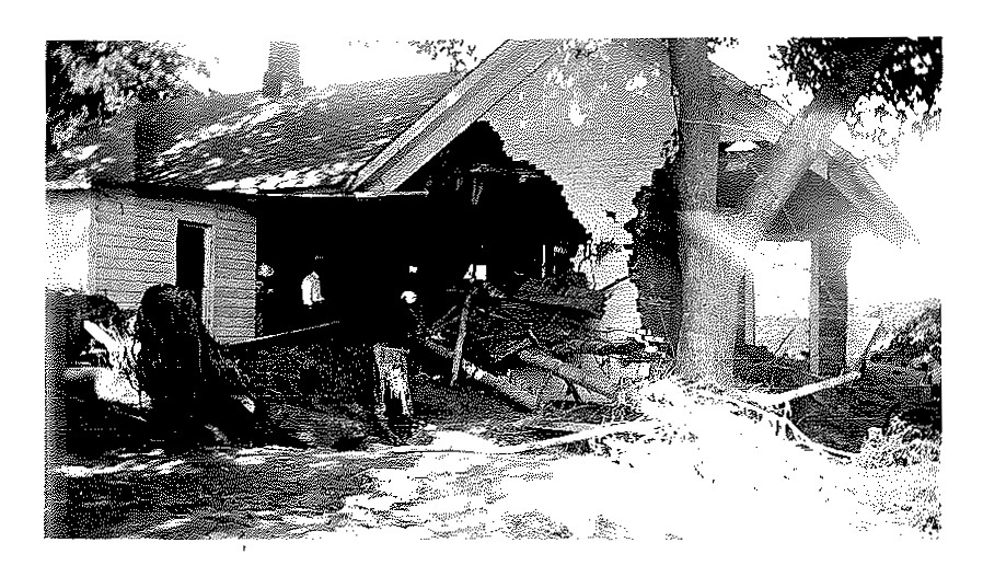
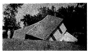
Roof falling in at the Nebraska Light and Power Company.
|
|

The water continued to recede.
|

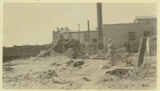
Front view of the plant 3 days after the flood. The railing in the foreground washed from their original location to te right. Debris is being thrown out of the plant.
|

Another view of the plant after the flood.
|
|

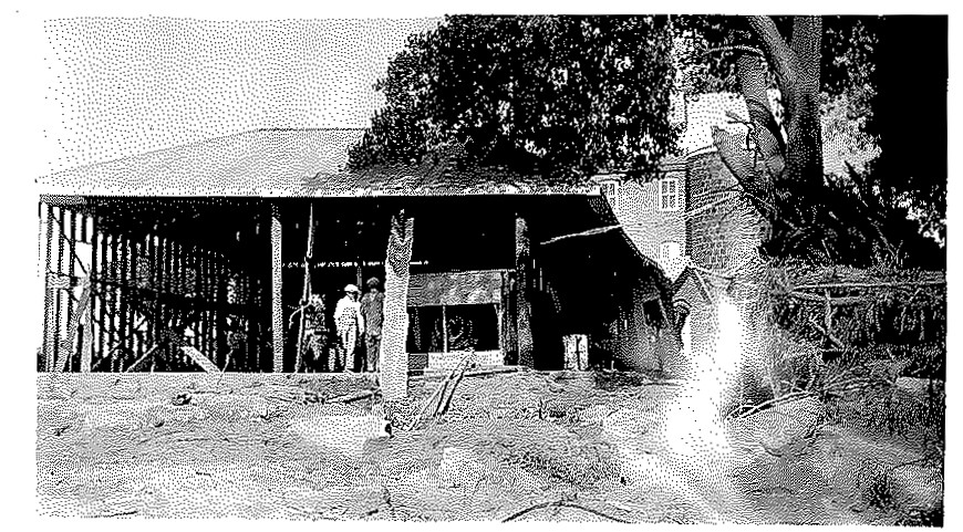
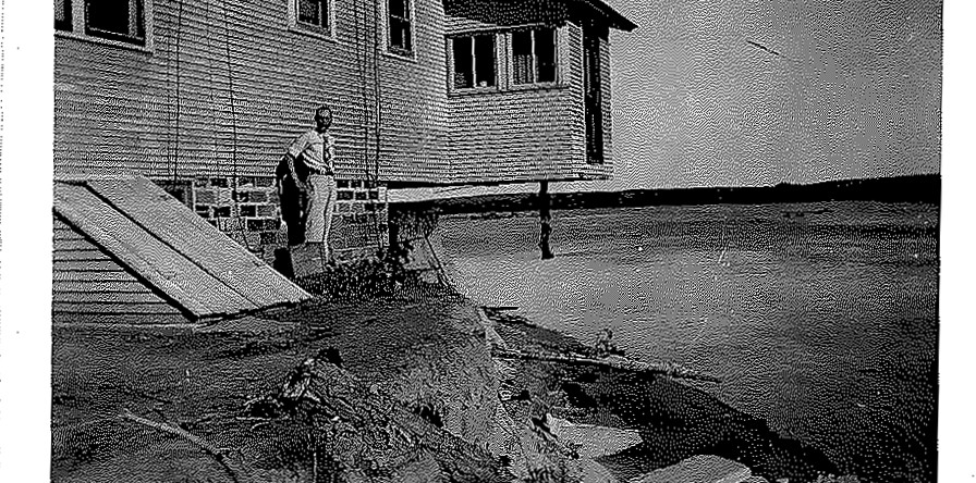
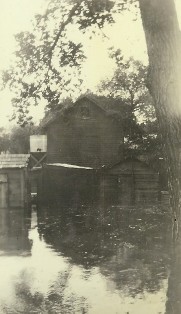
Power Plant after the flood.
|

Damage after the water receeded.
|

The west side of the old portion of the plant. Note the two cinder cars that were overturned by the water and which later diverted the heavy current from the wall. The men spend themajority of their time on this roof while marooned.
|
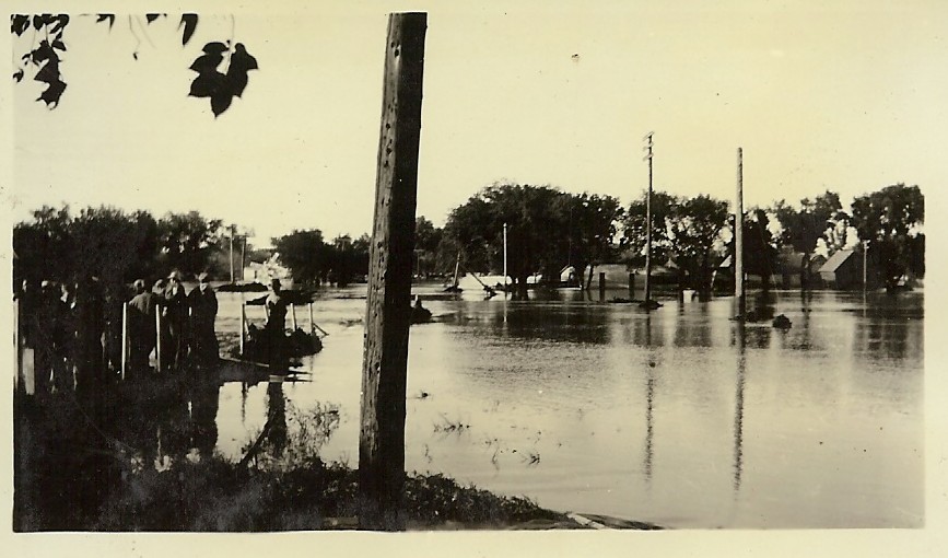
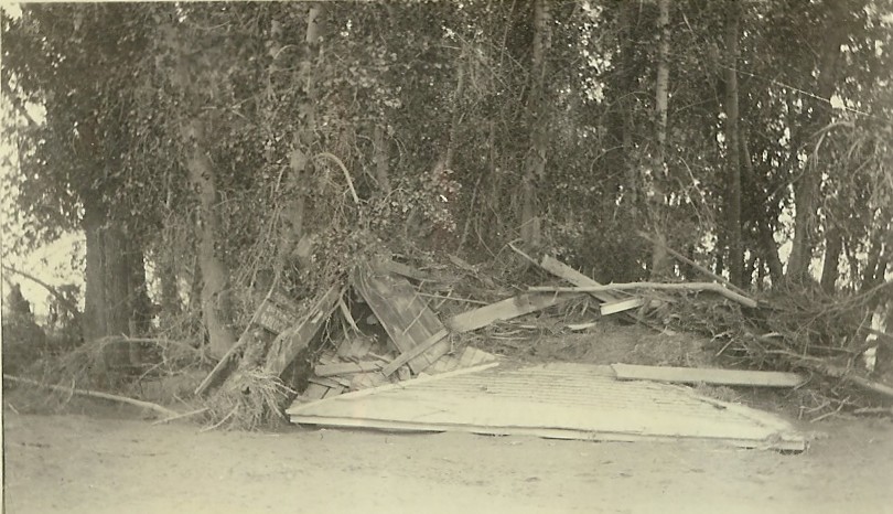
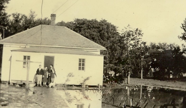
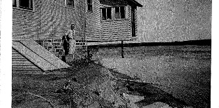
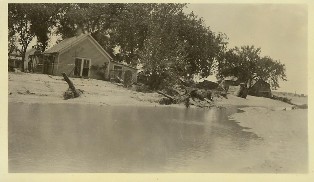
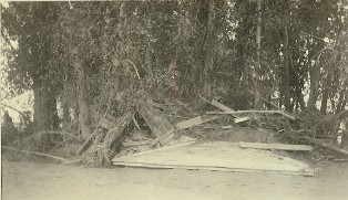
Located south of the current Barnett Park
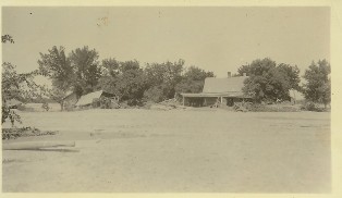
Lucille Edwards, South of Benkelman, NE
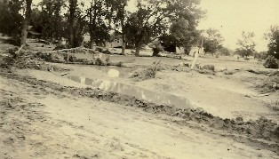
Mary Sherk
|

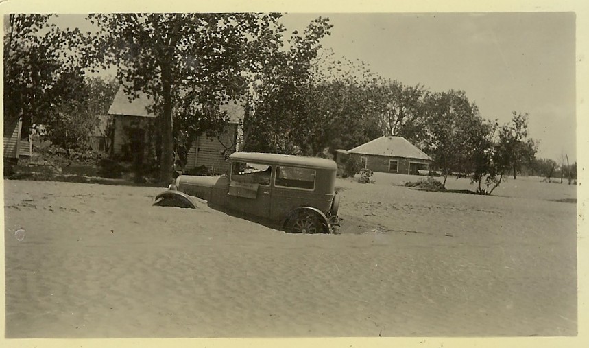
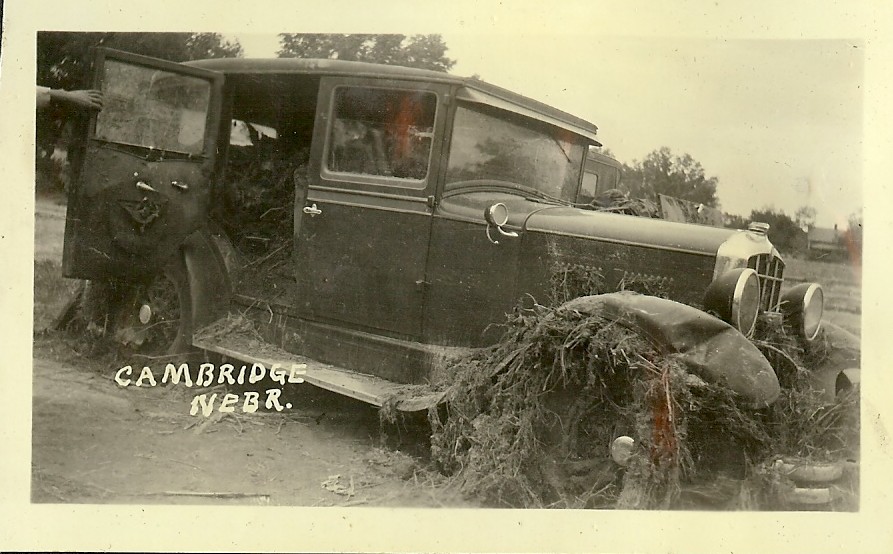
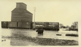
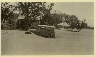
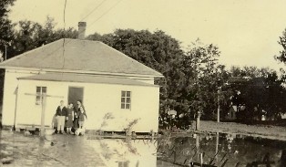
Flooded car
|

McCook Light and Power Plant
|

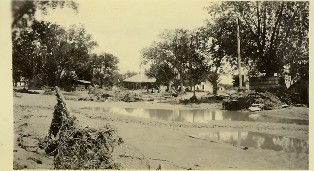
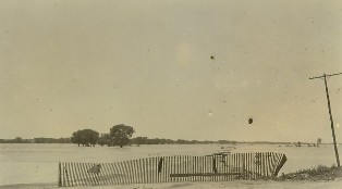
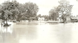
Flood Damage at Trenton, NE
|
|

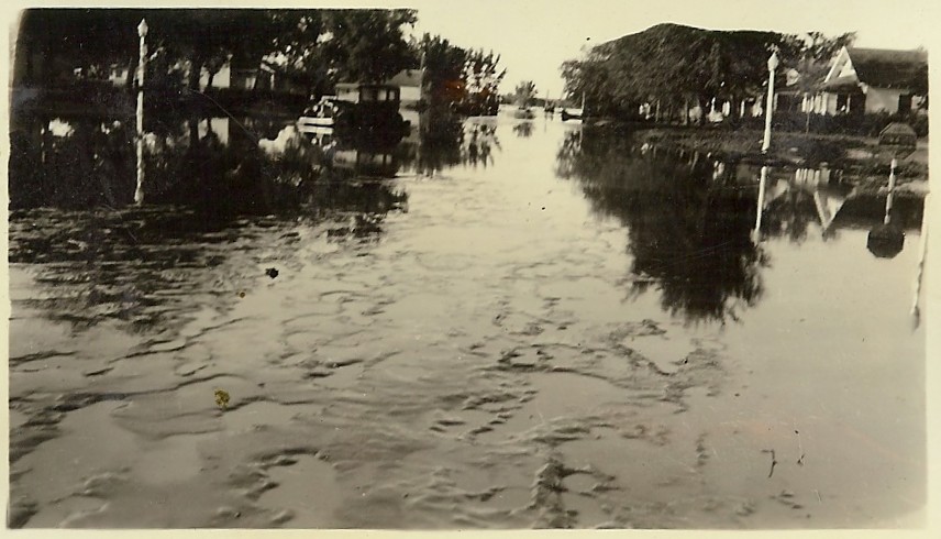
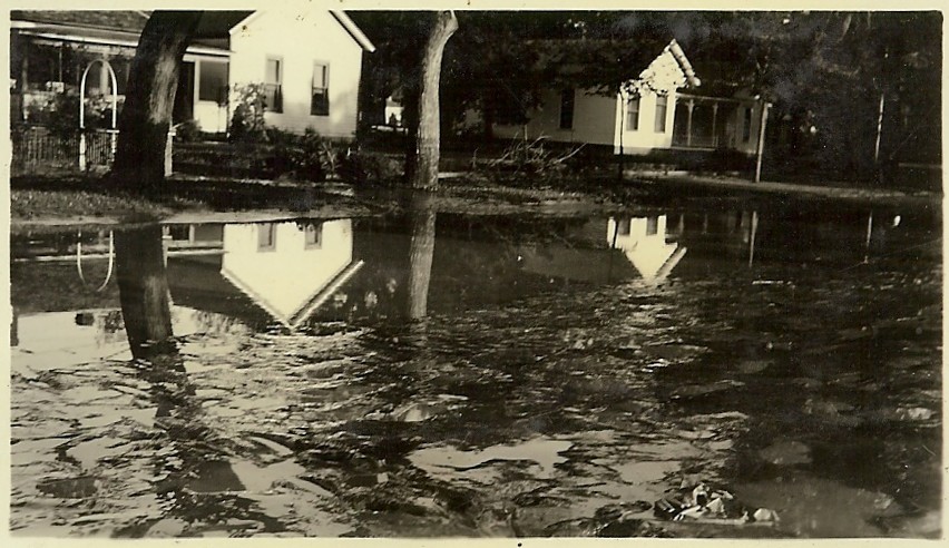
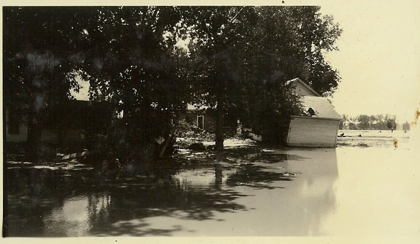
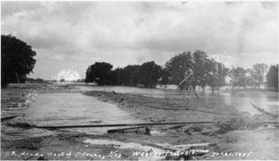
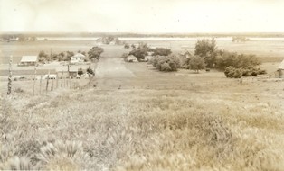
McCook, NE
|

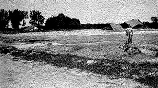
Nebraska Dust Storm
|

|
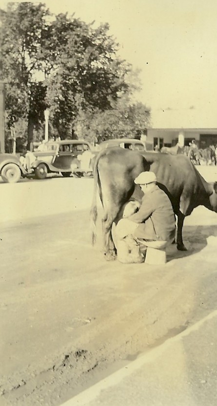
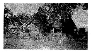
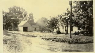
Ravenswood Dairy
|

|

|

|
| |

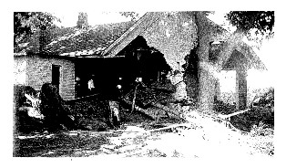
The back of the photo reads: "This was taken after the flood had receded. The man is pointing to the high water mark as you can see it was deep as that is the big barn. They found Bill’s body and the hired man down by the narrows. Mrs. Miller, one of the children and her sister were found near Bartley. 2 of the children they haven’t found. Leaving knowing four in the family drowned."
|
|
Linda Hein/Nebraska State Historical Society
Cathy Weber, Arapahoe, NE
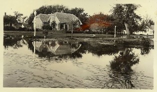
1935 Flood, Arapahoe, NE, Looking East
|
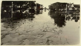
1935 Flood, Arapahoe, NE
|
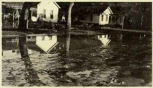
1935 Flood, Arapahoe, NE
|
1935 Republican River Flood Damage at Arapahoe, NE
|
Arapahoe Mill 1935 Flood
|
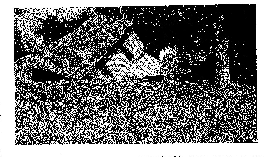
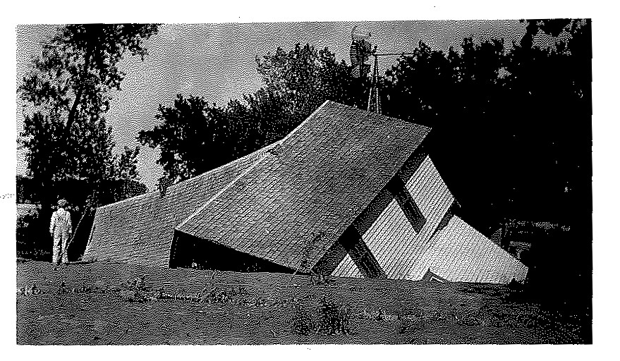
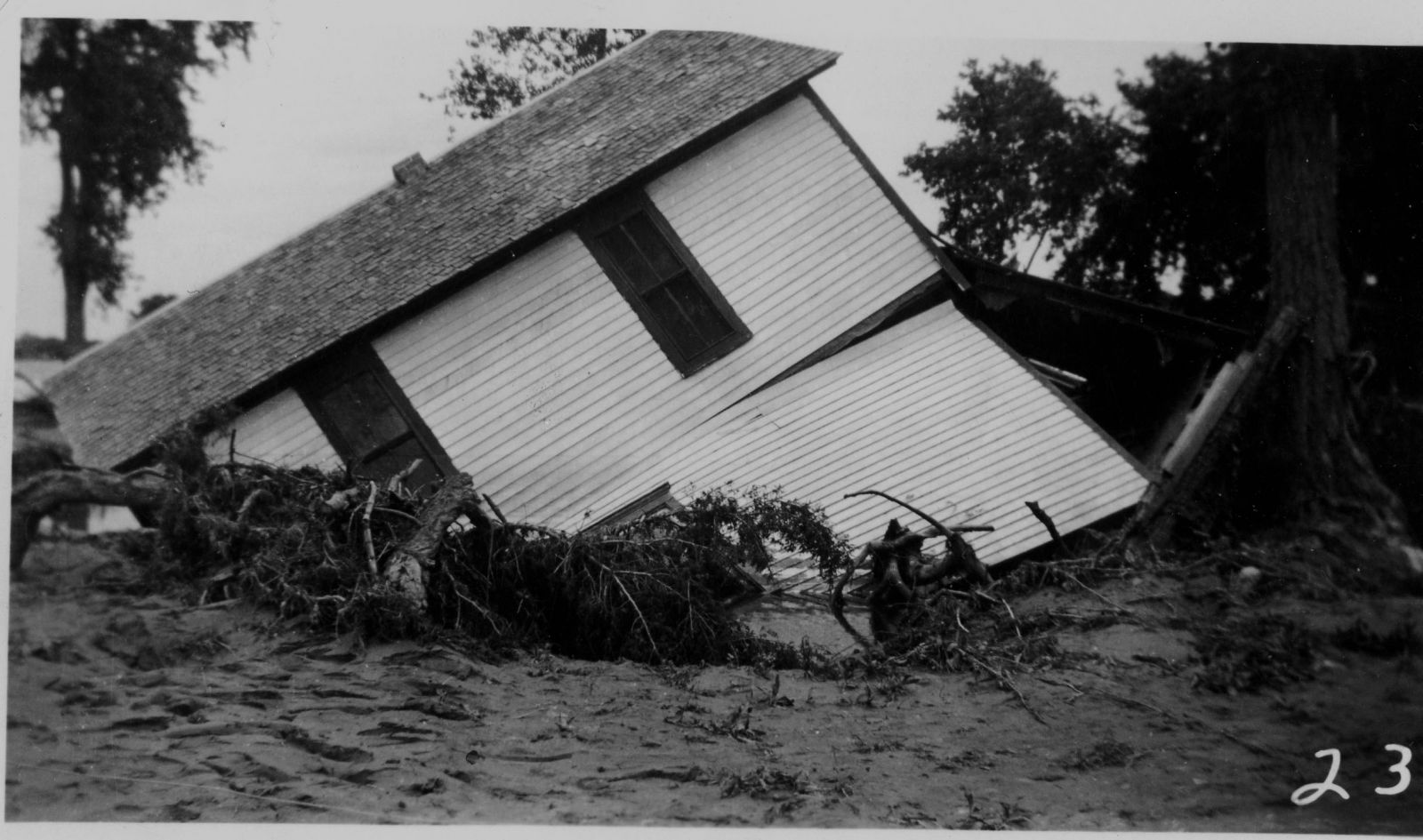
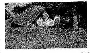
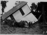
Charles Hasty House Collapsed After Photo Taken, Arapahoe, NE
|
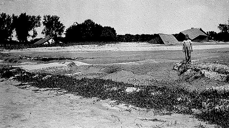
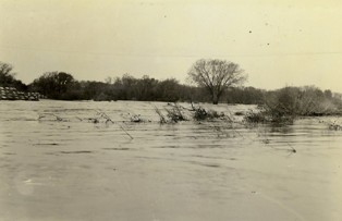
Flood Waters 1935 Looking South, Arapahoe, NE
|
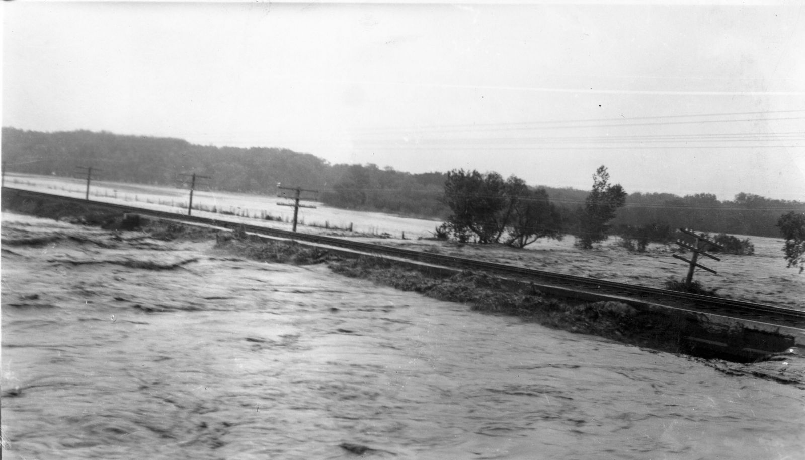
Flood Waters 1935 on Republican River Looking West, Arapahoe, NE
|

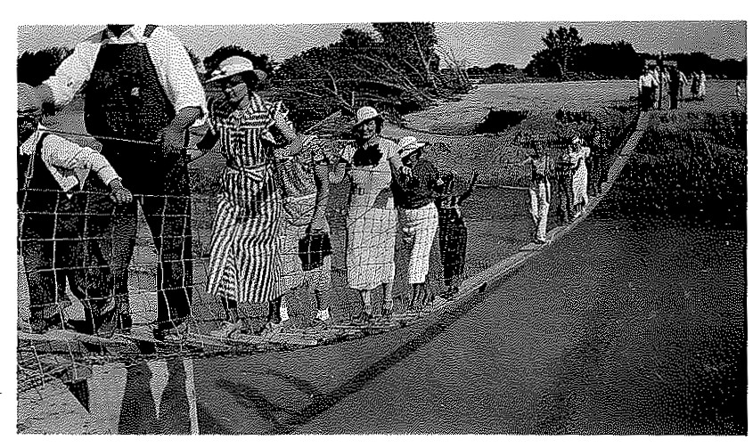
Foot Bridge over Muddy Creek, 1935 Flood, Arapahoe, NE
|
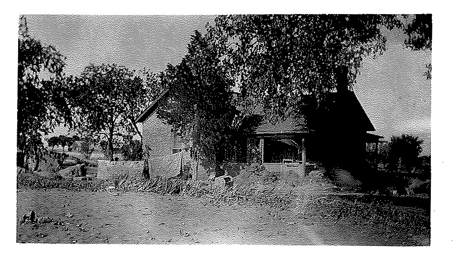
Livingston Home 1935, Arapahoe, NE, North of River Bridge
|
Livingston House after 1935 Flood, Arapahoe, NE
|
Livingston Place, Arapahoe, NE, 1935 Flood
|
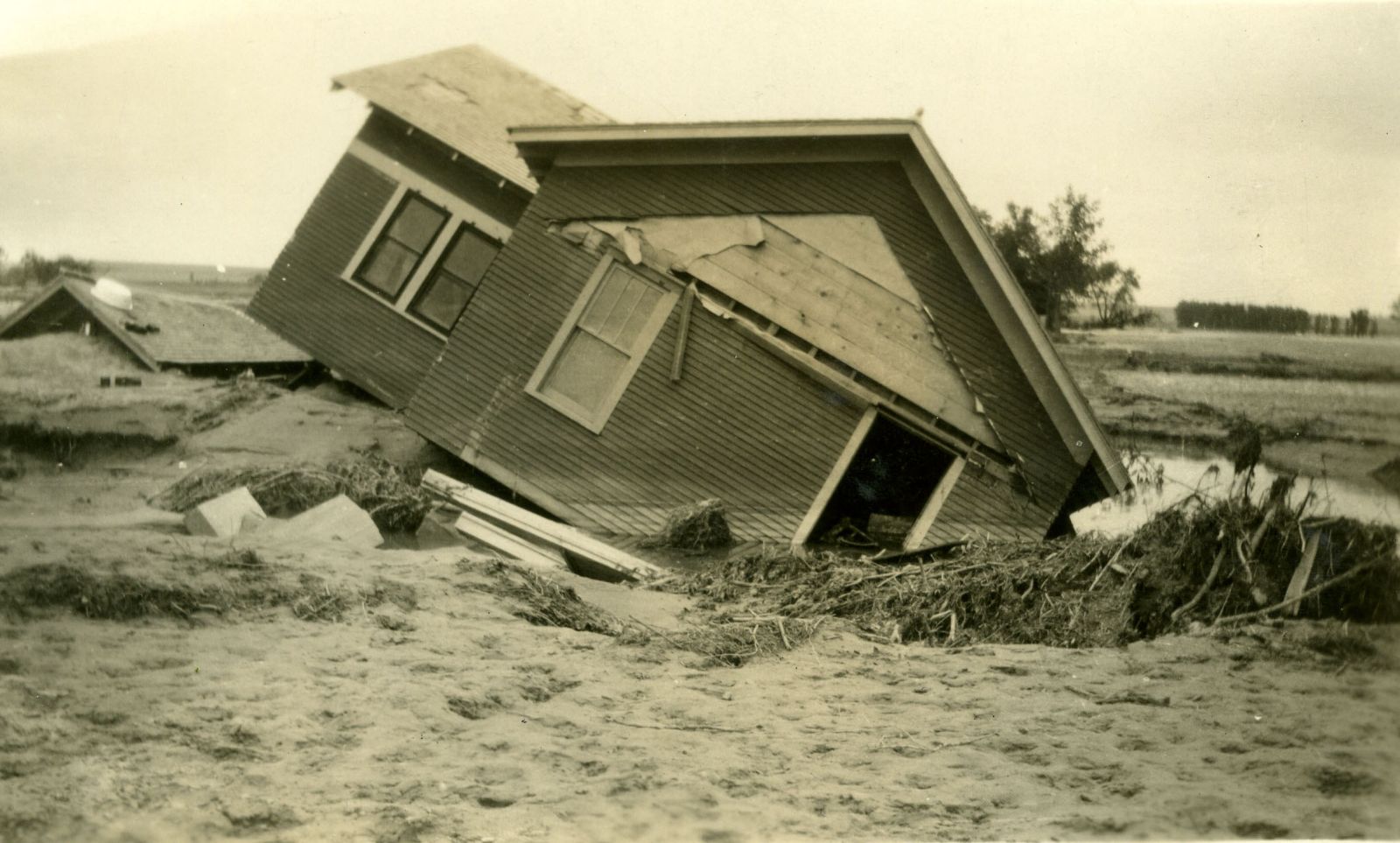
Mrs. Potts House, 1935 Flood, Arapahoe, NE
|
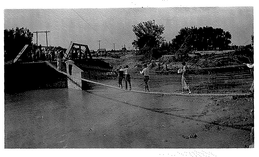
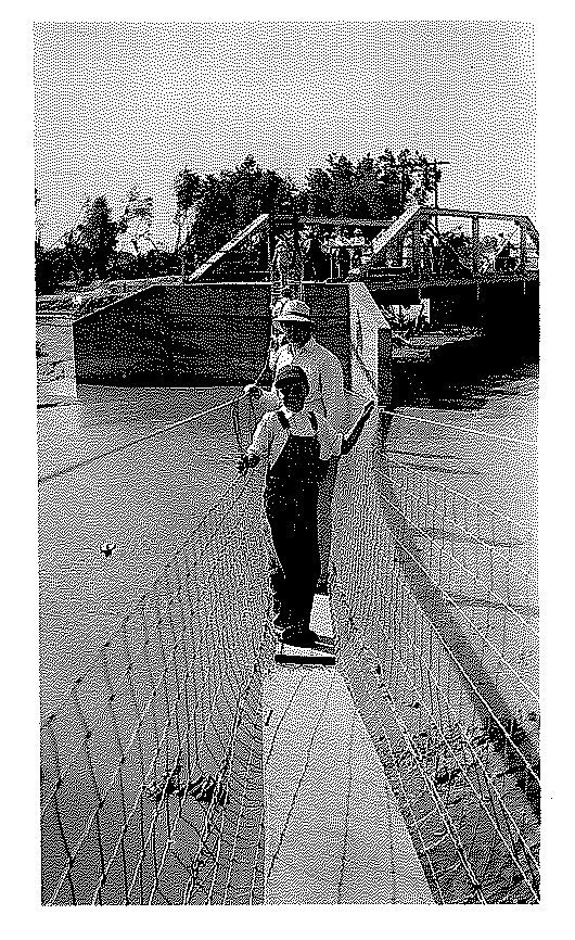
Post 1935 - Temporary Foot Bridge, Arapahoe, NE
|
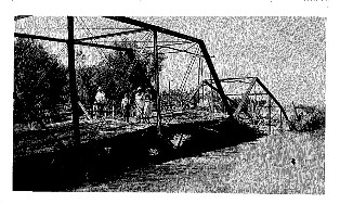
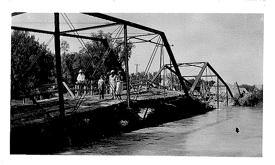
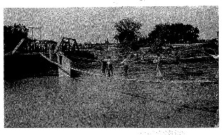
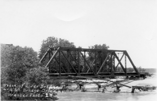
Wreckage of River Bridge, Arapahoe, NE, 1935
|
| |
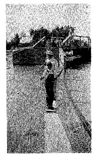
Pedestrian Crossing - Ralph Cox and Roland Emmett, Arapahoe, NE
|
|
Dennis Wiesen, McCoy Ranch near the Arickaree in Colorado
|
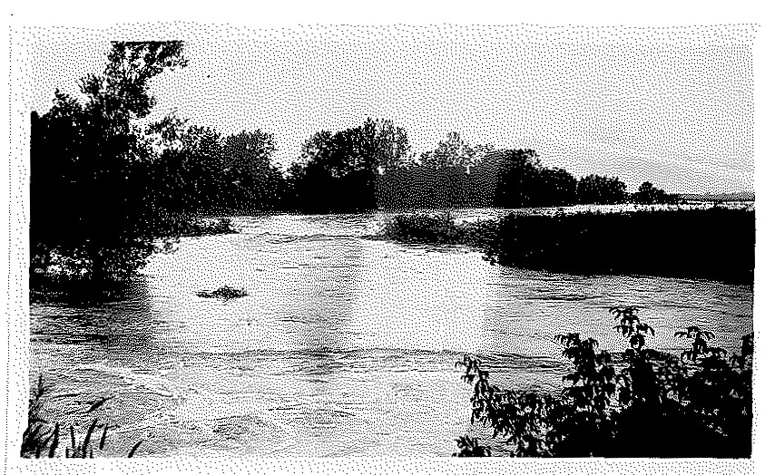
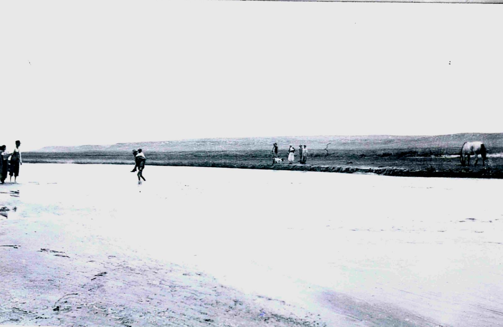
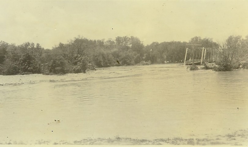
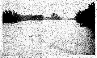
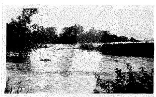
1935 Flood - Arickaree River
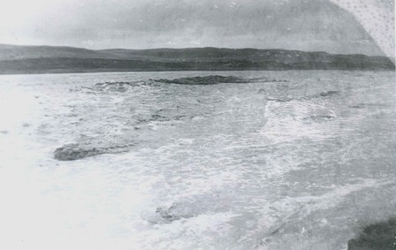
Photo was taken 1/4 mile north of McCoy Ranch mailbox looking west-northwest. River is 1/2 mile wide and dark spots are whirlpools - you could hear them.
|
1935 Flood - Arickaree River
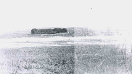
Photo was taken 1/4 mile north of McCoy Ranch mailbox looking southwest.
|
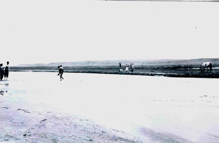
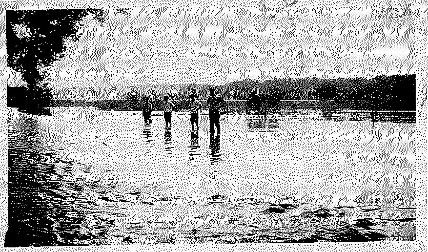
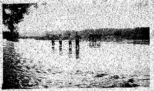
Arickaree River 1935 Flood
Leo McCoy carrying people across river, horses would sink in the quicksand.
|
Joe Torrey, Alma, NE
"contributor of photos for reference only"
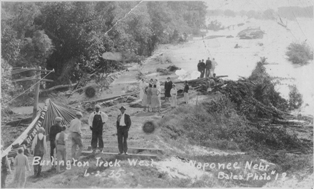
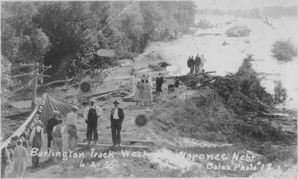
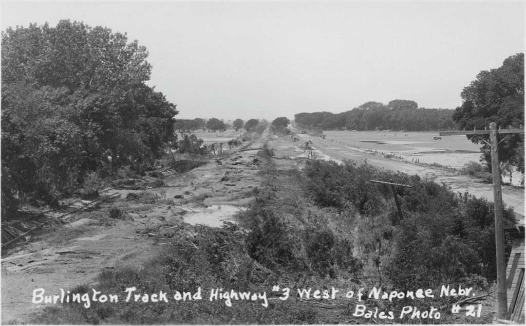
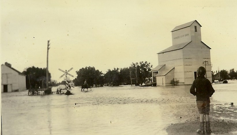
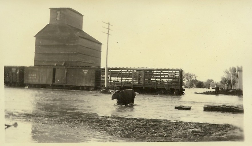
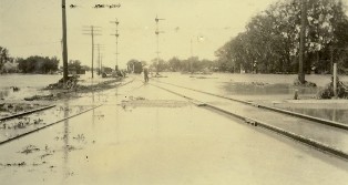
Burlington Track, Naponee, NE.
|

Burlington Track, Naponee, NE.
|
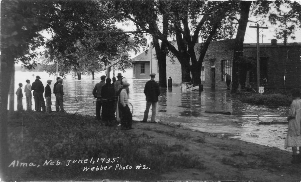
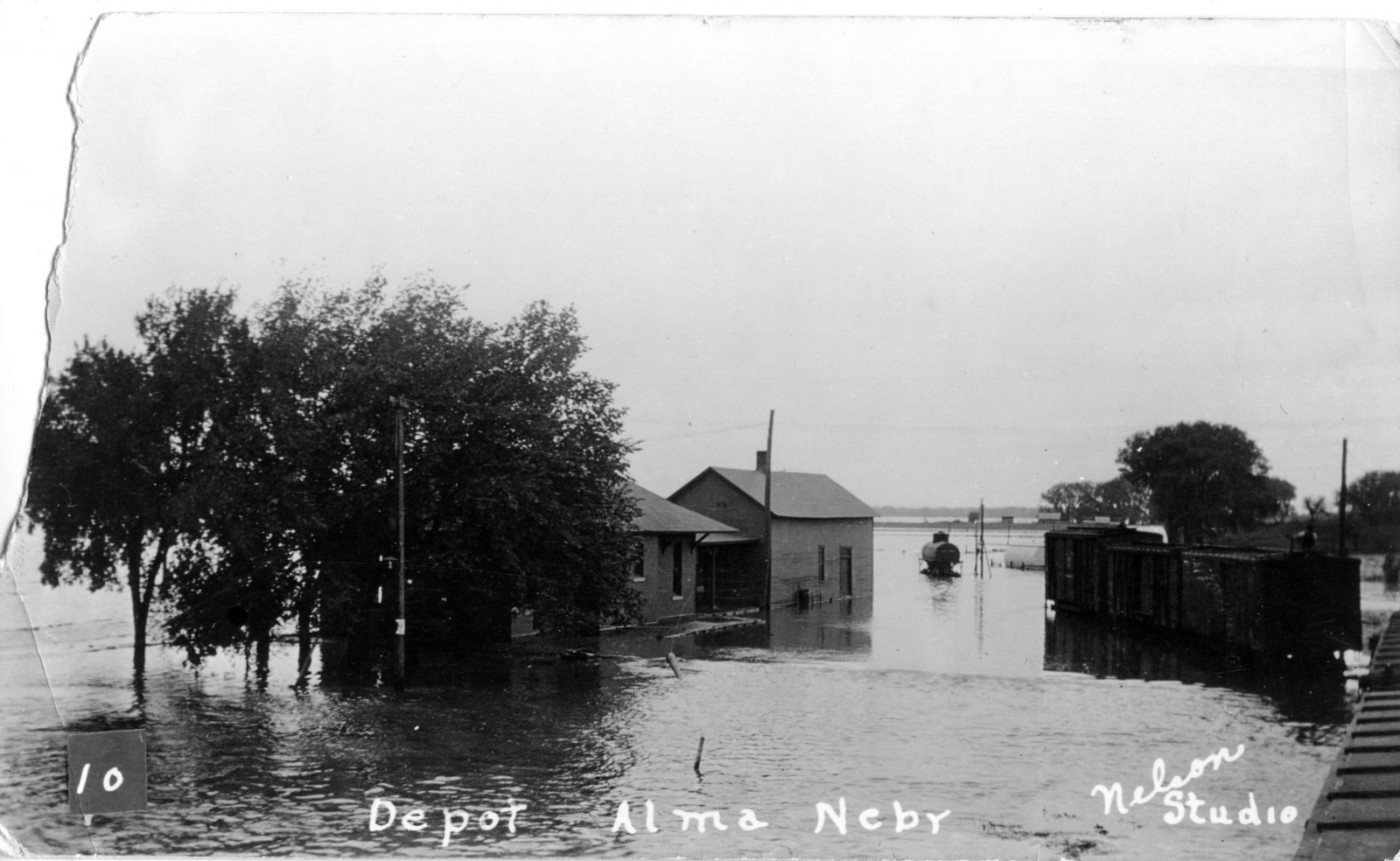
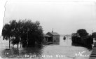
Depot at Alma, NE.
|

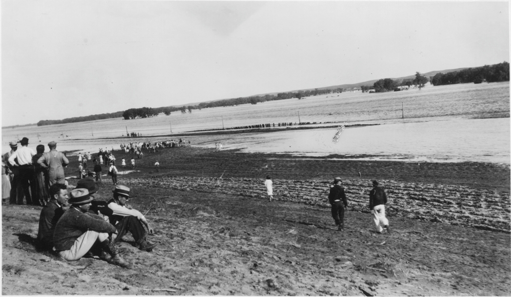
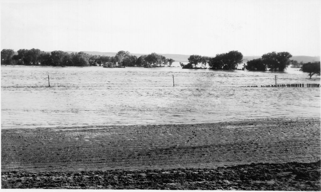
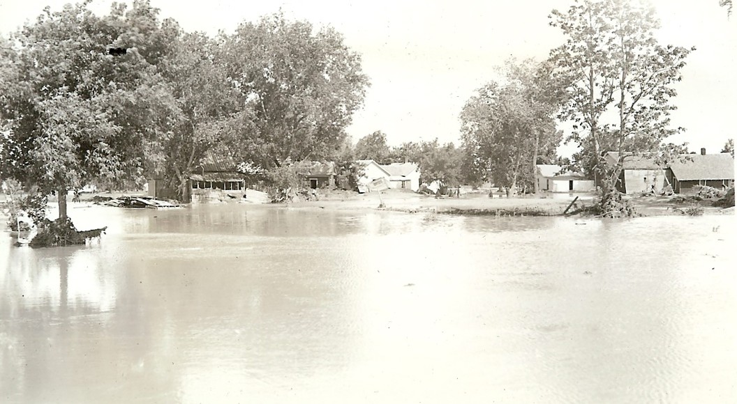
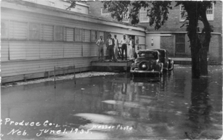
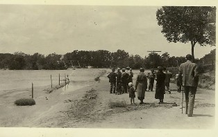
Flood at Alma, NE.
|
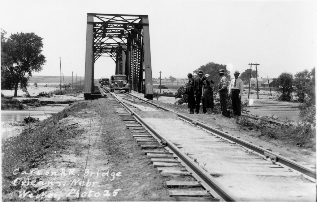
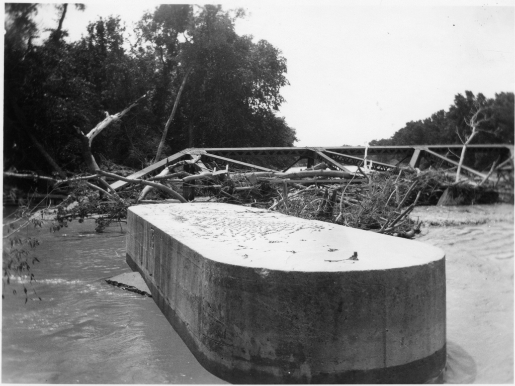
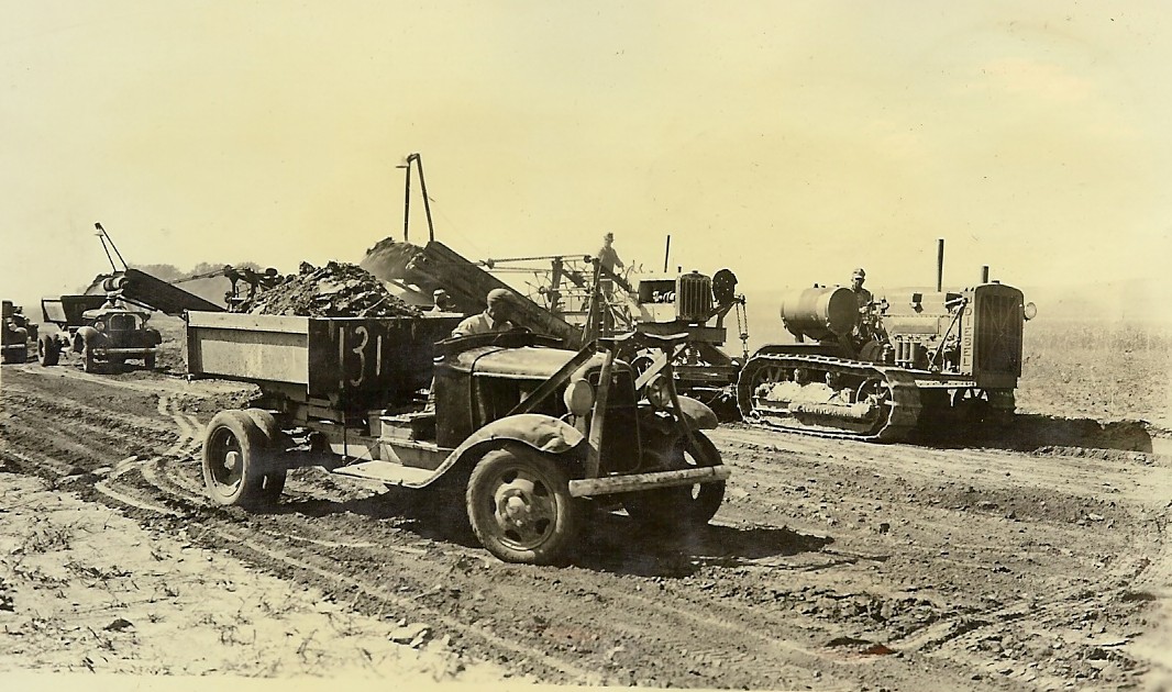
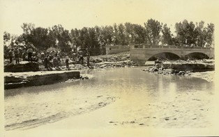
Carson Bridge at Orleans, NE.
|
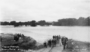
Ekberg Farm, Alma, NE.
|
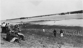
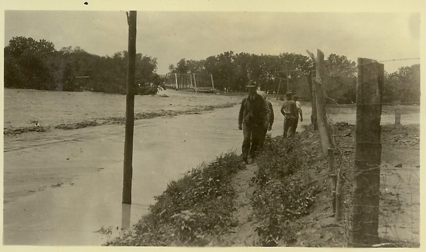
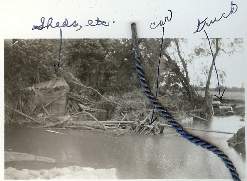
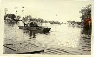
Ekberg Rescue, Alma, NE. Ekberg rescue site with "Louisiana swamp boat". Approximately three miles west of present day bridge.
|
Ekberg Rescue, Alma, NE. Ekberg rescue site with "Louisiana swamp boat". Approximately three miles west of present day bridge.
|
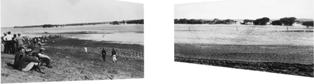
Ekberg Rescue Panoramic, Alma, NE.
|

Flood at Alma, NE.
|
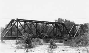
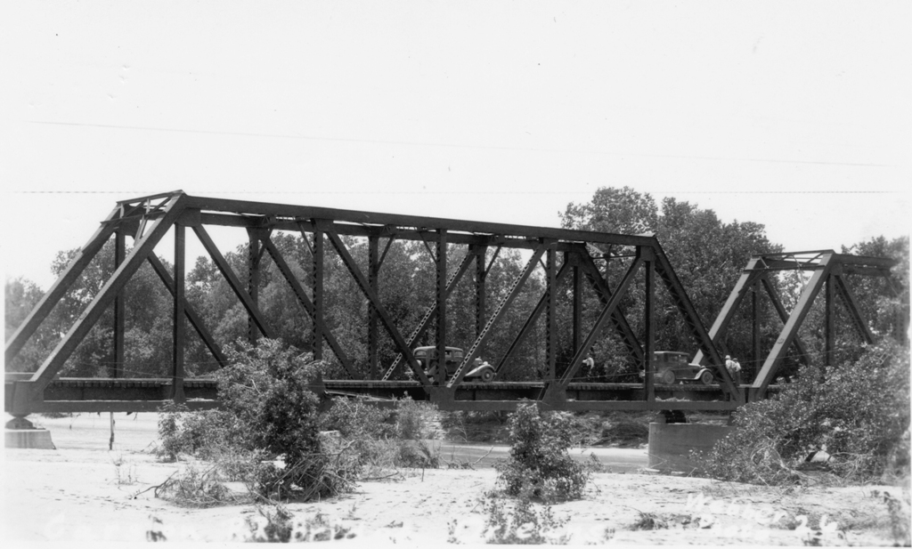
Bridge at Alma, NE.
|
Bridge at Alma, NE.
|
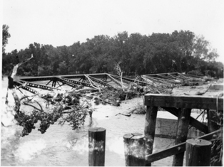
Bridge at Alma, NE.
|
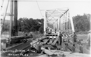
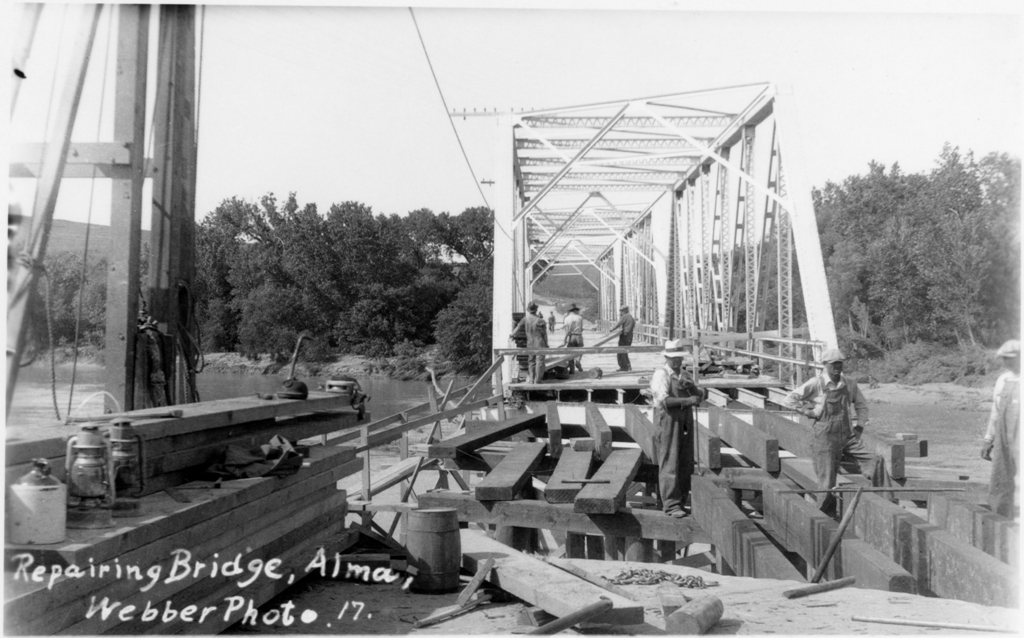
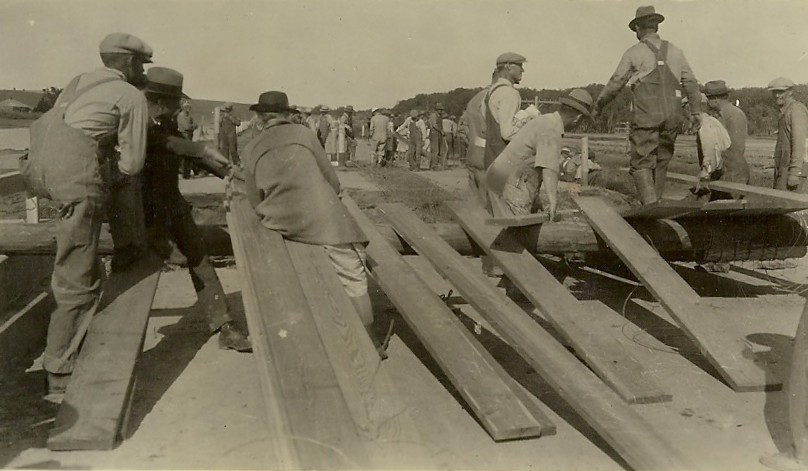
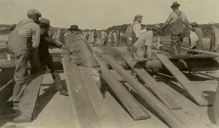
Bridge being repaired at Alma, NE.
|
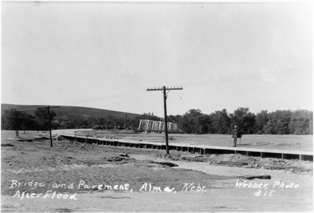
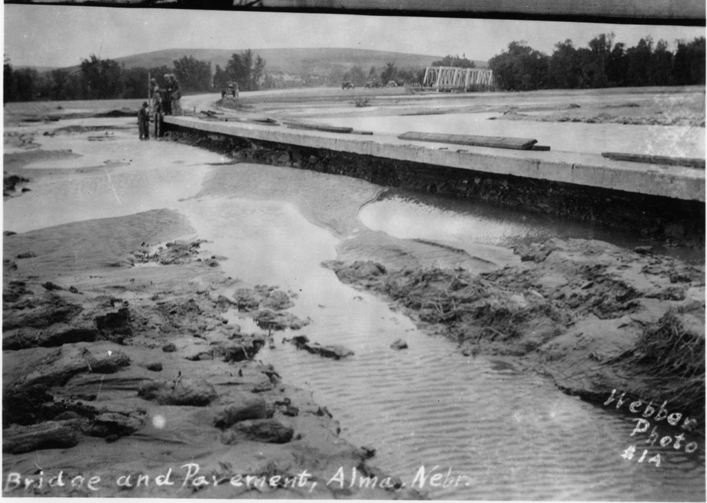
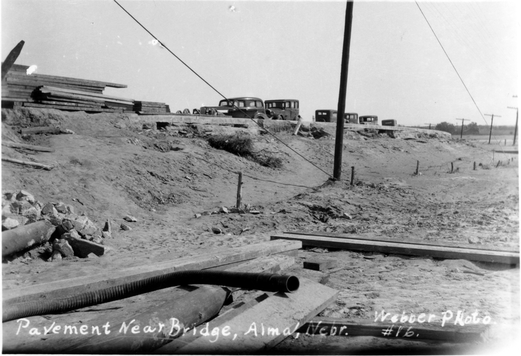
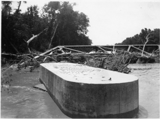
Bridge and pavement at Alma, NE.
|
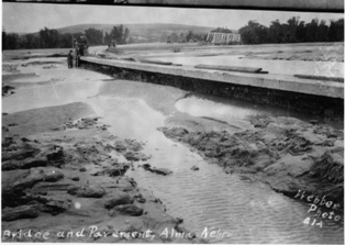
Bridge and pavement at Alma, NE.
|
 x x
Bridge and pavement at Alma, NE.
|
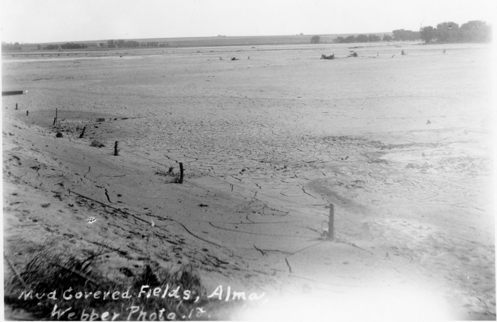
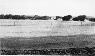
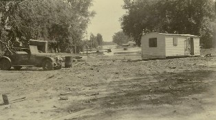
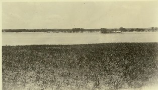
Mud covered fields at Alma, NE.
|

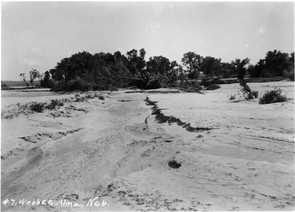
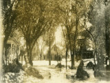
Alma, NE.
|

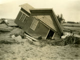
House at Alma, NE.
|

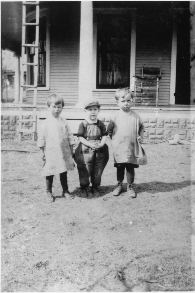
Kids at Alma, NE.
|

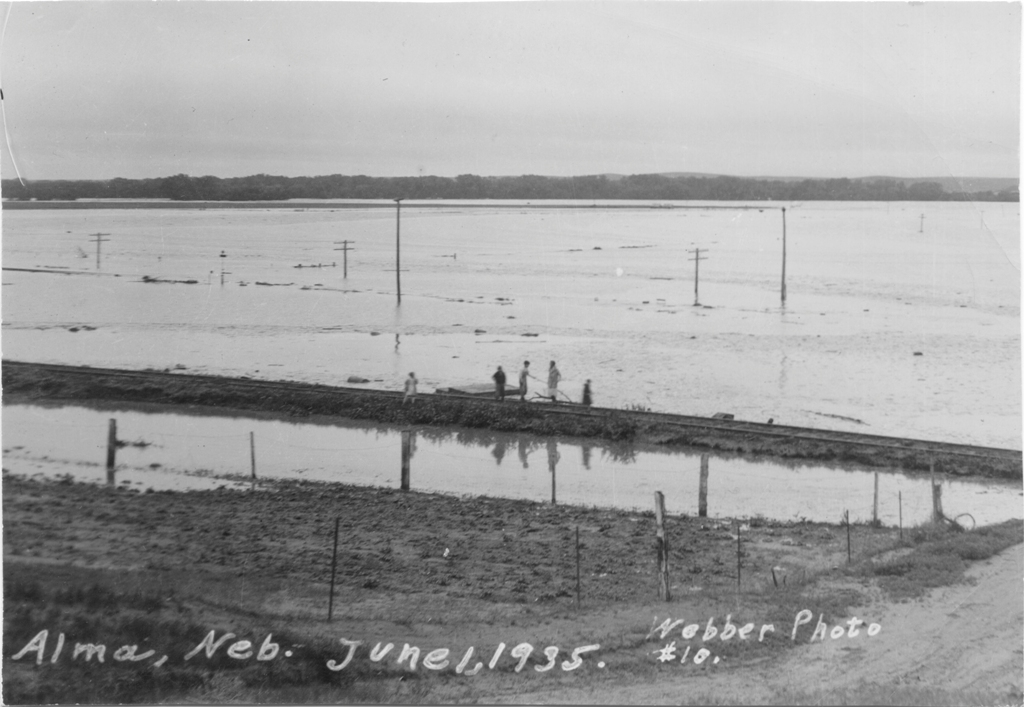
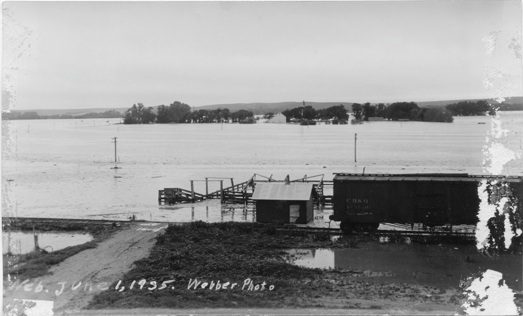
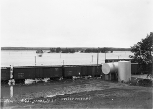
Railcars at Alma, NE. June 1, 1935.
|

Railcars at Alma, NE. June 1, 1935.
|
Railcars at Alma, NE. June 1, 1935.
|
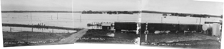
Panoramic Railcars at Alma, NE. June 1, 1935.
|
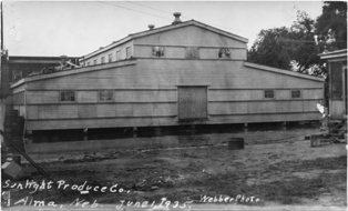
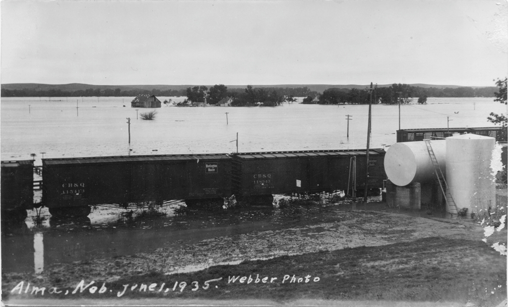
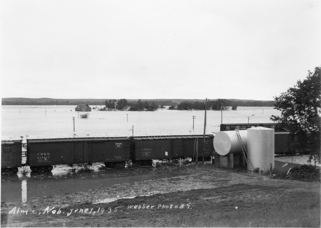
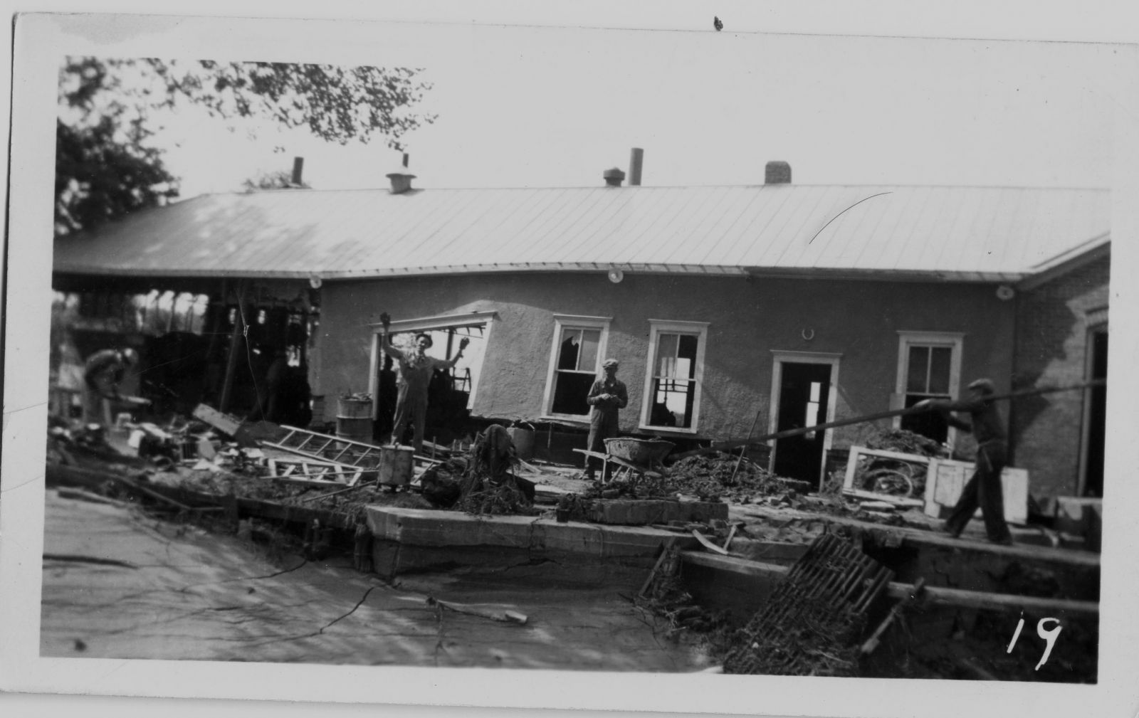
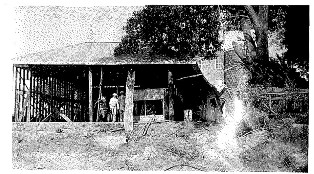
Sunlight Producer Company at Alma, NE. June 1, 1935.
|
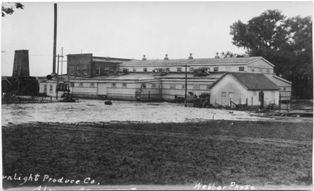
Sunlight Producer Company at Alma, NE. June 1, 1935.
|
Sunlight Producer Company at Alma, NE. June 1, 1935.
|
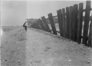
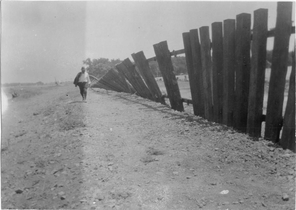
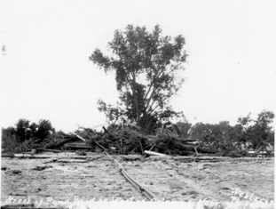
Twisted Railroad.
|
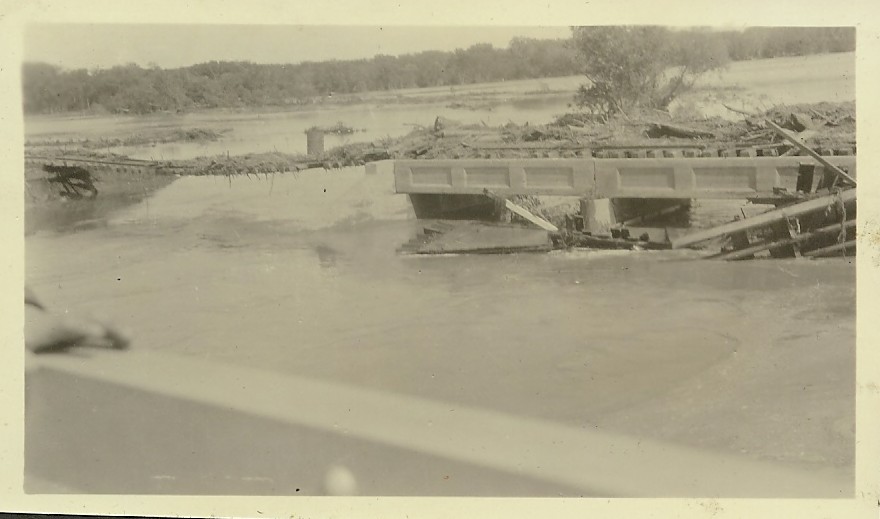
Wreck of Pond Bridge west of Orleans, NE.
|
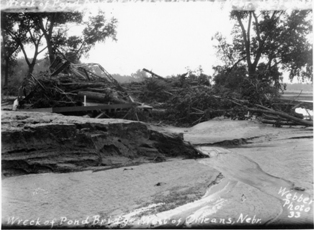
Wreck of Pond Bridge west of Orleans, NE.
|
Railroad at Orleans, NE.
|
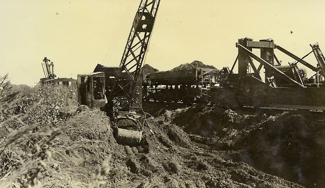
Railroad crane at Orleans, NE.
|
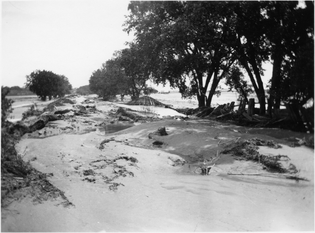
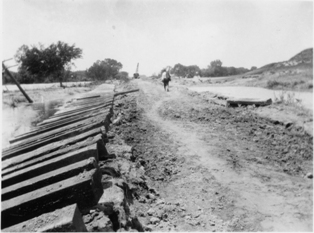
Railroad grade west of Orleans, NE.
|

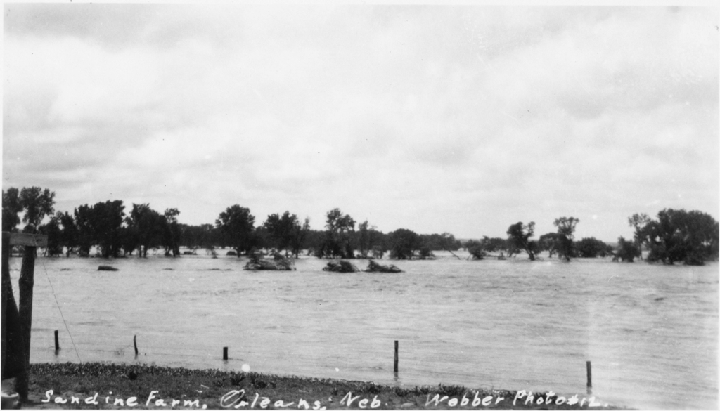
Sandine Farm at Orleans, NE.
|
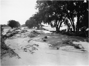
Wreck of Railroad bridge and new Railroad bridge at Orleans, NE.
|
| |
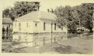
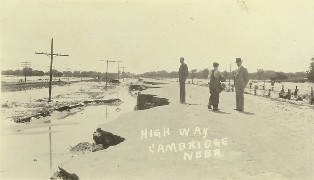
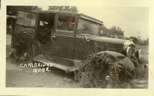
Clinton John, Cambridge, NE
|
6 am June 1, 1935 in Cambridge, NE
|
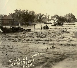
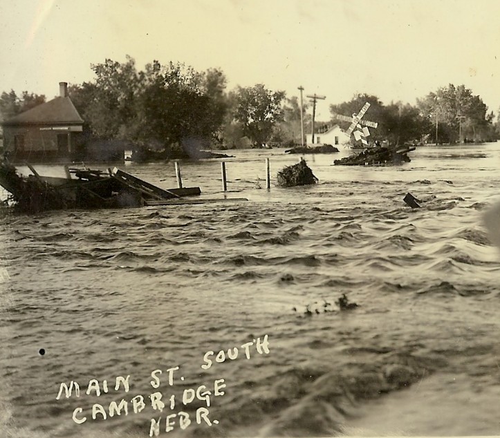
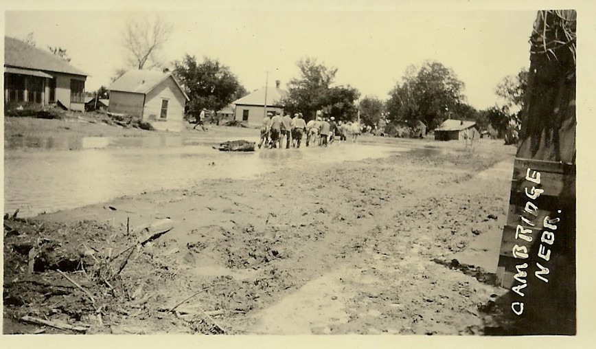
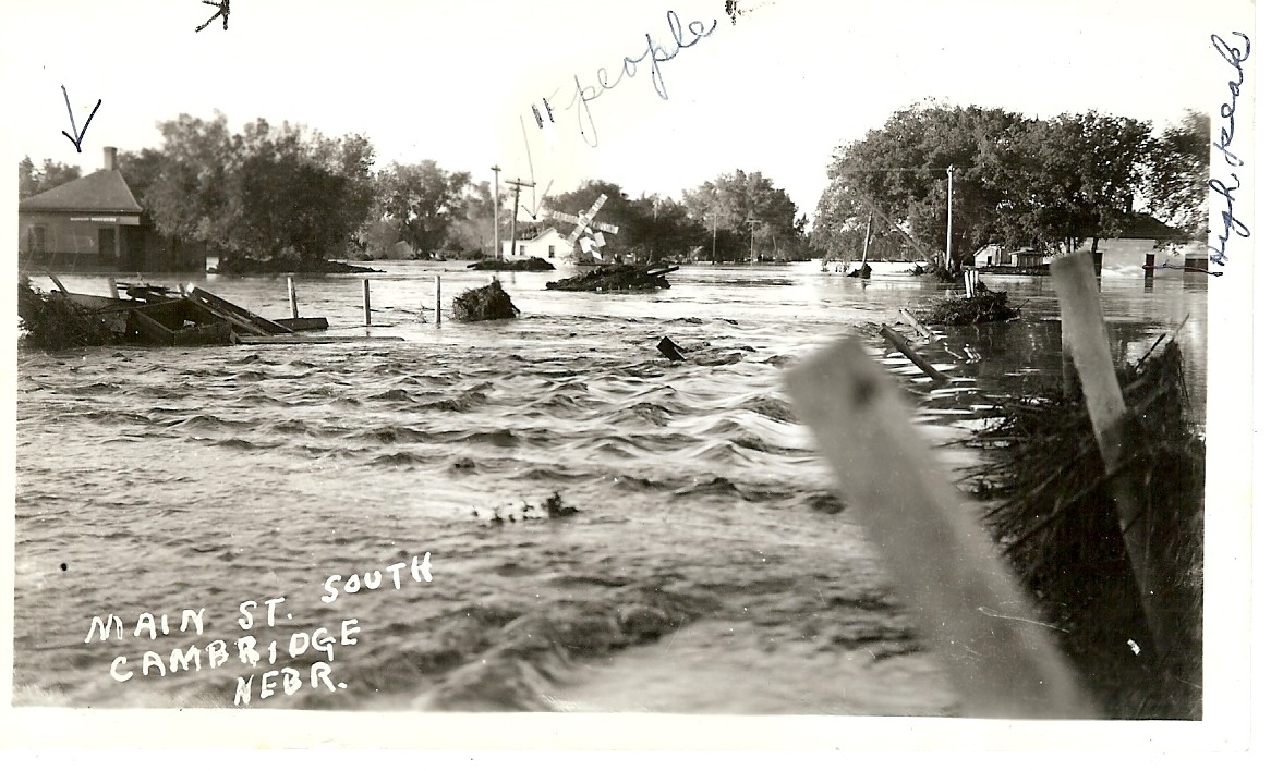
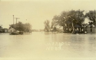
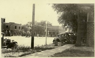
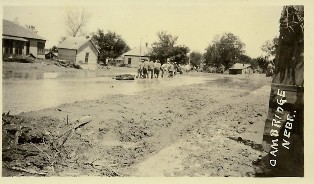
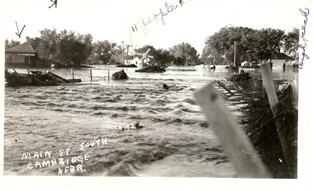
Main Street, South Cambridge, NE
|
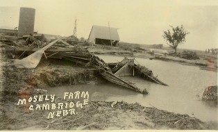
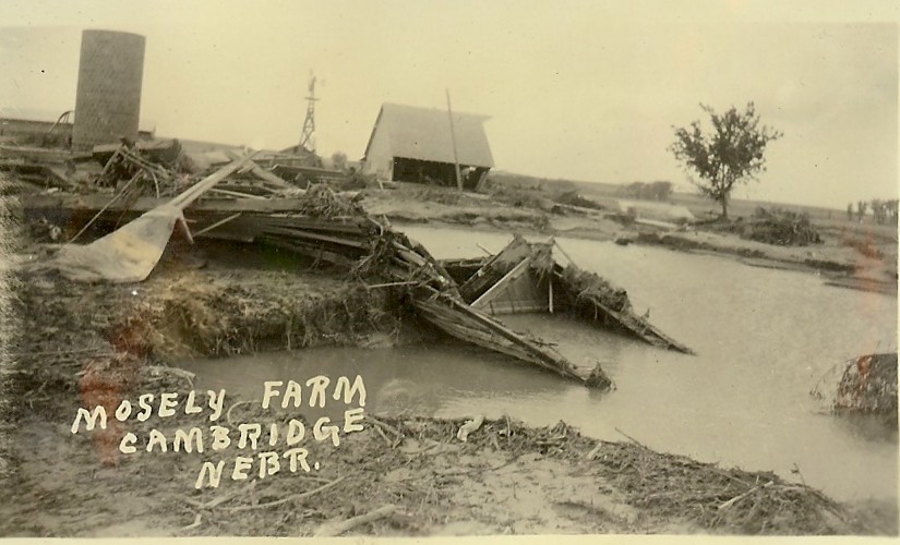
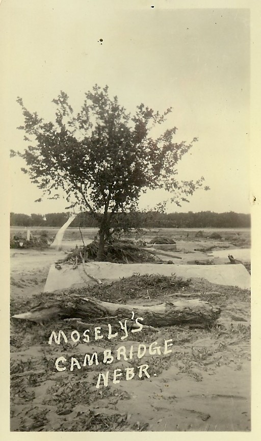
Mosley Farm, Cambridge, NE
|
|
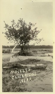
Mosley Farm, Cambridge, NE
|

Back of photo: "Old band shell north of present Post Office. We had band concerts (led by Clint John) every Wednesday night during sumer. Big crowd each concert." Cambridge, NE
|
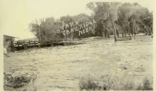
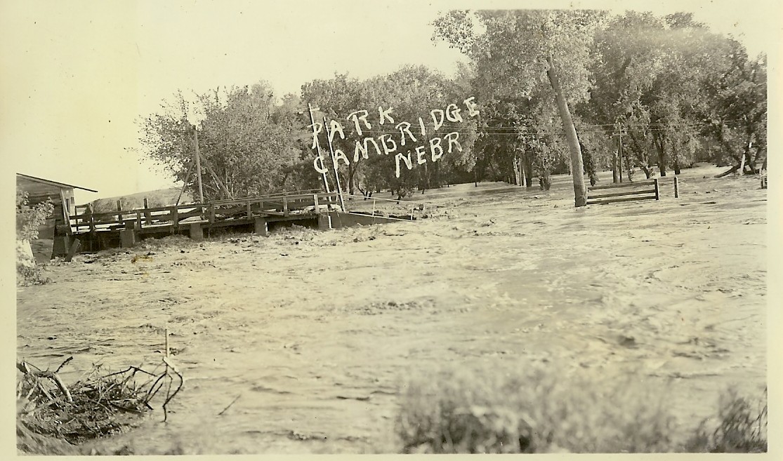
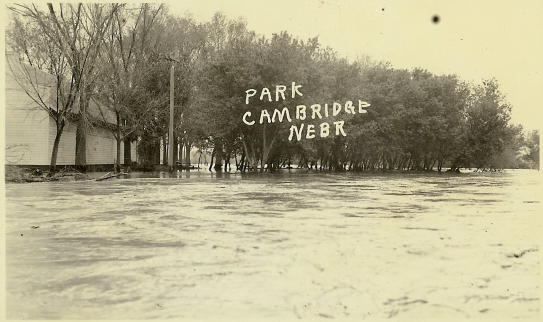
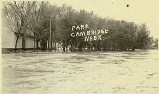
Park at Cambridge, NE
|
|
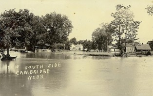
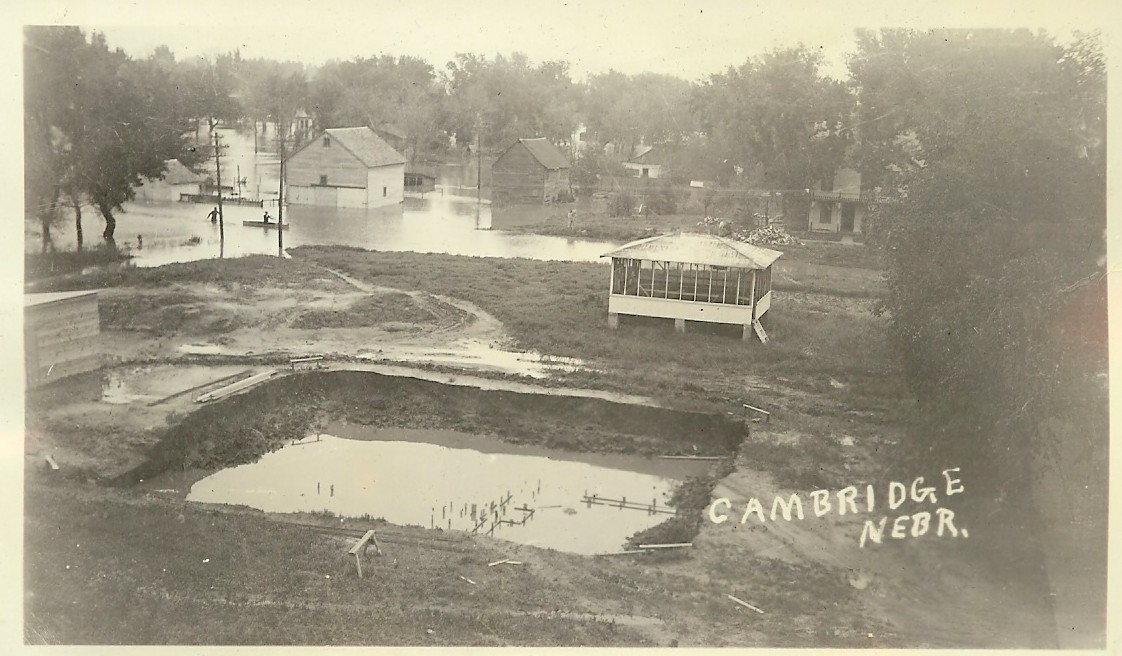
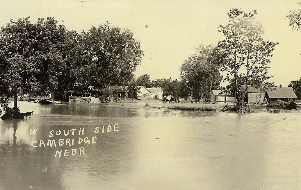
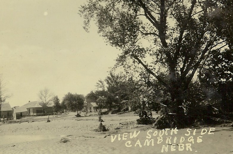
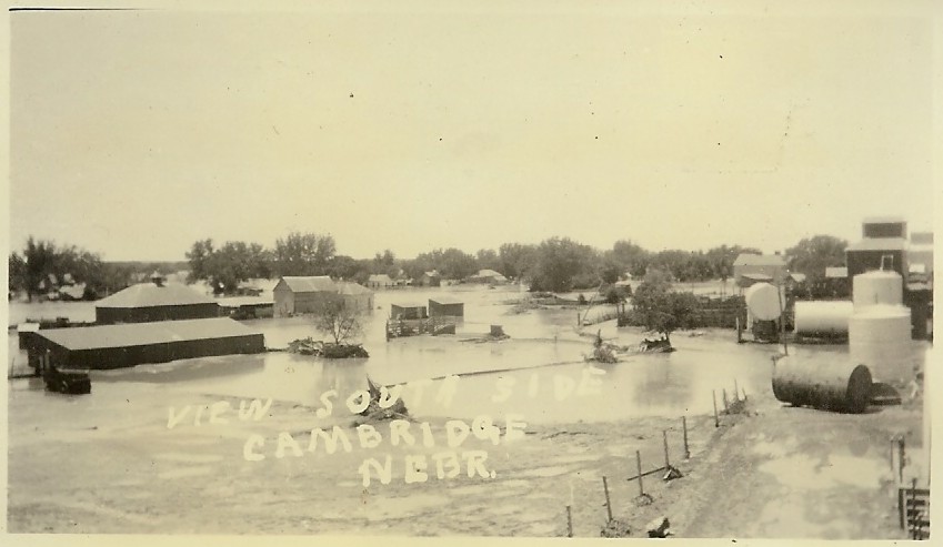
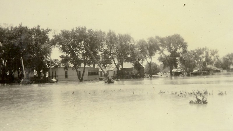
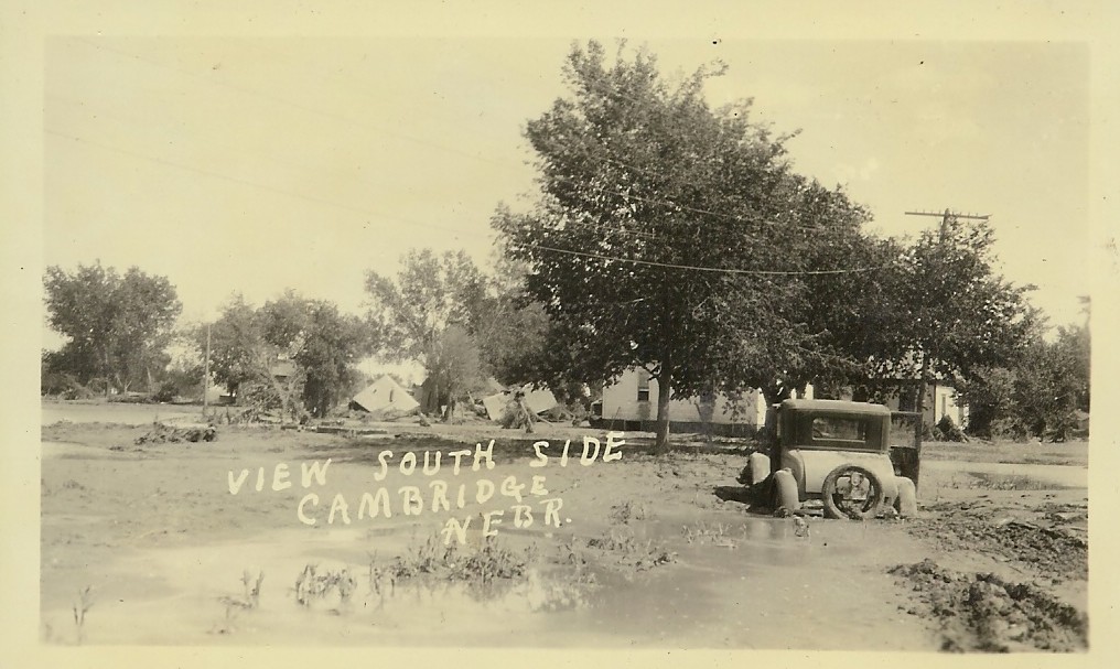
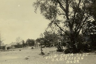
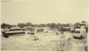
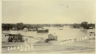
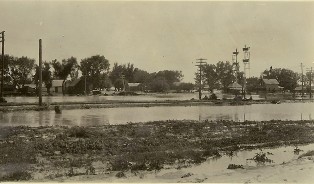
View of South side of Cambridge, NE
|

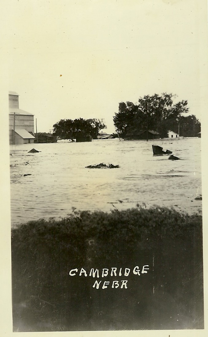
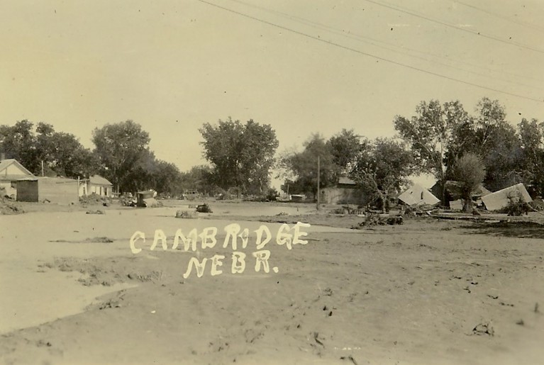
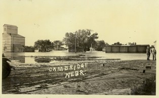
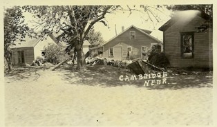
Cambridge, NE
|
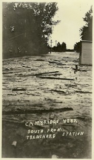
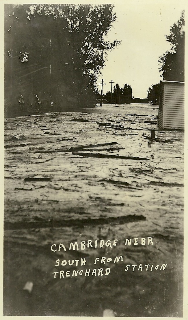
Cambridge, NE, South from Trenchard Station
|
|
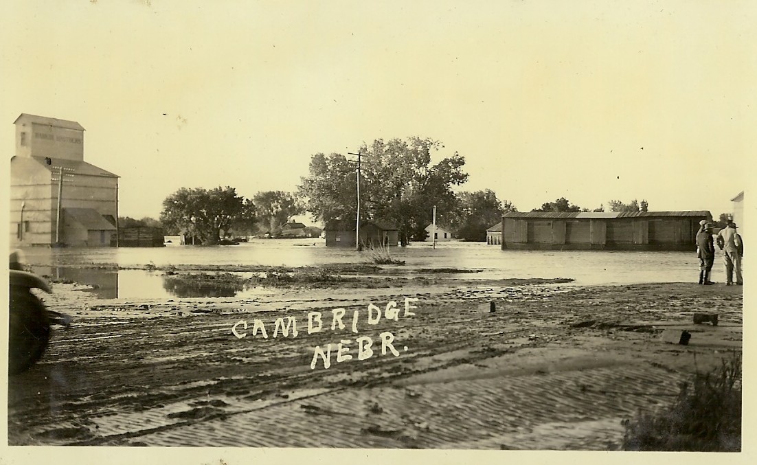
Cambridge, NE
|
|
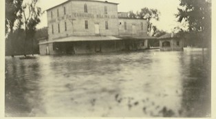
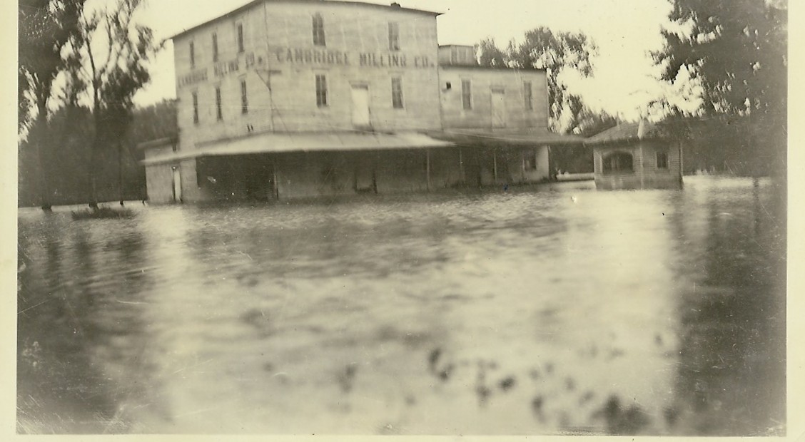
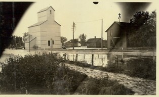
Cambridge Milling Company.
|
|
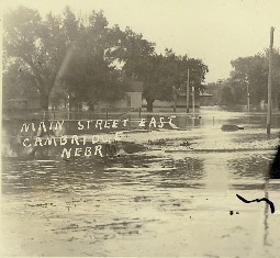
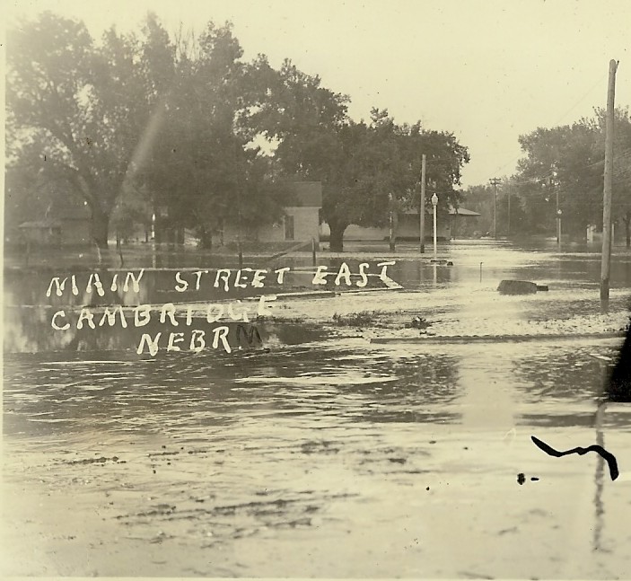
Main Street, East, Cambridge, NE
|
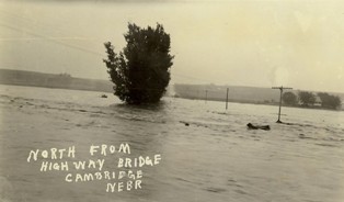
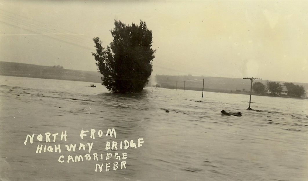
North from Highway Bridge, Cambridge, NE
|
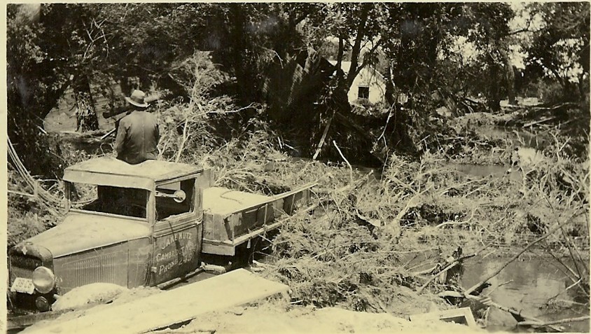
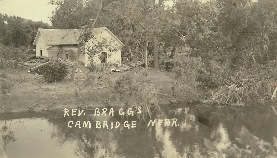
Back of photo: "Men trying to rescue Jake Kutz's truck. The wheels at left is all that was left of this family car. They had to give up and traded the two in the creek for a new truck. The home of Rev. Bragg family was washed in the creek just at the left of this picture. His body has not been recovered."
|
|

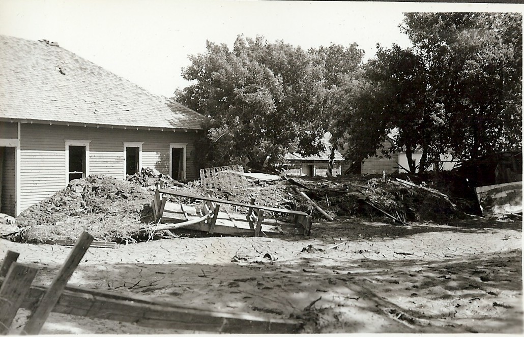
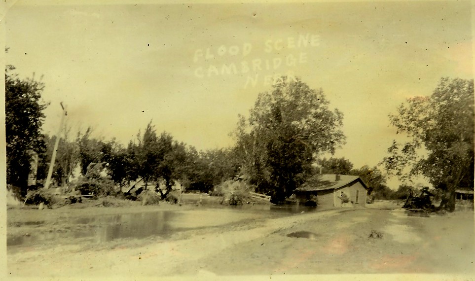
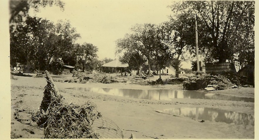
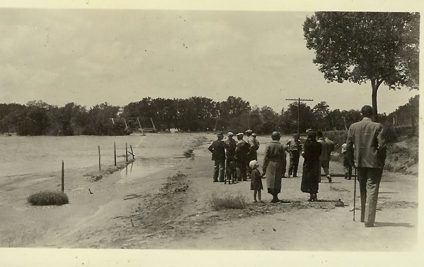
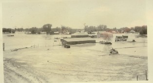
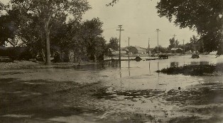
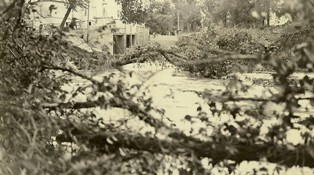
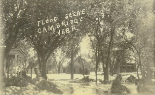
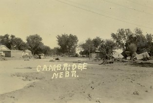
Flood scene, Cambridge, NE
|
View of south side of
Cambridge, NE
|
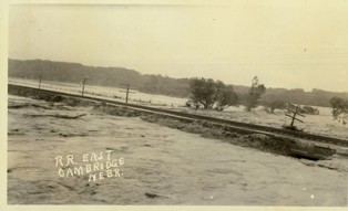
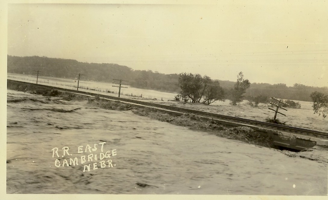
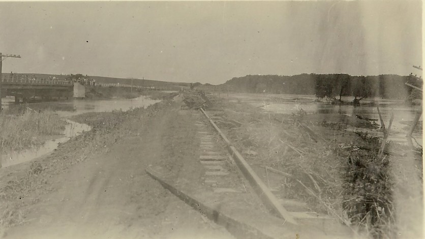
Railroad east of Cambridge, NE
|
|
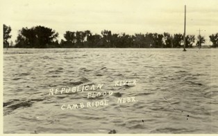
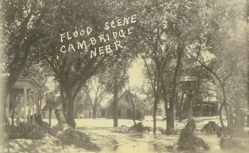
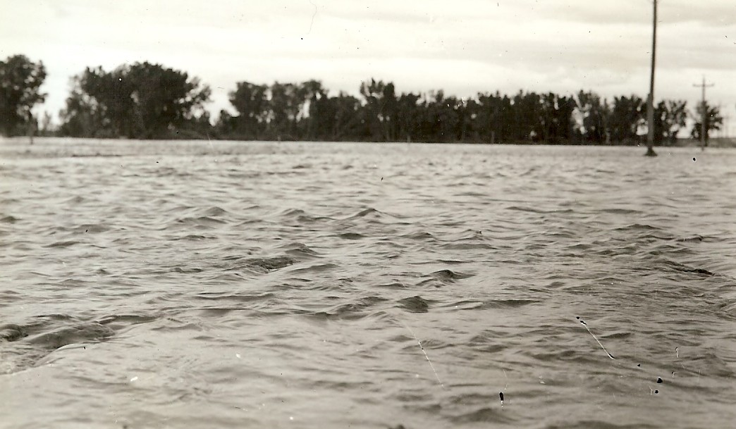
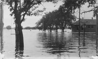
Republican River Flood, Cambridge, NE
|
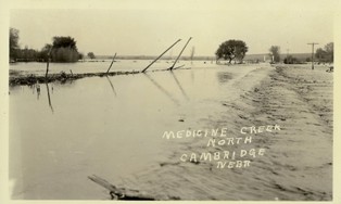
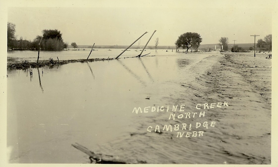
Medicine Creek, north, Cambridge, NE
|
|
|
|
Back of photo: "The new railroad grade east of town cuts right thru those high bluffs east of Geo. Sayers house, goes right thru his yard and barn (which has been razed) then southwest where it joins the old track 1 mile east of town. The Holbrook depot had to be moved."
|
|
|

|
|
|
|
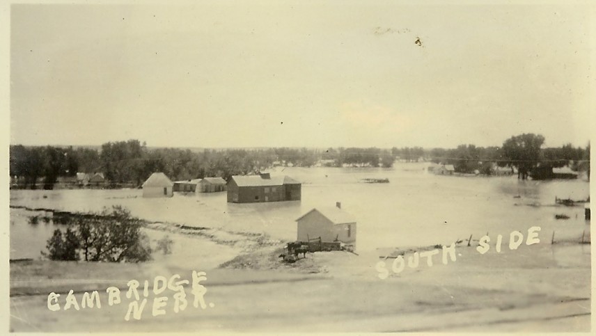
View south side Cambridge, NE
|
South side, Cambridge, NE
|
|
|
|
|
|
|

.
|
.
|
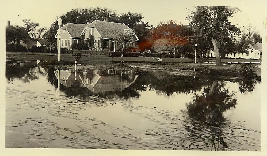
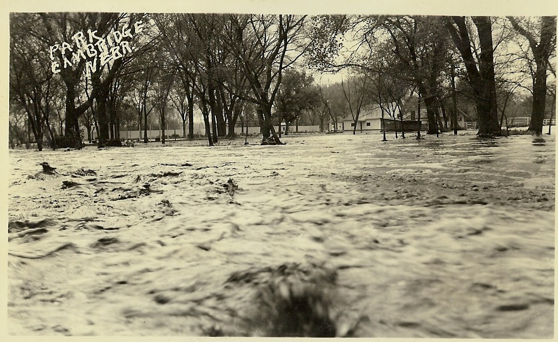
Park at Cambridge, NE
|
|
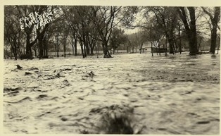
Park at Cambridge, NE
|
|
|
|
|

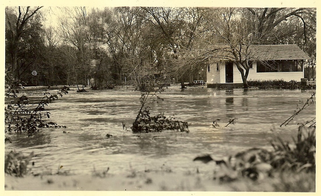
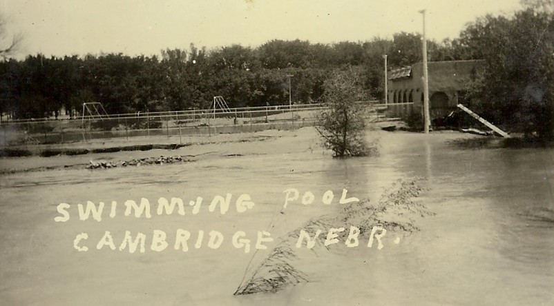
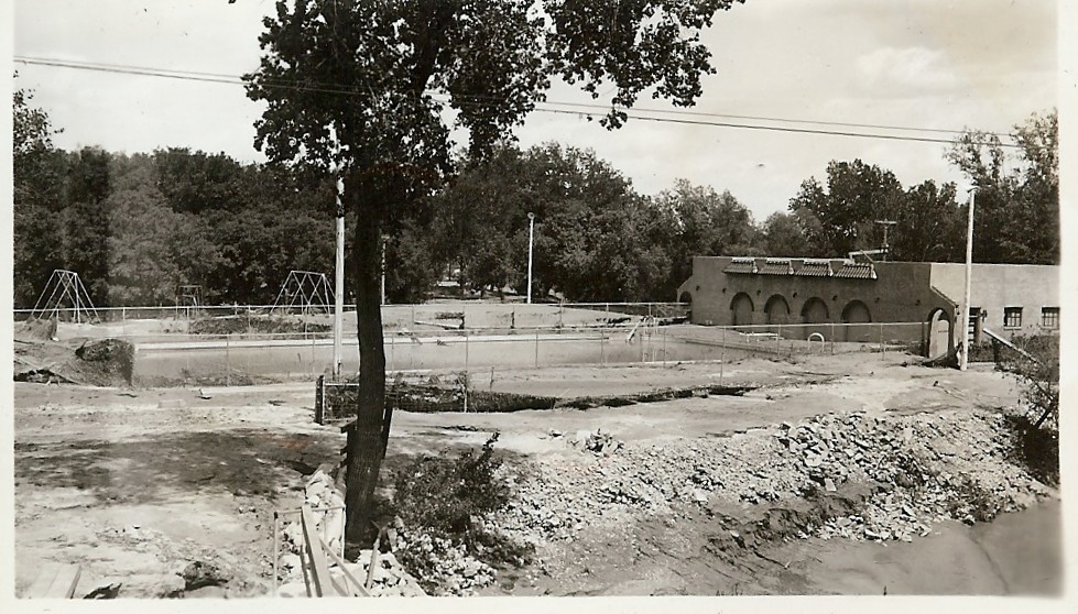
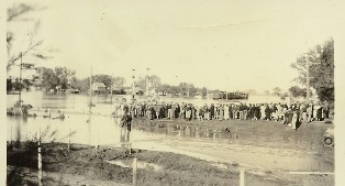
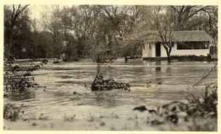
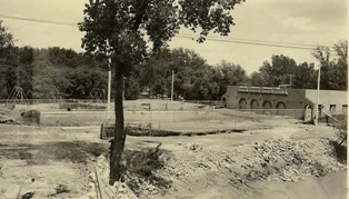
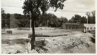
Swimming pool, Cambridge, NE
|
Swimming pool, Cambridge, NE
|
|
|
|
|
|
|
|
|
|
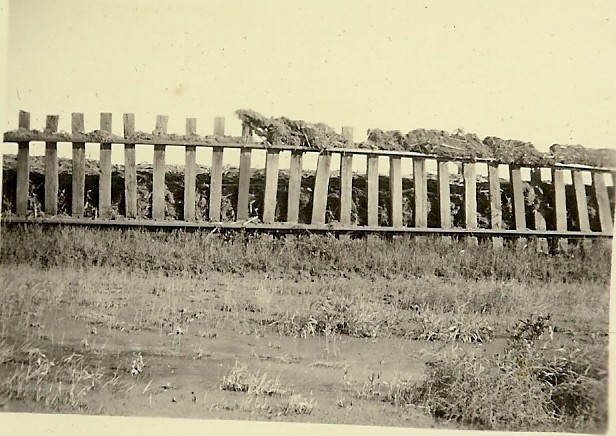
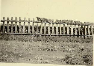
Back of photo: "A view of the railroad showing how the wall of water up-rooted railroad tracks so that they looked like a picket fence." |
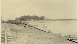
Railroad bridge east of Cambridge, NE
|
|
|
|
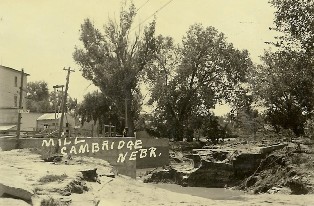
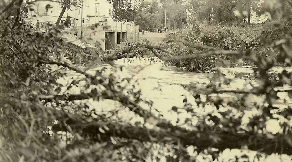
Mill at Cambridge, NE
|
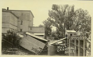
Mill at Cambridge, NE
|
|

|
|
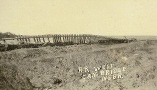
Railroad west, Cambridge, NE
|
|
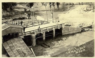
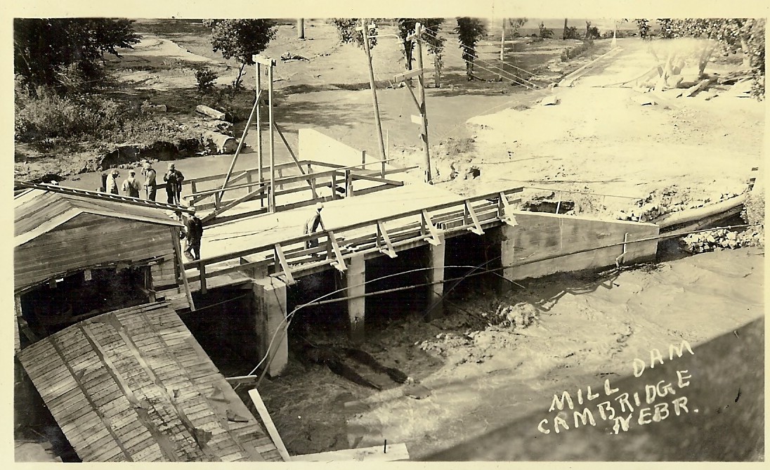
Mill dam, Cambridge, NE Back of photo: "This shows how the rope house at the mill caved in. Mr Brown has taken the milk, incorporating it with Jerry and Hal Day."
|
|
|
|
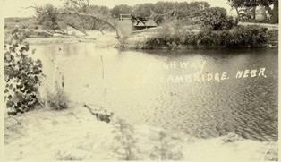
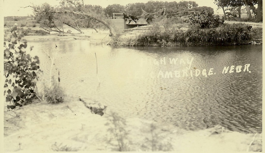
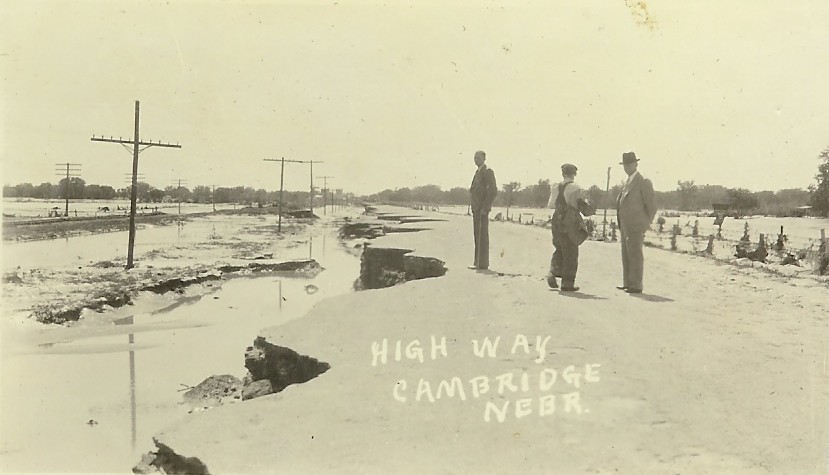
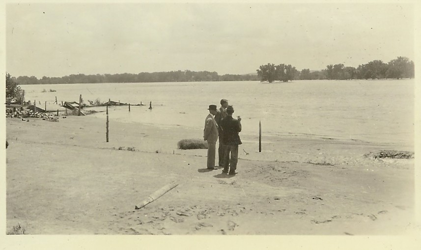
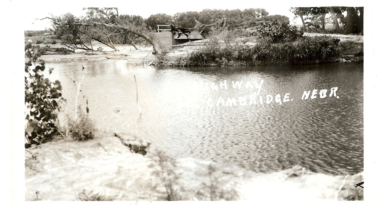
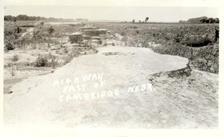
Highway southeast of
Cambridge, NE
|
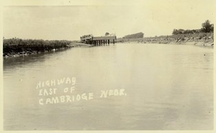
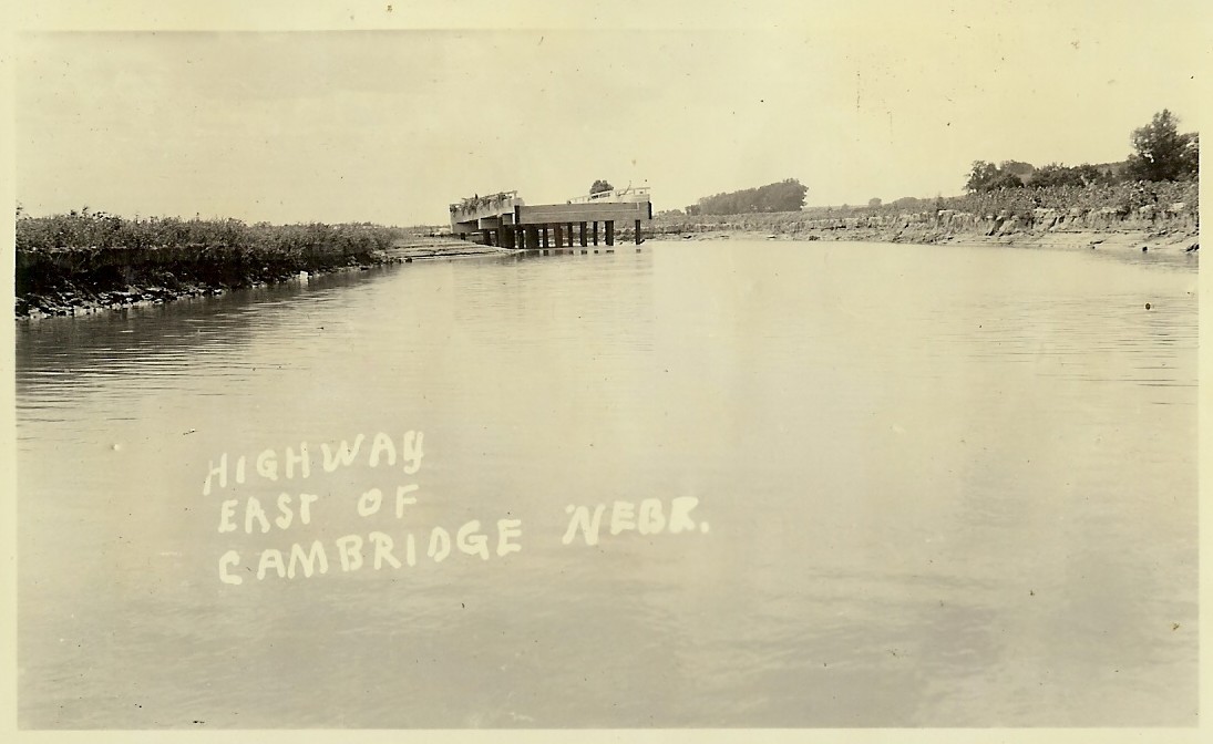
Highway east of
Cambridge, NE |
|
|
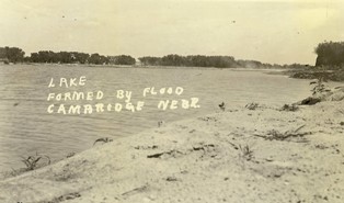
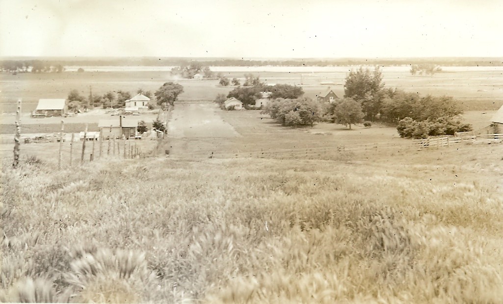
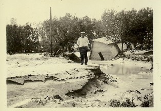
Lake formed by flood, Cambridge, NE Back of photo: "This is a lake formed on the north of the of Chas Hopf farm. Remember the grand corn and grass land down there? River bed is beyond the trees. West of this is a sandy desert for miles along the south side of river. Many farms are entirely covered with river sand. No one knows how deep this is."
|
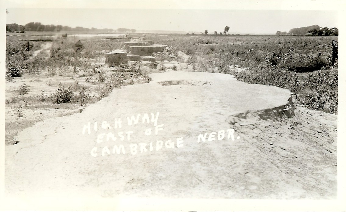
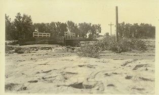
Highway east of Cambridge, NE Back of photo: "These small mounds of dirt is all that is left of the lovely new highway grade east of town. The vegetation you see is mostly young cottonwoods and willow trees coming up by the million since the flood. The grade was washed away from just south of Geo Sayers to Holbrook."
|
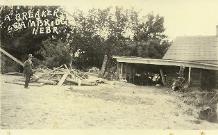
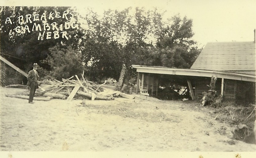
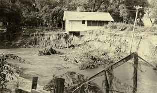
A Breakers, Cambridge, NE Back of photo: "This was the first house south of the river. The west side fell into a 20 foot hole washed in by the current. Notice the trash left on the car in the foreground."
|
|
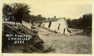
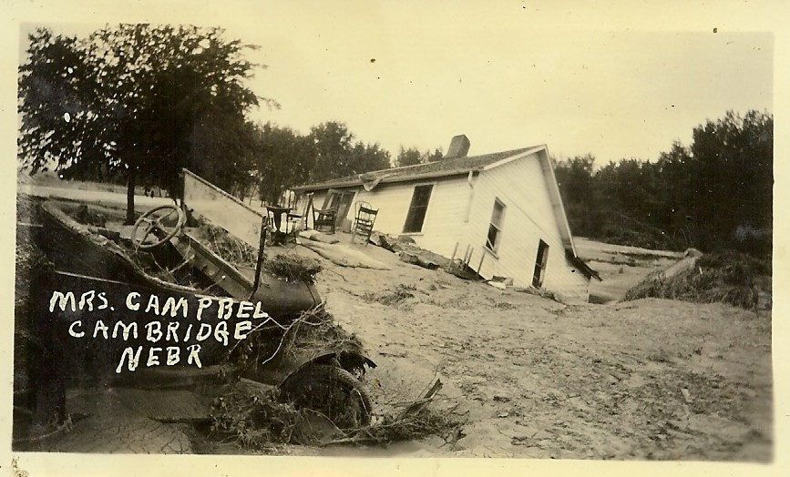
Mrs. Campbell, Cambridge, NE
|
|
|
|
|
|
|
|
|
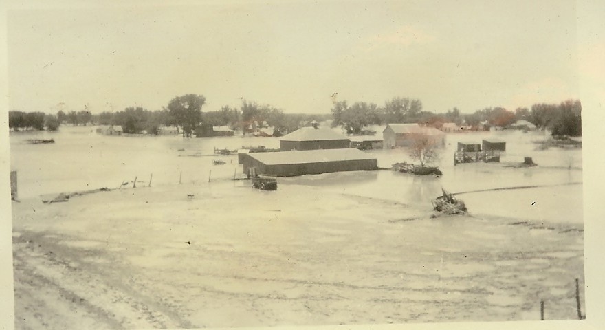
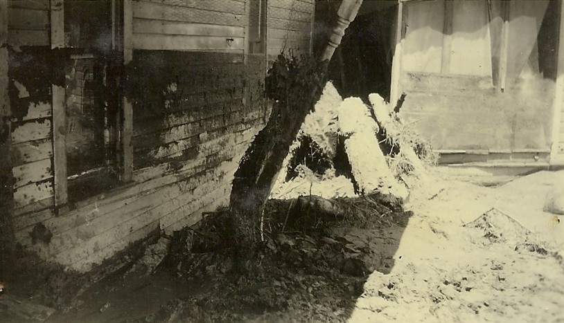
Flood scene, Cambridge, NE
|
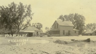
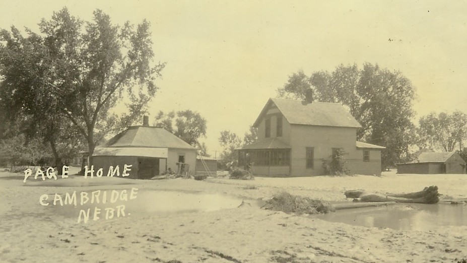
Page home, Cambridge, NE
|
|
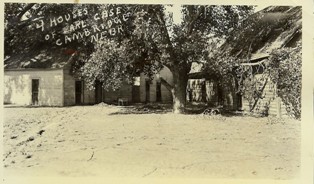
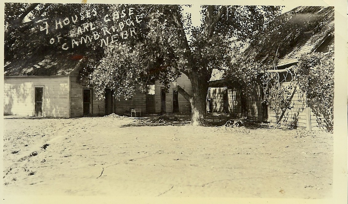
Four houses of Earl Case, Cambridge, NE
|
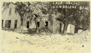
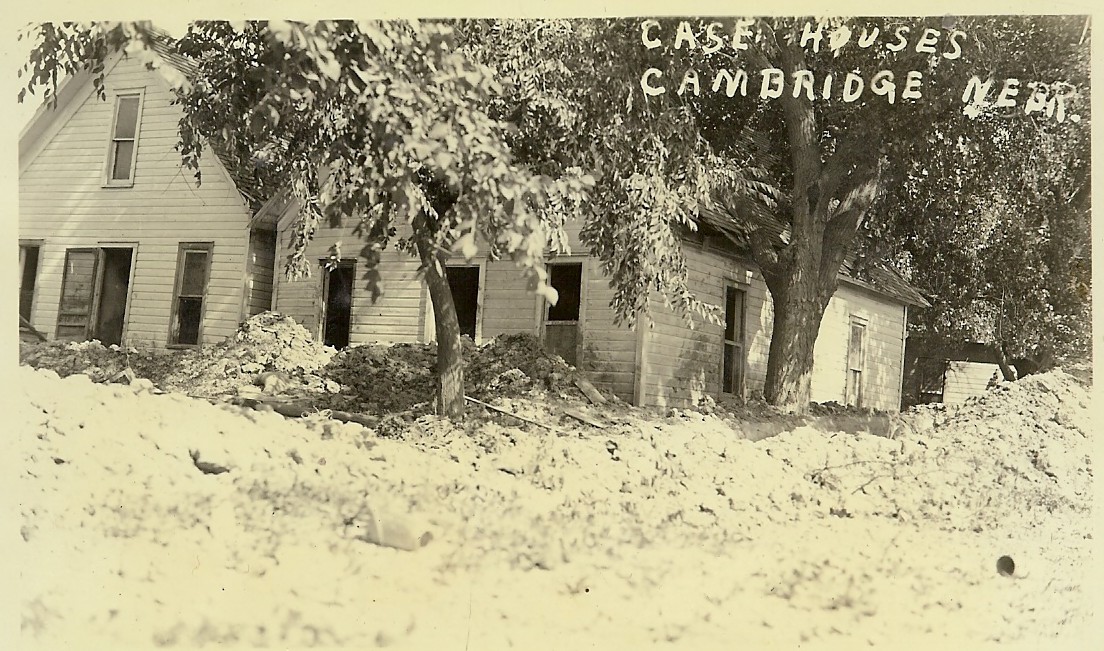
Case houses, Cambridge, NE
|
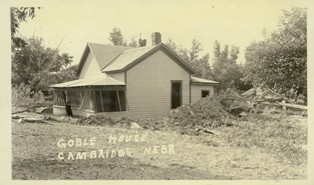
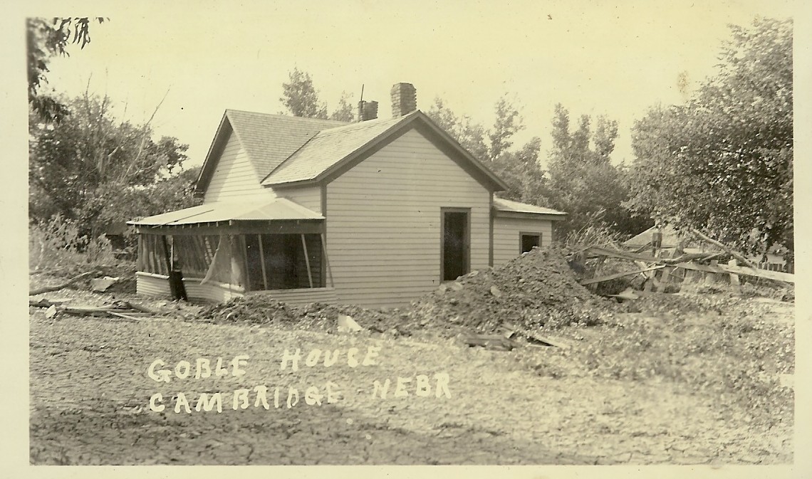
Goble house, Cambridge, NE
|
|
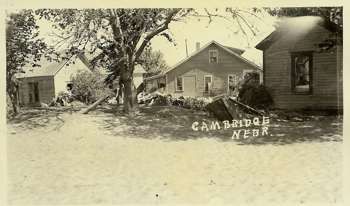
Cambridge, NE
|
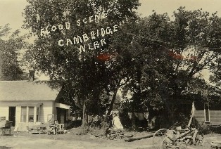
Flood scene, Cambridge, NE
|

View south side Cambridge, NE
|
|
|
|
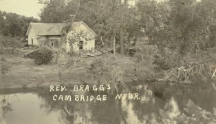
Rev. Braggs, Cambridge, NE
|
|
Cambridge, NE
|
|
|
|

|
|
|
|
|
|

|
|
|
|
|
|
|
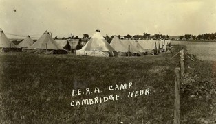
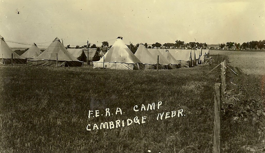
F.E.R.A. Camp, Cambridge, NE Back of photo: " F.E.R.A. Camp east of the cemetery has been located here since June 1st. They'll have to hurry if they get all damaged homes ready for occupancy by winter."
|
|
|

|
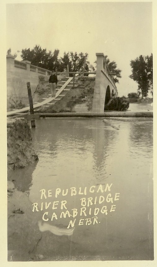
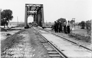
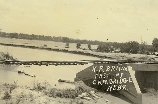
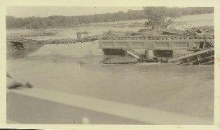
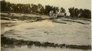
Republican River Bridge, Cambridge, NE
|
|
|
|
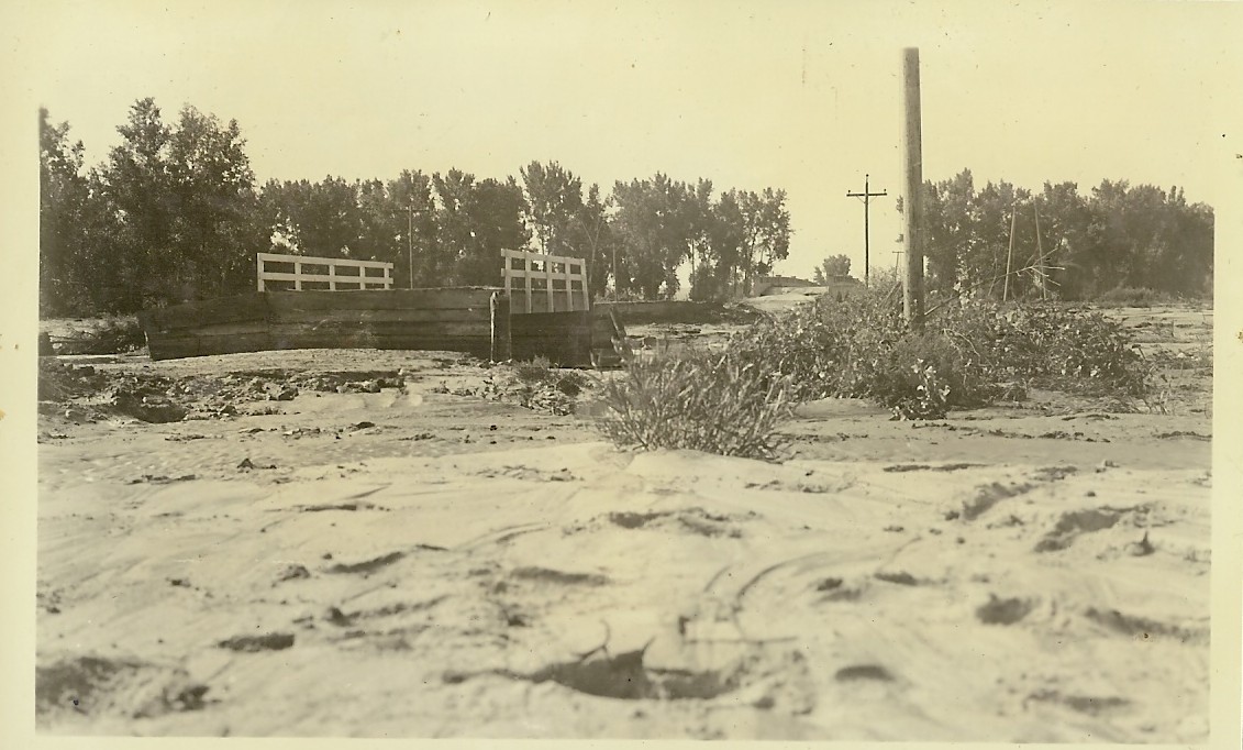
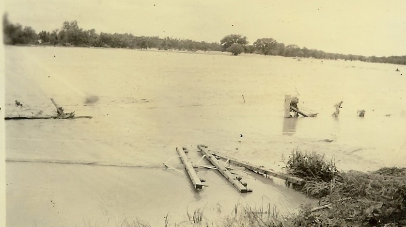
Highway, Cambridge, NE Back of photo: "The highway east of town washed by creek and river both."
|
|
|
|
|
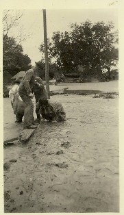
Back of photo: "C.C.C. boys dragging out a dead cow from south Cambridge."
|
|
Back of photo: "These people had put canned fruit and bedding in their car to take to higher ground but the water caught them and nothing was left but trash." |
|
|
|
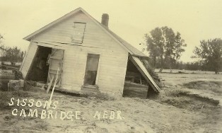
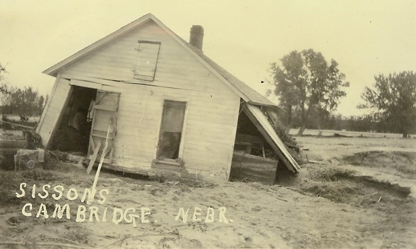
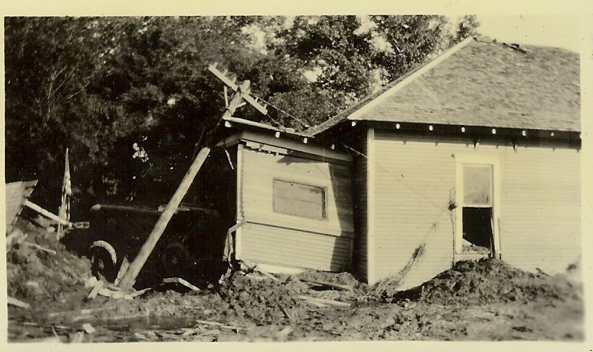
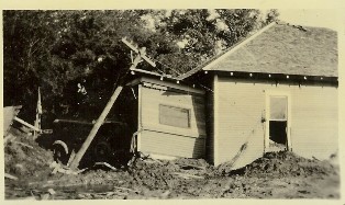
Sissons, Cambridge, NE
|
|
|
|
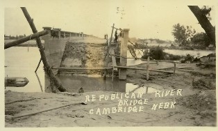
Republican River Bridge, Cambridge, NE
|
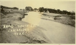
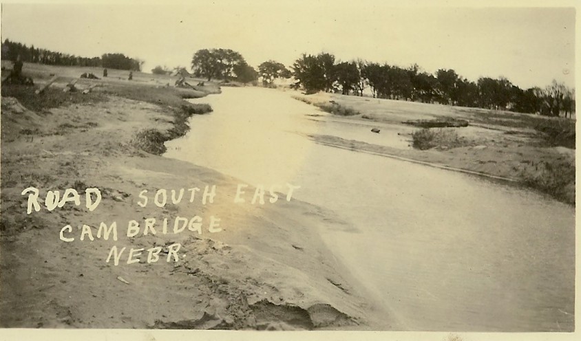
Road southeast, Cambridge, NE
|
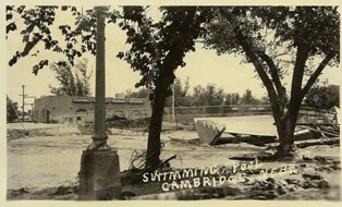
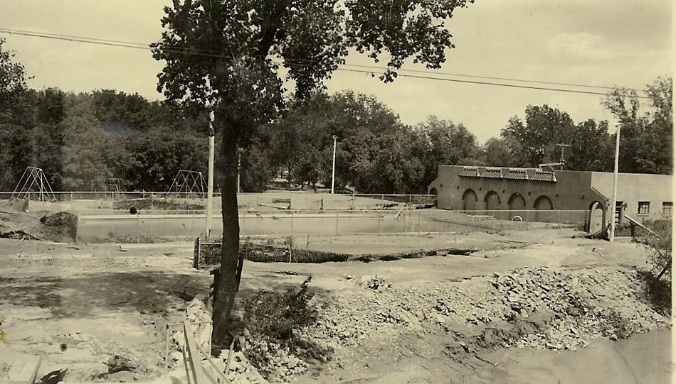
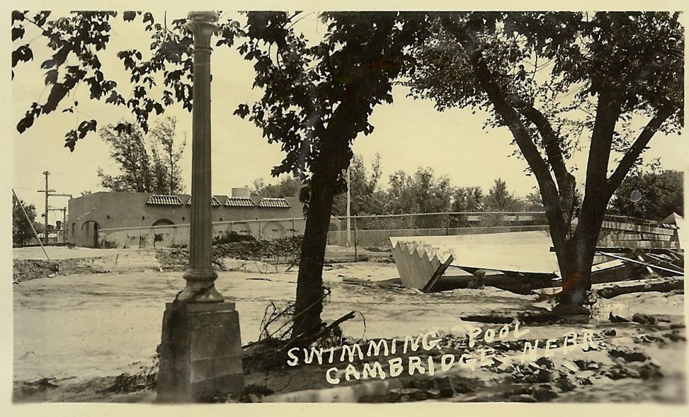
Swimming pool, Cambridge, NE
|
|
|
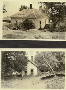
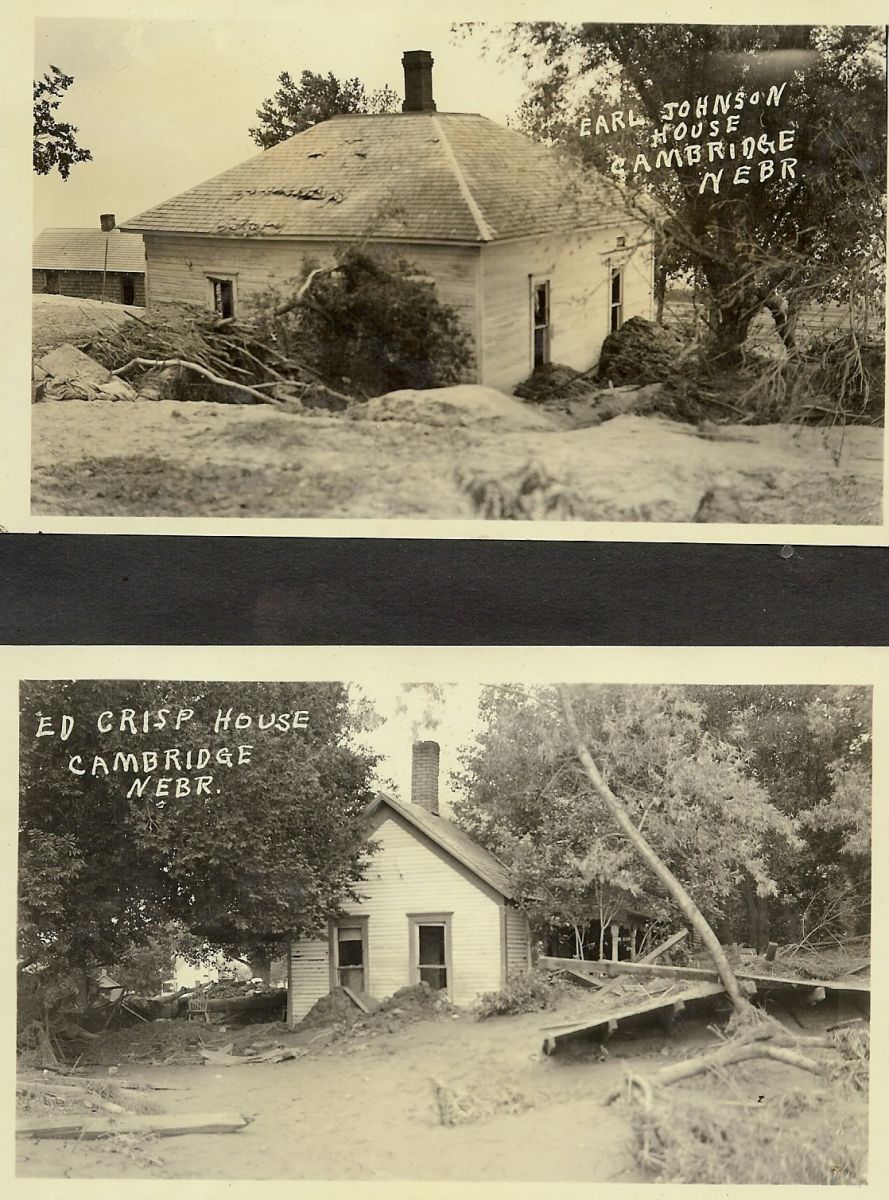
Top photo- Earl Johnson house. Bottom photo- Ed Crisp house. Cambridge, NE
|
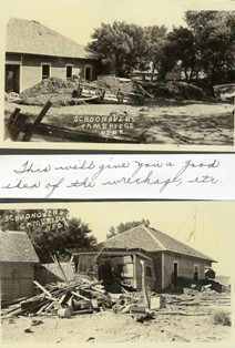
Schoonovers, Cambridge, NE
|
|
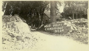
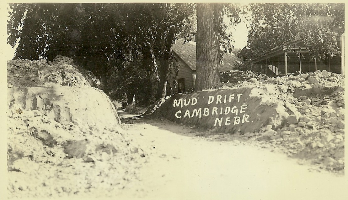
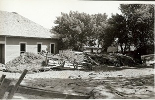
Mud drift, Cambridge, NE Back of photo: "This is the south side of Cambridge where Earl Cases 4 houses were. His homes have been jammed together."
|
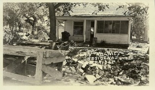
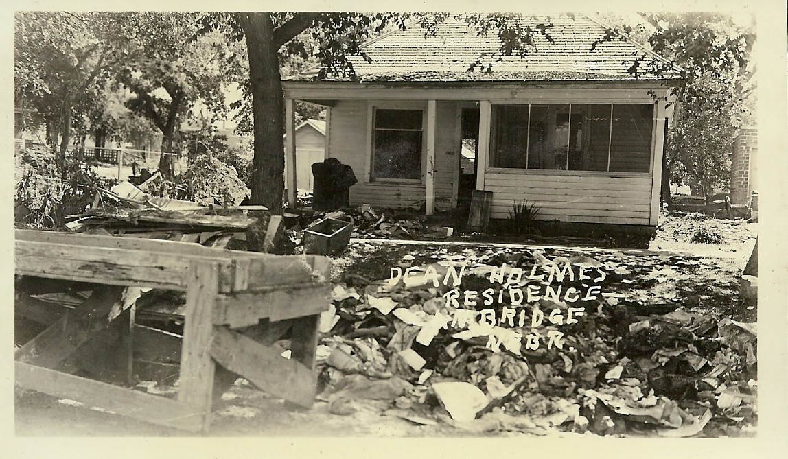
Dean Holmes residence, Cambridge, NE
|
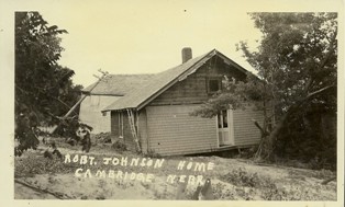
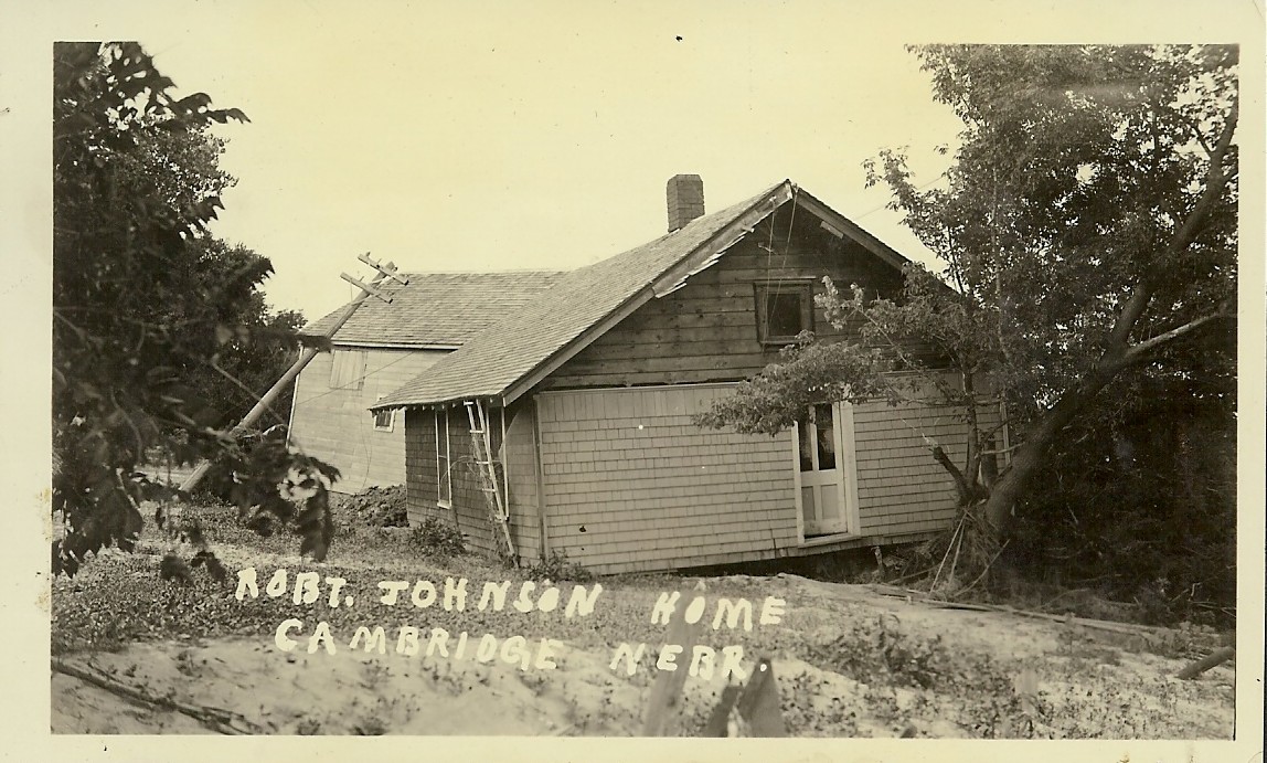
Robert Johnson home, Cambridge, NE
|
|
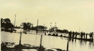
Main Street south, Cambridge, NE Back of photo: " The arrow points to Rankin Elevator Offices across from the depot. Take at 6 a.m. June 1st. Water had gone down 18 inches. This other arrow shows 11 people on a house top waiting to be rescued. Note how high the water is."
|
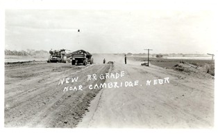
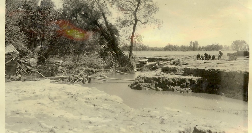
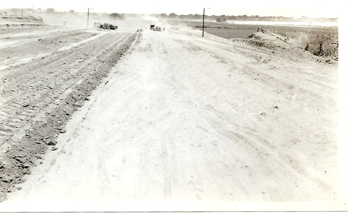
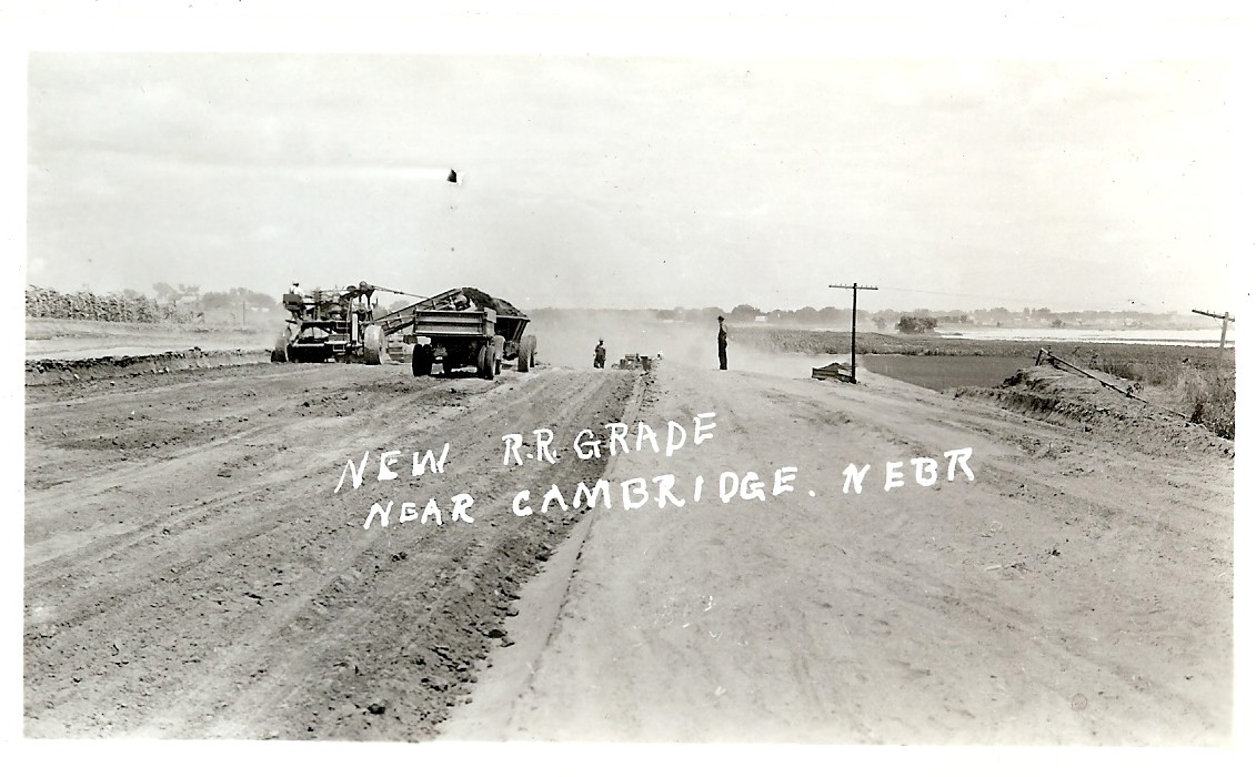
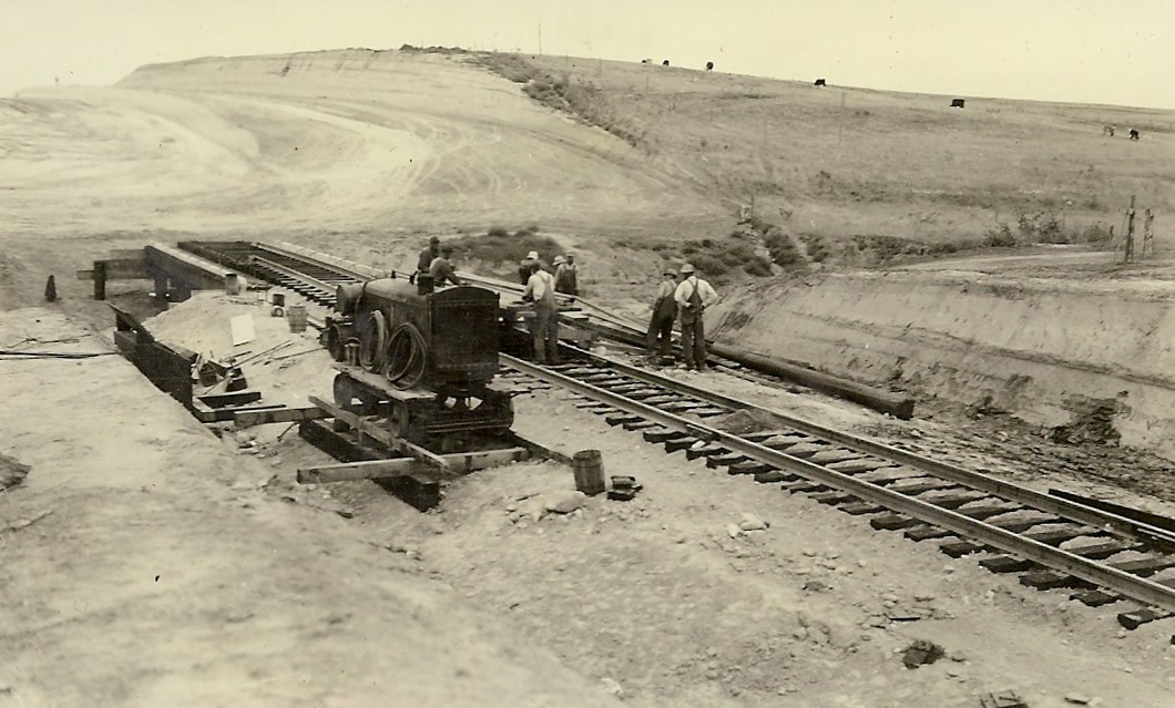
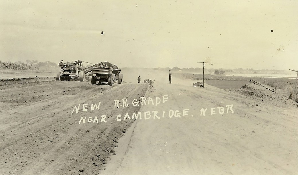
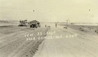
New railroad grade near Cambridge, NE Back of photo: "The railroad is being moved up on the bluffs between Cambridge and Geo. Sayer's ba[rn]."
|

Highway, Cambridge, NE Back of photo: "This lake over 12 feet deep just at the slough bridge southeast of the old Karash house extends all along the road to the southwest corner of the Karash trees. The cement bridge is surrounded by water and is useless. A pioneer trail goes thru the Karash yard and east of the old Themolla hill."
|
|
|
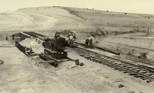
New raillroad grade near Cambridge.
|
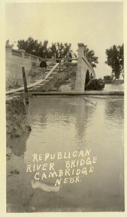
Republican River Bridge, Cambridge, NE
|
|
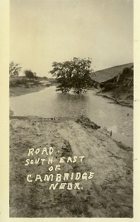
Road southeast Cambridge, NE
|
|
|
|
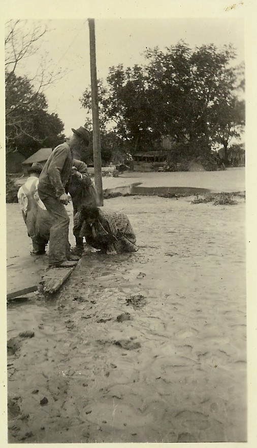
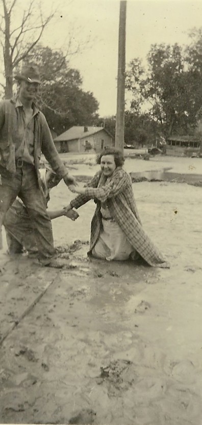
Back of photo: "This rescue boat was built during the night. By 6 a.m. next morning the force of the water wasn't so great and a boat could venture out a little ways. This was taken north of the tracks."
|
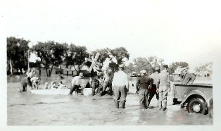
Back of photo: "This picture show the first rescue boat going out the next morning at 6 a.m. The water has gone down 18 inches. This is north of the tracks. The men in the boat are: Tom Minnick, Bill Barklund, Fritz Seago."
|

|
Nebraska Prairie Museum
|
Alma Depot
|
.jpg)
Arapahoe Power House
|
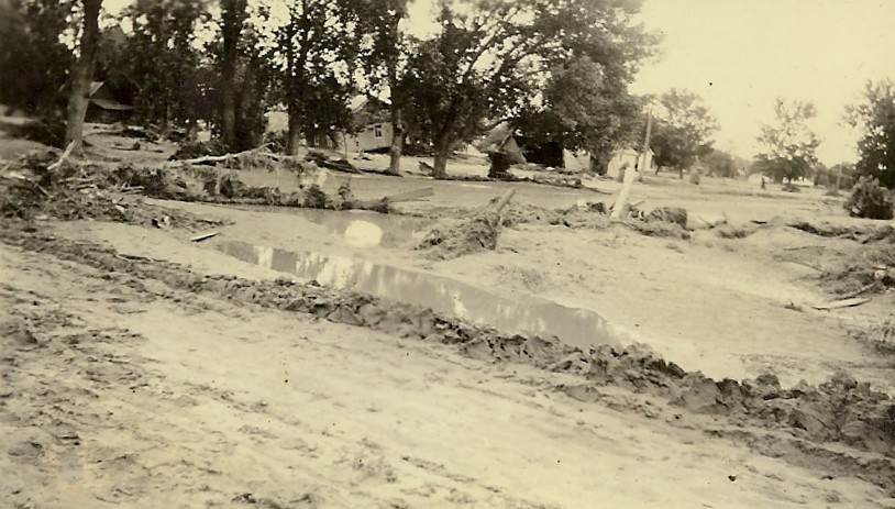
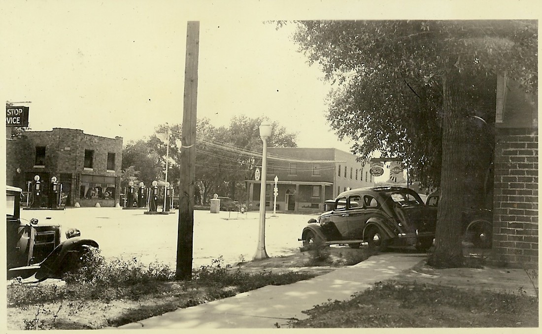
City of Cambridge
|
|
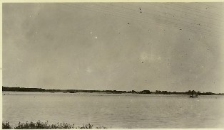
South of Arapahoe
|
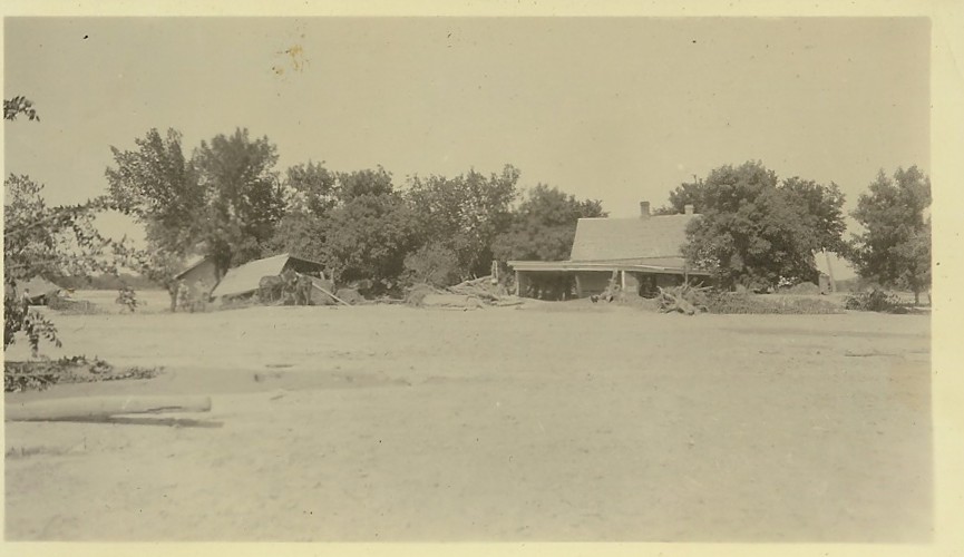
House near Cambridge
|

Railroad Bridge South of Oxford
|
|