| Sunday: Introduction and Terminology |
It is no secret that the High Plains receives a variety of weather. The spring and summer tend to be an active time of year, with a high potential for lightning, large hail, damaging winds, heavy rain, and tornadoes. At NWS Goodland, it is our mission to protect life and property from hazardous weather. Tri-State Severe Weather Awareness Week is aimed at raising awareness for the dangers before it happens. Taking the time now to make preparations and learn safety information could save a life.
| NWS Goodland Information: |
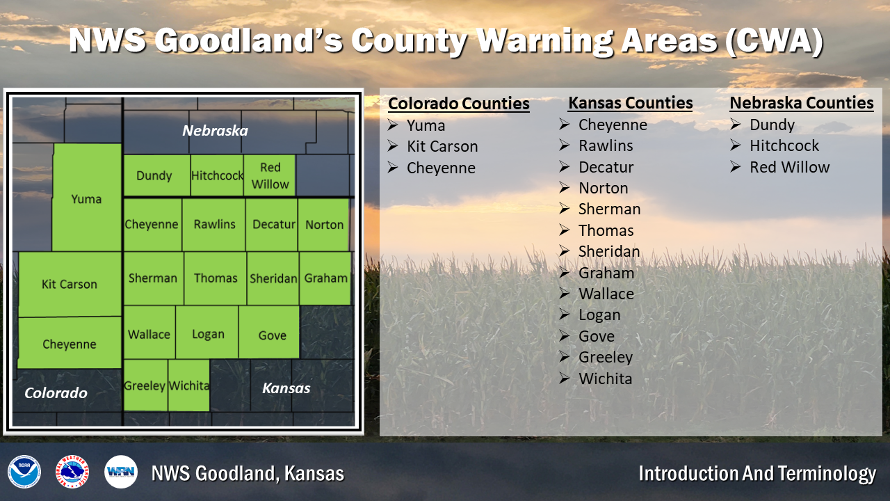
When fully staffed, NWS Goodland has a total of 22 employees: 17 meteorologists, 3 electronics/equipment specialists, 1 technology officer, and 1 administrative assistant. We serve portions of 3 states: 13 counties in northwest Kansas, 3 counties in southwest Nebraska, and 3 counties in east central Colorado. Not only do we forecast the weather, but we also take weather observations, run social media pages, work with partners, perform outreach, and issue watches, warnings, and advisories. Here are some important ways to access information from NWS Goodland:
| Severe Weather Terminology |
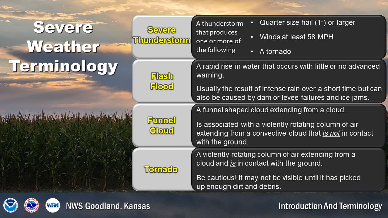
What is a severe thunderstorm?
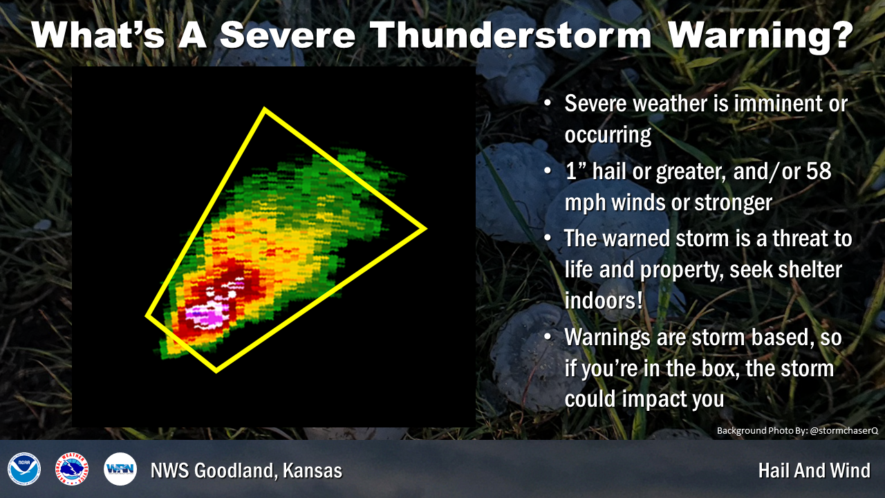
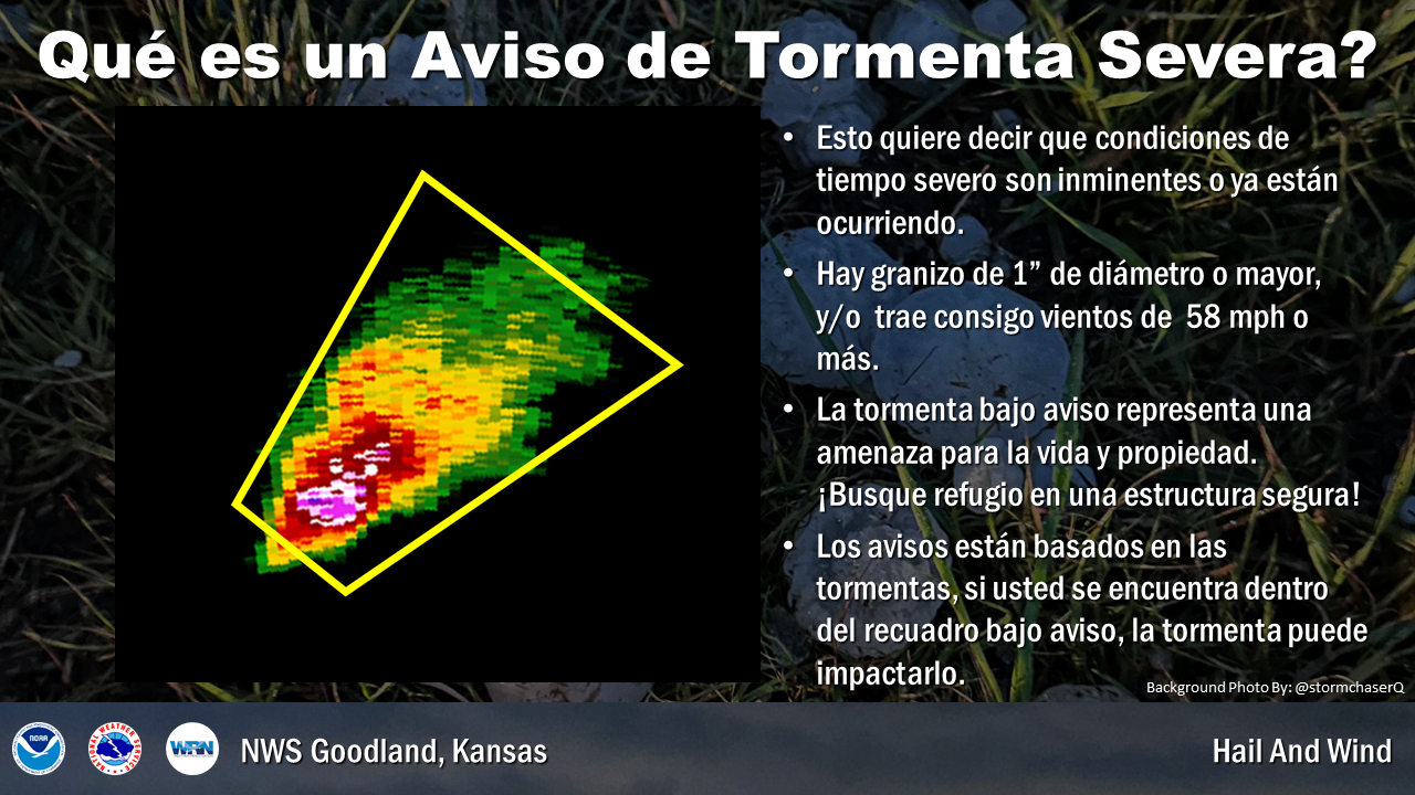
A thunderstorm is severe when it produces: quarter size hail or larger, winds at least 58 mph, and/or a tornado.
What is the difference between a funnel cloud and a tornado?
A tornado is a violently rotating column of air extending from a cloud and is in contact with the ground. A funnel cloud is a rotating column of air extending from a cloud that is not in contact with the ground.
What is a flash flood?
A rapid rise in water that occurs with little or no advanced warning usually caused by intense rainfall over a short time.
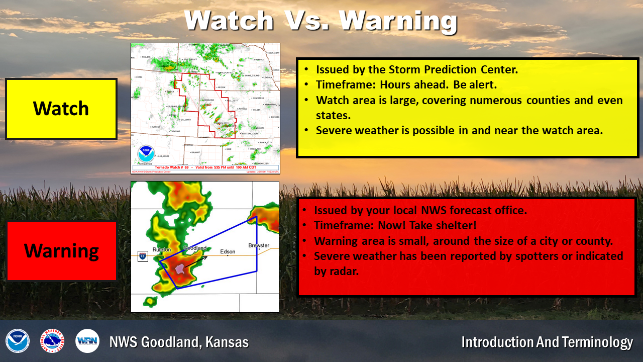
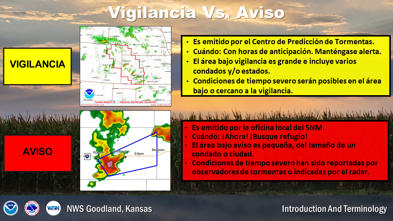
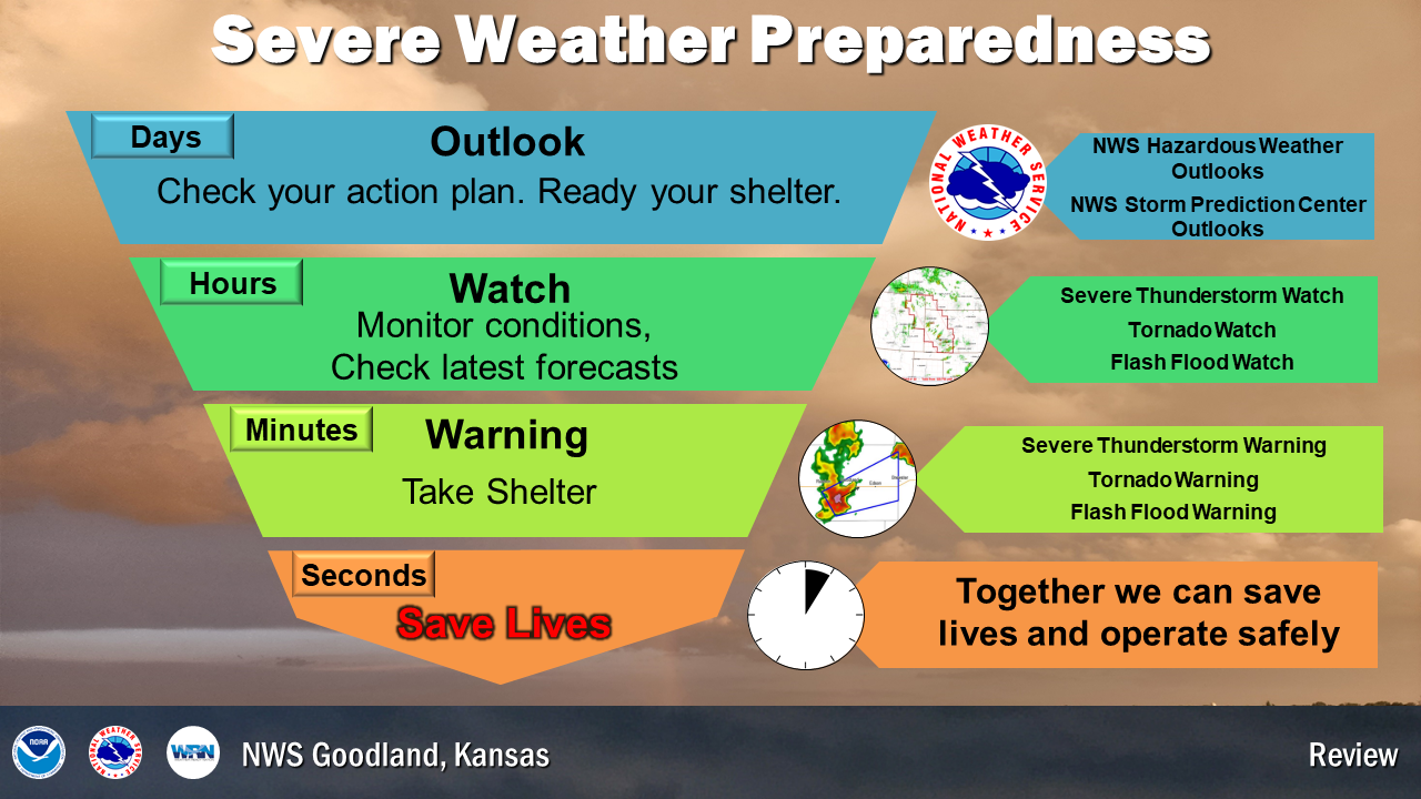
What is a Watch?
A Watch means that severe weather is possible in and near the watch area. It is issued hours ahead of upcoming severe weather. The watch area is typically large, covering numerous counties or even states. Stay informed and be ready to act if a severe thunderstorm warning or a tornado warning is issued.
What is a Warning?
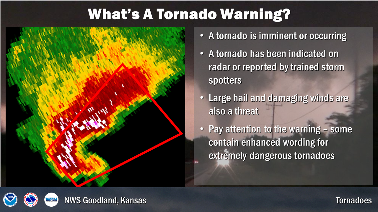
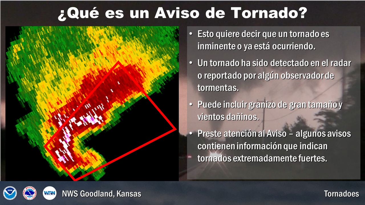
A Warning indicates severe weather is imminent or occurring and is a danger to life and property. It is issued when severe weather has been reported by spotters or indicated by radar. Take proper shelter. Warnings typically encompass a much smaller area (around the size of a city or small county) that may be impacted.
| Sunday's Social Media Posts (click to enlarge): |
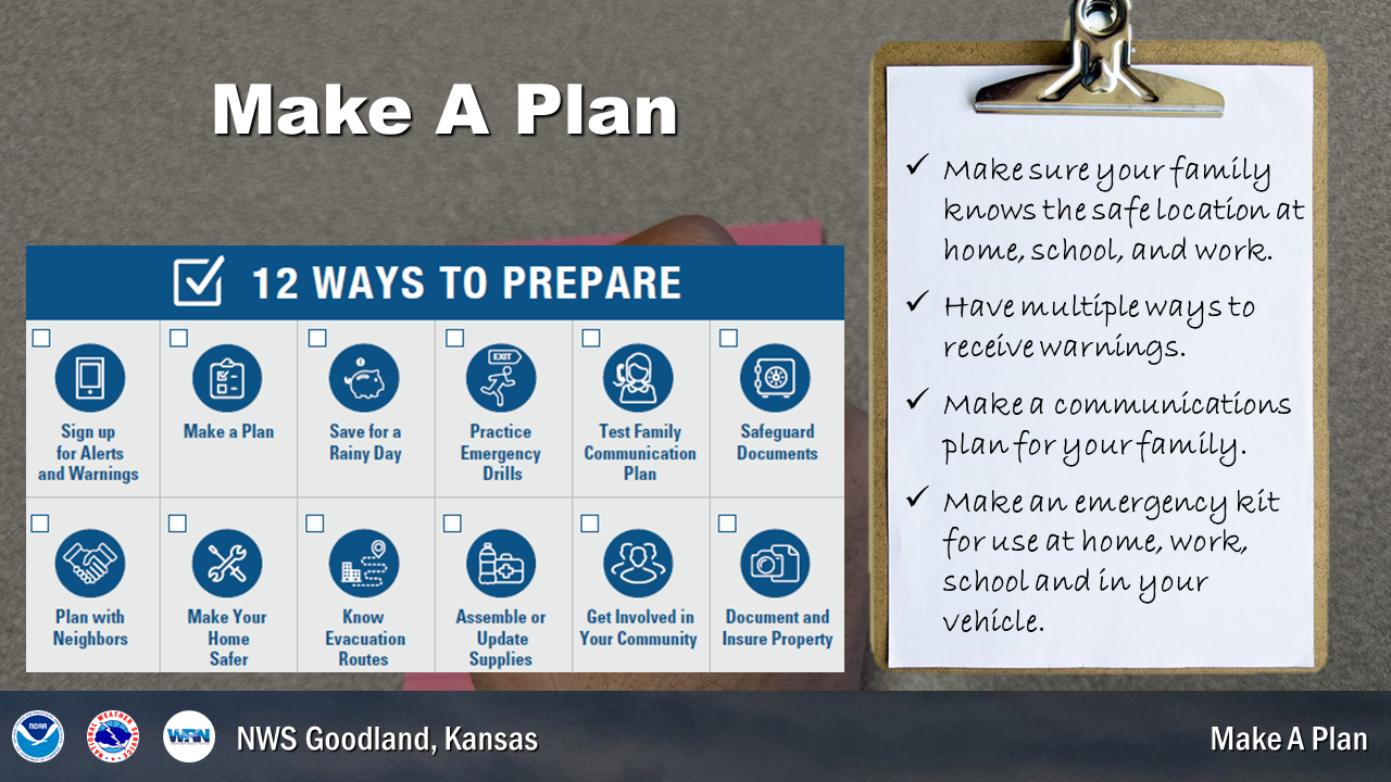
Before severe weather strikes, develop a plan of action. Identify a place for you and your family to take shelter in the event of severe weather. Once you have a plan of action, conduct frequent drills to ensure everyone knows what to do at all times. Make sure you have plans for severe weather when you are at home, work, school, or outdoors.
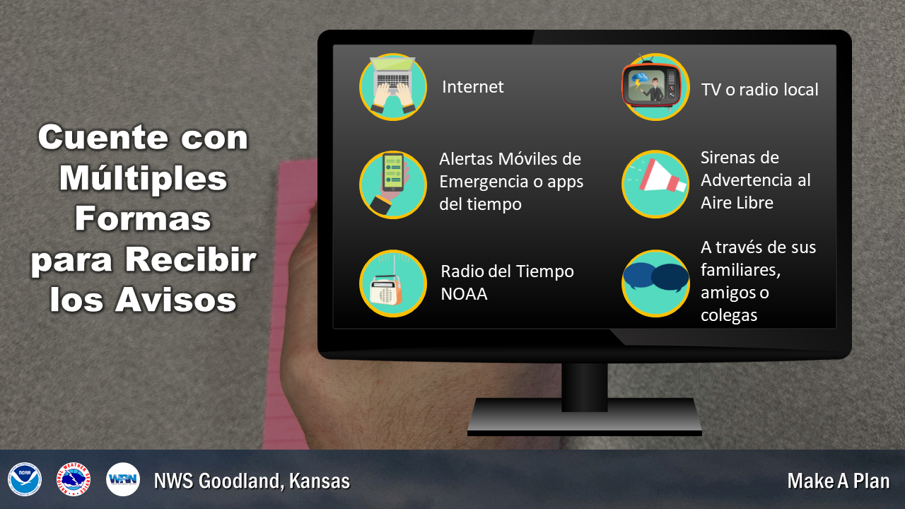
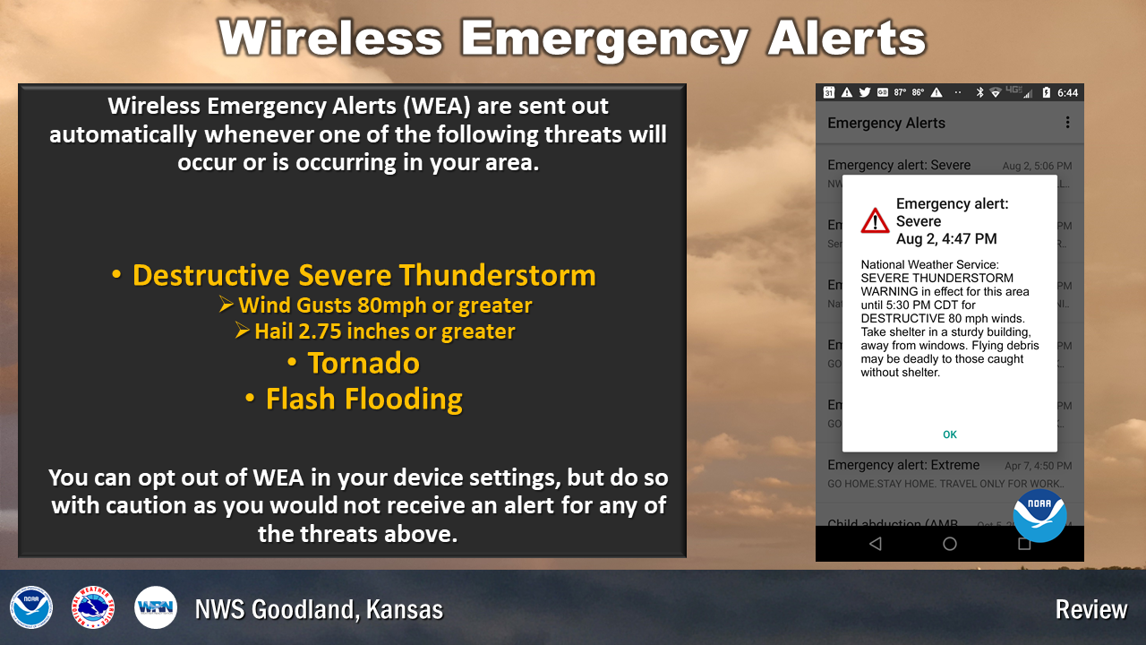
Warnings are issued by the National Weather Service for a variety of thunderstorm hazards. Ensure you have multiple ways to receive warnings. Also, understand the protocol for sounding sirens in your community. If you have a relatively new cell phone, you will receive tornado and flash flood warnings on your phone when you are in the area covered by the warning. A NOAA Weather Radio is another great way to monitor the weather and receive warnings, and can be found at most hardware or electronics stores.
Make a plan today. Not sure where to start? Visit ready.gov/make-a-plan for the tools you'll need. You can also follow the steps below.
1. Put together a plan by discussing these 4 questions with your family, friends, or household:
- How will I receive emergency alerts and warnings?
- What is my shelter plan?
- What is my evacuation route?
- What is my family/household communication plan?
​2. Consider specific needs in your household. Are there medical conditions, pets or service animals, dietary considerations, young or elderly residents?
3. Fill out a Family Emergency Plan. Download and fill out a plan or use them as a guide to create your own.
4. Practice your plan with your family/household.
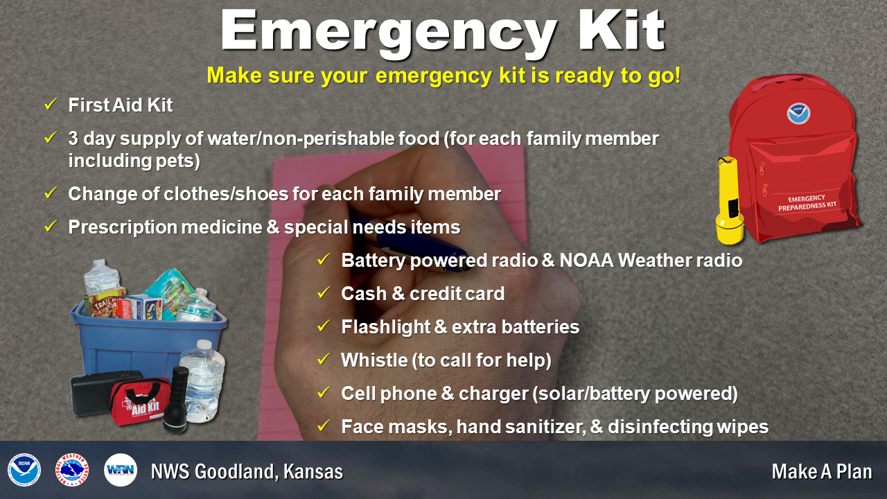
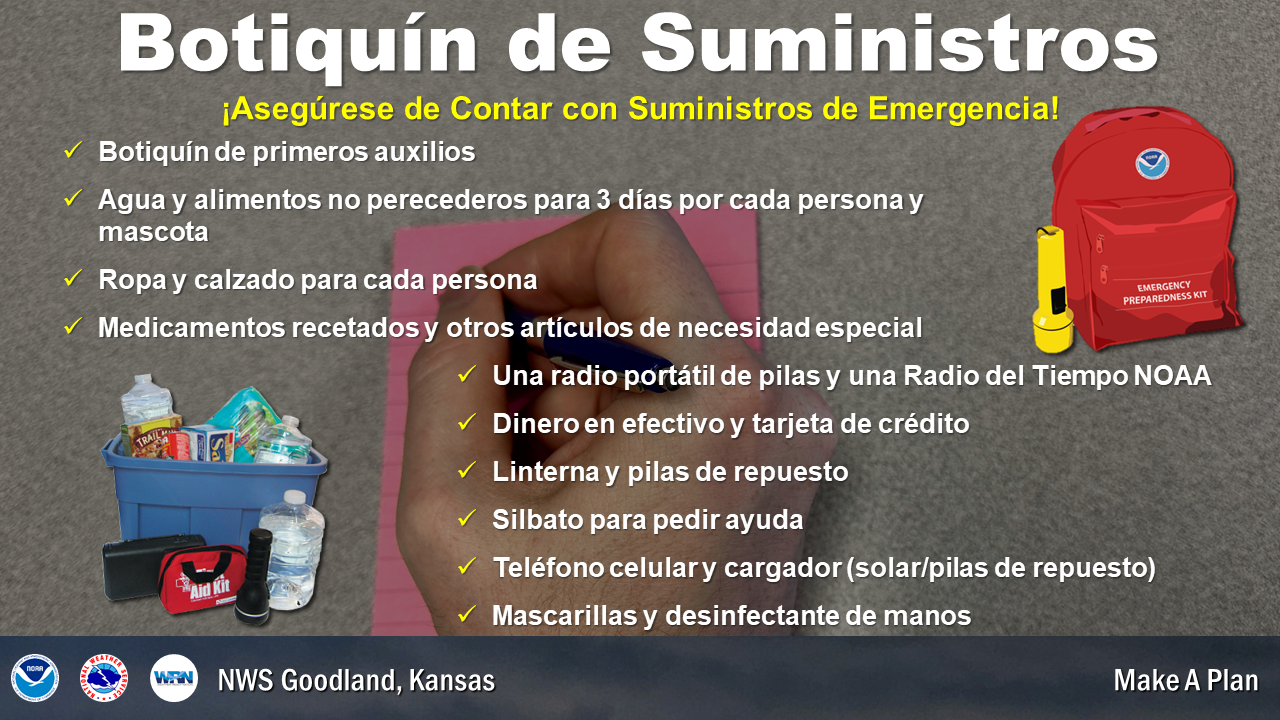
Have an emergency kit. A disaster supplies kit is a collection of basic items your household may need in the event of an emergency. After an emergency, you may need to survive on your own for several days. Being prepared means having your own food, water, and other supplies to last for at least 72 hours. Make sure your emergency kit is stocked with the items on the checklist below. Most of the items are inexpensive and easy to find, and any one of them could save your life. Download the Recommended Supplies List.
Basic disaster kit supplies:
- Water - one gallon of water per person per day for at least three days, for drinking and sanitation
- Food - at least a three-day supply of non-perishable food
- Battery - powered or hand crank radio and a NOAA Weather Radio with tone alert
- Flashlight
- First aid kit
- Extra batteries
- Whistle to signal for help
- Moist towelettes, garbage bags and plastic ties for personal sanitation
- Wrench or pliers to turn off utilities
- Manual can opener for food
- Cell phone with chargers and a backup battery
- Face masks, hand sanitizer, and disinfecting wipes
| Ways to Receive Weather Information: |
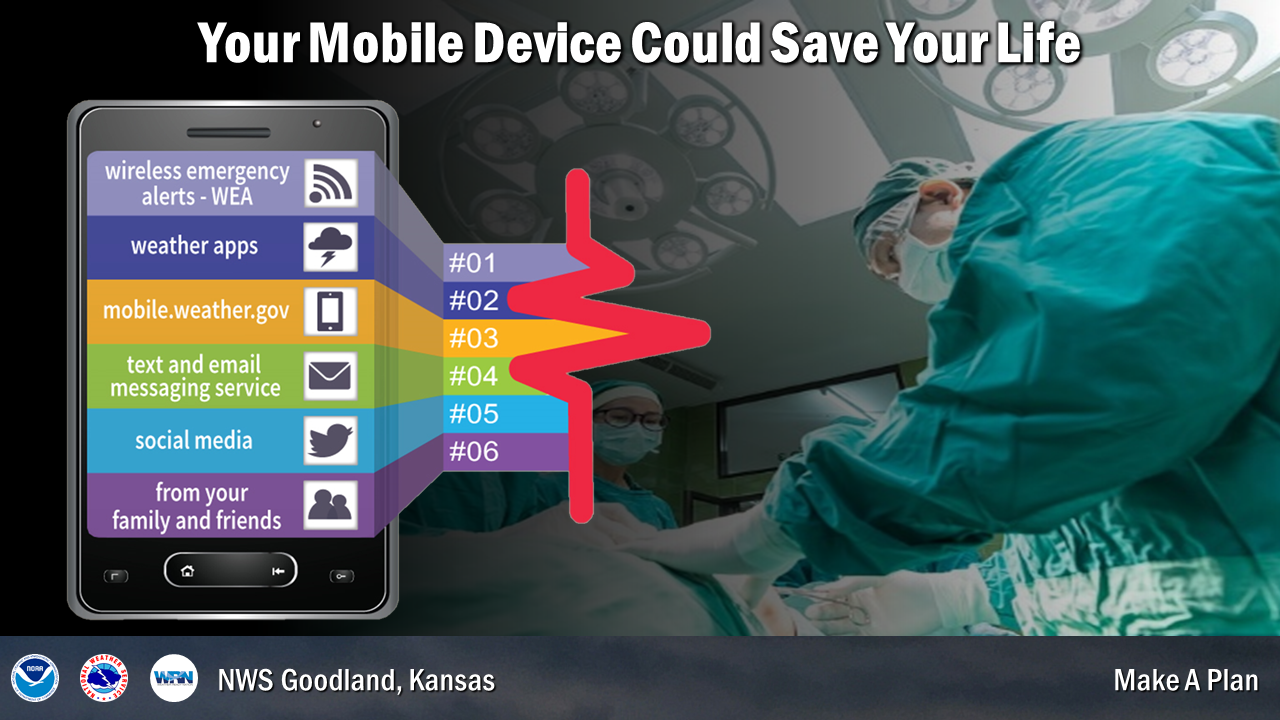
There are many ways to receive critical weather information from either the NWS or NWS Core Partners. Here are some ways to receive warnings:
- NOAA Weather Radio: A loud audible alert will be produced when certain watches or warnings are issued.
- Local Radio and Television: Stations often share critical weather forecast and warning information with the general public.
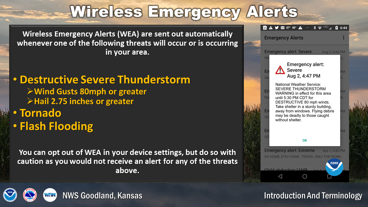
- Wireless Emergency Alerts: Alerts that appear on your mobile phone (as long as they are enabled).
- Weather Apps: There are many phone applications that can provide weather information. The NWS does not have an app, but we do have a mobile website (mobile.weather.gov) that can be placed among your phone apps as an icon/quick link.
- Home Smart Device: Certain home smart devices can be programmed to alert you if severe weather is coming your way. Check your device manual to see if there is a setting or command.
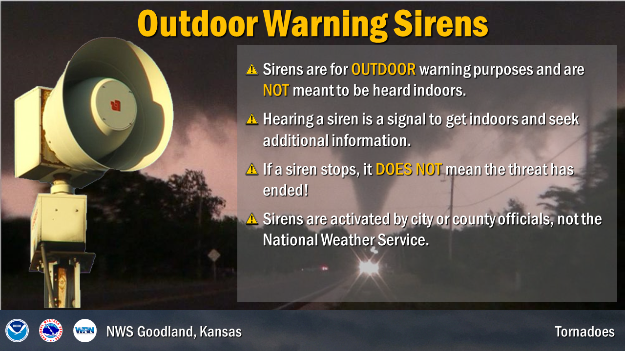
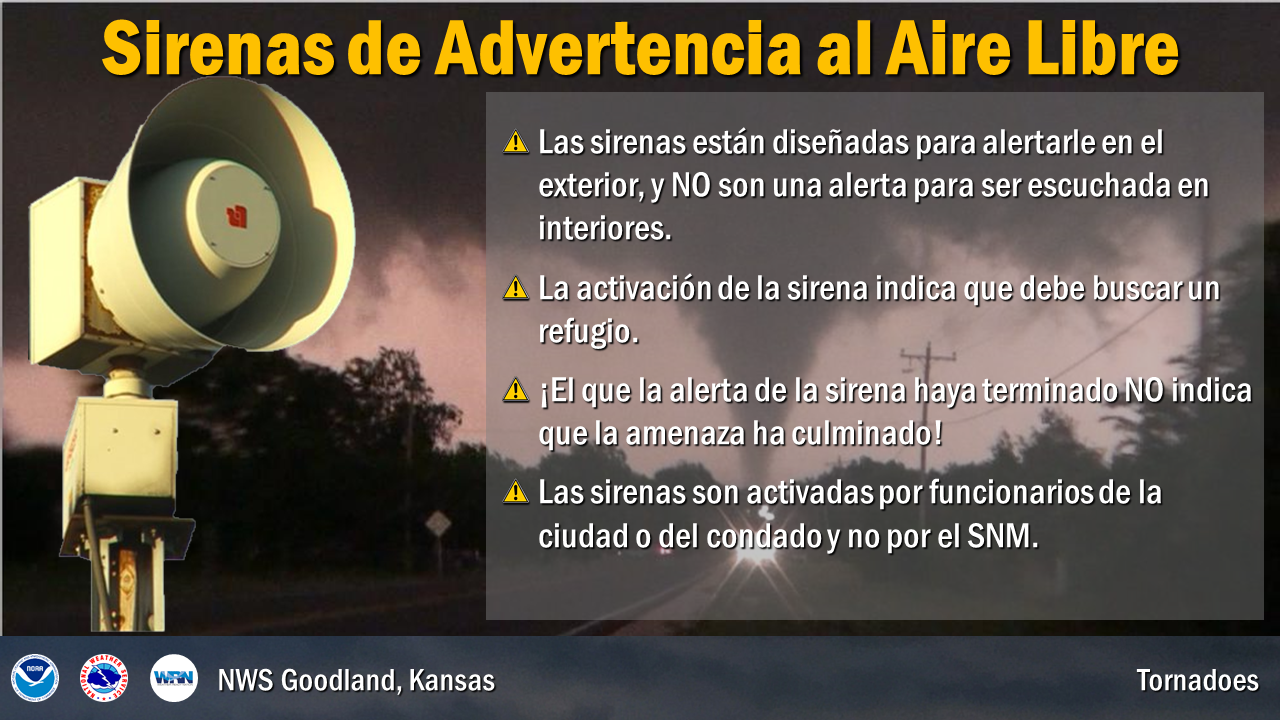
- Outdoor Sirens: Intended to alert individuals outside of incoming severe weather. Generally, they are sounded for tornadoes, but they can also be sounded for significant winds and hail. County policies determine when and how often these sirens are sounded, not the NWS.
- Internet: Websites can provide forecasts, outlooks, safety information, and much more. The internet also allows access to social media (make sure you are following a trusted source!). For the NWS Goodland website, go to www.weather.gov/gld
- Local County and Emergency Management officials: These individuals/agencies often provide weather information through reverse 911 alerting systems, social media, and websites.
| Monday's Social Media Posts (click to enlarge): |
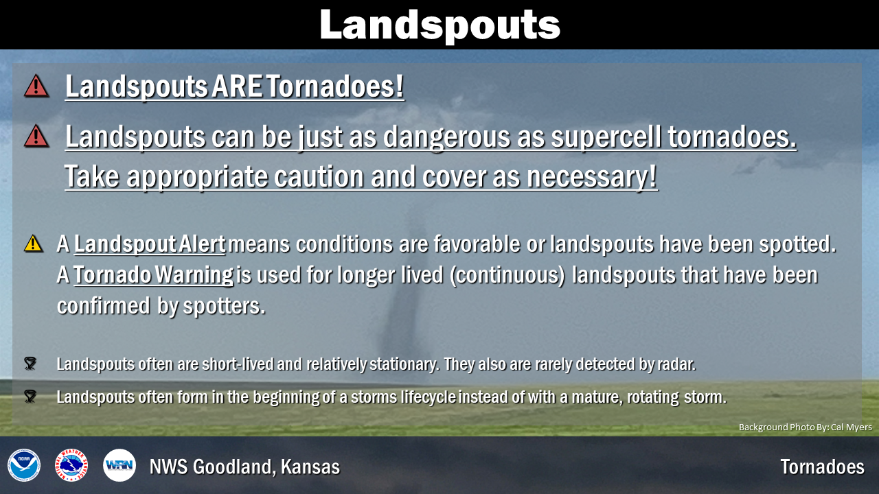
The threat of tornadoes increases rapidly across the High Plains in May and continues through July. Most tornadoes, around 80 percent of them, occur during this three month period. However, tornadoes have been reported as early as February and as late as November. Tornadoes can occur at every hour of the day, but the majority of the tornadoes occur between mid-afternoon, around 1-2 pm, and late evening, around 9-10 pm. During an average year, the area served by NWS Goodland can expect to observe 23 tornadoes.
| Tornado Safety Information: |
When it comes to tornado safety, remember DUCK!
- Down to the lowest level
- Under something sturdy
- Cover your head
- Keep in the shelter until the storm has passed
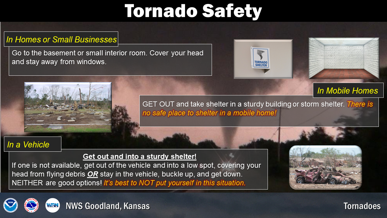
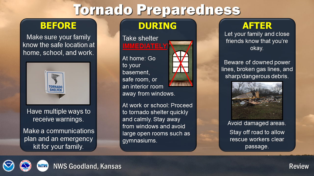
The best option for tornado safety is to be inside a well-built structure within a basement, safe room or underground storm shelter. If none of these options are available, move to a hallway or a small interior room, without windows, on the lowest floor such as a closet or bathroom. Cover yourself with blankets or get under a sturdy piece of furniture because the greatest risk of injury from tornadoes is from flying debris and structural collapse.
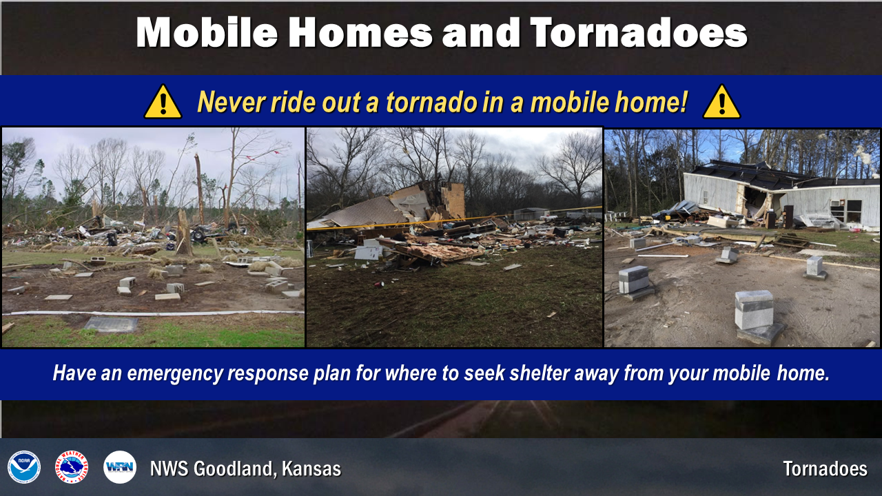
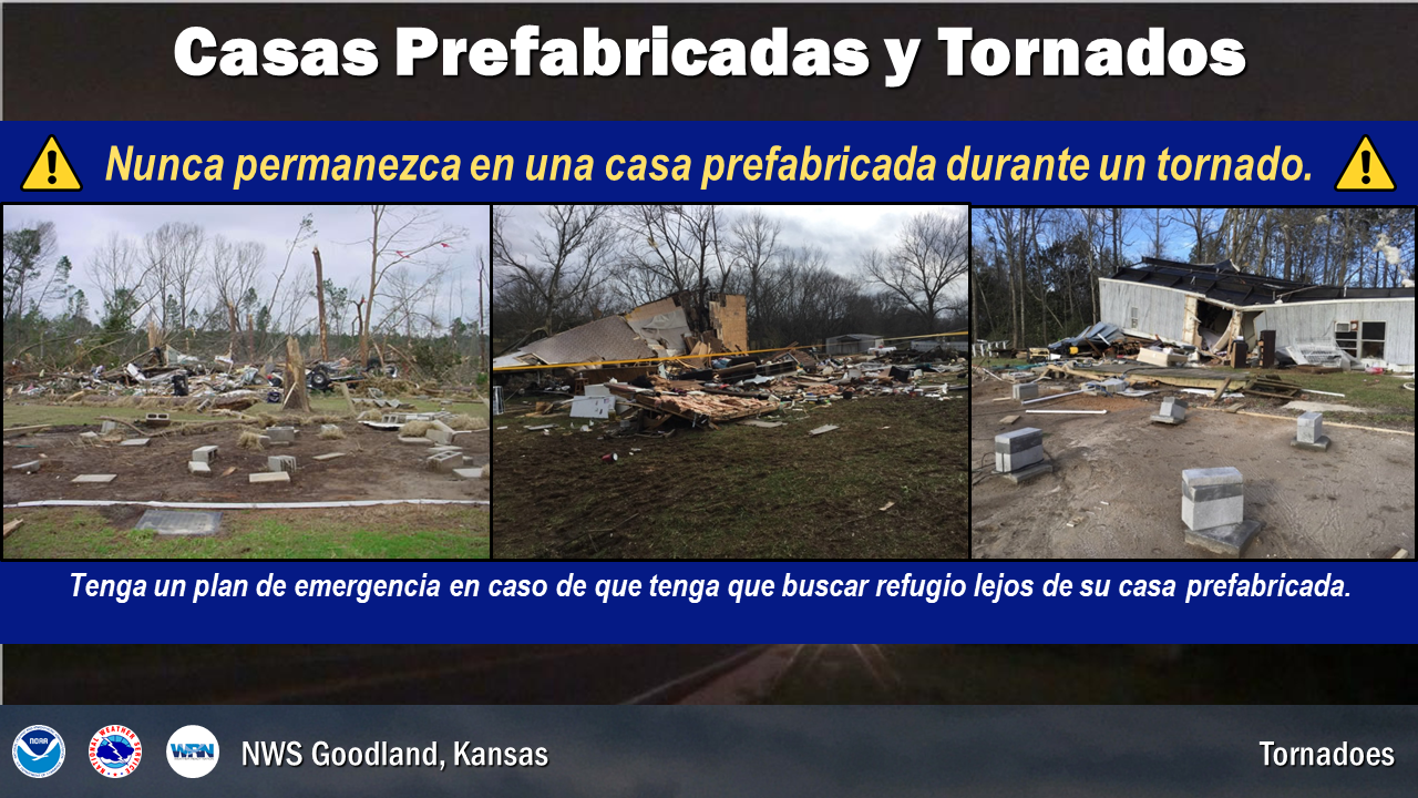
Abandon modular homes and mobile homes as they offer minimal protection from tornadoes, even tied-down mobile homes. Use this week to plan where to go when evacuating your mobile home. A neighbor or family member’s house, a community storm shelter, or other local buildings all provide better shelter.
If you are driving in open country and see a tornado, do not try to outrun it. Being in a vehicle during a tornado is not safe. If a tornado is fast approaching and you are unable to drive to a safe shelter, pull over into a ditch. Either remain buckled in your vehicle while crouching down below window level, or abandon your vehicle and lie down in a low area away from your vehicle and protect your head. Another option is to drive away from the tornado path at a right angle if time permits. Do not take shelter beneath a highway overpass. If you are caught outside and cannot find a safe shelter, crawl into a culvert or lie down in a narrow ditch and cover your head. But remember that these are poor, last-minute options because the worst place to be when a tornado threatens is outside in the midst of flying debris. Heavy rain can also produce flash flooding, putting you in further danger when taking shelter in a culvert or ditch.
Each year, NWS Goodland sends out test tornado drills to help everyone prepare for tornado season. Here are the planned dates of the drills for the region:
Kansas: TBD
Nebraska: TBD
Colorado: TBD
| Tuesday's Social Media Posts (click to enlarge): |
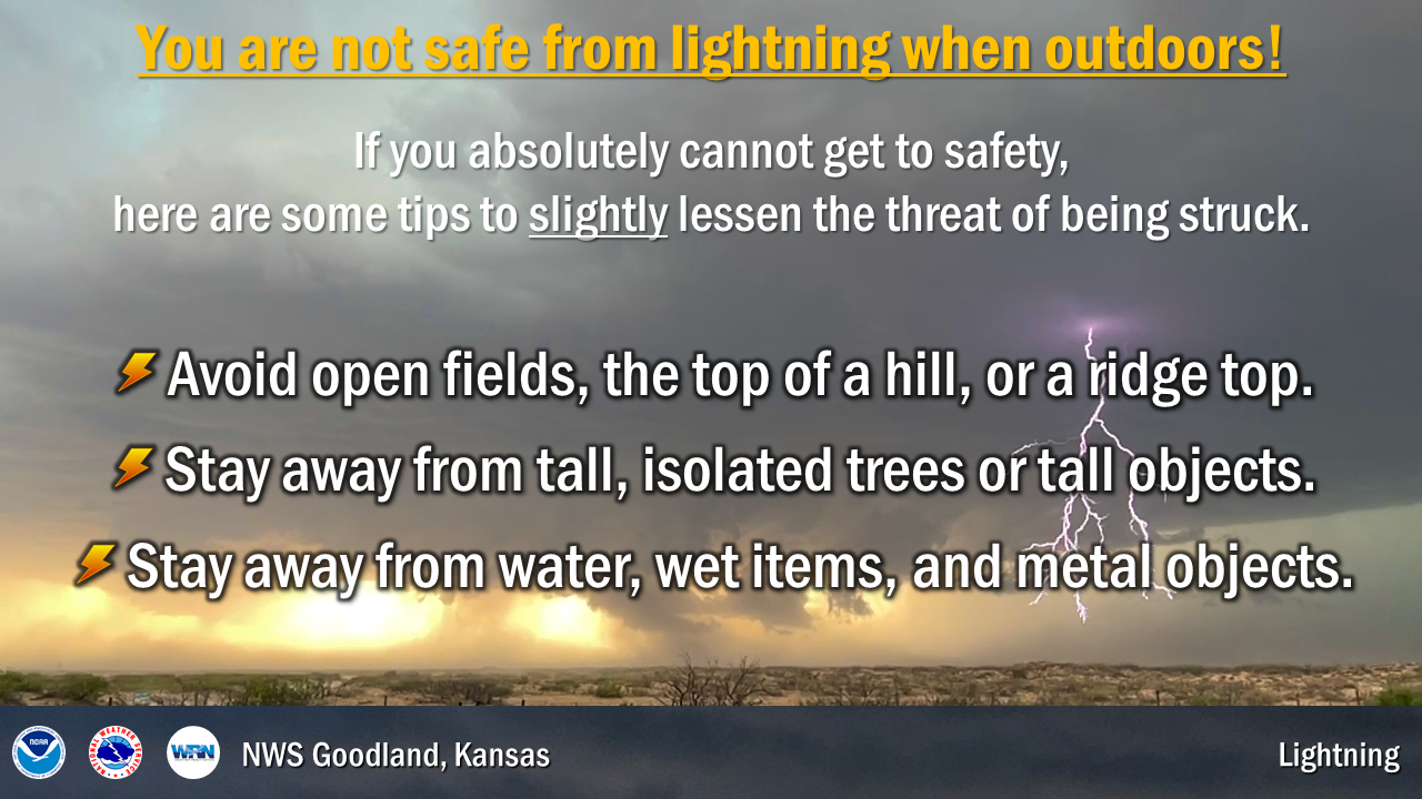
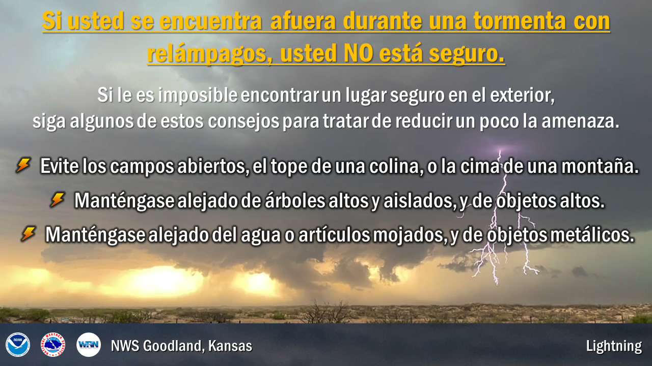
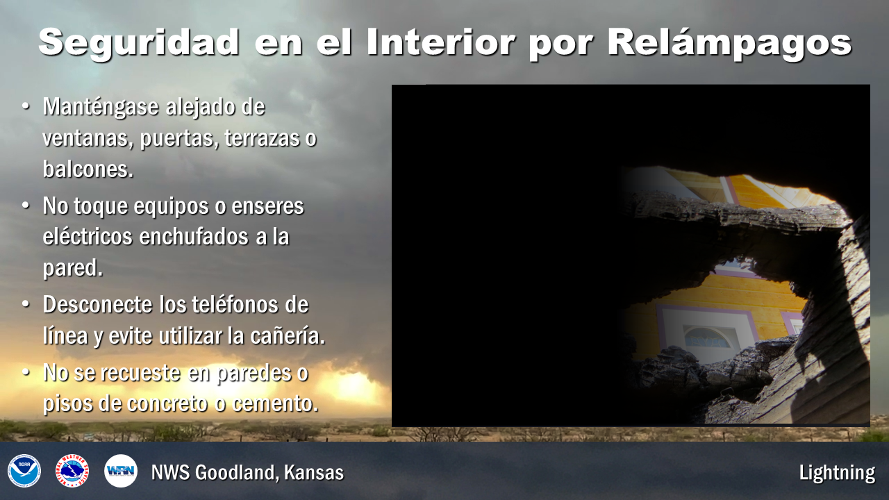
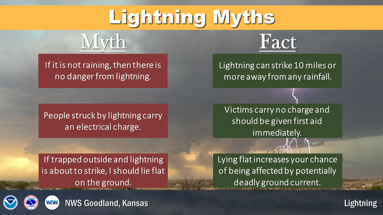
Thunderstorms produce some of the most dangerous weather on Earth, including tornadoes, flash floods, large hail, and destructive straight-line winds. But what about lightning? All thunderstorms produce lightning and in a typical year, it kills 32 individuals and injures many more. In addition to producing human casualties, lightning also ignites rangeland fires. Many of these wildfires occur when lightning is generated from thunderstorms which produce little or no rainfall. This type of lightning is commonly referred to as dry lightning.
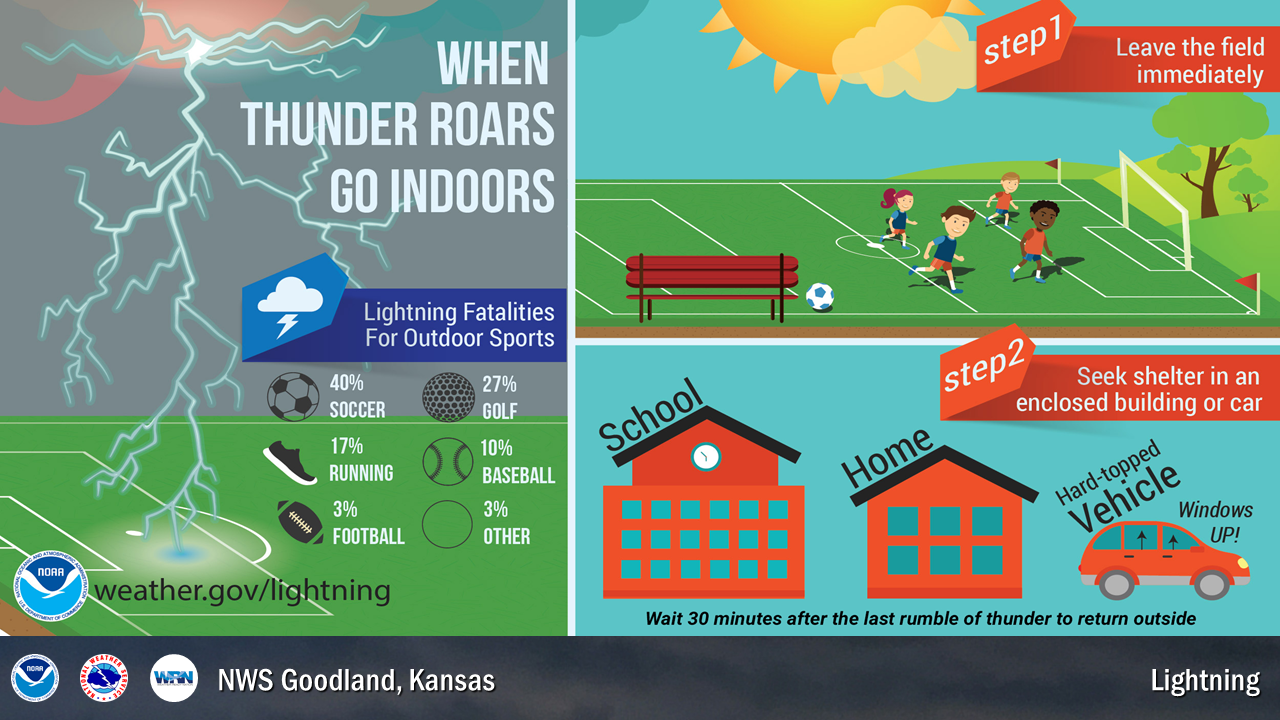
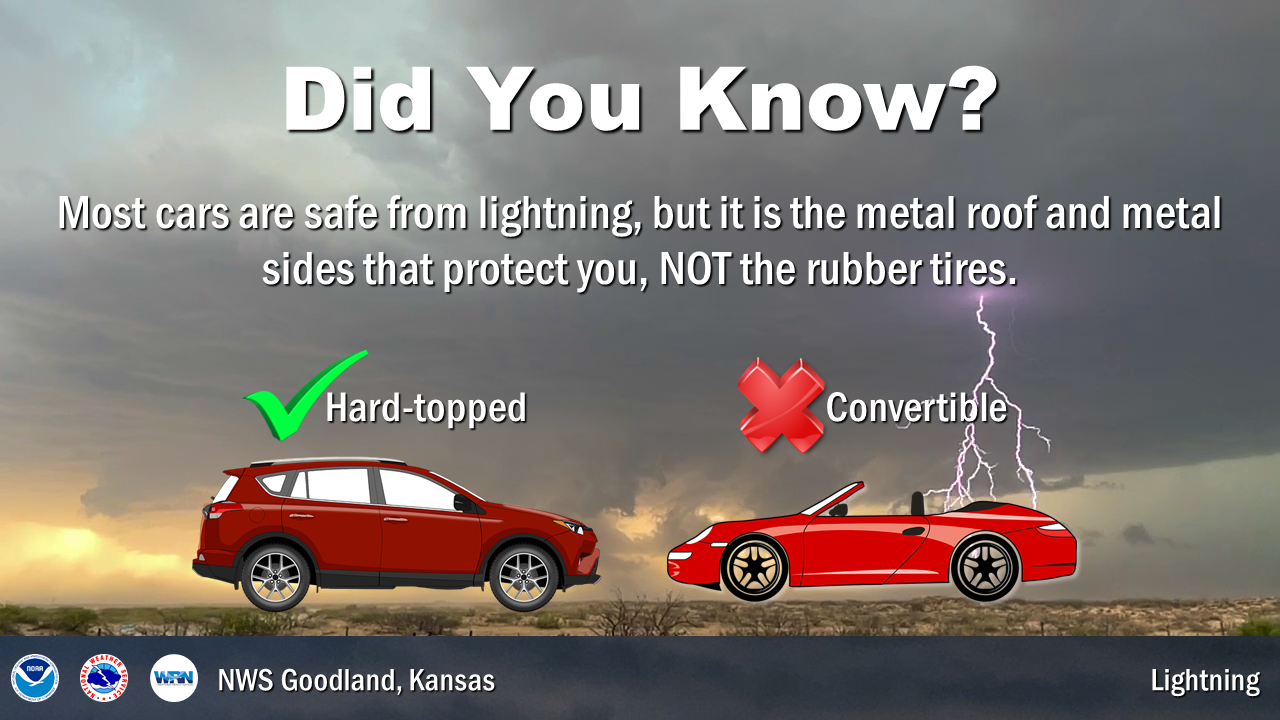
The safest thing for you to do if you are outside and lightning or thunder begins to occur is to immediately get inside a substantial fully-enclosed building, such as a house, a business or a church. Metal-topped cars and trucks also offer excellent protection from lightning. Once inside a substantial building or metal-topped vehicle, keep all windows and doors closed, and do not touch any metal inside the vehicle. It is then recommended that you wait at least 30 minutes from the last rumble of thunder before returning outside.
A recent lightning safety study has shown that 95 percent of the people who were struck by lightning while outdoors had a substantial building or vehicle nearby. Remember, there is no safe place outdoors when lightning is occurring. Do not seek shelter under picnic shelters, sports dugouts, porches, trees, carports or tents. These types of structures are not safe when lightning is occurring.
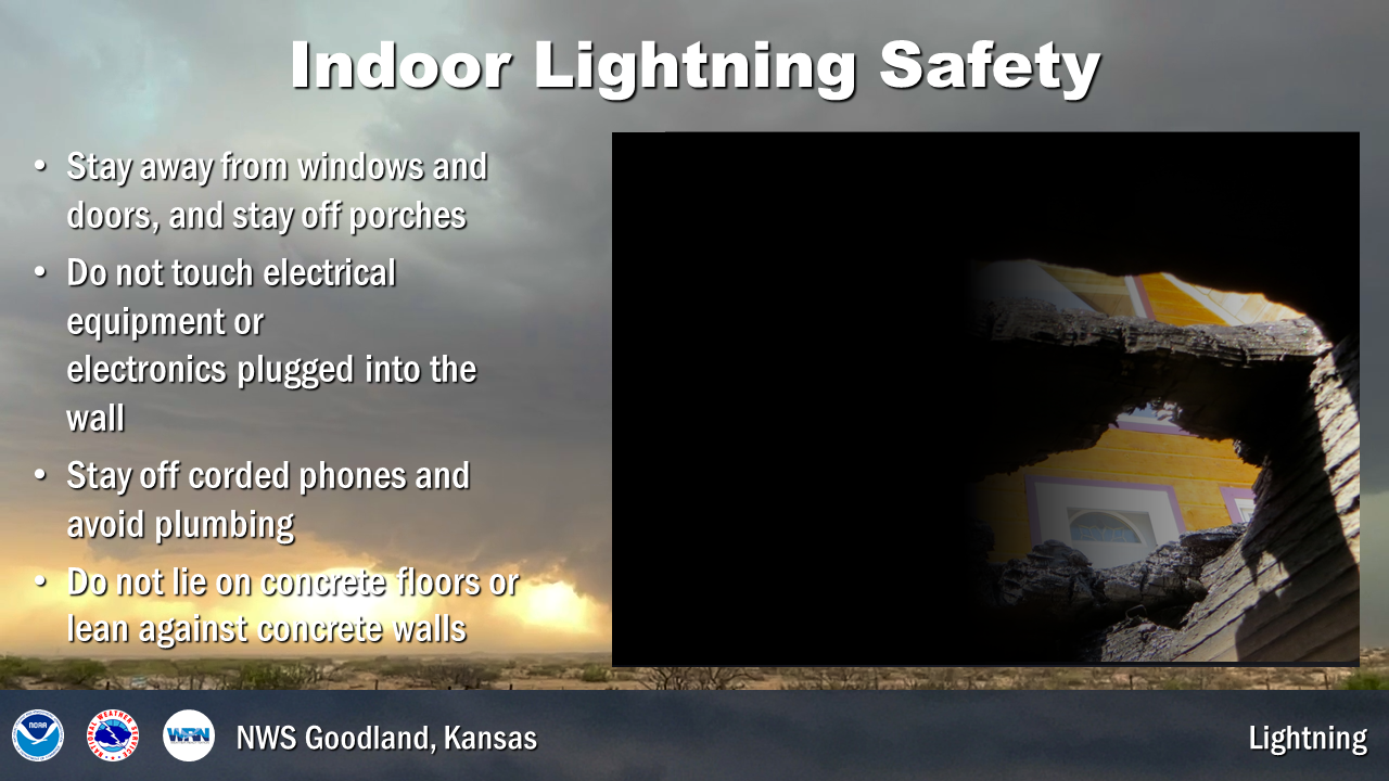
Once inside a substantial building, stay off corded telephones and away from electrical appliances since the electrical discharge can travel along the telephone lines and electrical wires to produce fatal results. Stay away from water, including showers, tubs and sinks. Even indoor swimming pools are not safe when lightning is occurring. It is also recommended that you unplug sensitive electronics such as computers when lightning is expected to occur nearby.
The best defense to protect yourself against a lightning strike is to plan ahead and avoid being caught where you might be vulnerable. Check the weather forecasts prior to venturing out. Plan your outdoor activities for early in the day before thunderstorms typically develop. Stay tuned to NOAA Weather Radio and check the National Weather Service forecasts at www.weather.gov.
It is very important that all sports leagues and other outdoor groups have a lightning response plan that is understood and consistently applied for the safety of the participants. Part of the plan would include a designated weather watcher at each outdoor event with the authority to postpone or cancel the event due to the threat of lightning.
Remember, When Thunder Roars, Go Indoors!
| Wednesday's Social Media Posts (click to enlarge): |
| Thursday: Straight-Line Winds and Damaging Hail |
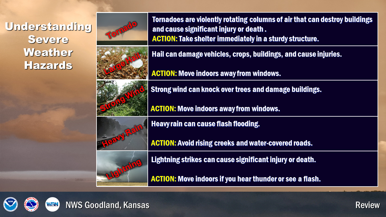
Severe thunderstorms are officially defined as storms that are capable of producing hail that is one inch or larger in diameter or wind gusts over 58 mph. These severe storms frequently make their presence known across the High Plains. Significant severe weather, or wind gusts greater than 75 mph and hail larger than 2 inches in diameter, are also not uncommon. On average, 100 severe wind reports and 250 large hail reports are received each year in the area served by NWS Goodland.
When thunderstorms threaten you this severe weather season, tune to NOAA Weather Radio All Hazards. Wherever you are during threatening weather, plan out the actions you would take if severe weather were to strike.
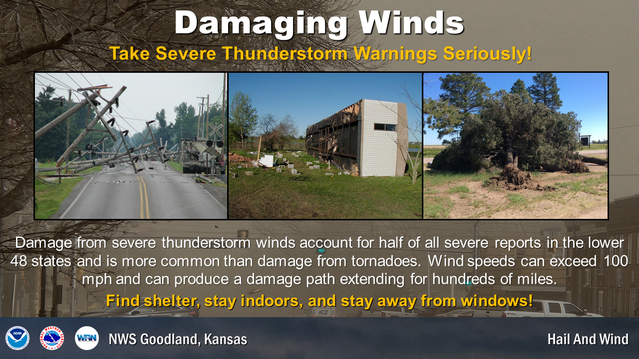
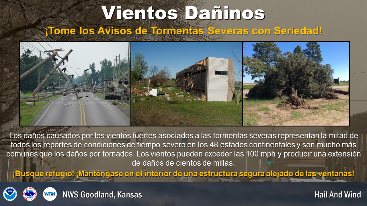
Tornadoes are often the headline story, but damaging straight line winds can also injure and kill animals and humans. Damage from severe thunderstorm winds account for half of all severe reports in the lower 48 states and is more common than damage from tornadoes. These winds are usually caused by an area of air within a storm which is quickly cooled by precipitation, or by the evaporation of precipitation. This area of cooled air, which is heavier than the surrounding air, accelerates downward. As the cool air slams into the ground, it spreads out from the area of impact.
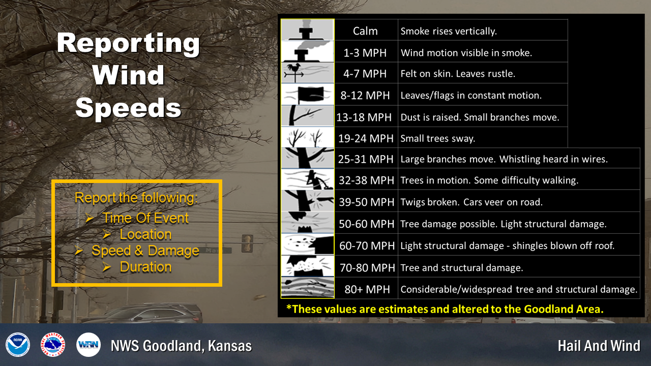
When winds are sustained at 40-50 mph, isolated wind damage is possible. Widespread significant wind damage can occur with higher wind speeds, especially those produced by severe thunderstorms when speeds can reach or exceed 100 mph. High winds can blow objects around and pose a significant threat to your safety. Understanding the risks can help you prepare for these events.
Try to get indoors during all storms. Strong winds can suddenly develop, causing things on the ground to become swiftly moving missiles that can injure or kill. When damaging winds are in the area, stay away from outer walls and windows. If you are in a mobile home, seek shelter elsewhere as with tornadoes. If the wind hits your mobile home just right, it can be flipped, even if it is tied down. Do not seek shelter under trees due to the lightning threat and falling limbs or tree trunks.
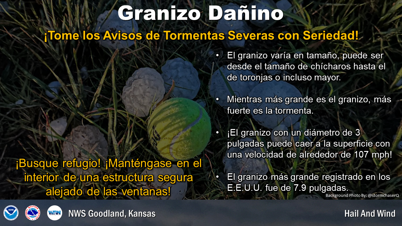
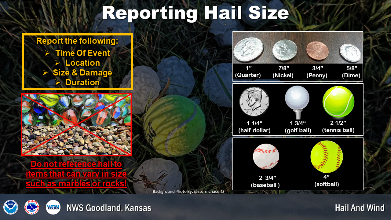
Hail forms within storms as liquid water freezes in the cold mid and upper levels of the storms. The hailstones are kept aloft by strong updraft winds for a time, and then cascade to the ground. Hailstones vary from pea size, around 3/8 of an inch in diameter, to softball size, around 4 1/2 inches in diameter. At times, even larger hailstones have been recorded.
Hailstones can do tremendous damage to crops, either as large hailstones, or as a large volume of small hailstones that accumulate to a depth of several inches. Large hail damages vehicles and buildings, and can be life threatening to animals and people. When you hear of a severe thunderstorm warning, move to shelter. When it comes to hail, any roof over your head is a great place. Stay away from windows as glass shards are often sent flying when hail strikes.
If you are in your vehicle and drive into a hail storm, pull over and stop. Do not stop in the middle of the road. Also, do not stop under an overpass; when you do, traffic is blocked, including first responders trying to help others. Once stopped, duck down and shield your eyes from any flying glass.
If you are out in the open, try to find shelter immediately. Isolated trees are not a good idea as lightning could strike. Find a vehicle or a nearby structure.
| Thursday's Social Media Posts (click to enlarge): |
| Friday: Flood and Flash Flood Safety |
Floods and flash floods are no stranger to the High Plains, particularly during the spring and summer months. Flooding occurs every year. In fact, the area served by NWS Goodland averages 31 flood or flash flood events per year. Many of these events consist of rural roads being washed out or high water reported in towns. However, more significant events have occurred.
Many are familiar with the historical flood that occurred in the Republican River basin from May 31st to June 2nd, 1935. This flood killed an estimated 110 to 113 people, 94 in Nebraska alone. Damage was extensive with property damage estimated at $26 million (this is $478 million in 2019 dollars). Even as recently as September 3rd, 2016, significant flooding occurred in the region. A heavy rainfall event produced major flooding along the North Fork of the Solomon River impacting Norton and Graham Counties in northwest Kansas. Unfortunately, one driver lost his life in the swift flood waters.
For an in-depth review of the Republican River Flood, please see this web page: http://www.weather.gov/gld/1935flood
| Flash Flooding: What is it? |
A flood is an overflow of water onto normally dry land. It is caused by rising water in an existing waterway, such as a river, stream, or drainage ditch. Flooding is a longer term event than flash flooding and may last days or weeks at a time.
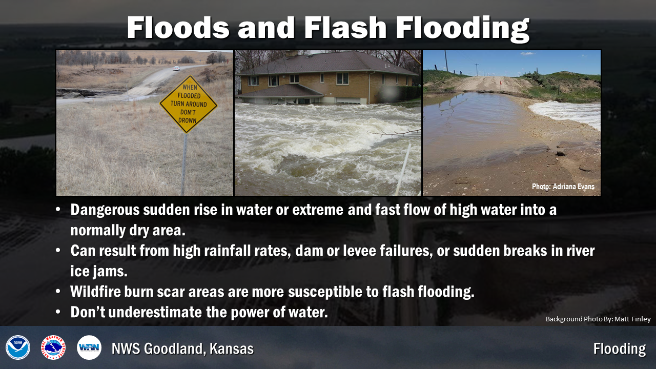
A flash flood is a rapid rise of water along a stream or low-lying urban area. It is caused by heavy or excessive rainfall in a short period of time, generally less than six hours. They can occur within minutes or a few hours of excessive rainfall. They can also occur if no rain has fallen, for instance after a levee or dam has failed, or after a sudden release of water by a debris or ice jam.
Flash floods are often produced when slow moving or multiple thunderstorms occur over the same area. They are quite destructive because of the force of the moving water, and the debris that accumulates in flood waters, such as trees and boulders, which can destroy roadways, bridges, and buildings. Flash flood damage and most fatalities tend to occur in areas immediately adjacent to a stream or arroyo (a watercourse, such as a creek, in an arid region that is typically dry).
| Flood and Flash Flood Safety: |
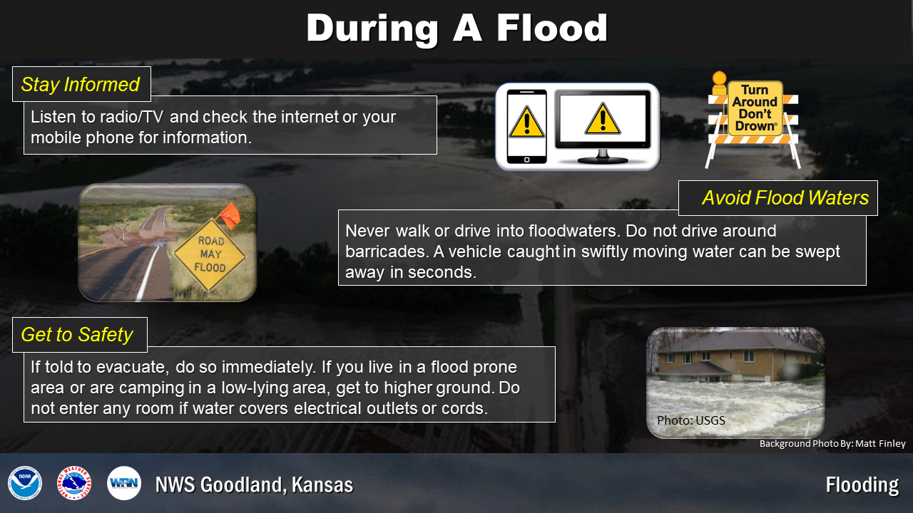
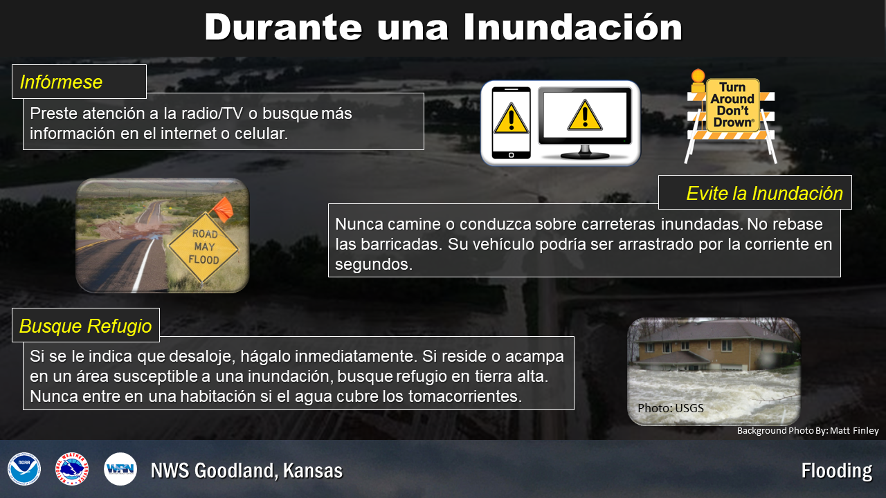
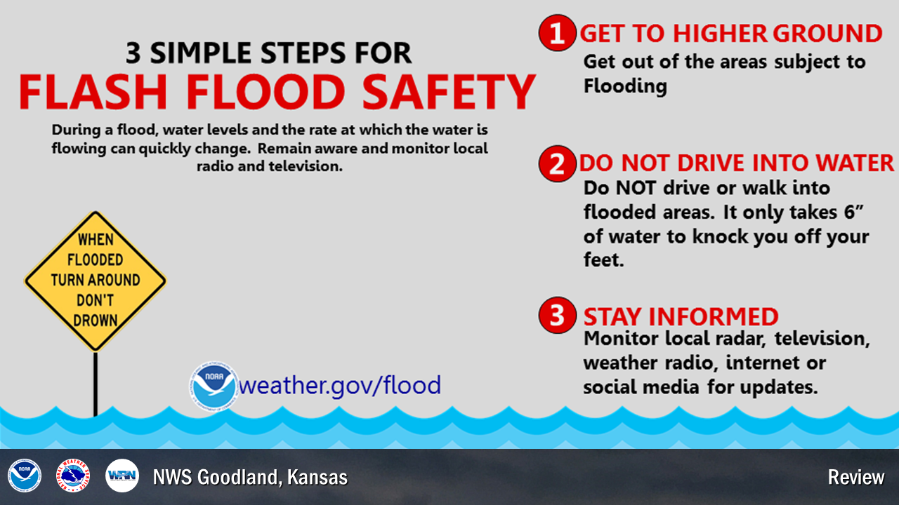
If threatened by a flood, stay informed by listening to radio/TV and checking the internet. Get to higher ground immediately if you live in a flood prone area or are camping in a low lying area. If told to evacuate, do so right away. If you have time, disconnect utilities and appliances. Don't go into a basement or any room if water covers the electrical outlets or if cords are submerged. Avoid flood waters!!
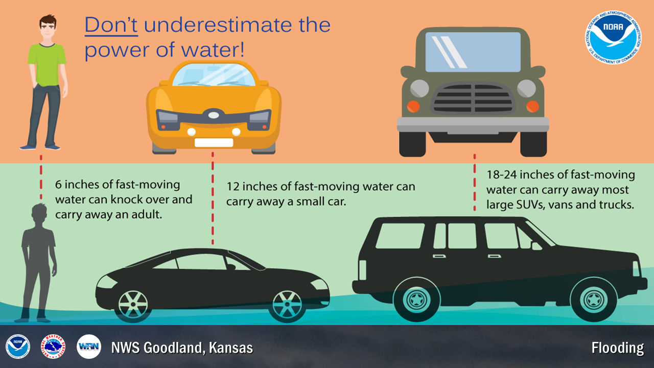
Most flood fatalities occur in vehicles. During flash floods, motorists can lose control of their vehicle in as little as six inches of moving water. Twelve inches of fast moving water can carry away a small car while 18 to 24 inches can carry away most large SUVs, vans, and trucks. Are you sure the road is still there? Choose to be safe and find an alternate route home! Do not enter a flooded roadway or drive around a barricade, instead Turn Around, Don’t Drown. Water may be deeper than it appears and can hide hazards such as sharp objects, washed out road surfaces, electrical wires, chemicals, etc. Do not walk or swim through dirty flood waters either. It only takes six inches of moving water to knock you off your feet.
| Friday's Social Media Posts (click to enlarge): |
| Saturday: Review of the Week |
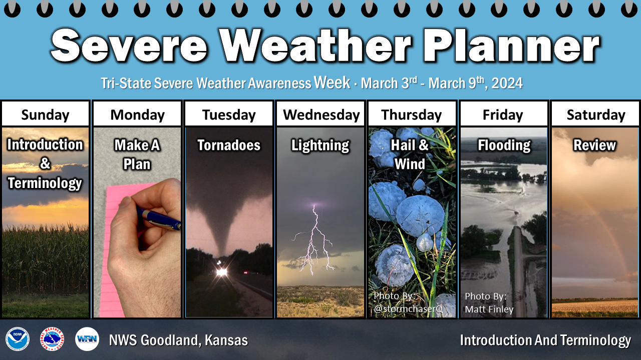
Severe Weather Awareness Week for the High Plains concludes today. During the past week we have presented information and safety rules for tornadoes, lightning, floods and flash floods, straight-line thunderstorm winds, hail, and our warning programs.
Now it's time to review some of the most important safety rules in our effort to promote a Weather-Ready Nation.
Before severe weather threatens, plan the actions you will need to take so that you will be prepared when dangerous weather conditions actually develop. Ready.gov is a great resource. Ensure you have emergency kit with supplies to last at least 72 hours. Be sure to stay informed on expected weather in your area. The NWS is typically aware of the potential for severe weather many hours or even days before any severe weather watches or warnings are issued, providing forecast products to heighten your awareness. Monitor NWS Goodland online, on Facebook, and on Twitter.
A Watch is issued when conditions for severe weather or flooding are possible. A Warning is then issued when life threatening weather or flooding are imminent or occurring. When thunderstorms threaten, tune to NOAA Weather Radio, monitor weather apps, follow trusted websites or social media pages, or tune into your local radio or television stations. Also check the National Weather Service office website serving your area.
The best way to protect yourself from tornadoes is to have a plan of action. The safest place to be if a tornado approaches is in a basement or safe room within a well-built structure, or in an underground storm shelter. If none of these options are available, move to a hallway or a small interior room on the lowest floor, usually this is a closet or bathroom. Get under a heavy piece of furniture or in a bath tub and cover yourself with blankets. Remember, the greatest risk of injury from tornadoes is from flying debris. Modular homes and mobile homes, even those tied down, offer little protection from tornadoes. If a tornado approaches, leave those locations and seek safety in a nearby sturdy building or storm shelter. For tips on what to do when driving or caught outside, visit here.
The best defense to protect yourself against a lightning strike is to plan ahead and avoid being caught where you might be vulnerable. Check weather forecasts prior to venturing out, especially if you are heading into the mountains. If thunderstorms threaten, seek shelter in a building or in an enclosed metal-roof vehicle, making sure all windows and doors are closed. You should wait at least 30 minutes after the last sound of thunder before resuming outdoor activities.
Remember…When Thunder Roars, Go Indoors!
| Straight-Line Winds and Large Hail: |
Straight-line winds from thunderstorms can become quite strong, even reaching speeds in excess of 100 mph in extreme cases. When thunderstorms approach, high winds can suddenly develop, causing items on the ground to become dangerous flying objects with a potential force to injure or kill. At times, hail exceeds the size of baseballs, falls at more than 100 mph, and thus poses a significant danger to animals and people. Hail also produces considerable damage to crops and personal property each year. Get indoors before thunderstorms arrive and stay away from windows. Make efforts to protect personal property before storms threaten. If you live in a mobile home, heed severe thunderstorms warnings and head to a more sturdy structure.
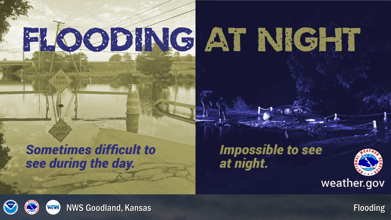
When flooding or flash flooding is possible, you should remain alert and be ready to quickly evacuate to higher ground or climb to safety. Flash floods often occur suddenly and without warning. At least half of all flash flood fatalities are vehicle related. While driving your automobile or truck, look out for flooding at highway dips, bridges and low areas. Two feet of moving water will carry away most vehicles. Be especially cautious at night when it is difficult to see flood dangers. Never attempt to drive across a flooded road, instead Turn Around, Don’t Drown!
| Saturday's Social Media Posts (click to enlarge): |
 |
Media use of NWS Web News Stories is encouraged!
Please acknowledge the NWS as the source of any news information accessed from this site. |
 |


