
Dangerous heat will expand from the Gulf Coast into the Southern Plains and Desert Southwest through week's end. Additional extreme heat impacting the Pacific Northwest will shift to the northern Plains by the weekend. Tropical Storm Bertha is expected to continue to impact portions of the northern Gulf Coast from the western Florida Panhandle to southeastern Louisiana through tonight. Read More >
| Hazardous Weather Products and Tools from the Storm Prediction Center | ||||
 Day 1 Convective Outlook |
 Day 2 Convective Outlook |
 Day 3 Convective Outlook |
||
 Days 4-8 Convective Outlook |
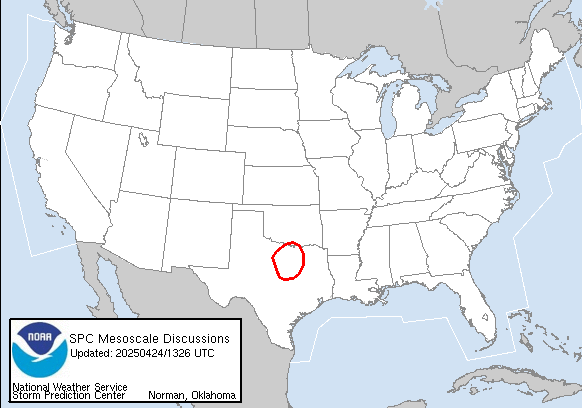 Mesoscale Discussions |
 Current Convective Watches |
||
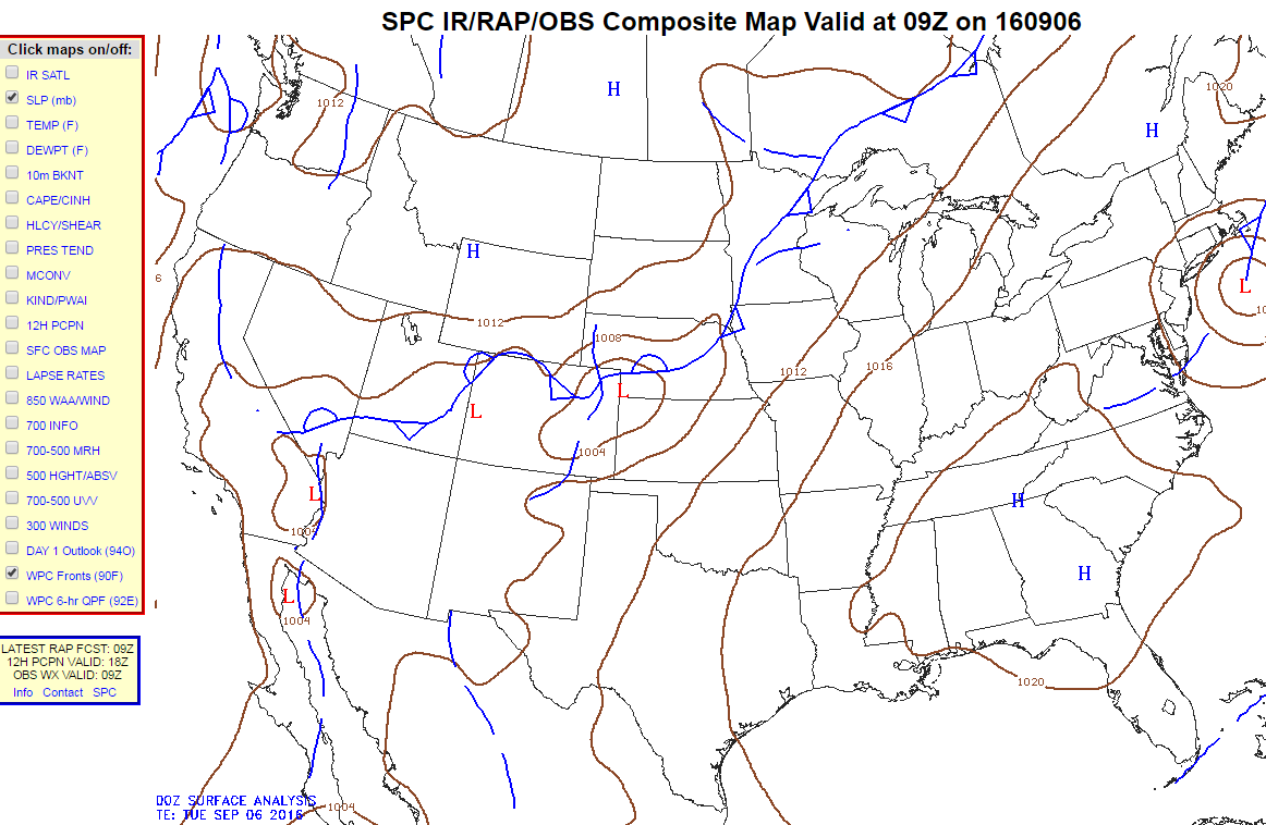 Composite Maps |
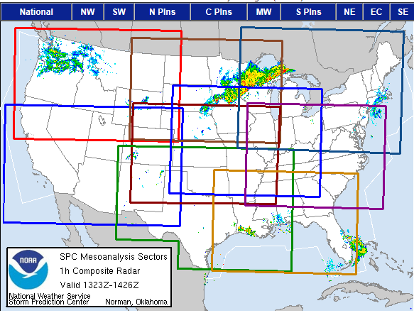 Mesoanalysis Graphics |
 Short-Range Ensemble (SREFs) |
||
| Tennessee Valley Graphical Hazardous Weather Outlook at a Glance | ||||
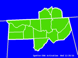 EMA Activation |
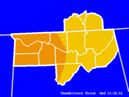 T-Storm Threat |
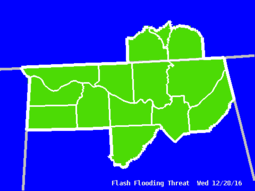 Flash Flood Threat |
||
 Primary Weather Threat |
 Winter Weather Threat |
 Winter Weather Probability |
||
| Storm Reports |
||||
 |
||||
|
National NWS Storm Report Maps
(from the Storm Prediction Center) |
||||
|
Regional NWS Storm Reports
|
||||
| Related Links | ||||
| Experimental XML/RSS Feeds of Watches/Warnings/Advisories - More Information National Severe Storms Laboratory College of DuPage Text Products | Ohio State University Severe Weather |
||||
|
|
||||


 Local Radar
 Weather Map