A cold front will sweep eastward today accompanied by strong to severe thunderstorms for the mid-Atlantic and Northeast today. In the wake of this cold front, autumn like temperatures and gusty winds from the Plains, Mississippi Valley, Great Lakes to most of the eastern seaboard. Fire weather conditions for lower Mississippi Valley into portions of California. For Guam, a typhoon is approaching. Read More >
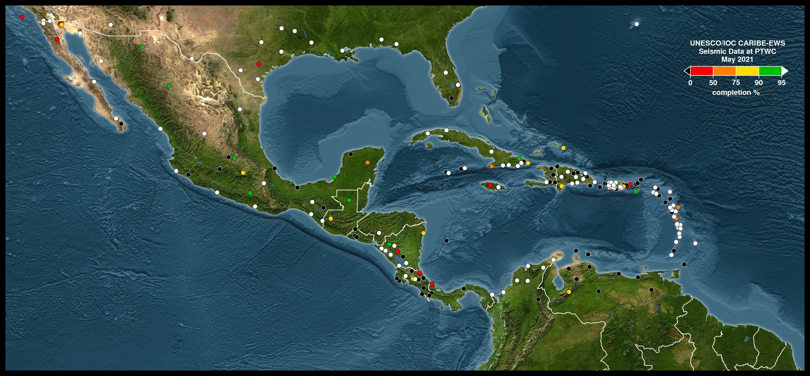
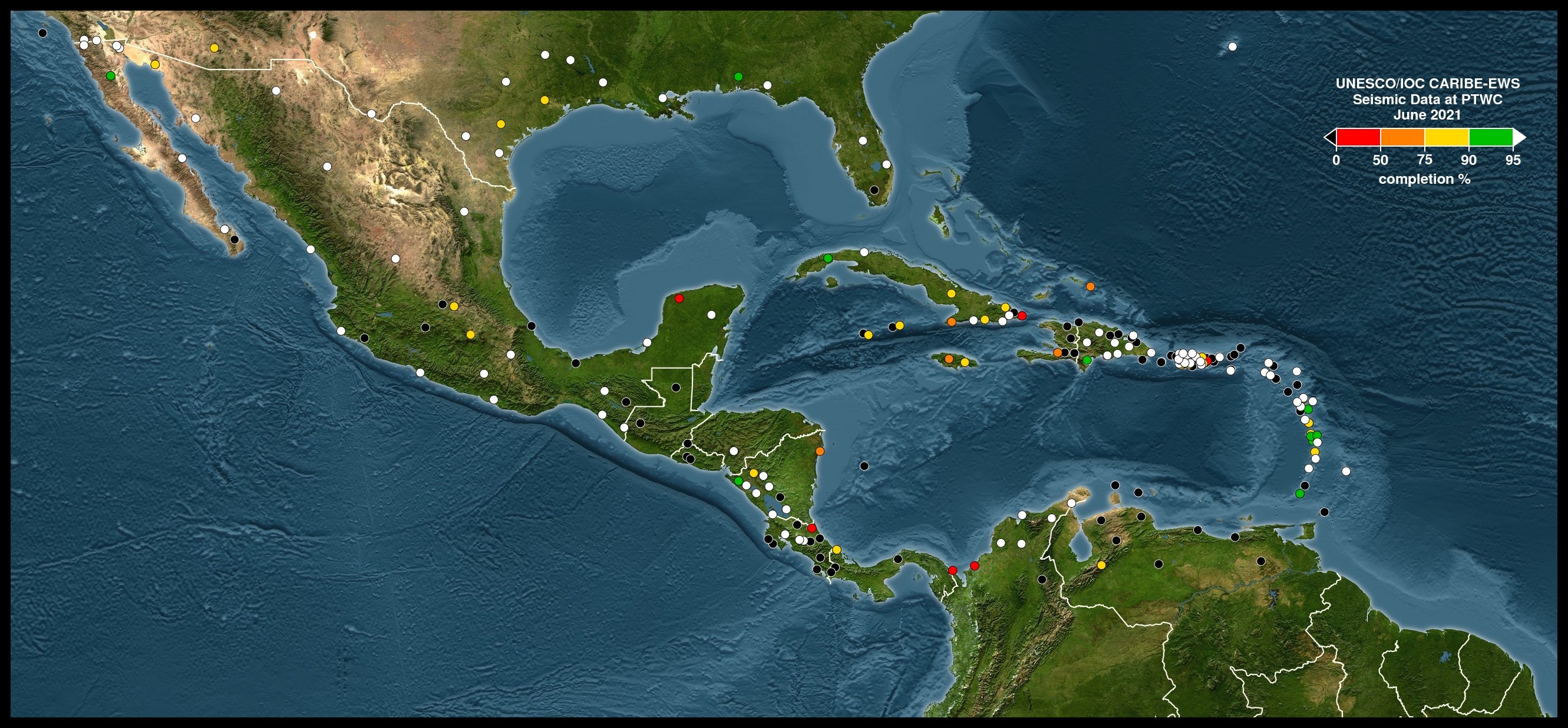
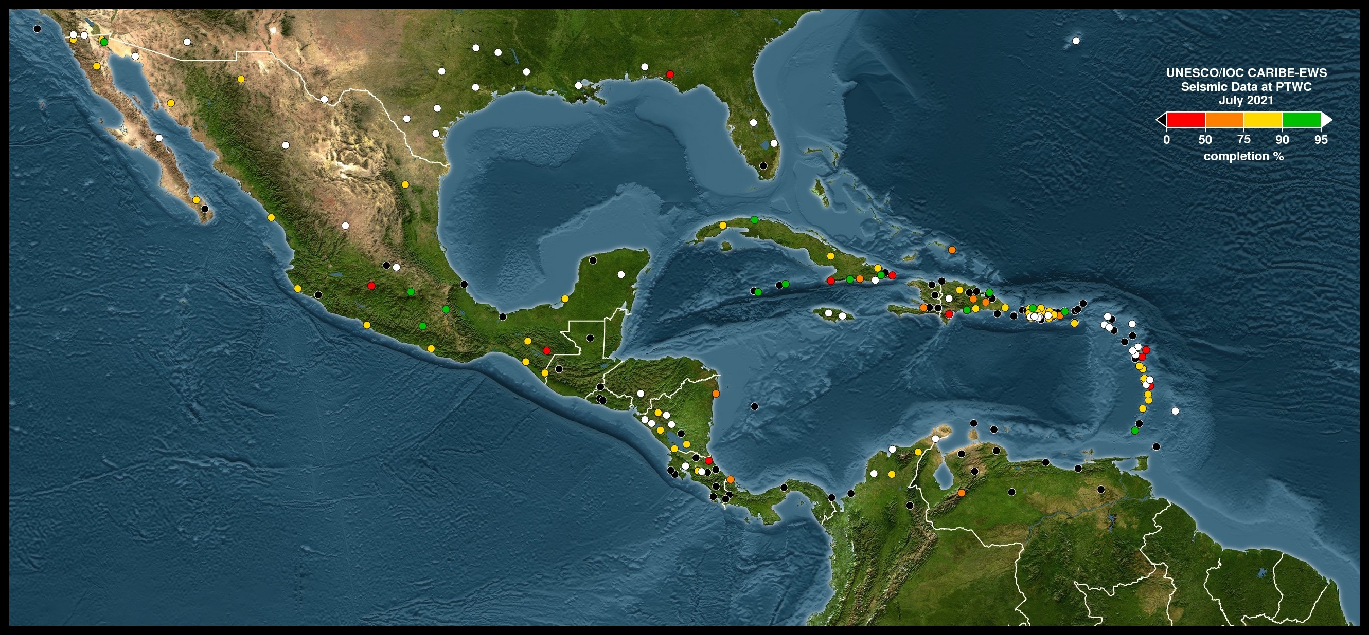
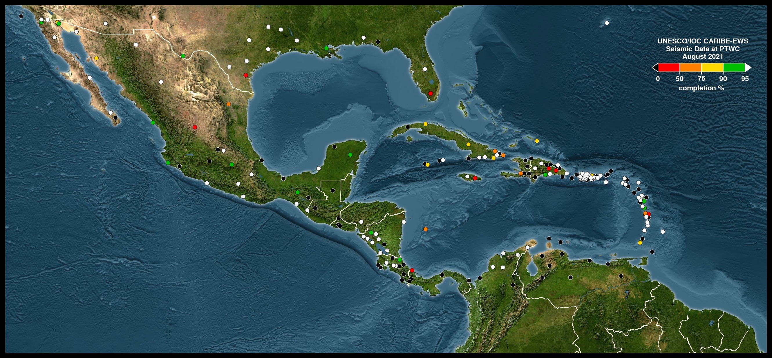
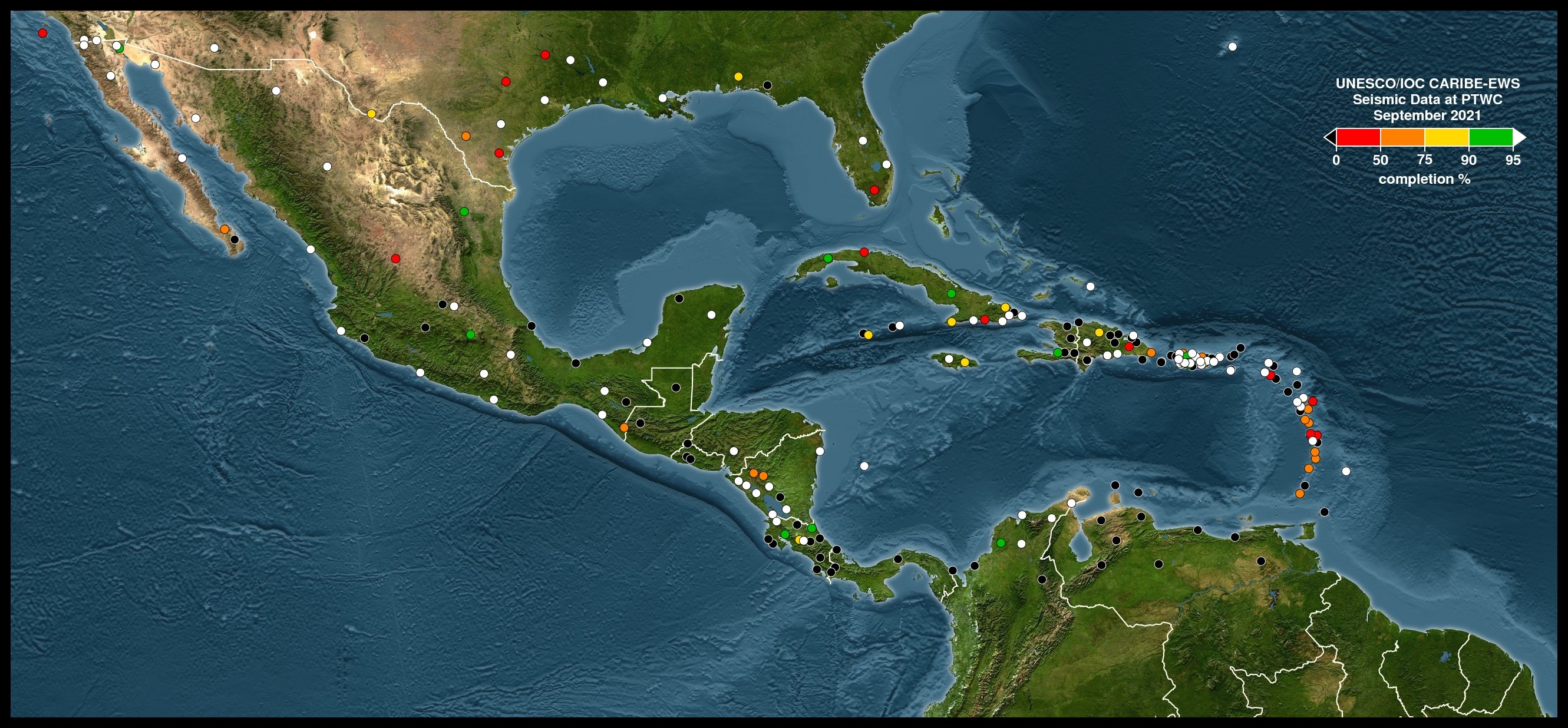
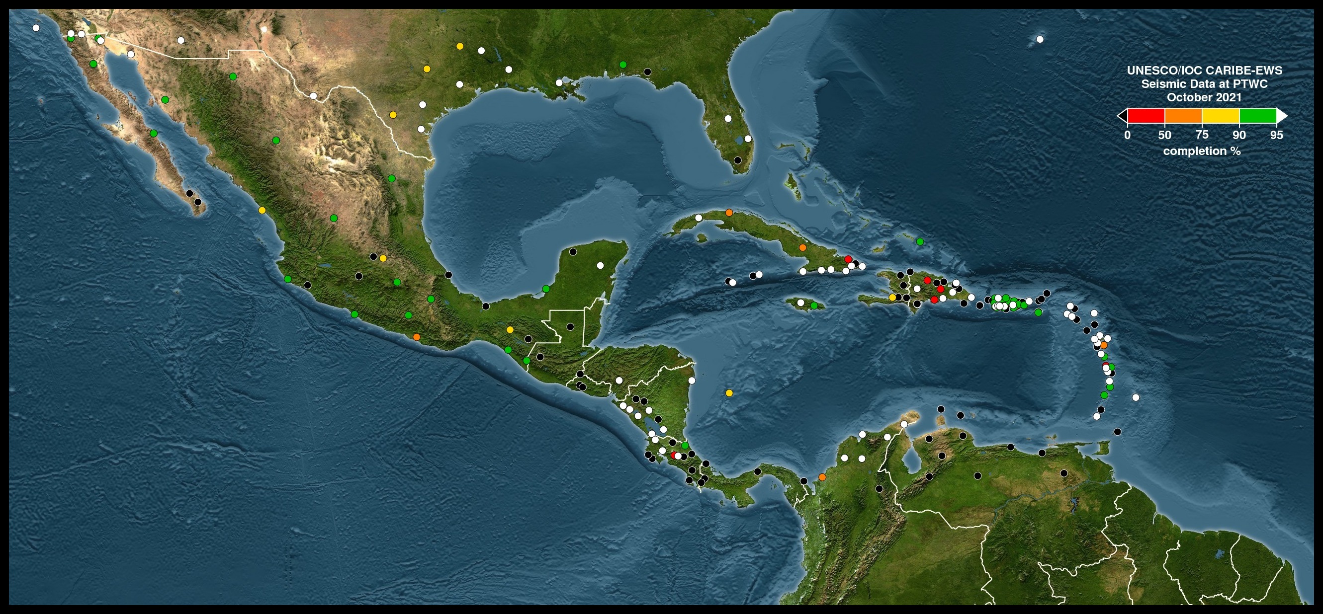
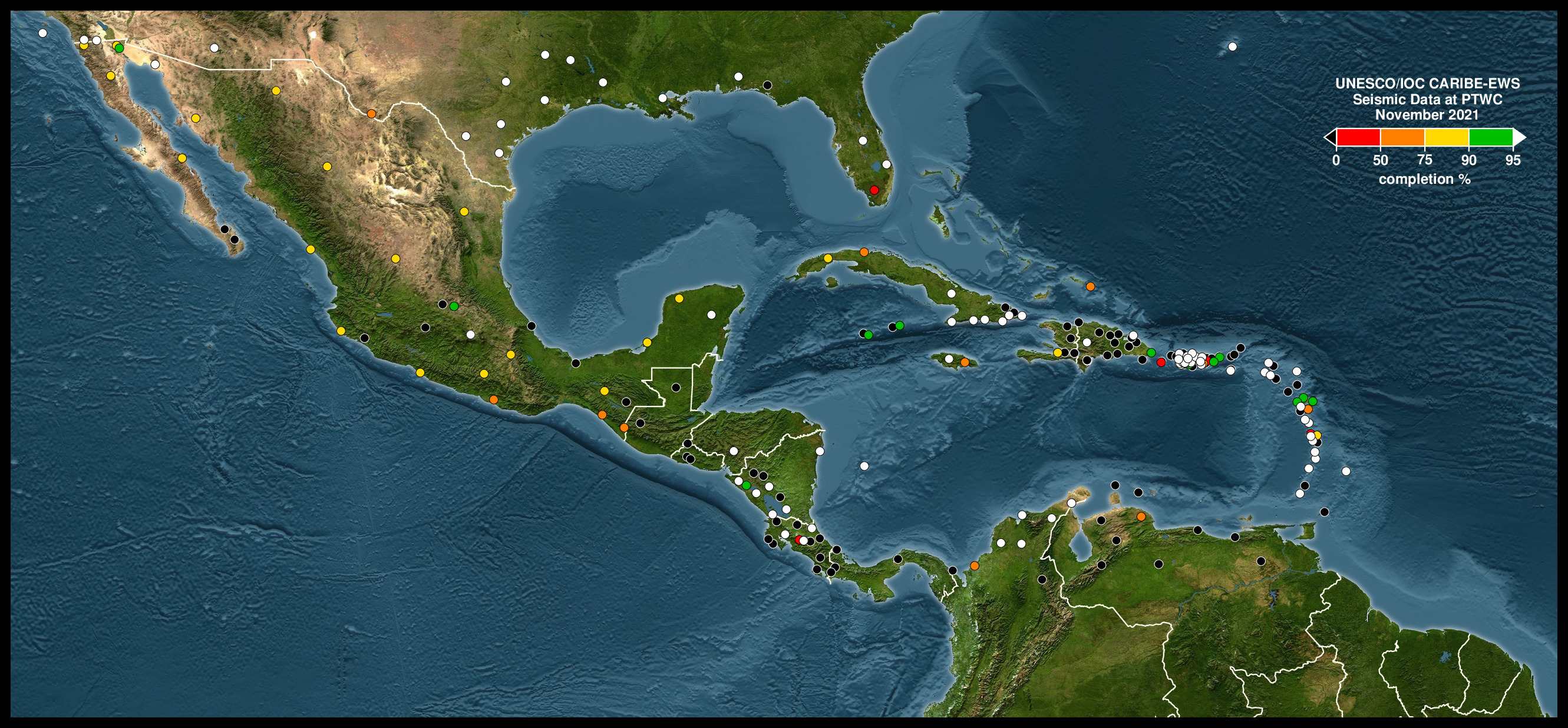
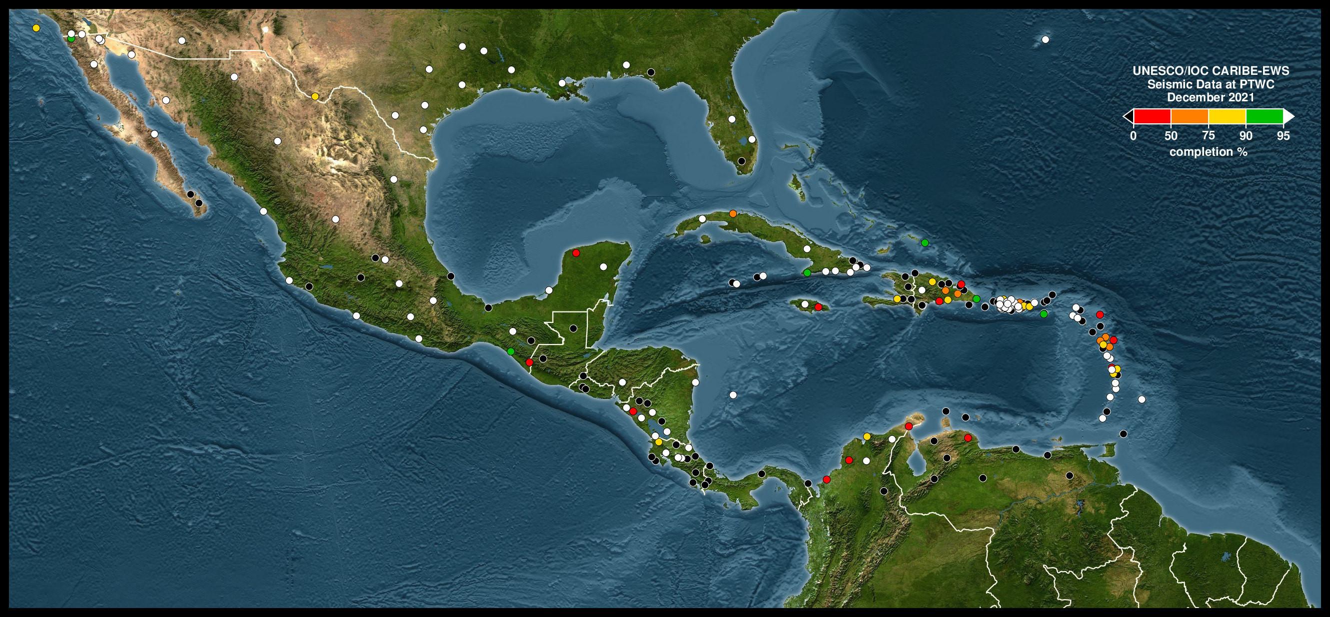
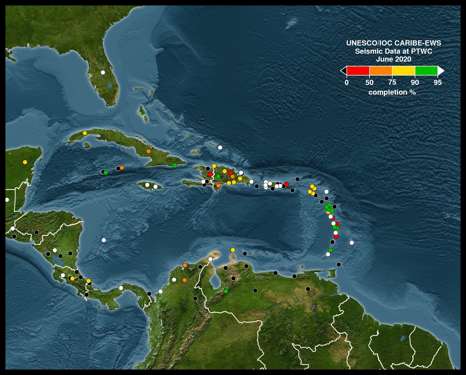
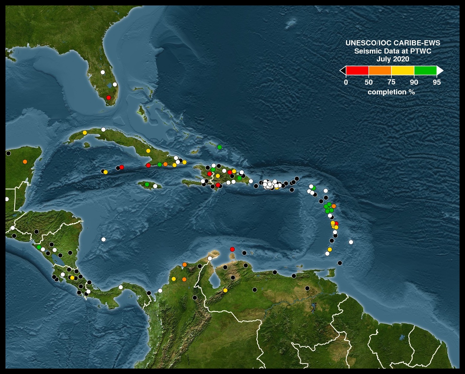
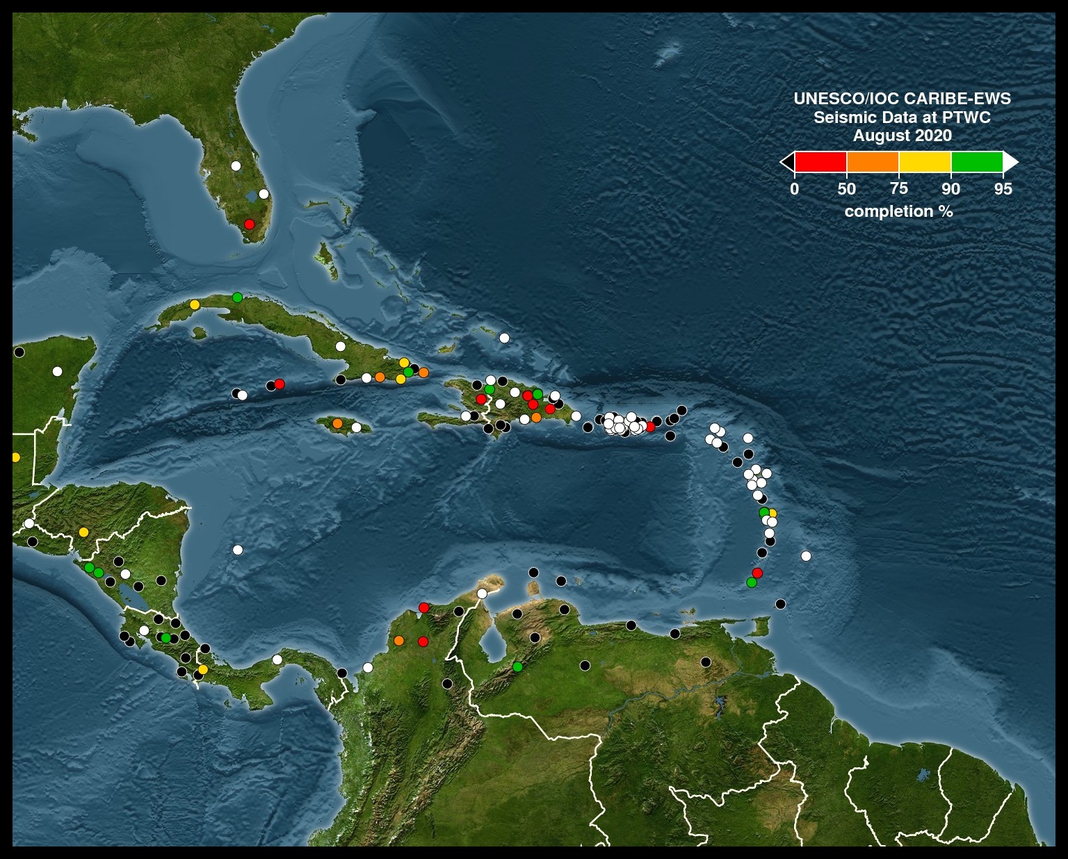
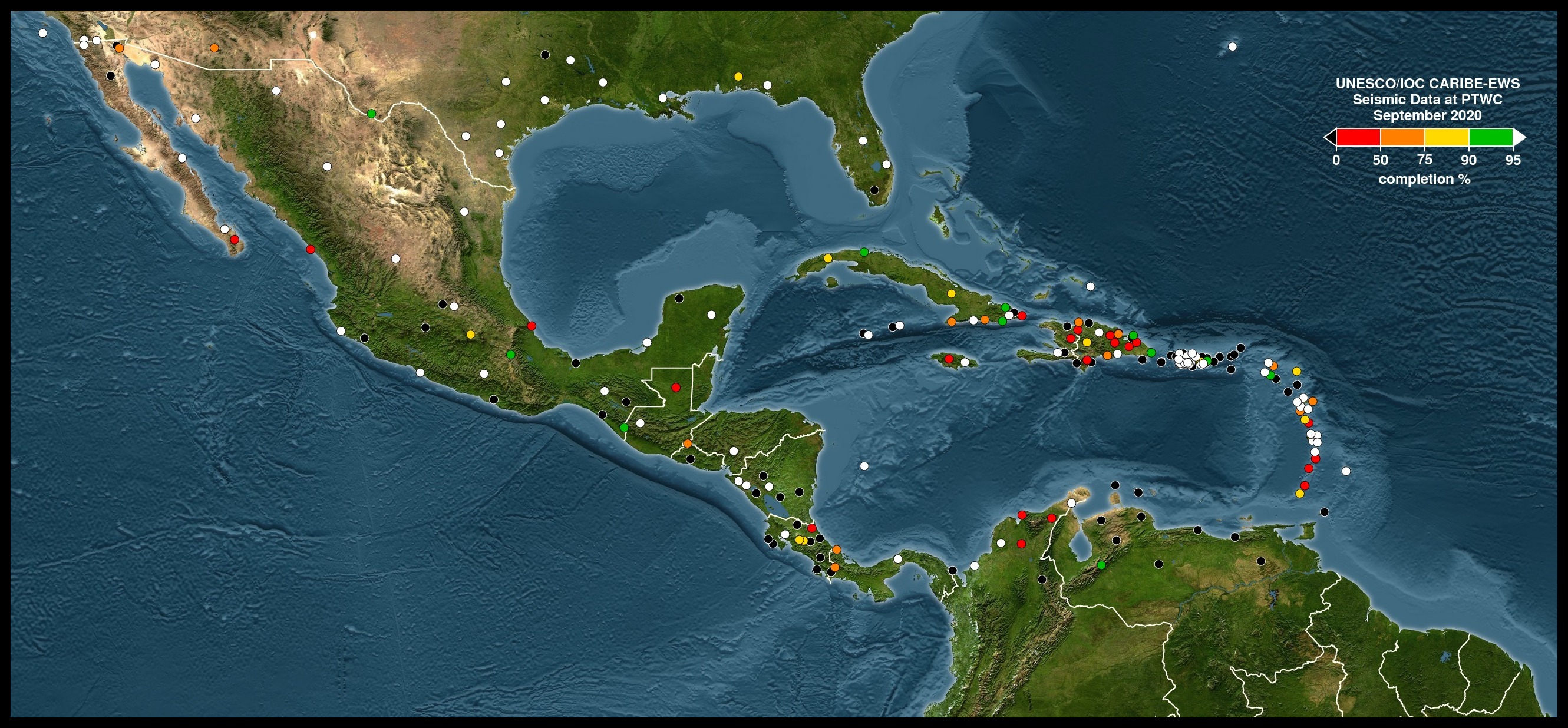
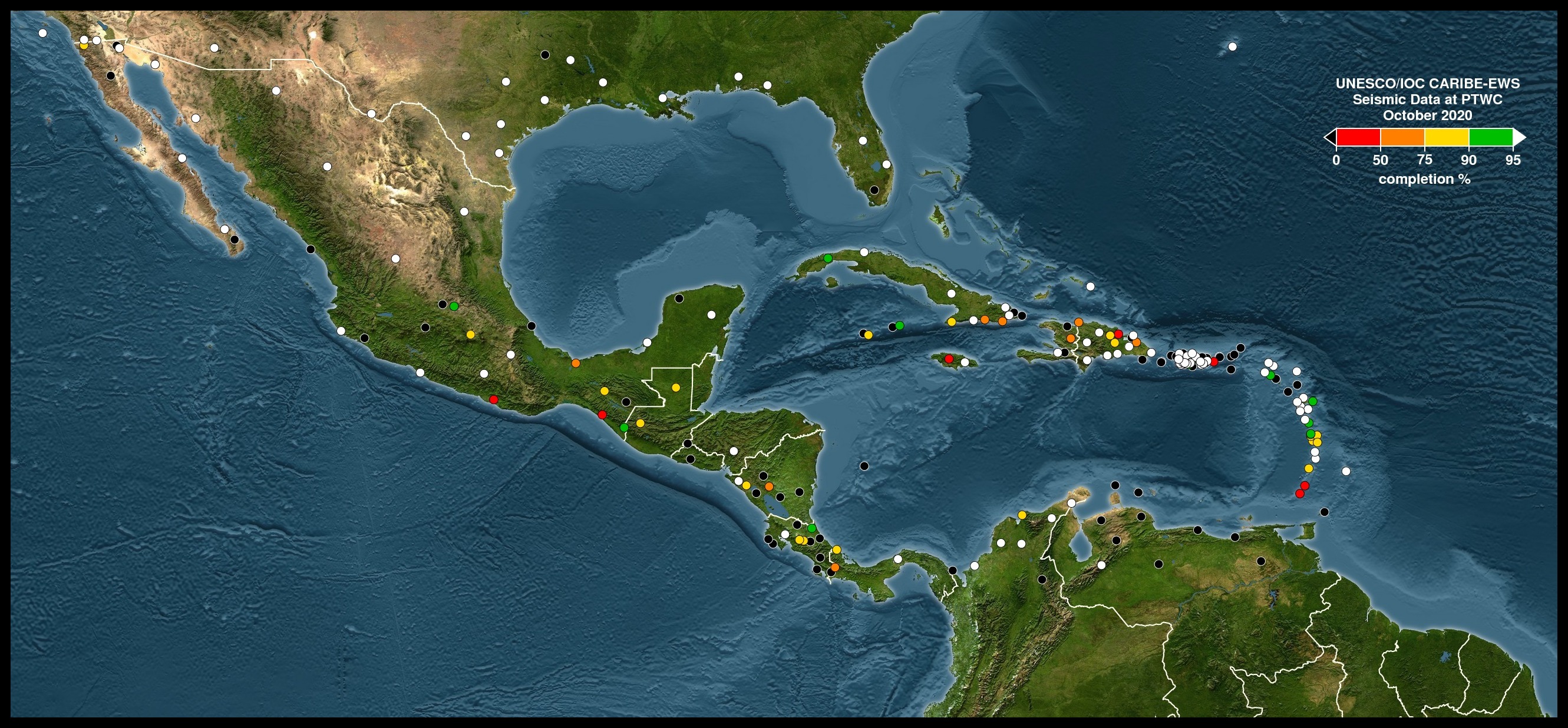
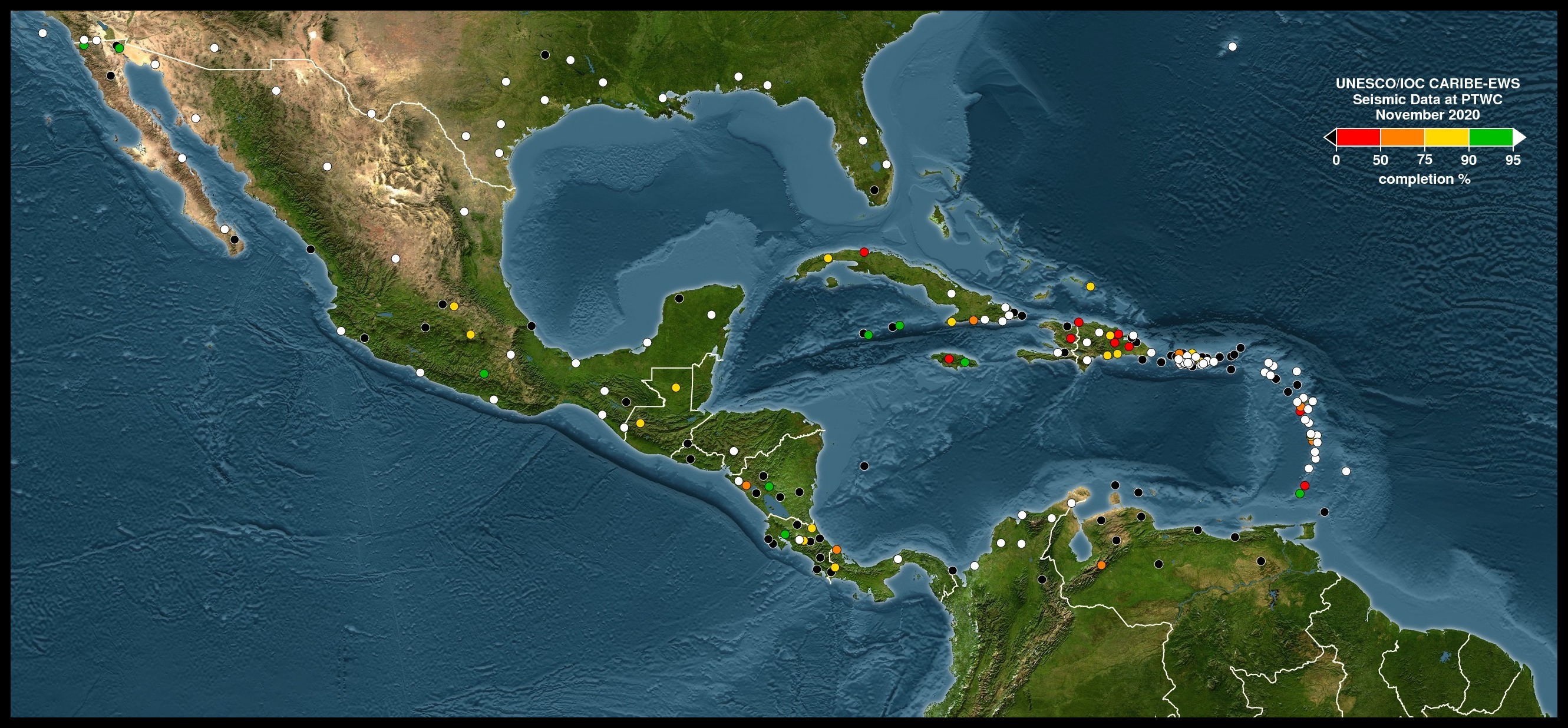
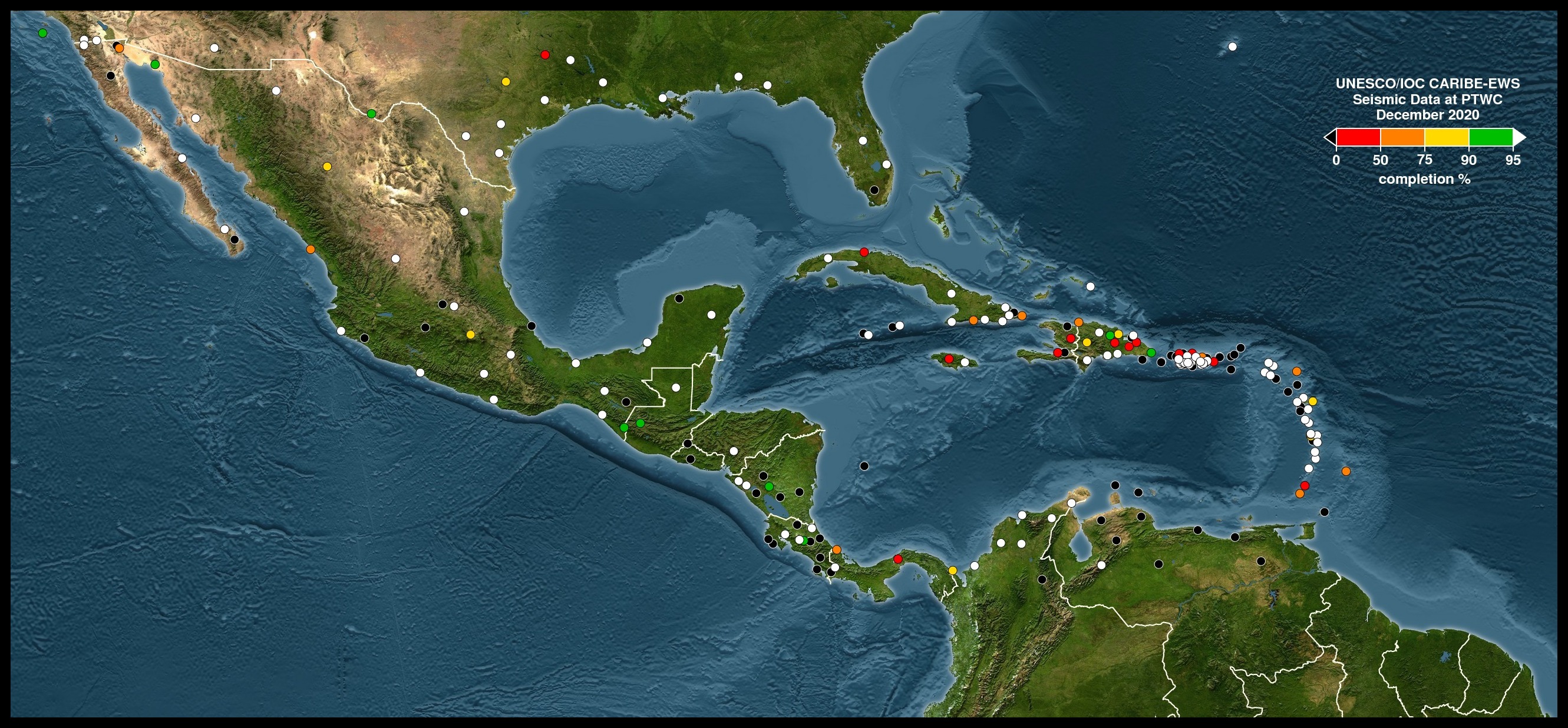
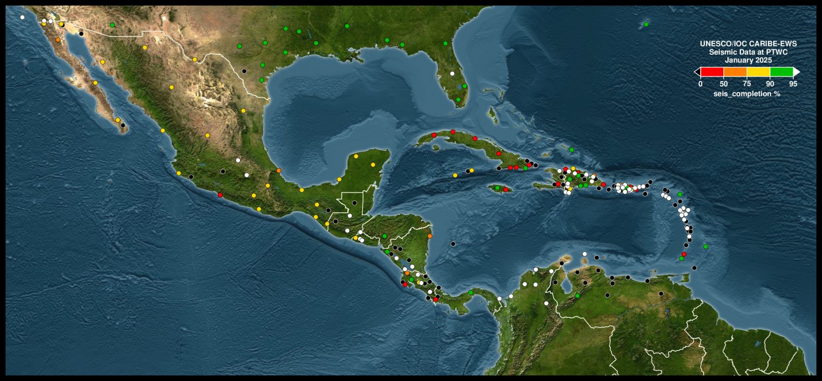
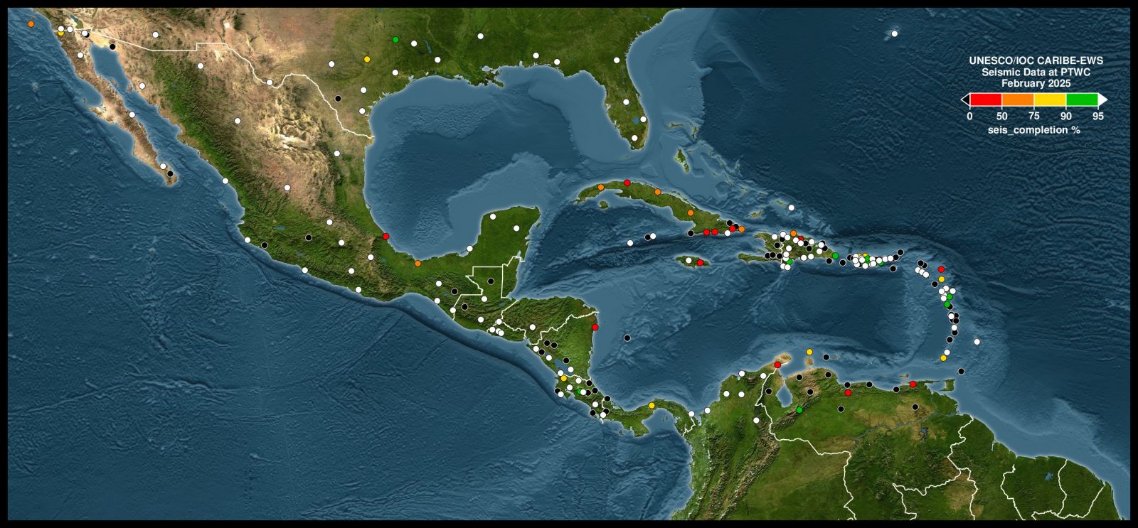
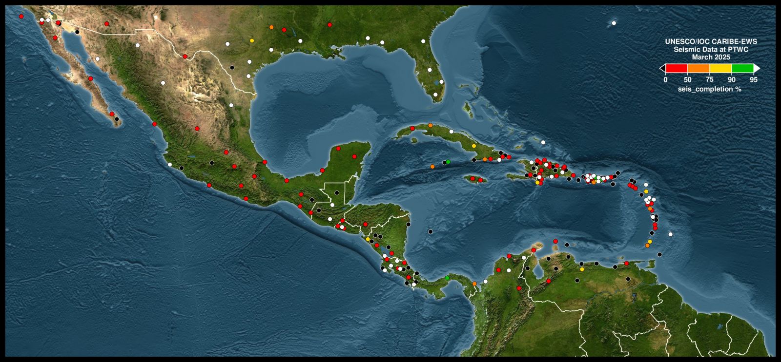
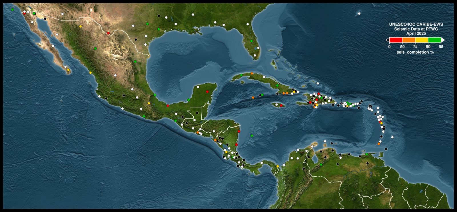
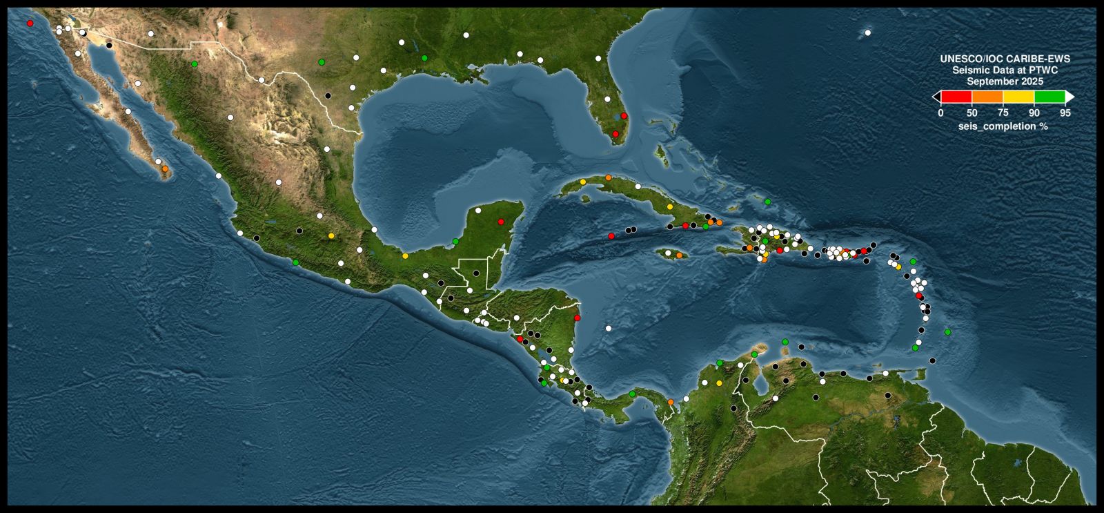
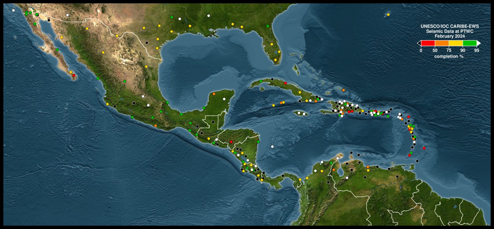
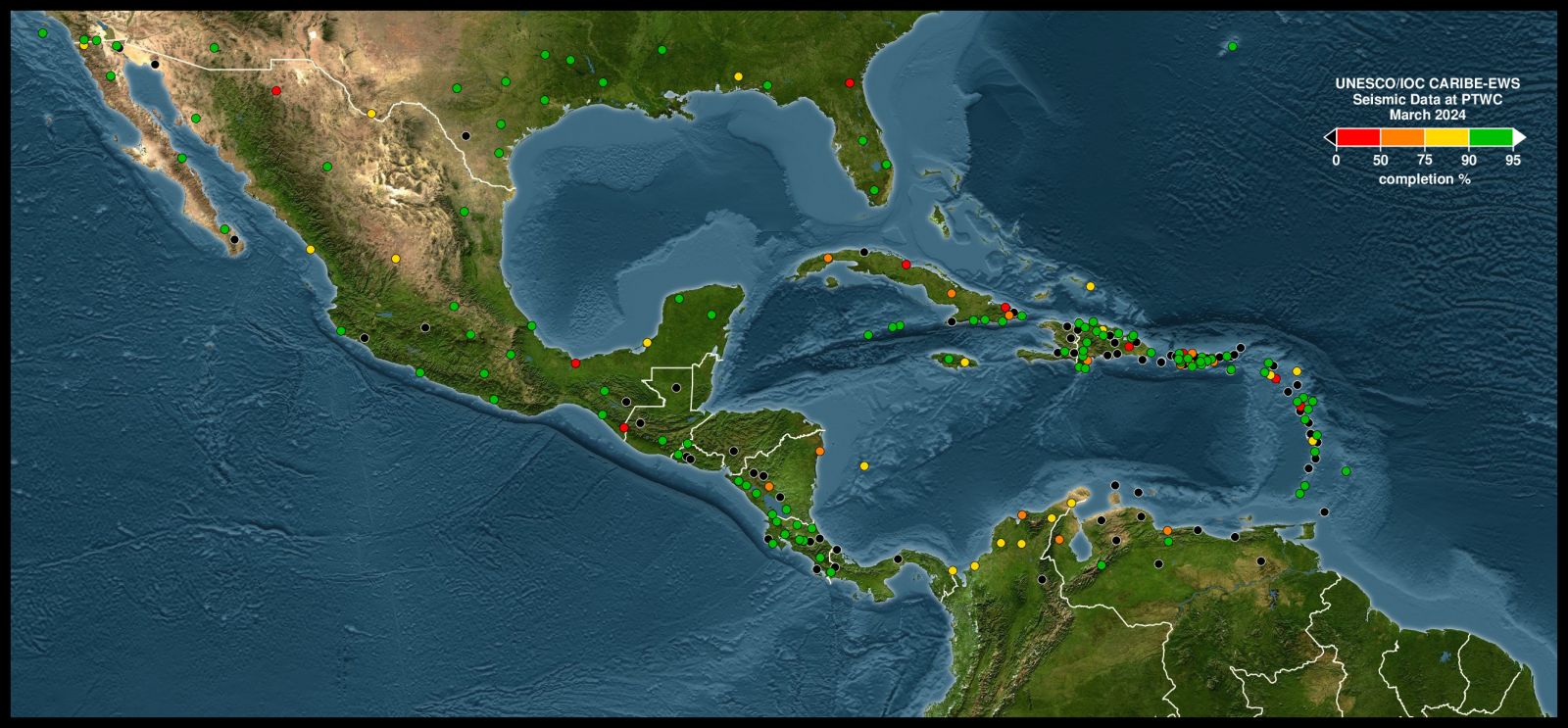
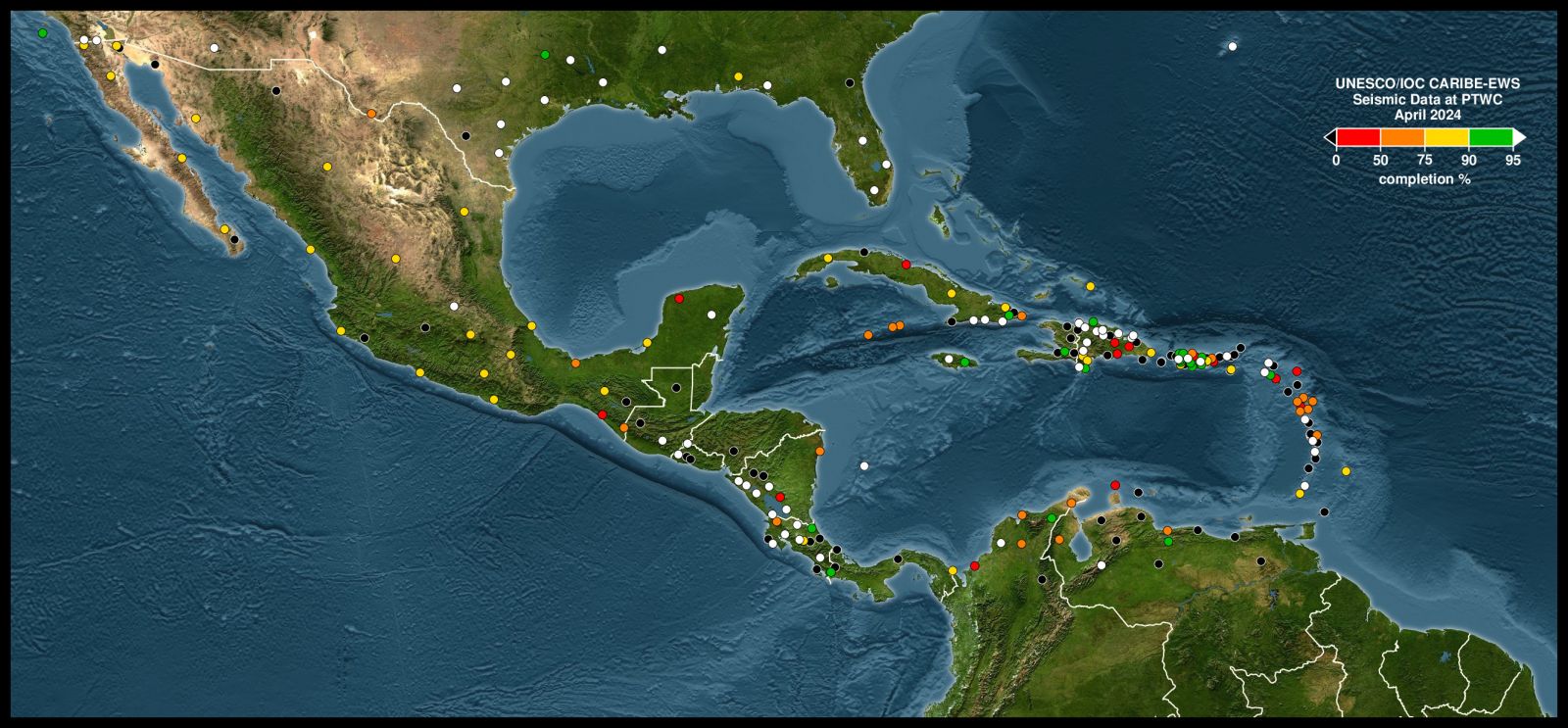
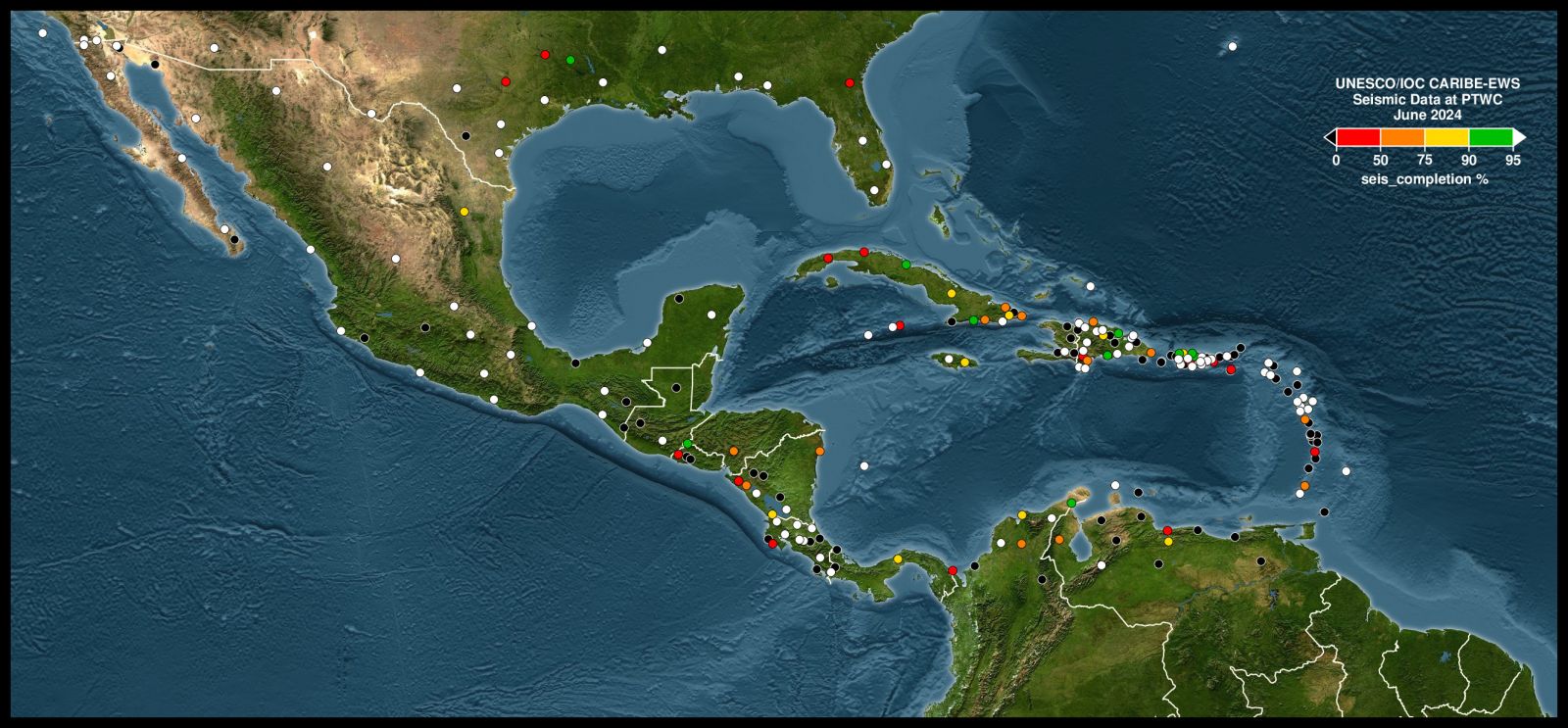
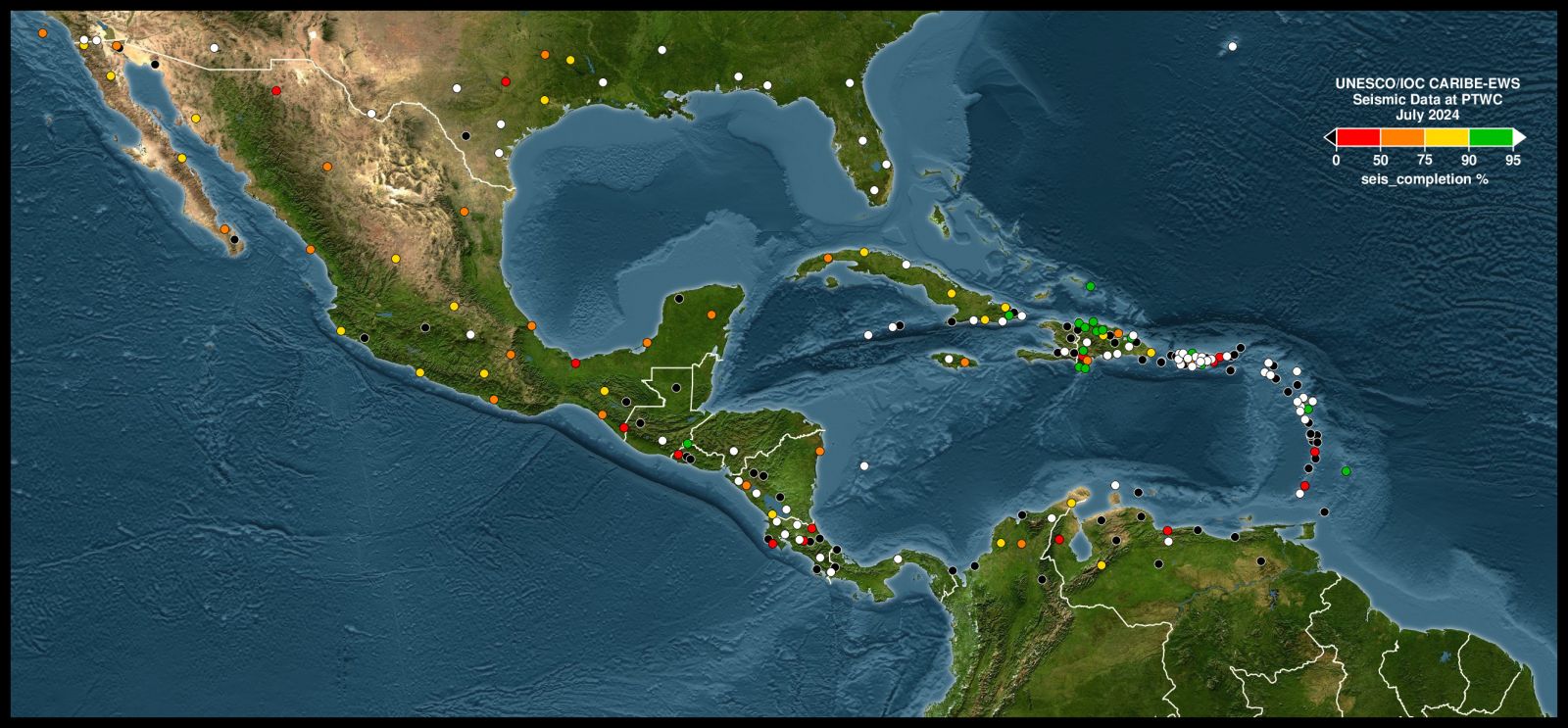
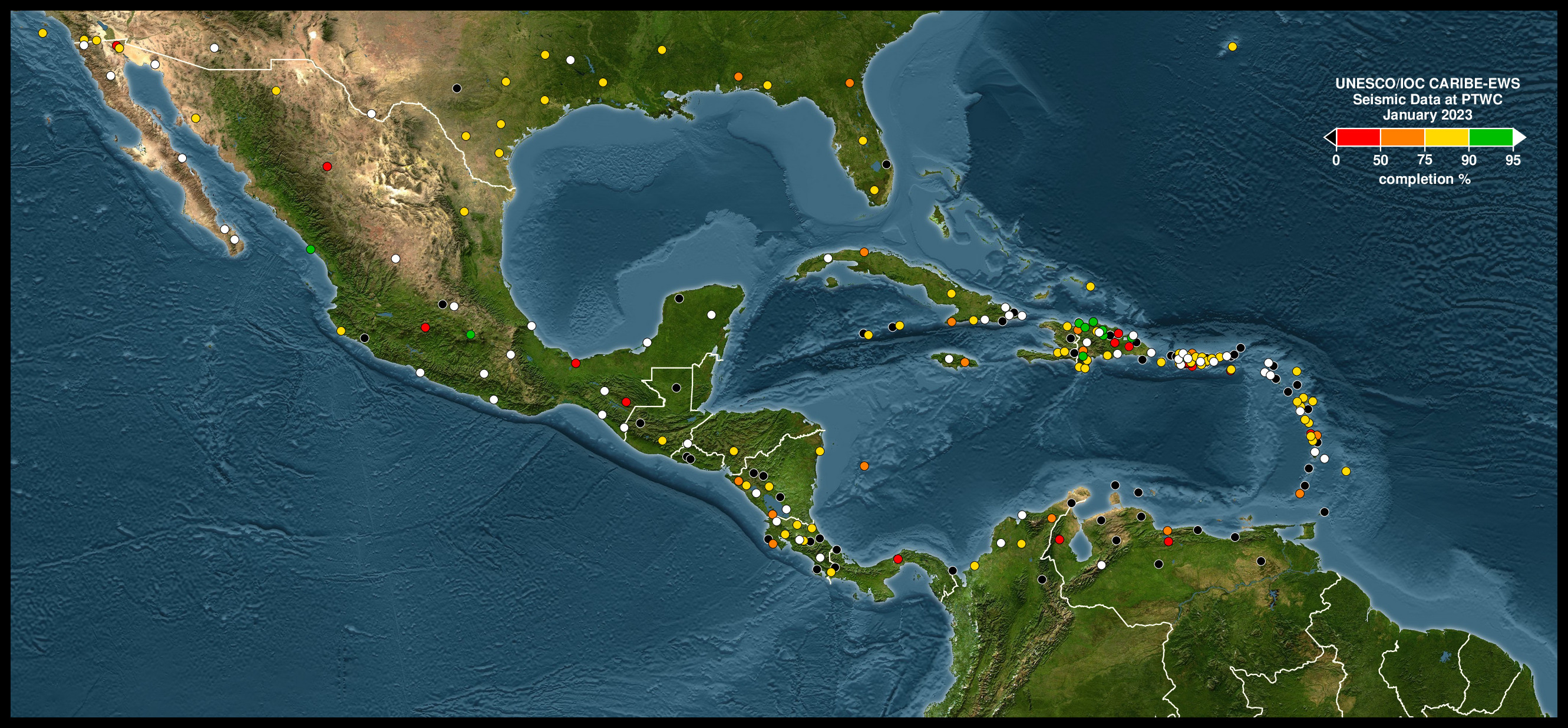
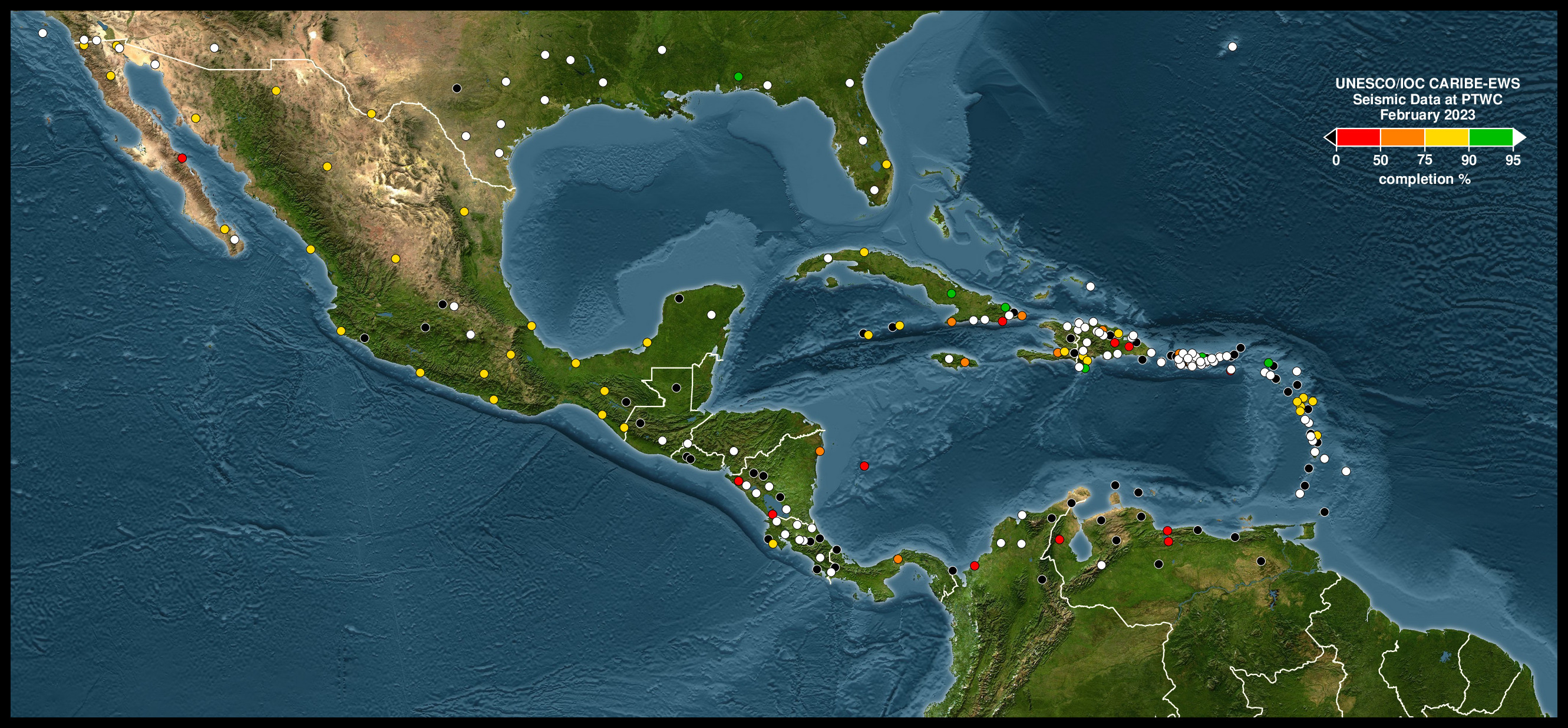
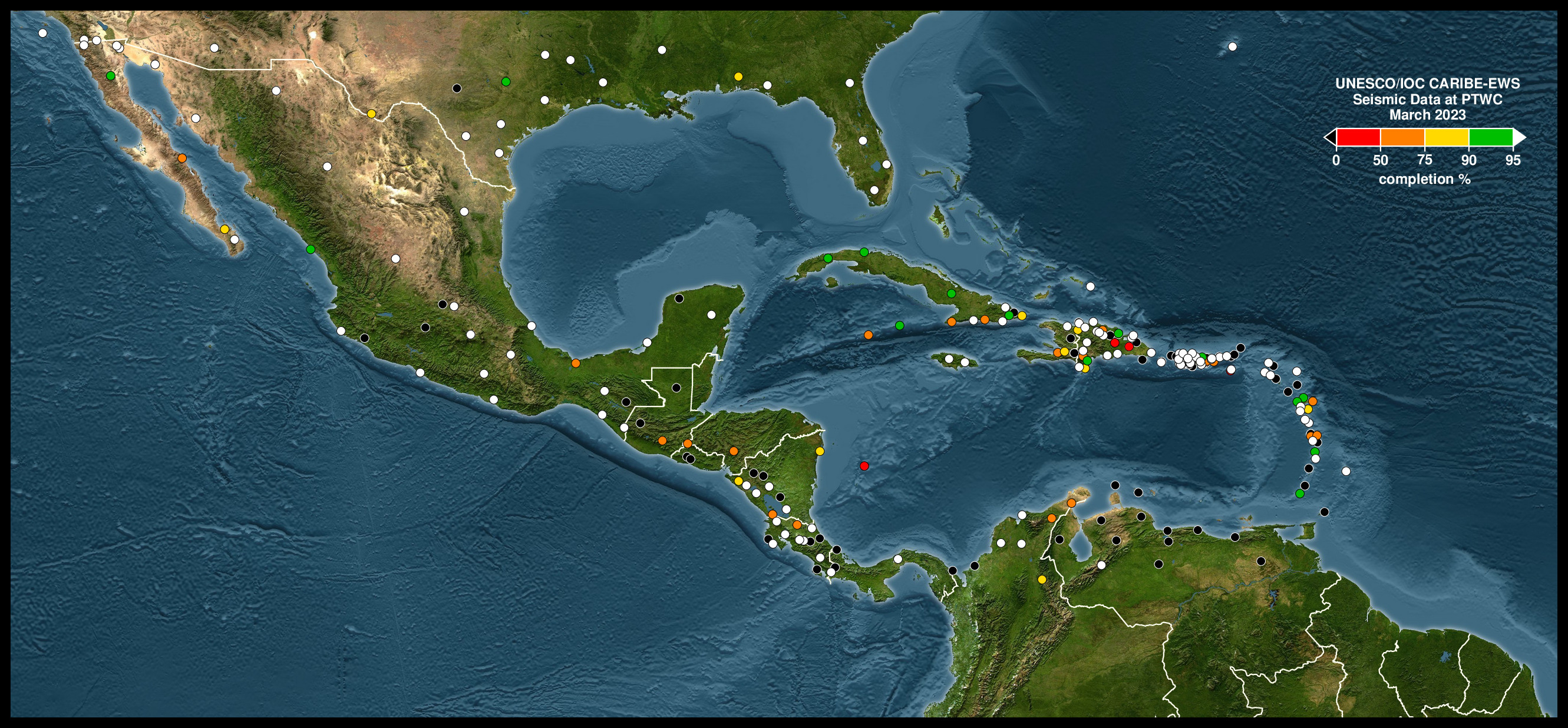
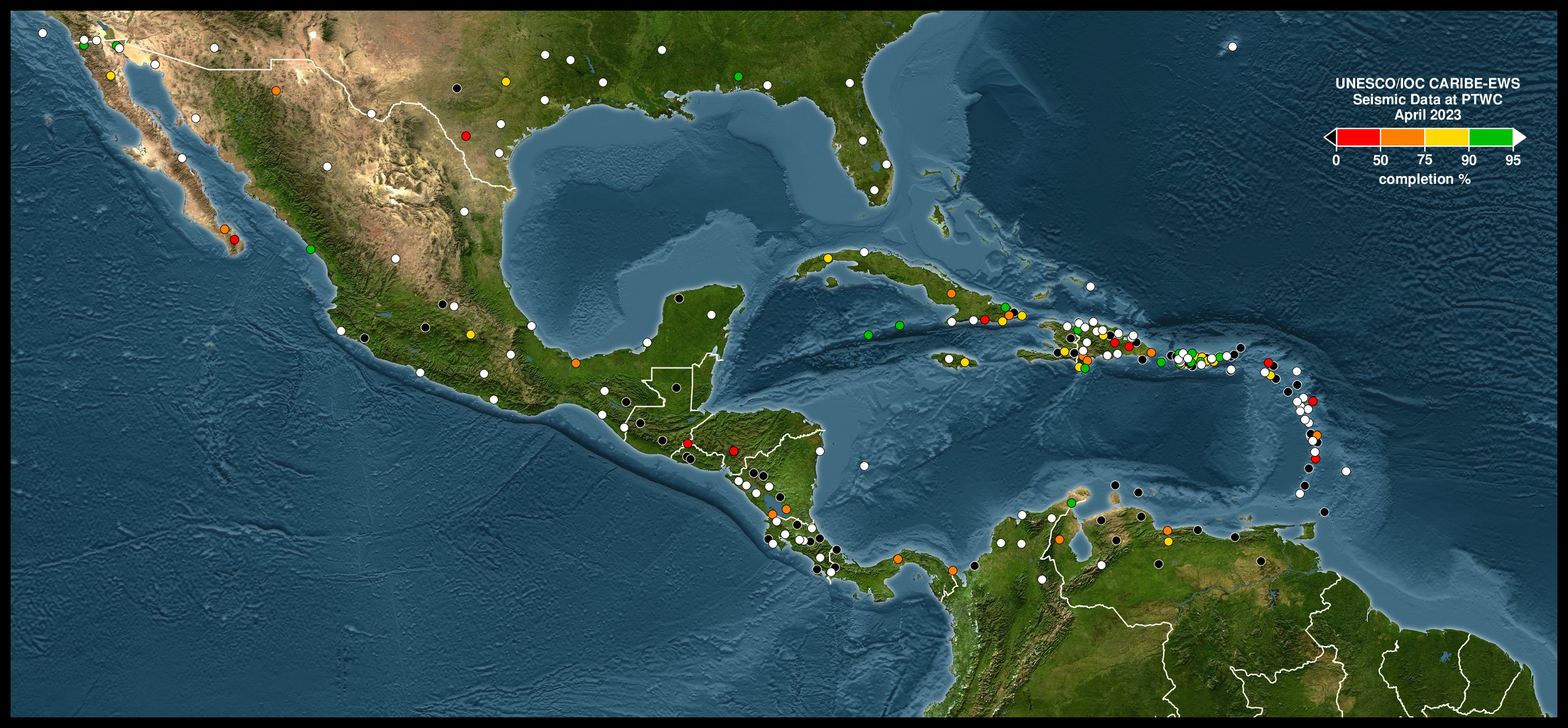
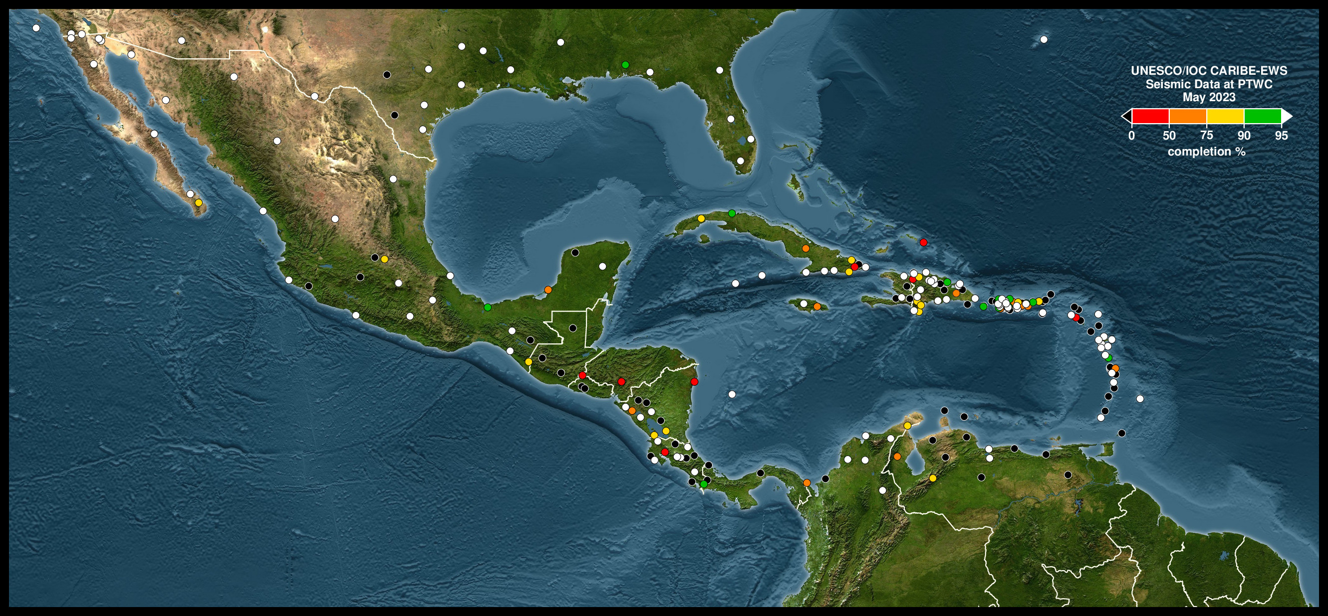
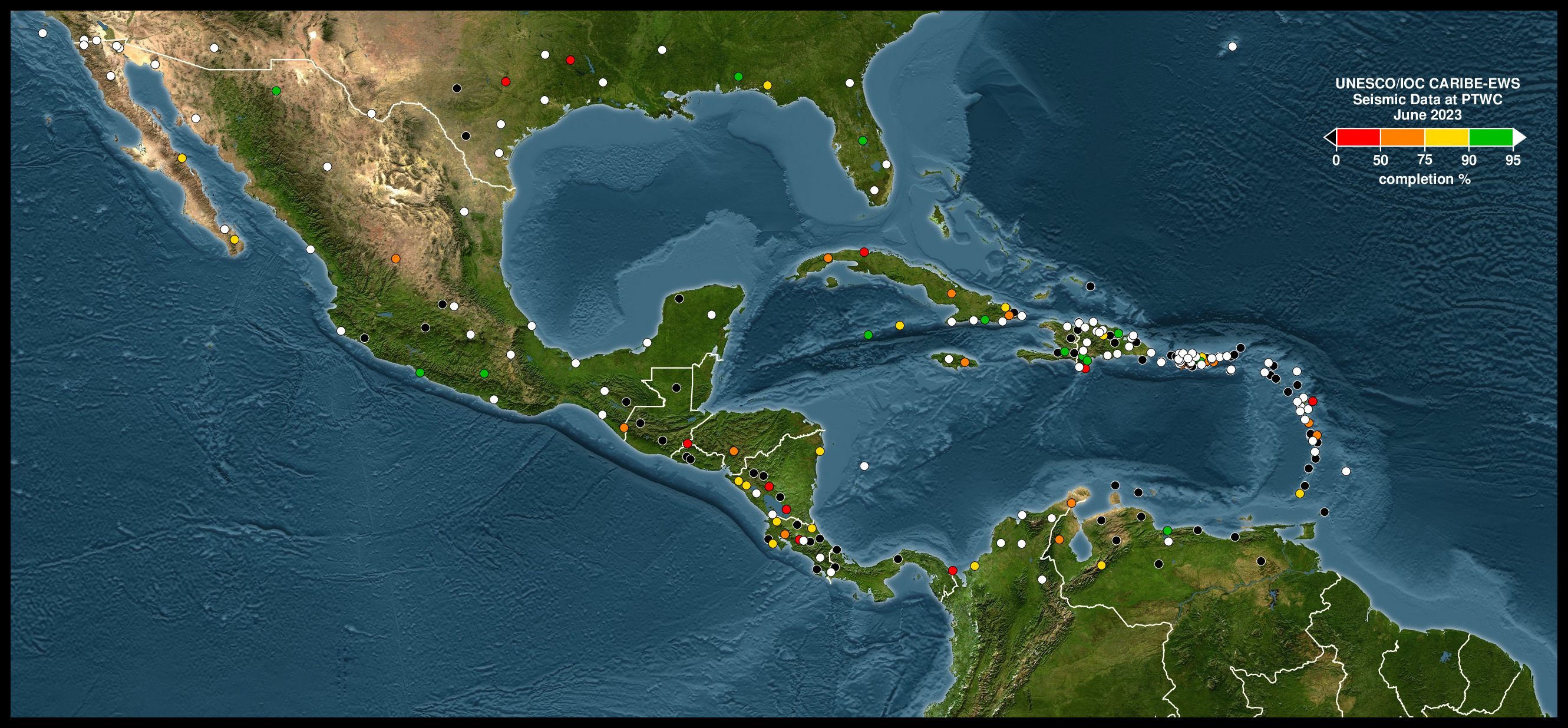
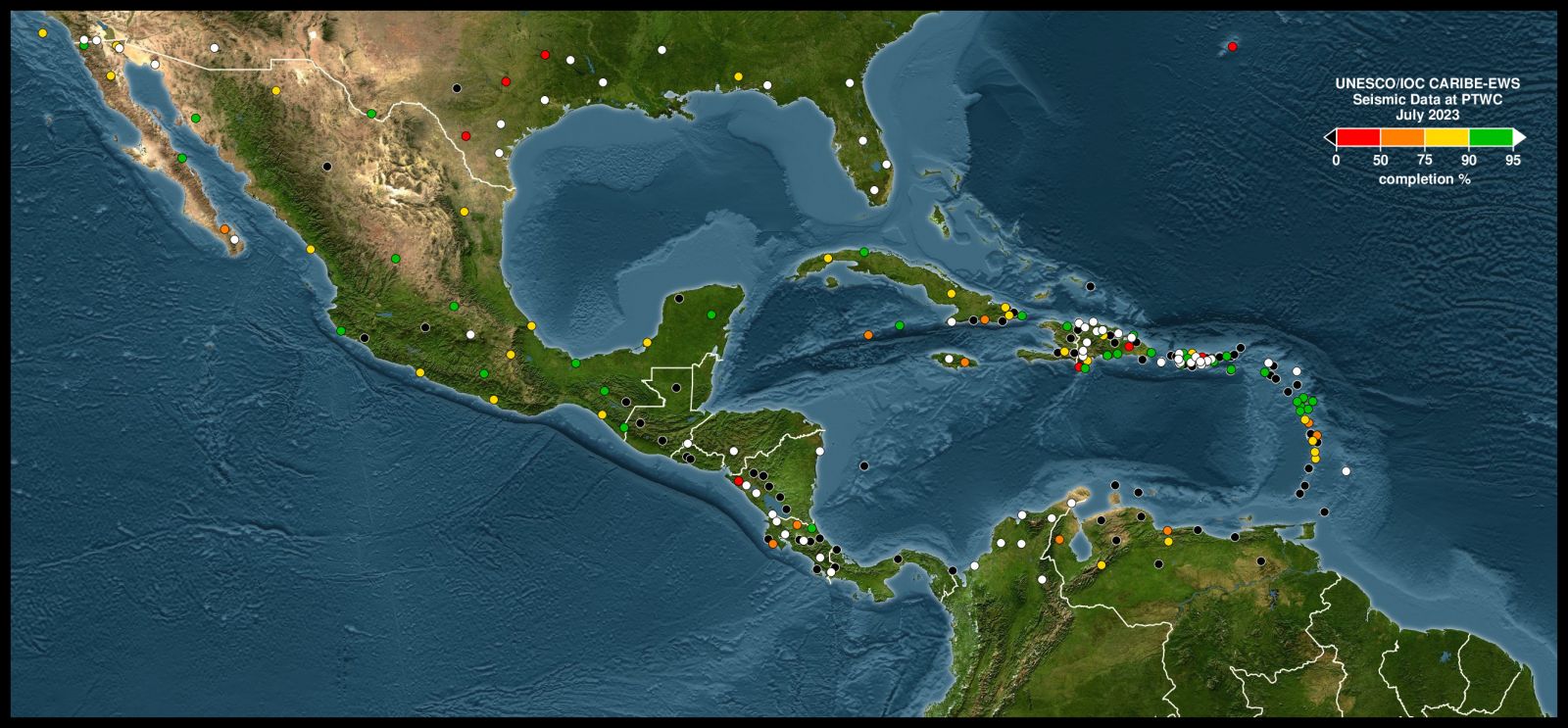
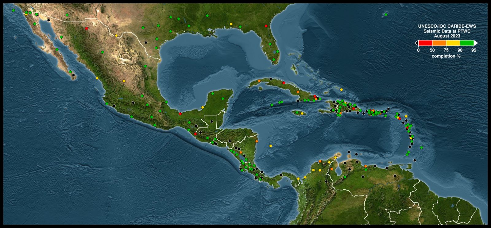
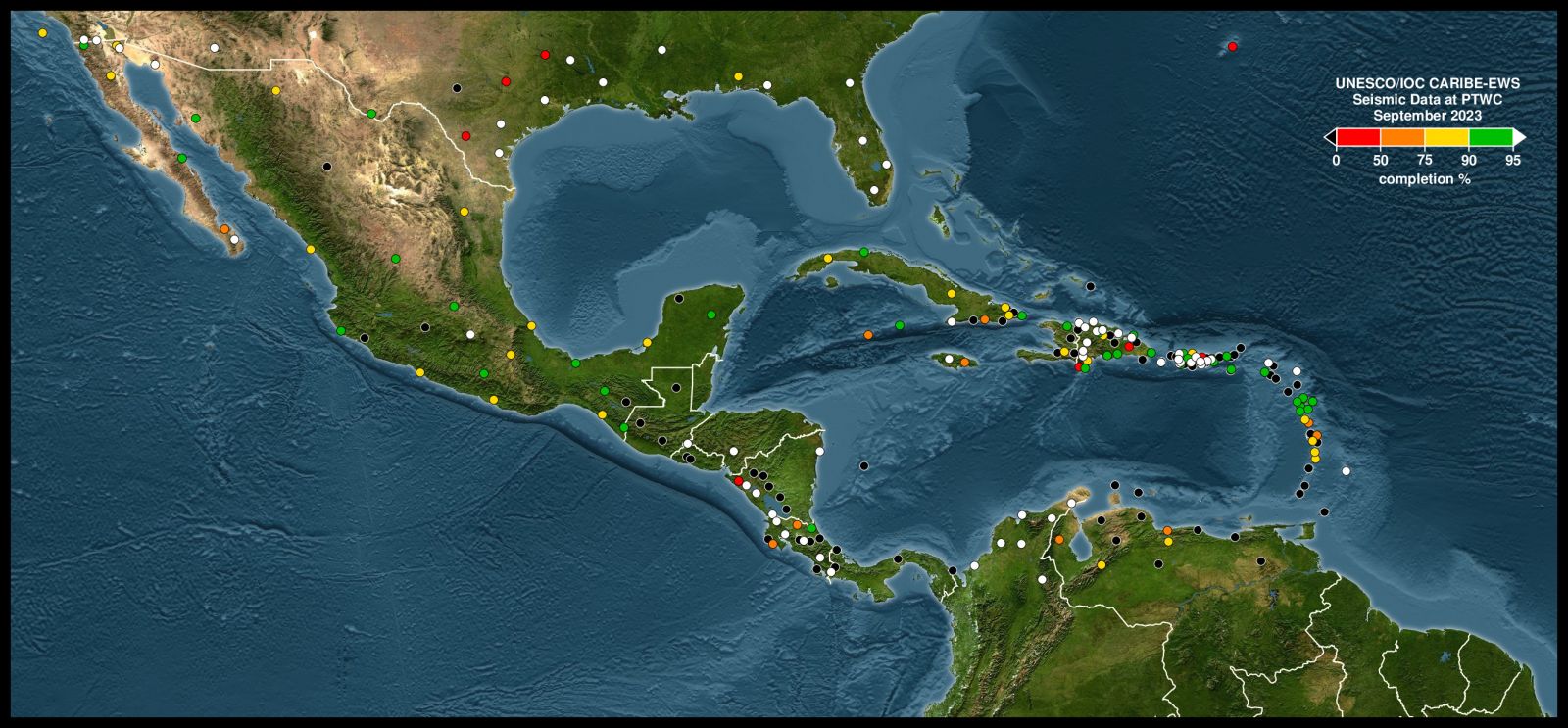
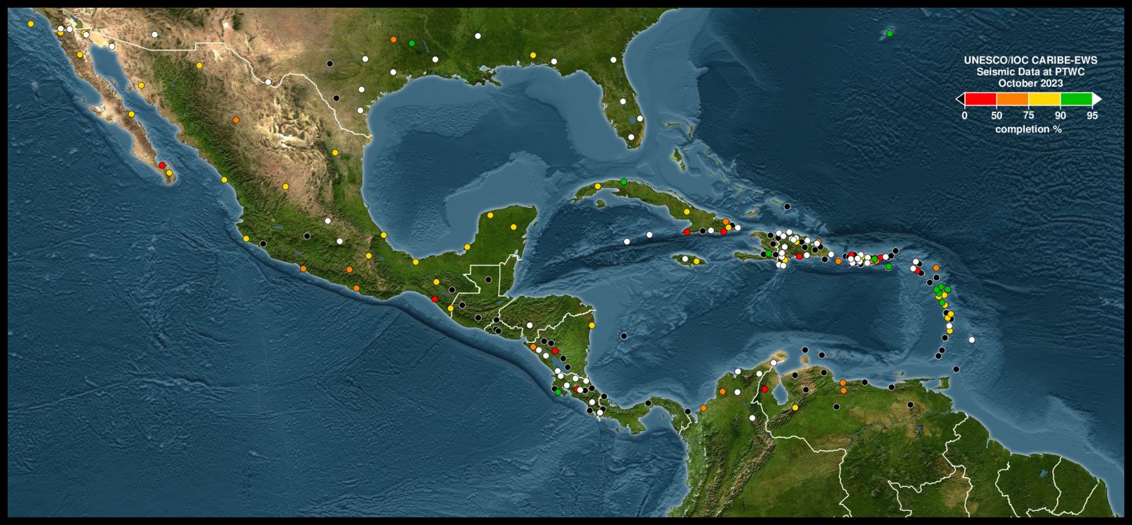
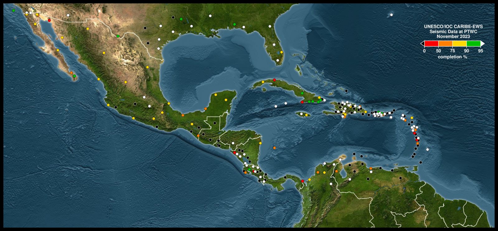
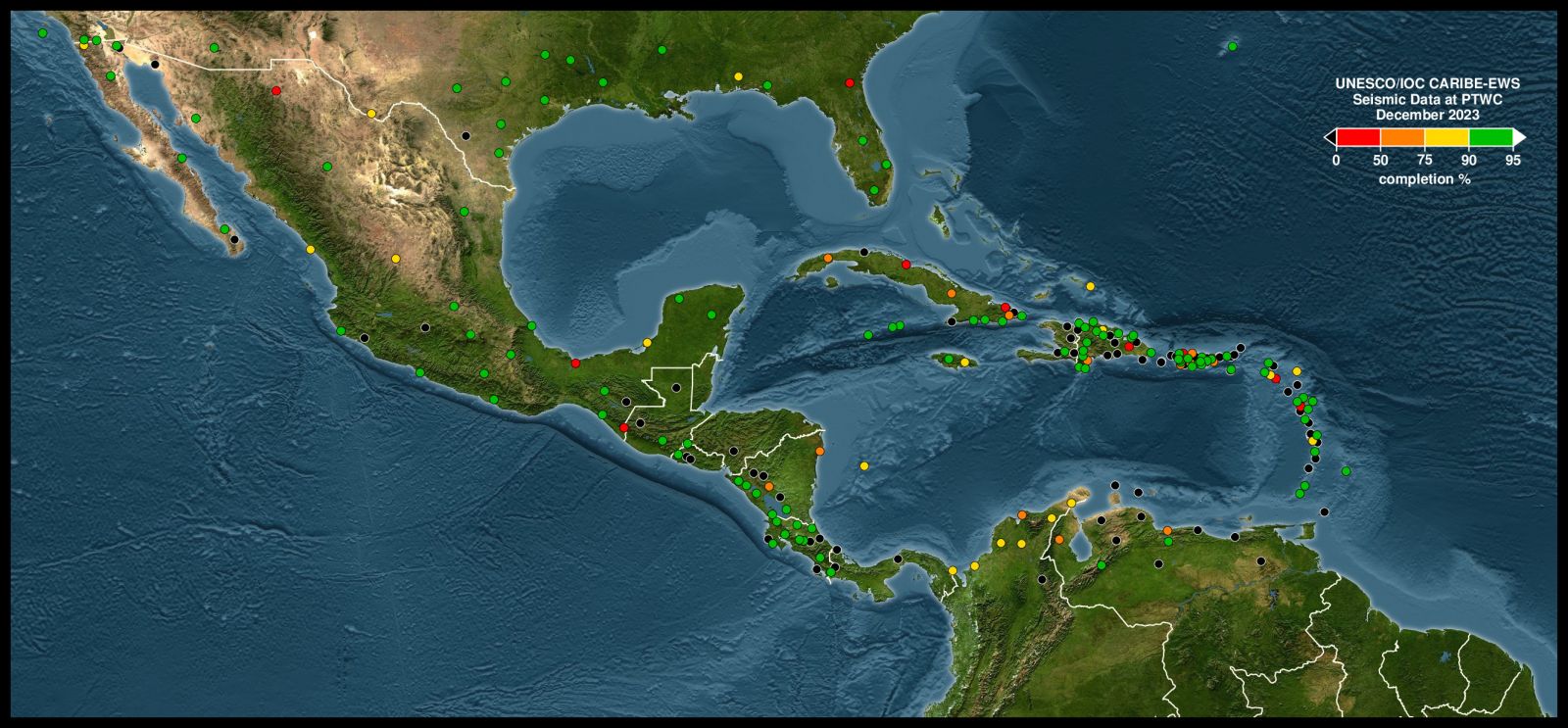
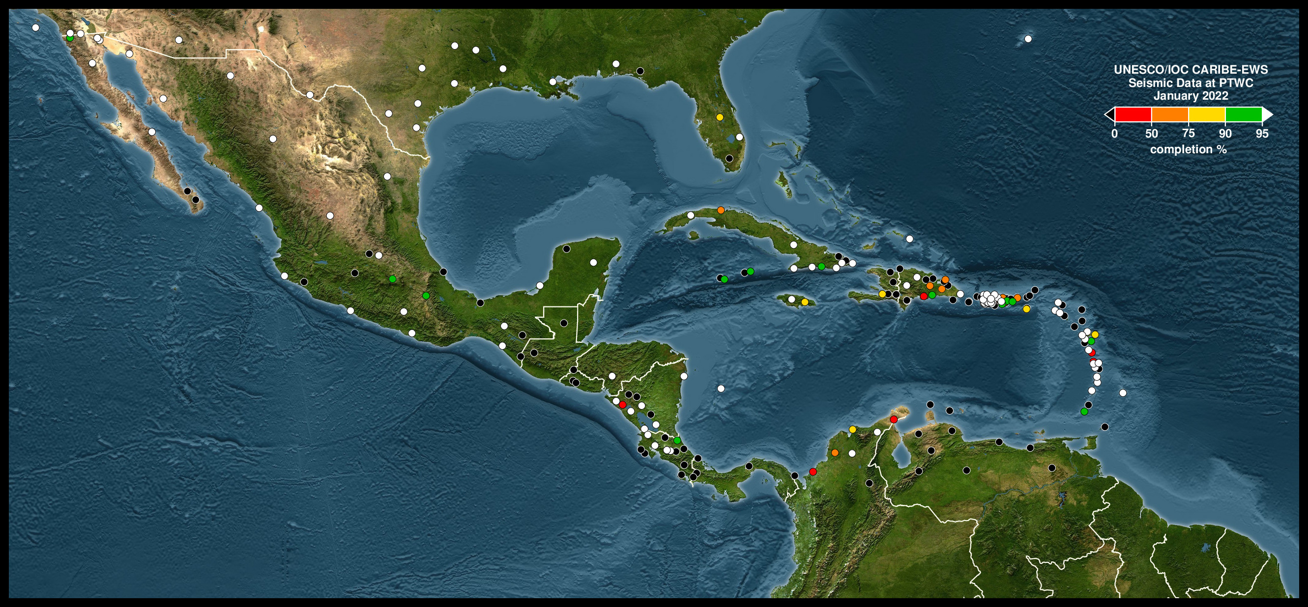
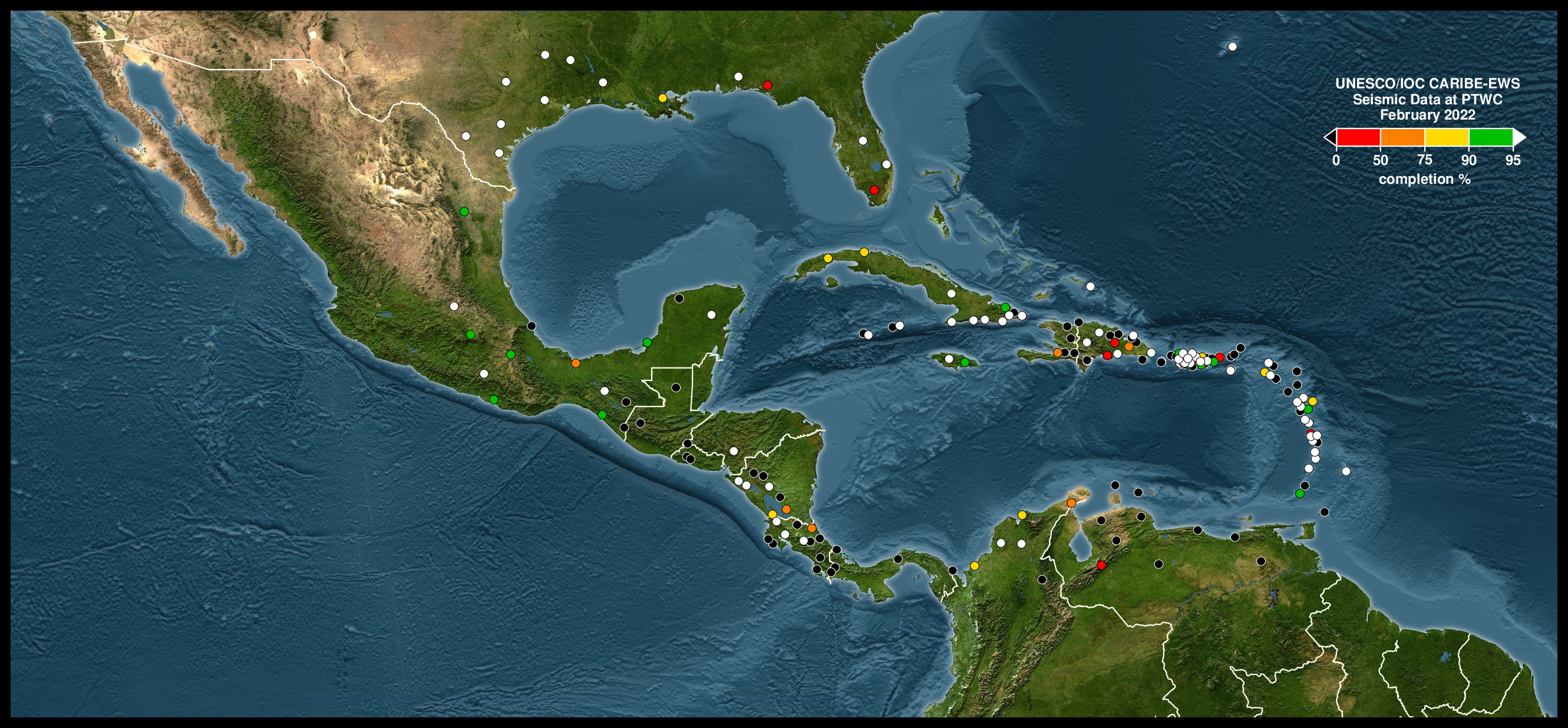
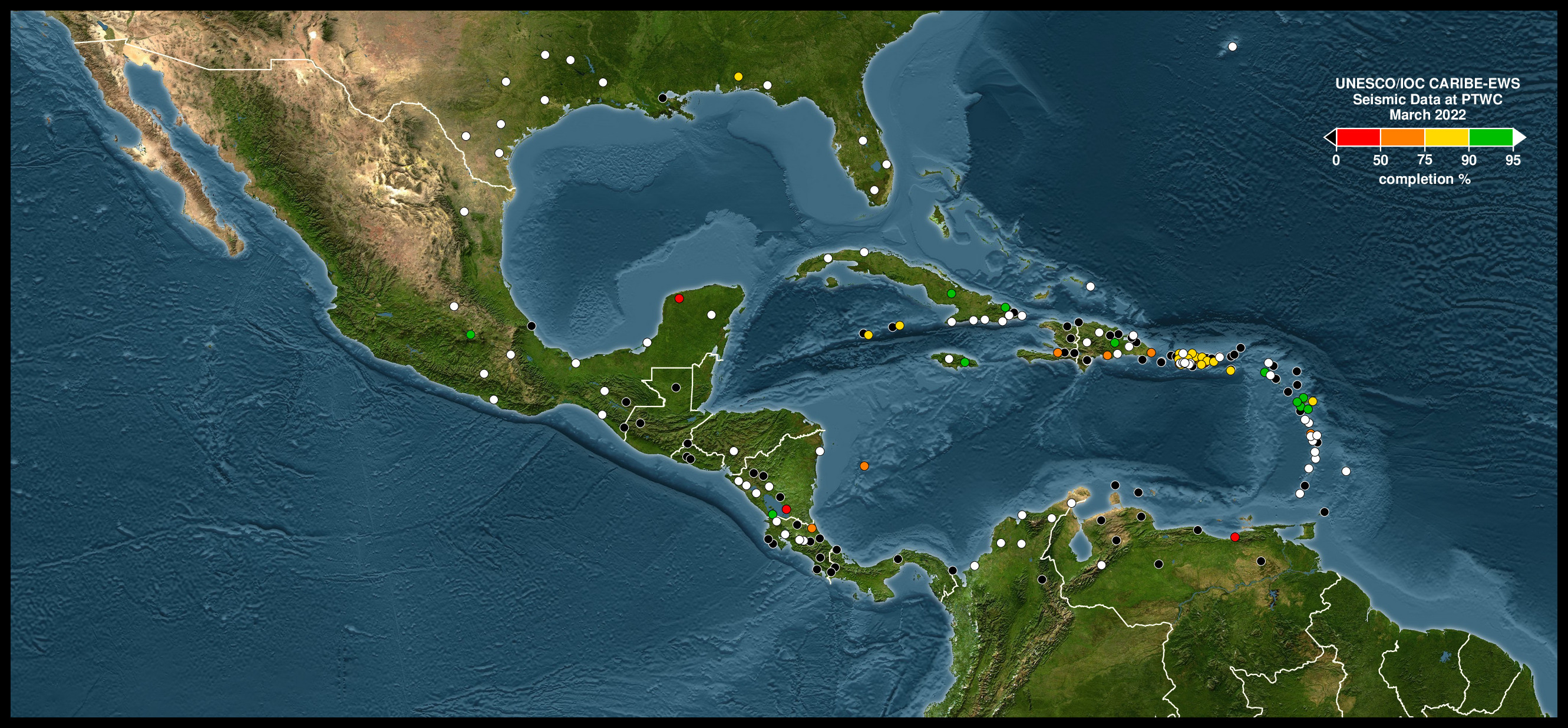
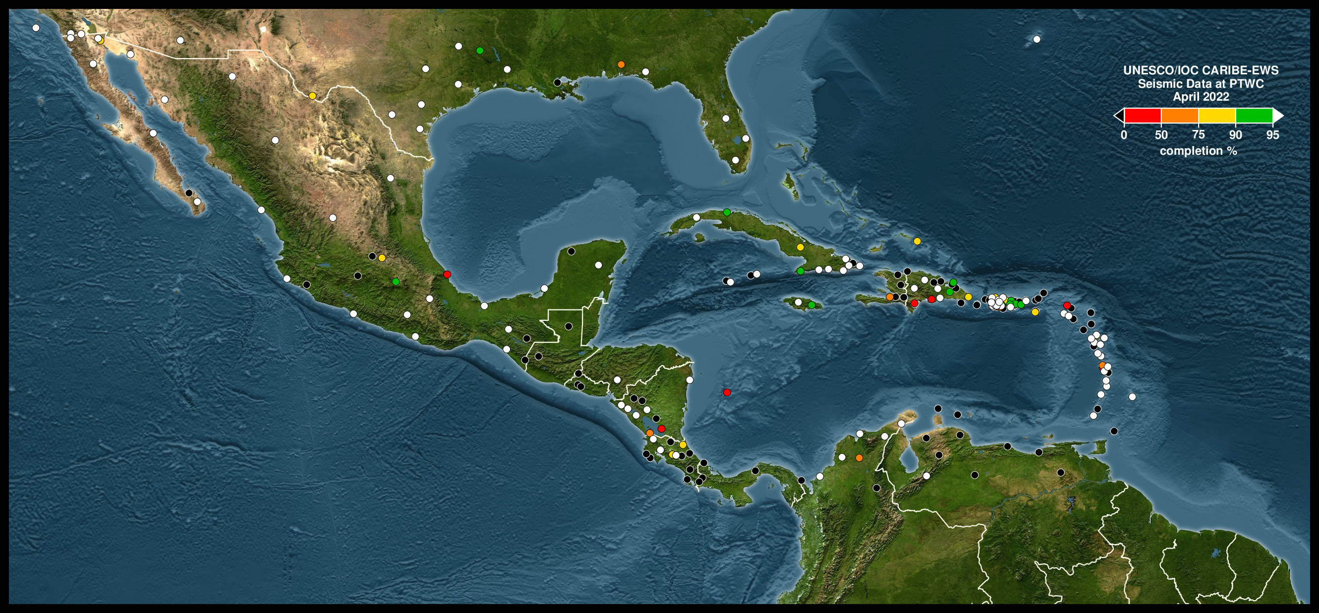
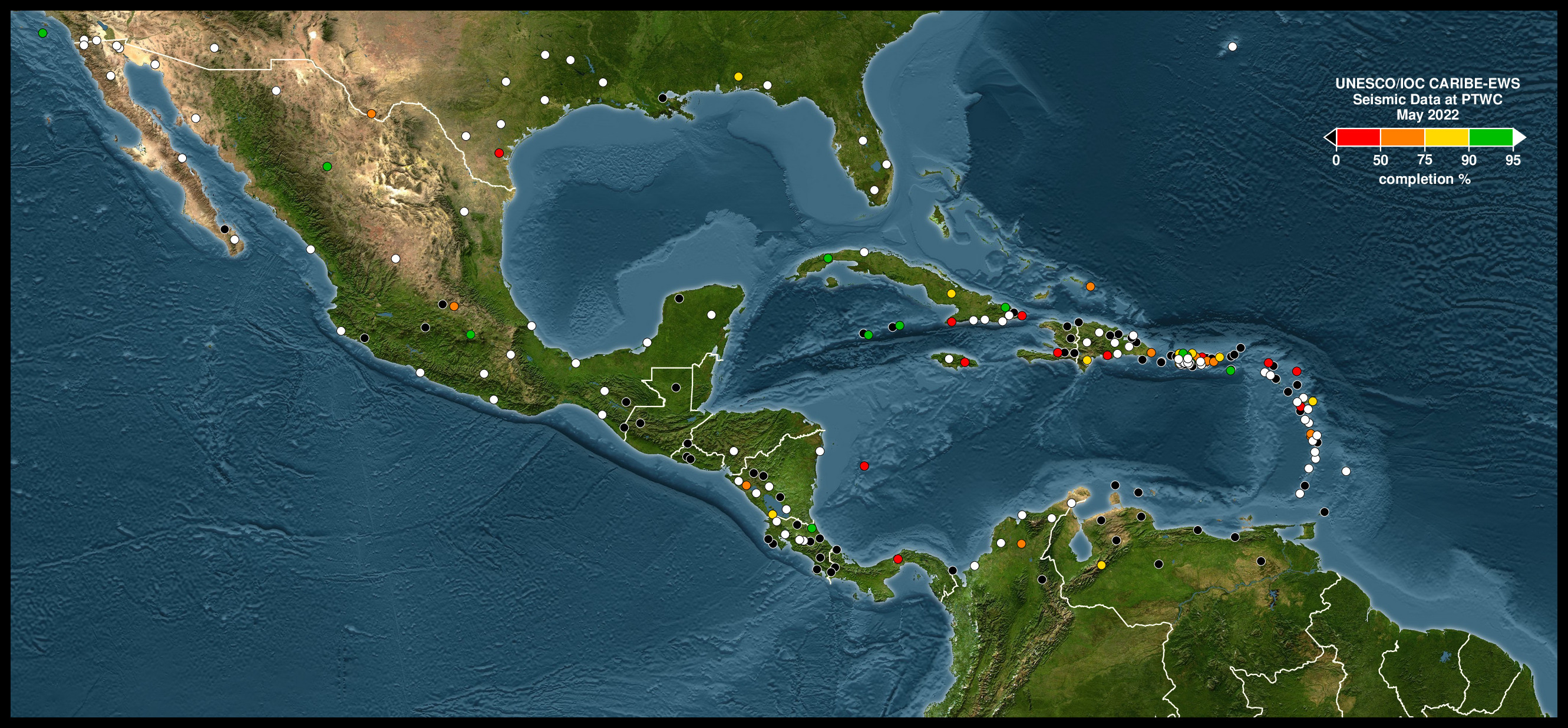
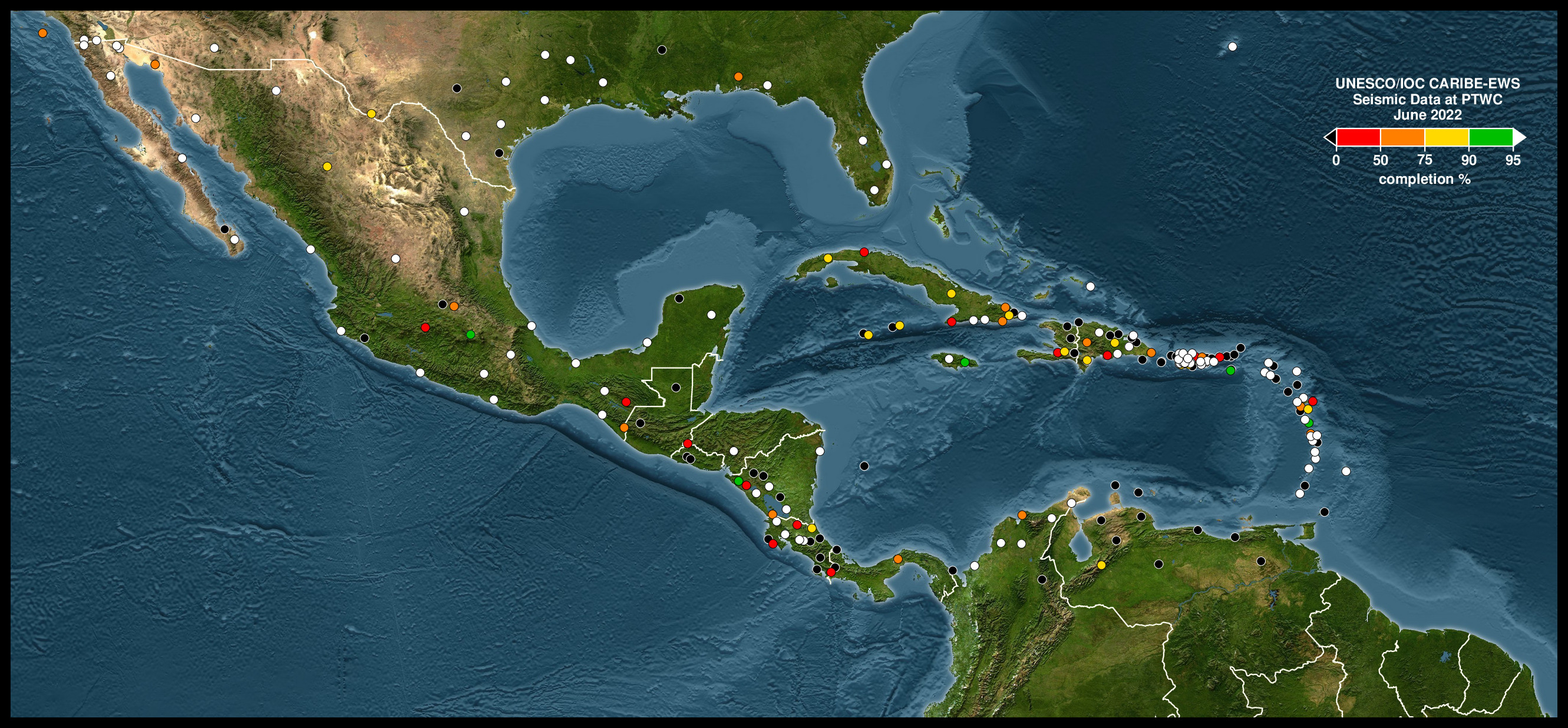
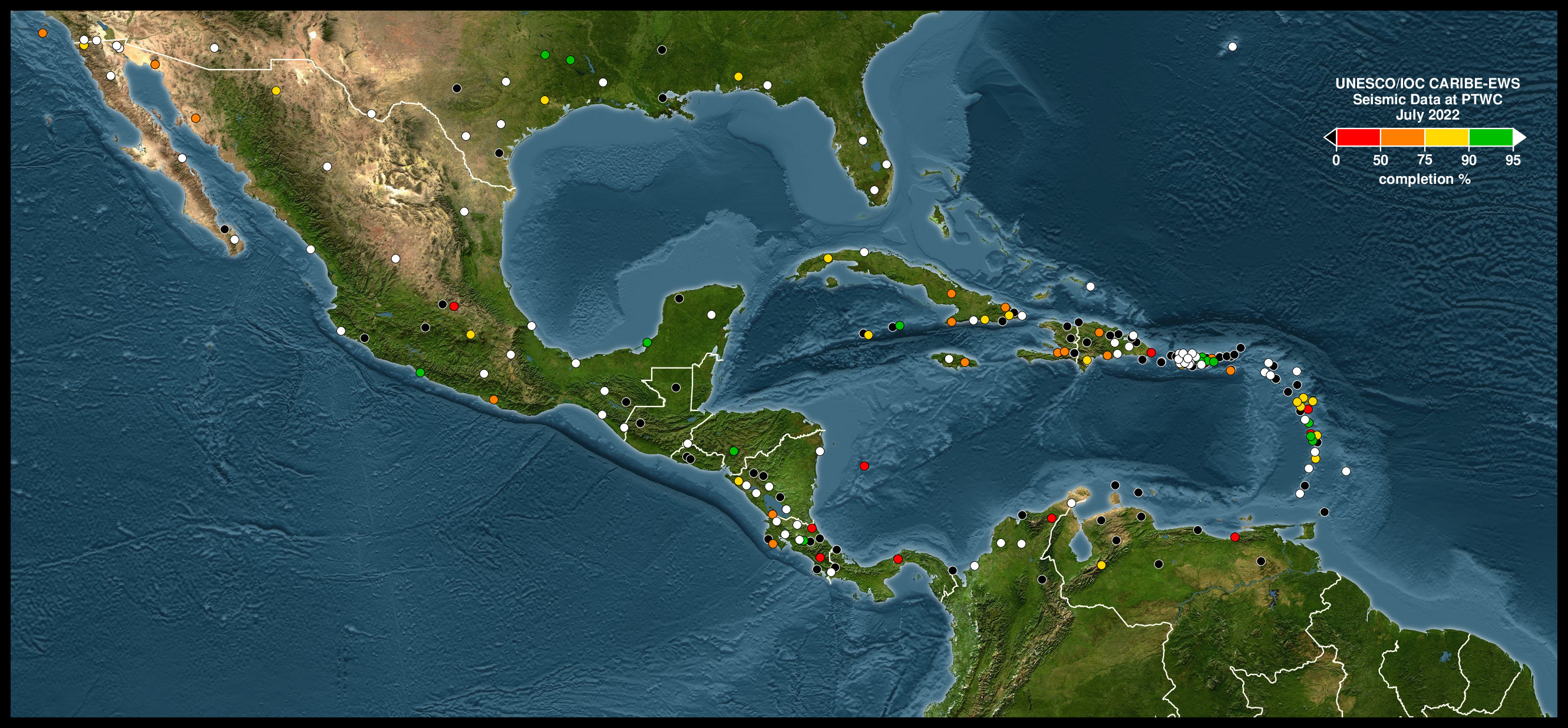
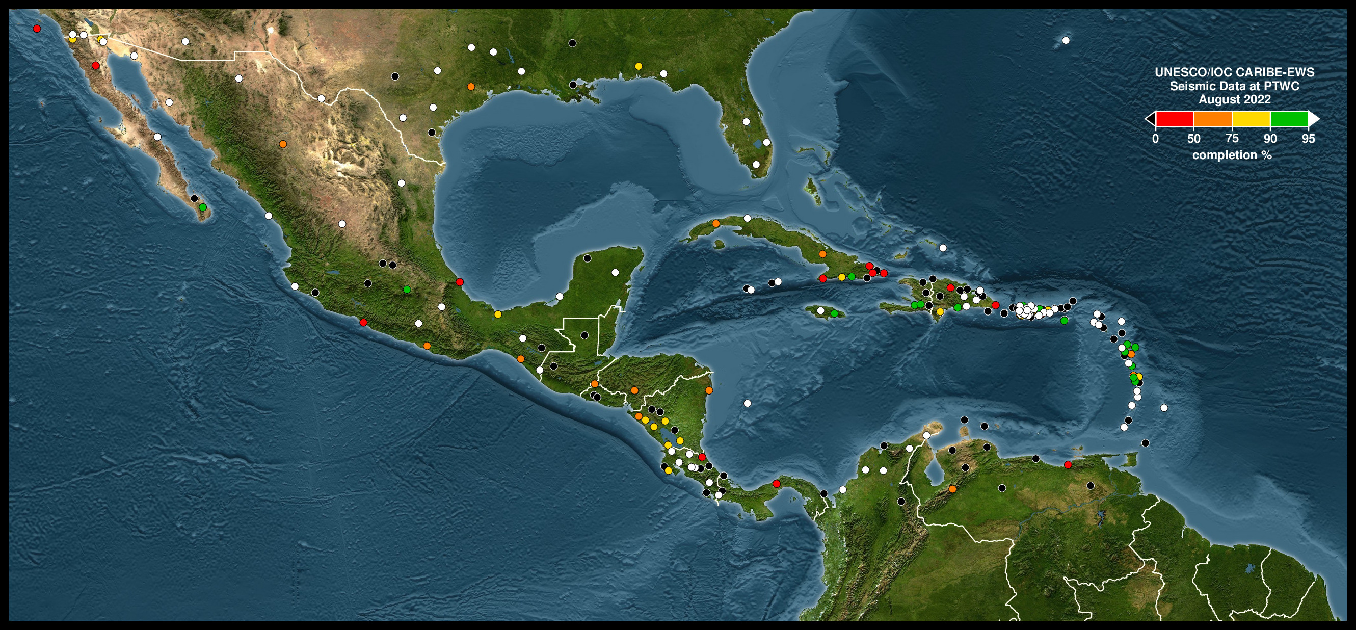
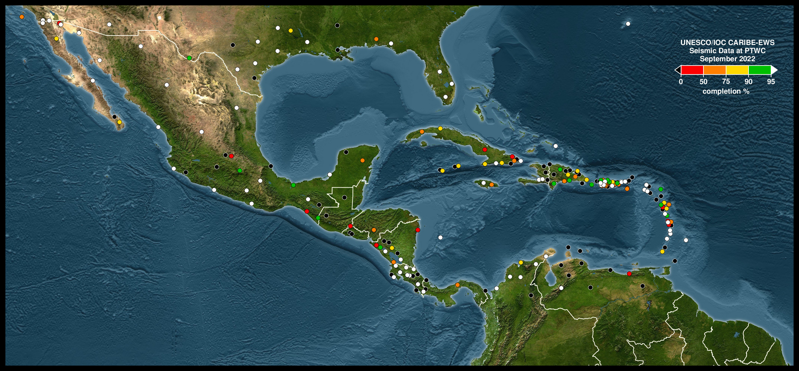
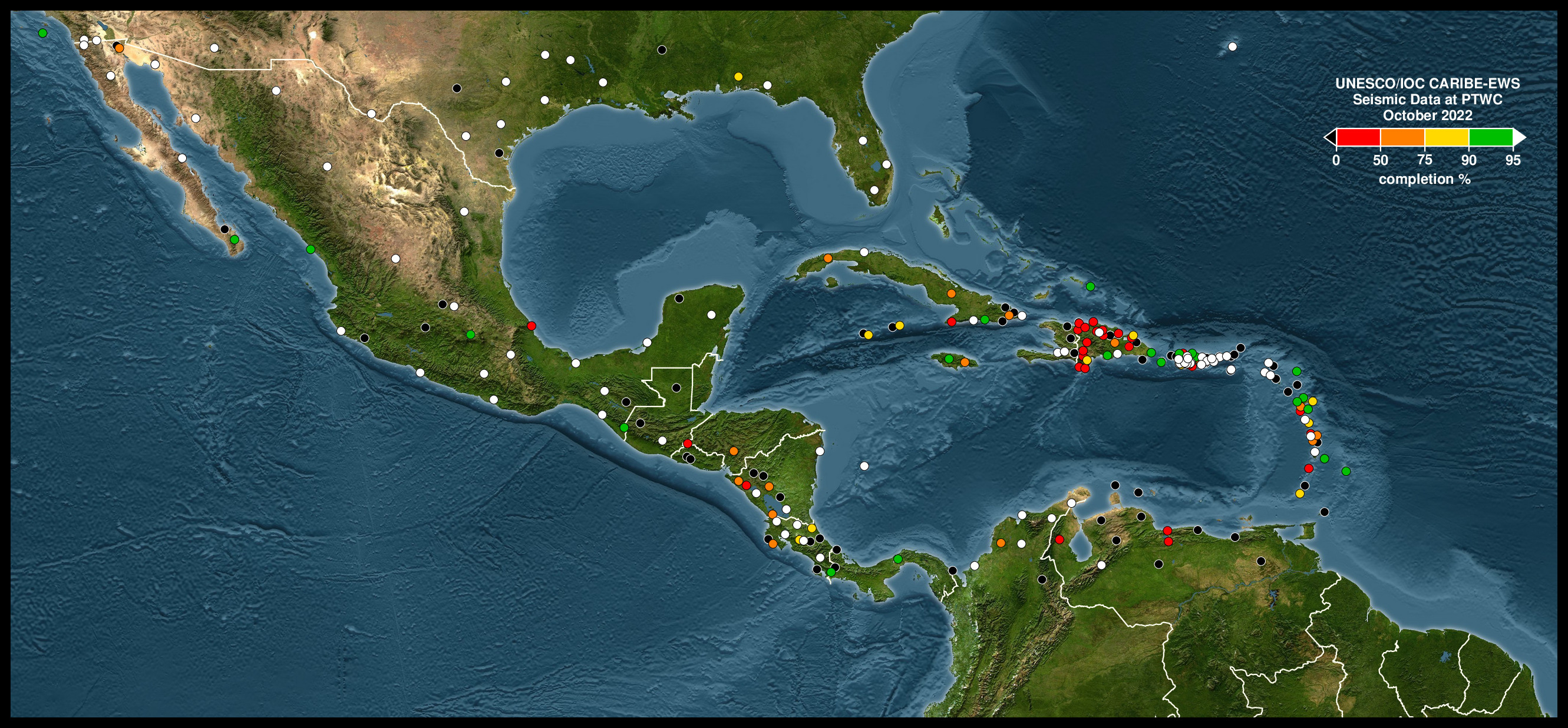
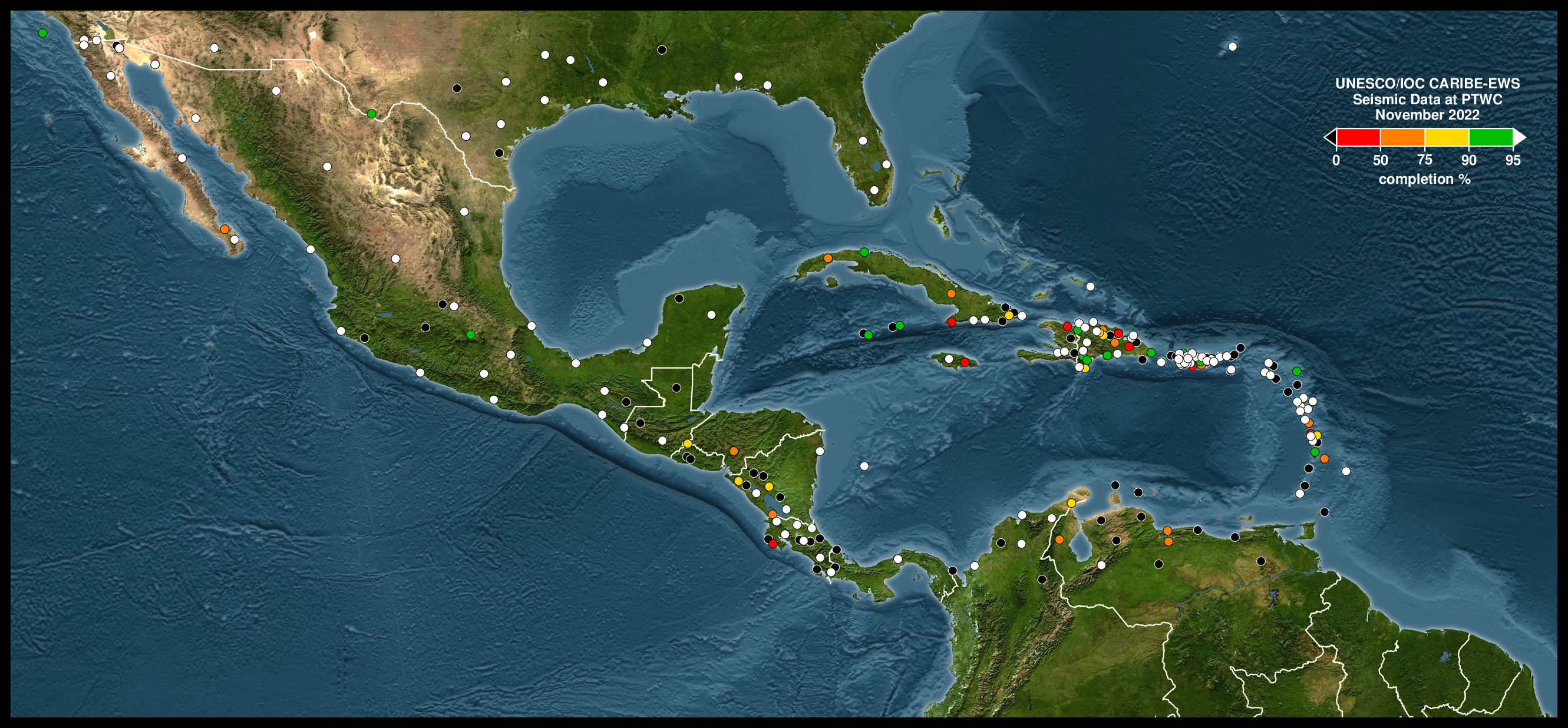
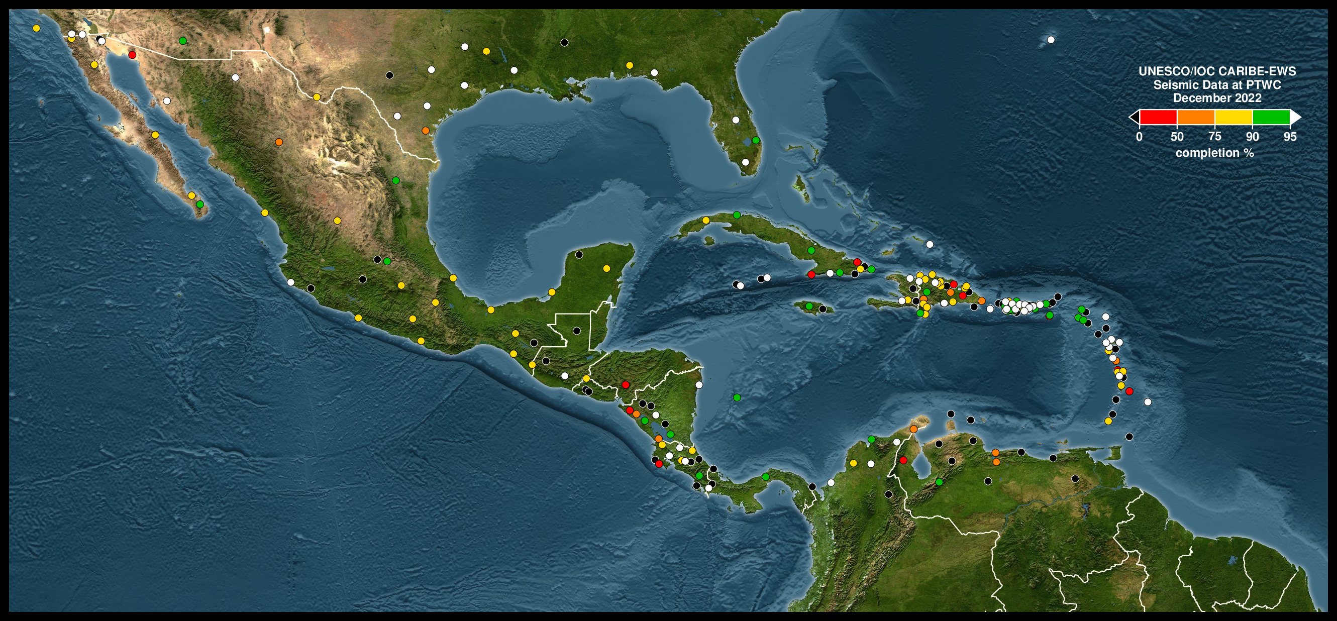
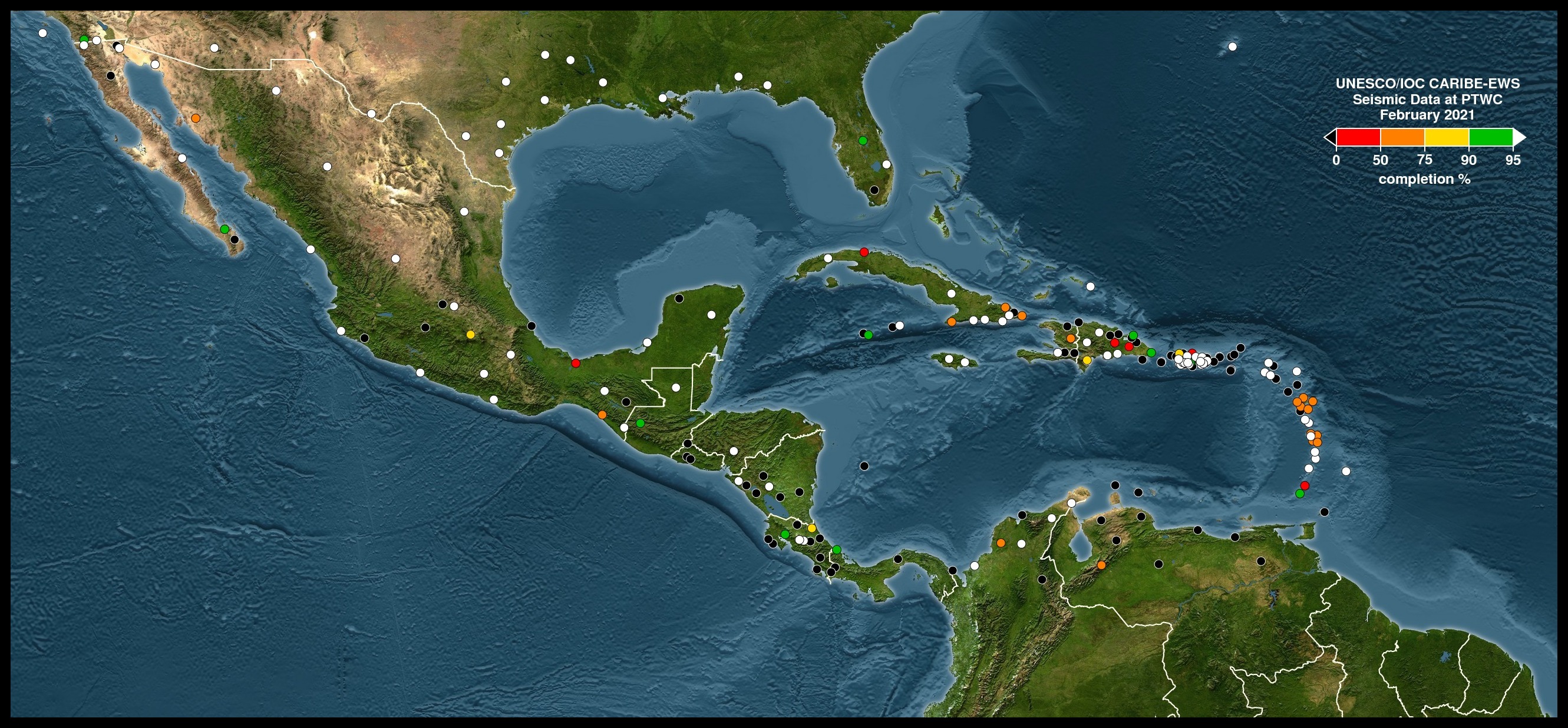
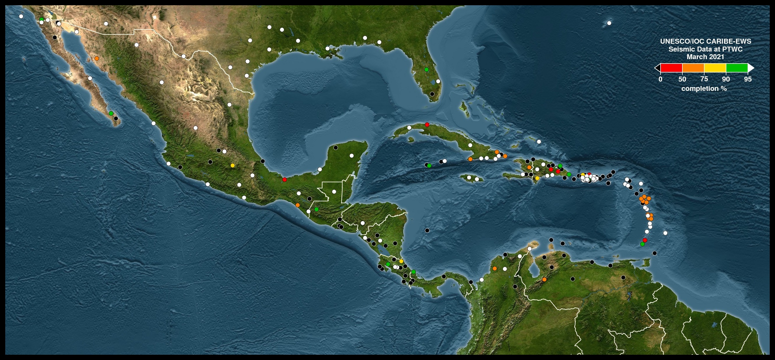
The International Tsunami Information Center Caribbean Office provides the biannual Status of Seismic Data Availability for the Intergovernmental Coordination Group for the Tsunami and Other Coastal Hazards Warning System for the Caribbean Sea and Adjacent Regions (read only Excel files - pdf graphs - jpg maps). Please report any issues or comments to the these reports to Christa.vonH@noaa.gov.




 ITIC-CAR RSS Feed





.jpg)