
Low pressure strengthening along the eastern seaboard will develop strong and gusty northwesterly winds on Sunday afternoon that will push a very dry and cold arctic airmass into our region through Tuesday. This will result in critical Fire Weather conditions and may lead extreme fire behavior and rapid spread of any existing or newly ignited wildfires. Don't be the Spark! Read More >
|
Marine Page for Southeast Georgia and Northeast Florida |
![]() |
![]() |
![]() |
![]() |
![]() |
![]() |
| To view marine data, click the link below to view a map of stations: | ||
|
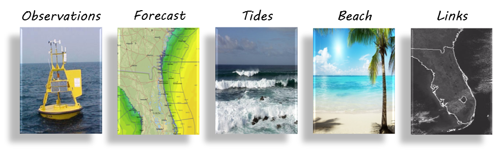
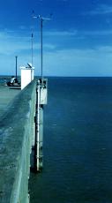
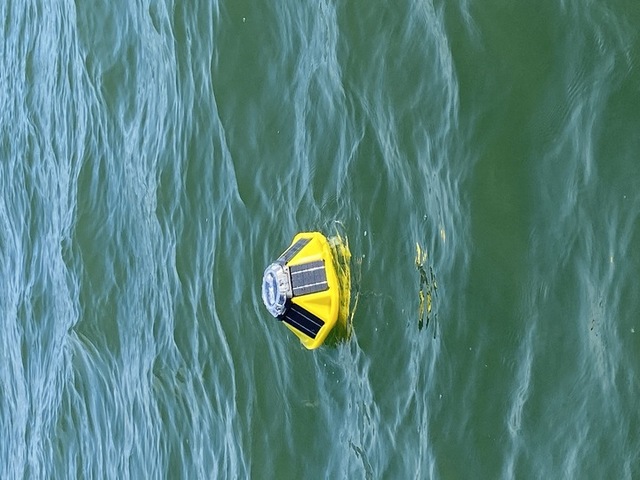
Image and Data provided by NOAA National Data Buoy Center |
||