Jackson, KY
Weather Forecast Office
Overview
|
Numerous strong to severe thunderstorms caused wind damage, flash flooding, and dropped large hail across south central through eastern Kentucky during the afternoon and evening hours of Saturday, May 27, 2017. Several occurrences of quarter size hail occurred, with the largest being the size of golf balls in Powell County near Stanton. The worst flooding occurred in Pulaski County, where several feet of water flowed over a road near Shopville for a short period of time. Additionally, lightning struck a tree near Clay City, causing a tree to fall on a home. |
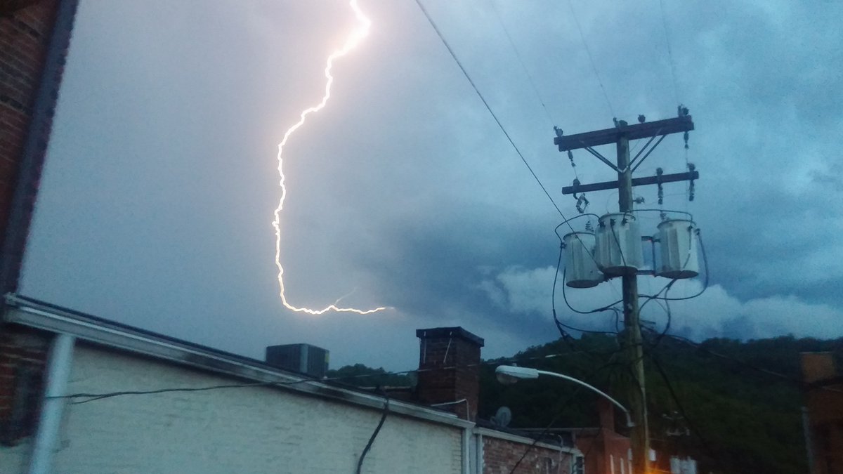 Lightning in Harlan. Courtesy Phillip. |
Photos
 |
 |
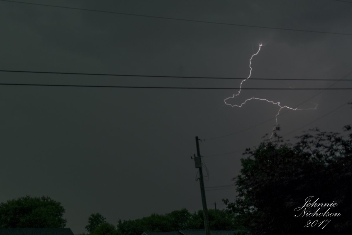 |
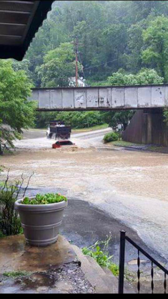
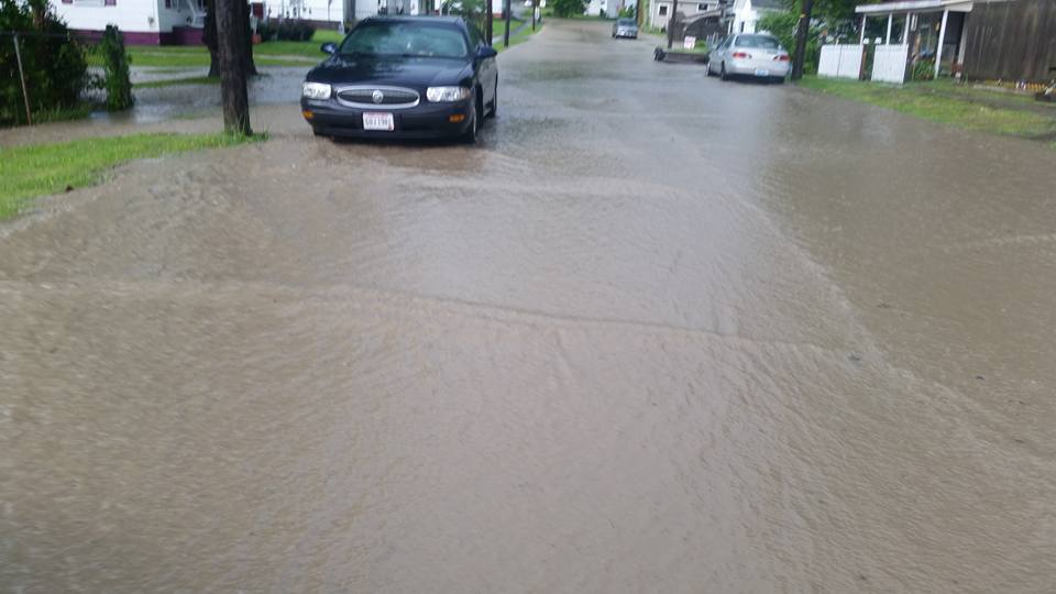
| Flooding in Elkhorn City. Courtesy James Ramey. | Flood waters covering a residential street in Irvine. Courtesy Renee Moland. | Lightning near London. Courtesy Johnnie Nicholson. |
 |
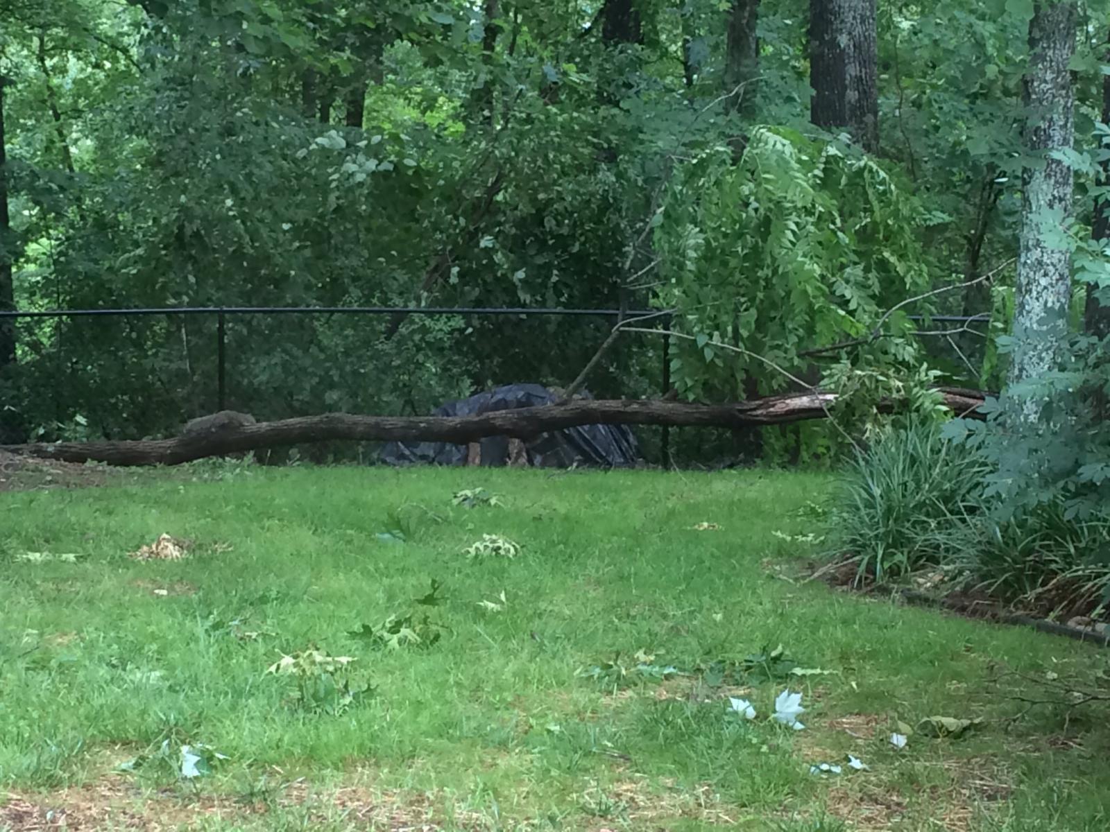 |
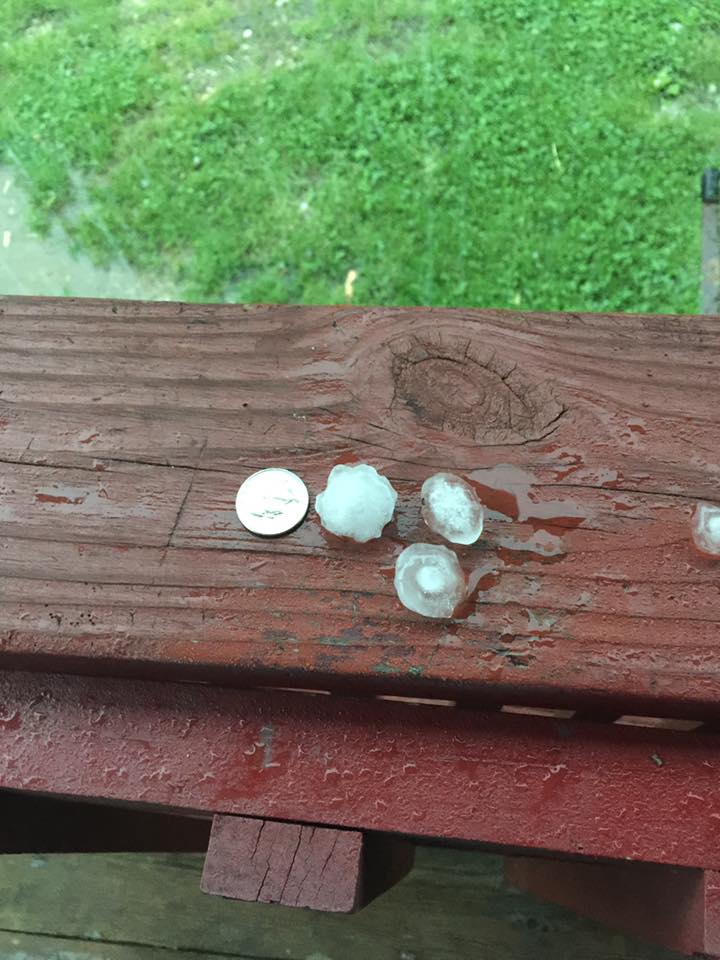
| Quarter size hail near Quicksand in Breathitt County. Courtesy Lois Gross. | Tree damage in Somerset. Courtesy Carol Helm. |
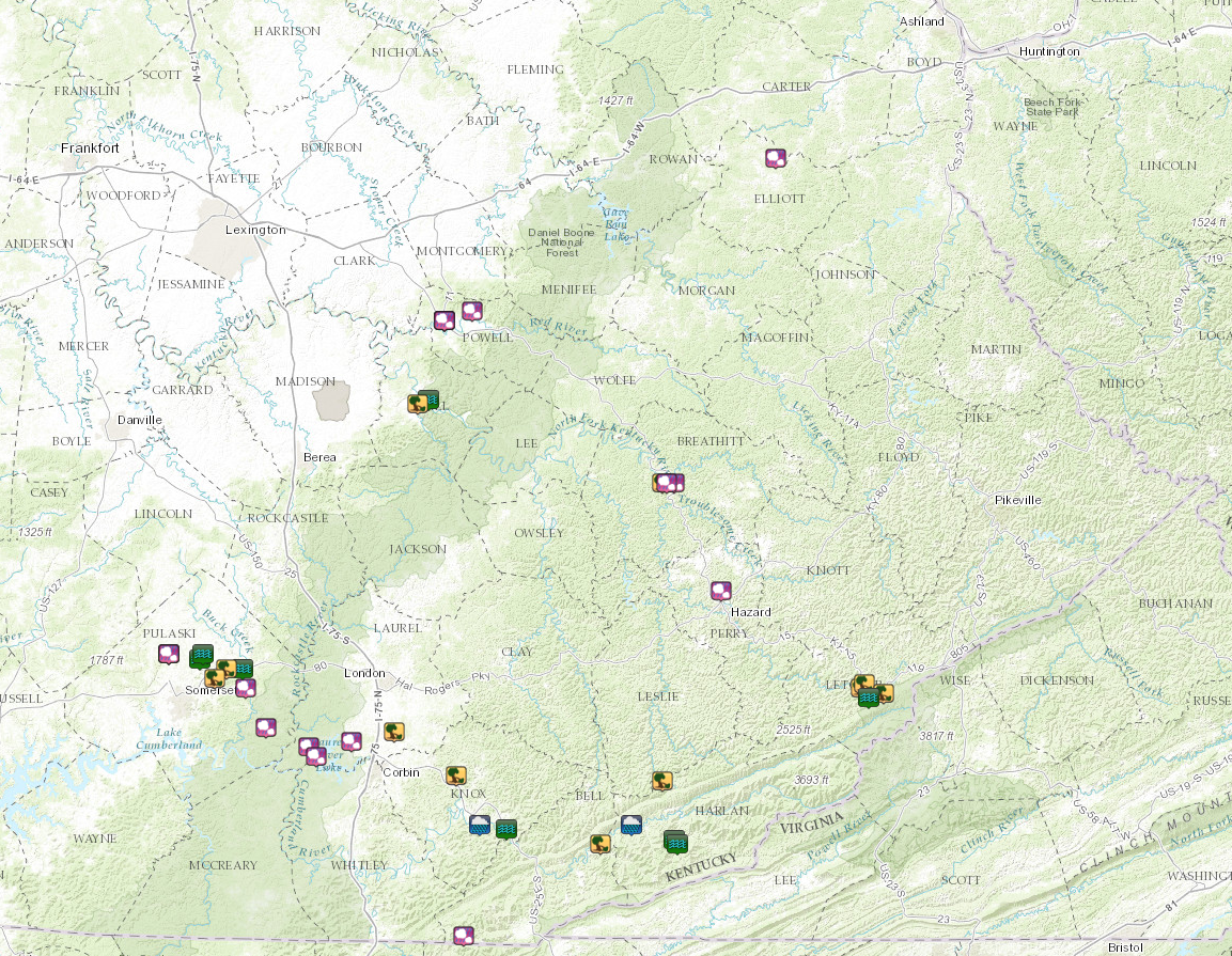
Radar
 |
| Radar imagery from the afternoon through evening hours on May 27, 2017. |
 |
Media use of NWS Web News Stories is encouraged! Please acknowledge the NWS as the source of any news information accessed from this site. |
|
Warnings/Hazards
Decision Support - Outlooks
Current Weather Hazards
Hazards Criteria
Weather Story Graphic
Recent Storm Reports
Submit a Report
Forecasts
Decision Support - Forecast
Aviation Forecasts
Fire Weather Forecasts
Hourly Weather Forecast
Activity Planner
River Forecasts
Forecast Discussion
Current Conditions
Regional Radar
Decision Support - Current
Rivers and Lakes
Hourly Airport Weather
Local Radar
Satellite
Kentucky Mesonet
Past Weather
Local Climate Info
Temp/Precip Summary
How Much Rain Fell?
How Much Snow Fell?
Past Weather Events
Drought Information
Local Coop Observers
US Dept of Commerce
National Oceanic and Atmospheric Administration
National Weather Service
Jackson, KY
1329 Airport Road
Jackson, KY 41339
606-666-8000
Comments? Questions? Please Contact Us.