Scattered strong to severe thunderstorms may pose a risk for damaging wind gusts over the Carolinas, southeast Virginia, and the Tennessee Valley Sunday afternoon then the northern Plains from late afternoon into Sunday night. Monsoonal thunderstorms may cause locally considerable flash, urban, and small stream flooding in the Southwest U.S. the next few days. Read More >
 |
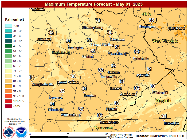
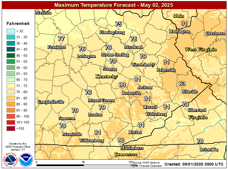
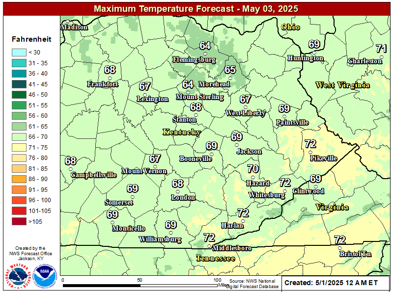
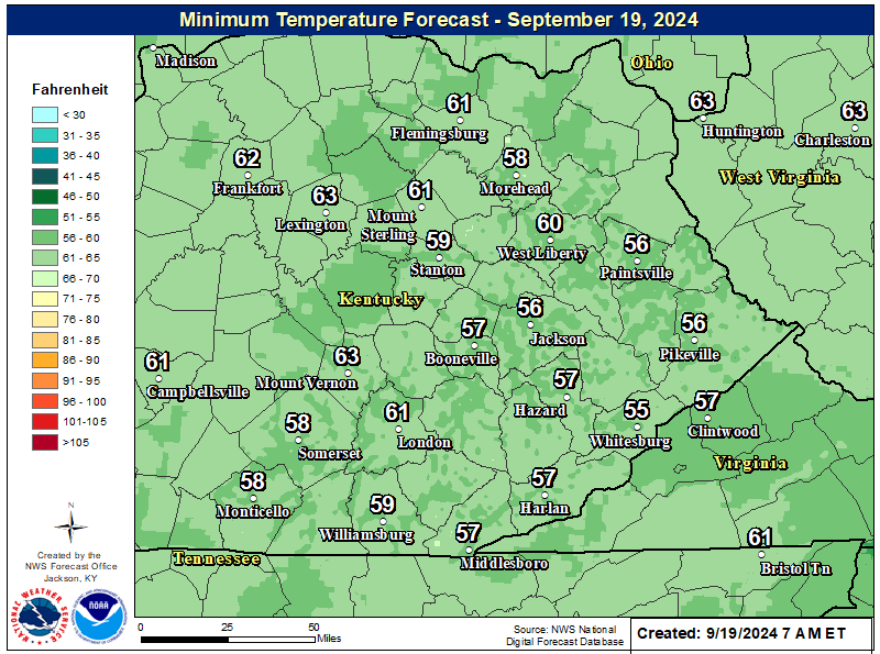
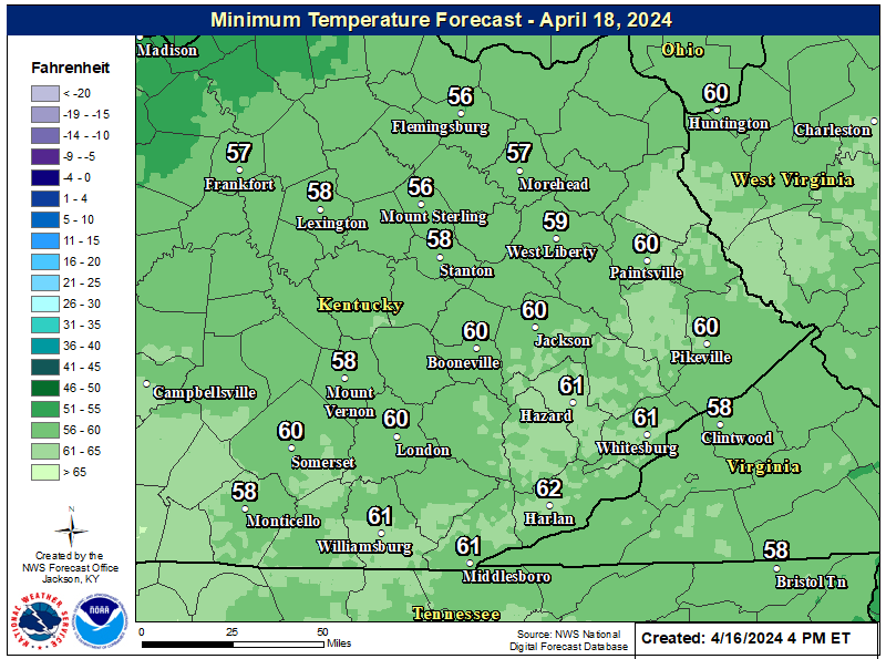
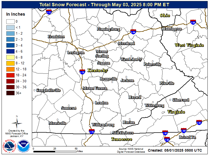
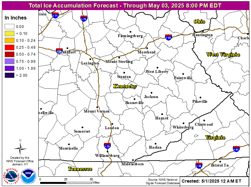
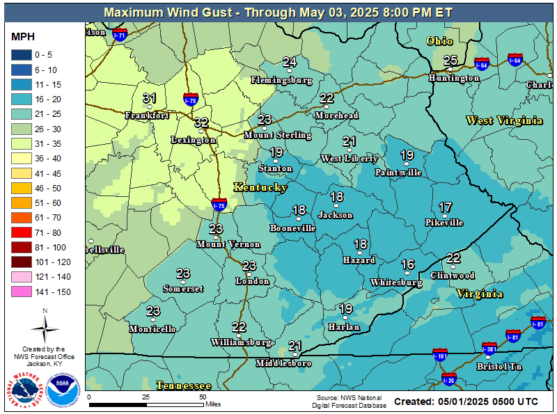
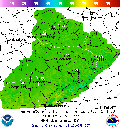
 Click on Graphic for More Details |
||||||||||
|
|||||||||||
|
|||||||||||
Choose a forecast product type (temperature, wind, cloud cover, etc) and desired time from the menu/slider bars at the top of the map. The map will update automatically. Use your mouse to zoom into/pan around on the map.
 |
 |
 |
 |
 |
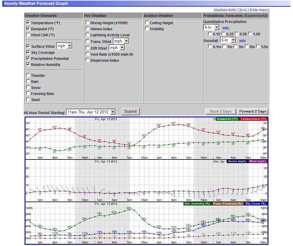
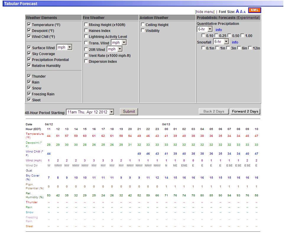
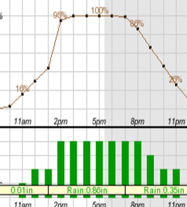
| Hourly Weather Graph | Hourly Tabular Data | Precipitation Timing & Amounts | Hourly Forecast Graphics |
 |
 |
| 6-10 Day Temperature Outlook (CPC) |
6-10 Day Precipitation Outlook (CPC) |
 |
 |
| 8-14 Day Temperature Outlook (CPC) |
8-14 Day Precipitation Outlook (CPC) |
 |
 |
| **Experimental** Week 3-4 Temperature Outlook (CPC) |
**Experimental** Week 3-4 Precipitation Outlook (CPC) |
 |
 |
| One Month Temperature Outlook (CPC) |
One Month Precipitation Outlook (CPC) |
 |
 |
| Three Month Temperature Outlook (CPC) |
Three Month Precipitation Outlook (CPC) |