Widespread, life-threatening considerable flash flooding is expected in south-central Texas through at least Friday. Catastrophic river flooding and rapid rises on small streams, arroyos, and typically dry washes are expected in the Texas Hill Country. Wildfire smoke is impacting air quality across much of the Great Lakes region into the Northeast U.S. with Air Quality Alerts in effect. Read More >
Click through the tabs below for information about our office & how we serve eastern Kentucky
The National Weather Service in Jackson has been watching the skies over eastern Kentucky since 1981. The organization consists of:
Office Management and Administrative Team:
Meteorologist in Charge (MIC) oversees all office activities.
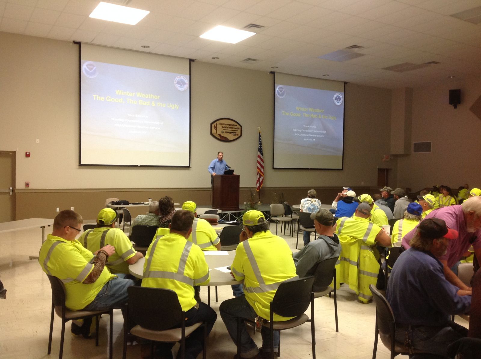
Warning Coordination Meteorologist (WCM) is the primary liaison between the NWS office and the external customer community.
Science & Operations Officer (SOO) provides ongoing training to the staff and works with the latest technology and scientific research advances.
Service Hydrologist (SH) is in charge of the office's hydrology program, including procurement of gages and other equipment in the office's hydrologic service area. They will also provide training and consult the working meteorologists about flood potential and guidance.
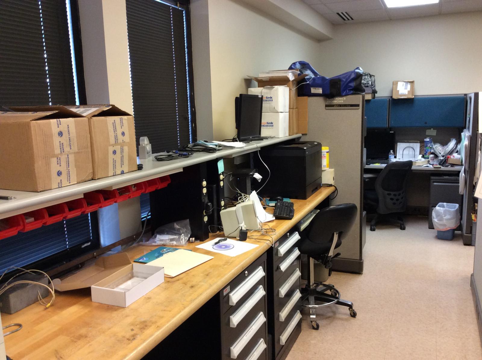
Electronic Systems Analyst (ESA) is responsible for all the electronics in the office and ensuring that the hardware of all computer components work together.
Information Technology Officer (ITO) is responsible for making all computer programs work on different operating platforms.
Observation Program Leader (OPL) is responsible for the cooperative observer program, data acquisition from all sources, and quality control of data.
Administrative Support Assistant (ASA) makes sure all the administrative aspects of a government office are taken care of.
Operations Team:
Forecasters prepare all public forecast and warning products, aviation forecast products, and fire weather forecast products. Forecasters also monitor incoming meteorological and hydrological data, including river and stream gage information. Forecasters work rotating shifts, ensuring a continuous weather watch twenty-four hours a day, seven days a week.
Hydrometeorological Technicians (HMT) gather, transmit, and monitor all incoming data and perform data quality control. The HMT assists the forecasters as needed, handles data requests from public, and works closely with the cooperative observer program.
Electronic Technicians (ET) provide the daily maintenance on all equipment including the WSR-88D radar and Automated Surface Observing Systems.
Operations is the heartbeat of any NWS office. The mission of the NWS has always been to provide weather, hydrologic, and climate forecasts and warnings for the United States, its territories, adjacent waters and ocean areas, for the protection of life and property and the enhancement of the national economy. NWS data and products form a national information database and infrastructure which can be used by other governmental agencies, the private sector, the public, and the global community.
Routine operations at NWS Jackson consist of four main focus areas: Public, Aviation, Fire Weather, and Data Acquisition. For normal operations, the operational staff includes a lead forecaster who has overall responsibility for the shift, a journeyman forecaster, and the HMT who performs data collection and quality control and ensures NOAA All Hazards Radio programing is running smoothly.
Without quality data, preparation of any forecast would be impossible. Although more and more data acquisition is becoming automated, the NWS still relies on people to make sure all equipment is working properly. In addition to the electronics staff, the NWS also uses an Information Technology Officer (ITO) to ensure that all of the various computer systems operate together.
 |
 |
When weather becomes hazardous and/or severe, the whole office works as a team to ensure that warnings are prepared and disseminated to NOAA Weather Radio, emergency management officials, public media outlets, social media, and the Internet. Severe weather detection and early warning is the ultimate goal of the NWS. Severe weather watches, warnings, advisories, and outlooks are issued whenever hazardous weather is expected or is occurring. Hazardous weather events include tornadoes, severe thunderstorms, flooding, snow and ice storms, high winds, extreme heat and cold, frost, and freezes.
Equipment functionality is extremely important in providing these timely and accurate alerts for hazardous weather. At each NWS office, an electronic staff makes sure that the tools needed by the meteorologists are working properly.
 |
 |
Staffed with dedicated employees, the NWS in Jackson is fortunate in having the electronic staff that we do. There are numerous stories of Electronic Technicians who brave every element in fixing vital equipment that fails just as the weather deteriorates, and the meteorologist needs it the most. Climbing radar towers, slippery with ice, or buffeted with storm-force winds and driving rain, the el-tech in the NWS is an unsung hero.
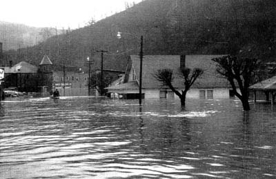
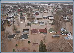
The National Weather Service decided to place a weather station in eastern Kentucky as a result of the tragic flooding of April 2-5, 1977. Classified as a 500-year flood, over 15 inches of rain fell across several major river basins in Kentucky, West Virginia, Tennessee, North Carolina, and Virginia. Twenty-two people lost their lives, and property damage was counted in the hundreds of millions of dollars.
 |
 |
In the damage assessment that followed, several major findings underscored the critical need for additional radar coverage through the mountainous areas, improved communication links, and most importantly, qualified people to work with the local population areas to assist in flood planning, disaster preparedness, and better data collection, including rainfall amounts, through the sparsely populated and rugged terrain of the mountains.
Although the National Weather Service issued a flood watch well in advance of the flooding and flash flood warnings were timely with numerous updates, many people who heard the watch, warnings, and updates took little action as they did not envision the magnitude of the flooding, or they felt that flood control measures would protect their town. For many, actions taken were too little, too late. There were also major failings in the communications links between the NWS and the local population as telephone links, electrical service, and even radio stations went off the air at the height of the disaster. In the affected 4-state area of Kentucky, Tennessee, Virginia, and West Virginia, only Virginia was served by a Disaster Preparedness Meteorologist. It was clear that the local population must have educational programs in order to understand and respond when severe weather watches and warnings were issued.
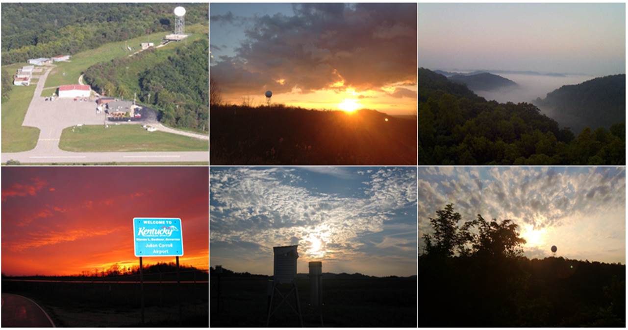
Recognizing that the cornerstone of such an educational program would require an active flash flood focus, with an interested and involved citizenry to minimize the loss of life and property damage, the NWS decided to place a new office in the flash flood prone region of east Kentucky. Due to the centralized location with existing NWS offices and network radars, Breathitt County was selected as the site of the office with the facilities to be located at the Julian Carroll Airport a few miles outside of Jackson.
Construction on the new Weather Service office near Jackson took place through late 1979 into 1980 and the office was officially commissioned January 1st, 1981.
 |
 |
| Archived pictures of the construction of the original NWS Jackson, KY building. | |
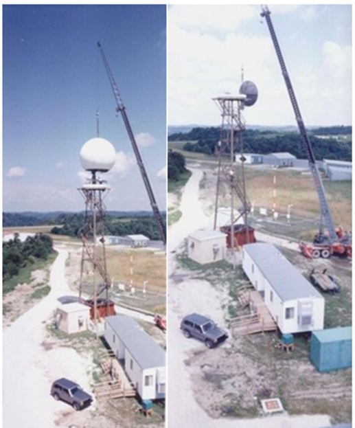
NWS Jackson operated as a "Weather Service Office" or WSO through the 80s and into the early 90s with warning responsibility for 17 counties in east and southeast Kentucky. A restructuring and modernization of the National Weather Service then began in the mid 1990s. Modernization was needed to make use of new technology such as the WSR-88D Dopplar radar and the AWIPS computer system. During construction, a portion of operations was moved into a temporary office in a single-wide trailer. The observing function remained in the old building, while the warning function of the office moved to the trailer below the radar tower. Communication between the dual offices was conducted by telephone.
After installing the antenna for the WSR-88D radar at WSO Jackson, the tower for the old WSR-74S had to be removed. These pictures show the careful dismantling of the old radar. Unfortunately, no pictures could be found of the installation of the 88D itself.
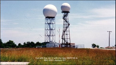
In the pictures below, you can see the rare sight of two radar domes. The smaller one was for the WSR-74S which was replaced by the much more powerful Doppler radar (WSR-88D). Shortly after the 88D became operational, the 74S antenna was dismantled. You can see the crane next to the dome in the process of taking the older radar tower down in the second image below.
 |

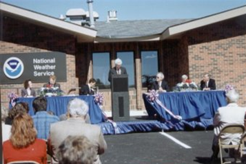
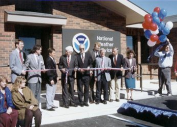
The new building was dedicated October 1st, 1996, with a ribbon cutting ceremony.
 |
 |
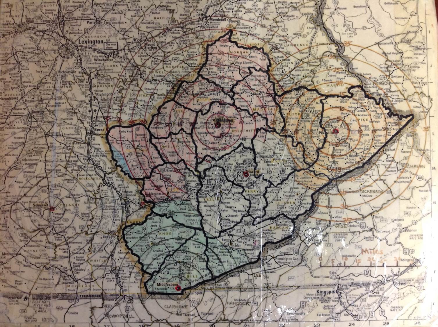
The new office more than doubled the square footage of operational space, going from about 2,000 sq ft to 4,900 sq ft. and increased the county warning area from 17 counties to 33 counties.
 |
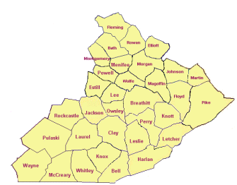 |
| WSO Jackson Warning Area | WFO Jackson Warning Area |
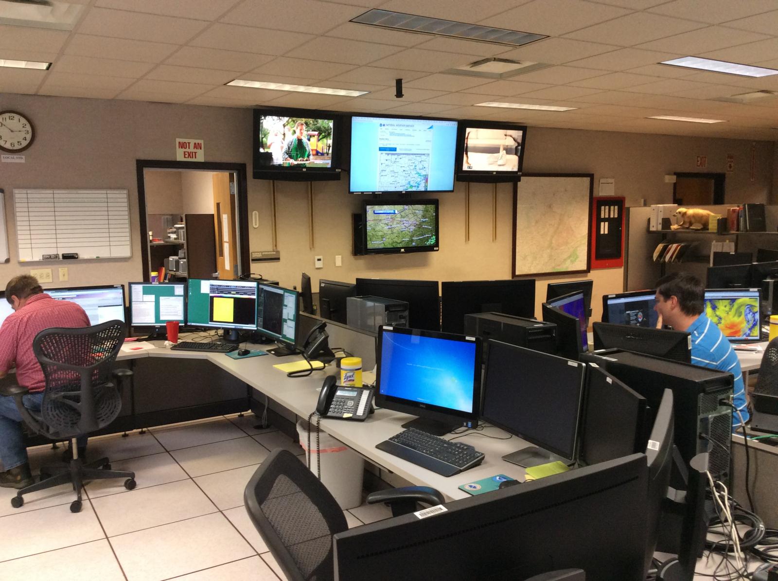
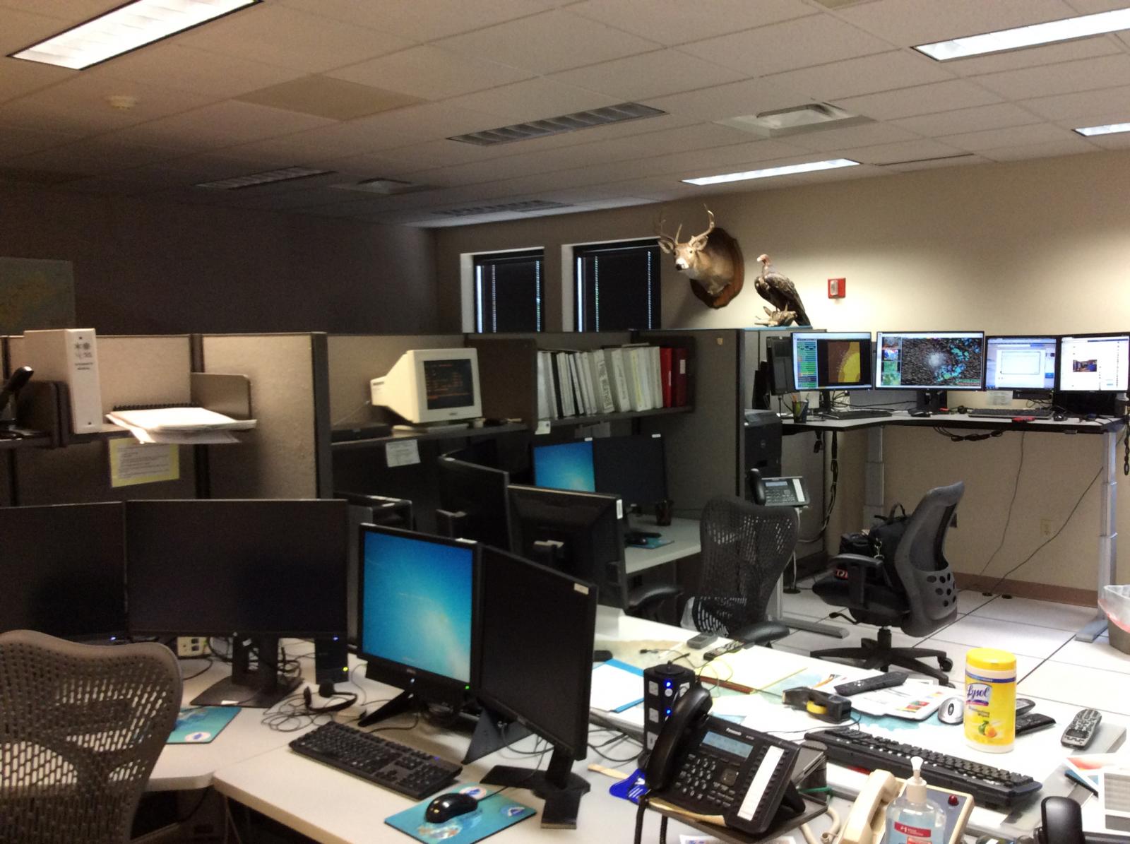
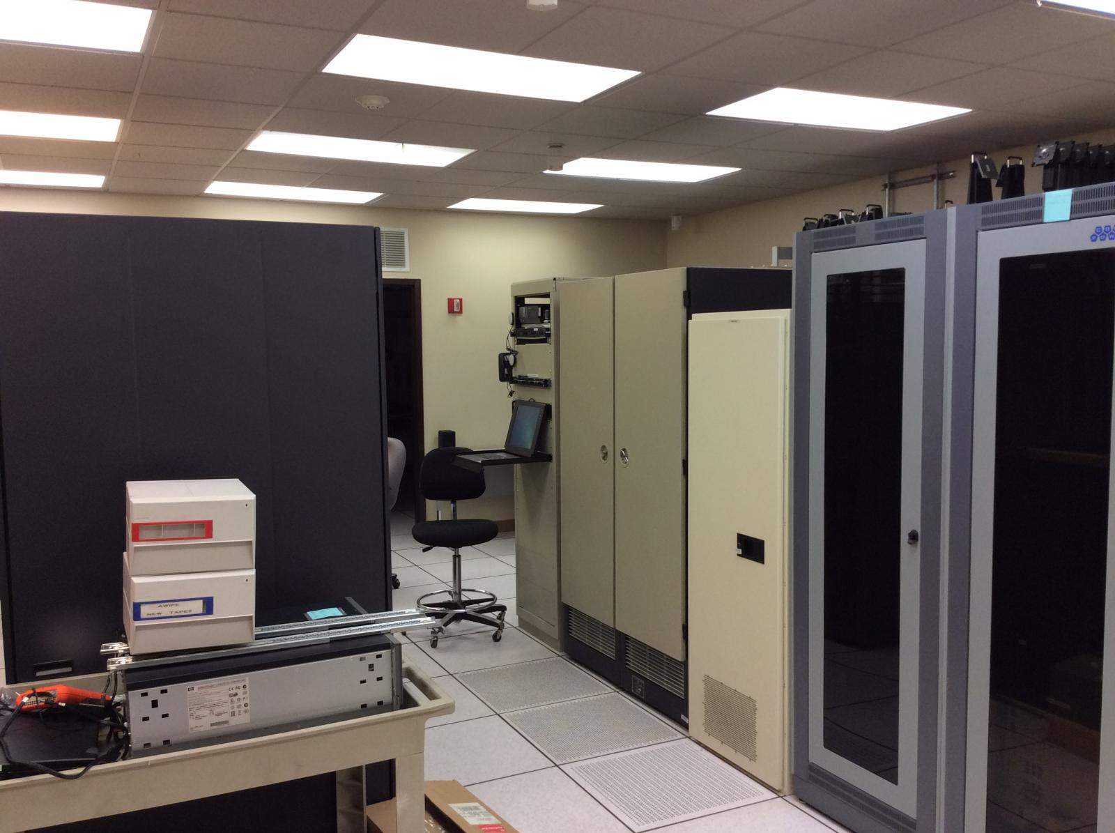
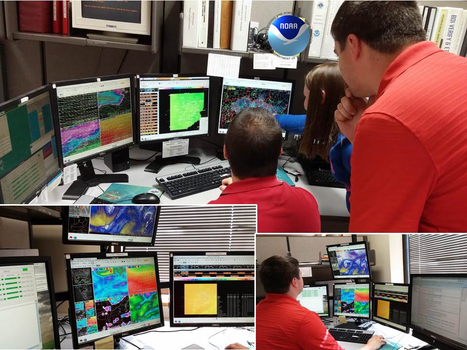
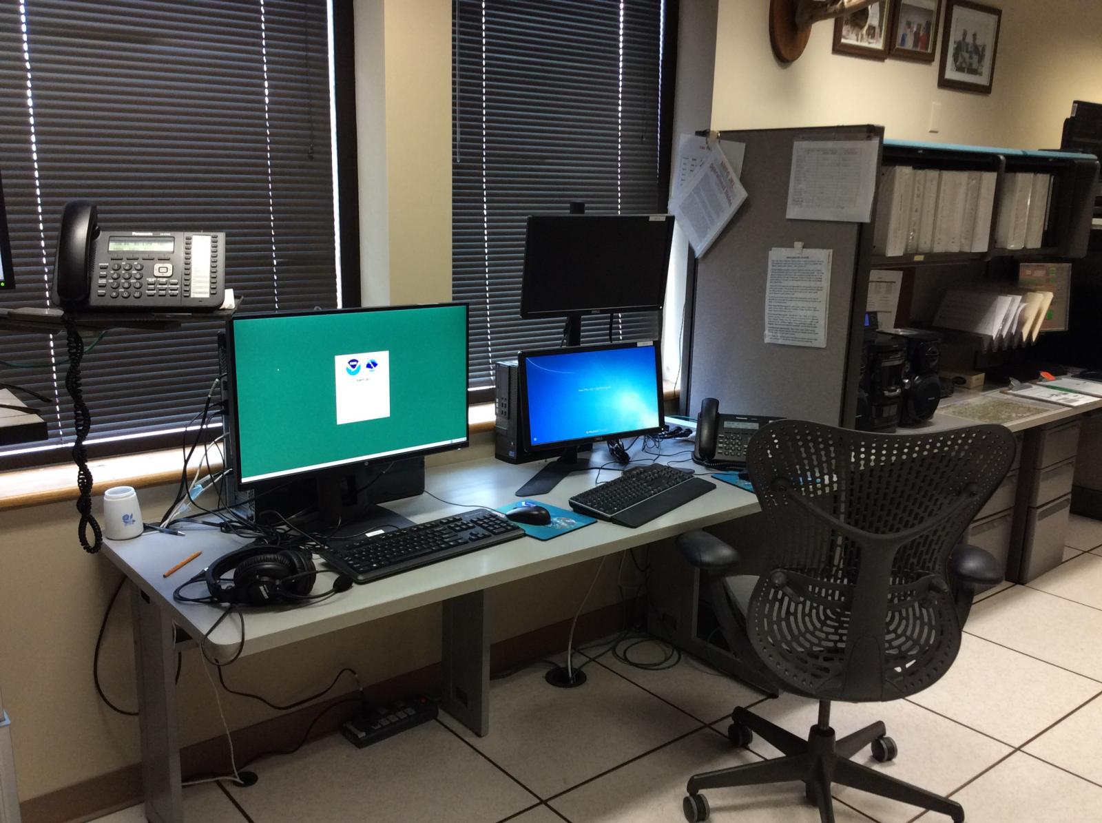
The Advanced Weather Interactive Processing System, or AWIPS, is a technologically advanced information processing, display, and telecommunications system used by the National Weather Service. AWIPS was initially deployed throughout the NWS as part of the modernization in the mid to late 1990s. This system was upgraded to AWIPS II throughout the NWS from 2011 to 2015. Forecasters use this system to view meteorological datasets simultaneously. The system allows forecasters to compare observations, satellite, and radar data to computer model forecast data, in order to produce more accurate forecasts.
 |
 |
 |
| The computer processors used by AWIPS II and the WSR-88D Radar take up an entire room. The processors handle billions of bits of data per second. | AWIPS II workstation where meteorologists can study atmospheric models, observational data, satellite data, and other tools to determine the forecast. AWIPS II is also the tool used to monitor radar images and issue severe weather warnings. | View of a typical AWIPS II model display of the atmosphere. |
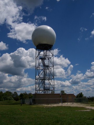
The WSR-88D Dual-Polarization Radar is used to warn the citizens of the United States about dangerous weather and its location. There are 160 WSR-88D radar systems deployed throughout the United States and at selected overseas locations. The maximum range of the WSR-88D radar is 250 nautical miles. The WSR-88D network is an invaluable tool for severe weather and flash flood warnings, air traffic safety, flow control for air traffic, resource protection at military bases, and management of water, agriculture, forest, and snow removal.
The WSR-88D Radar at Jackson, Kentucky is pictured below. The building below the dome houses the necessary computer processors which control operation of the radar data. The tower is 82 feet, plus 32 feet to the top of the dome.
|
|
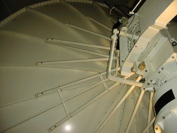 |
| View of the NWS Jackson, KY WSR-88D Radar. | Inside the dome. |
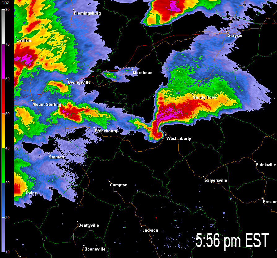
The WSR-88D shows the location, intensity, and movement of precipitation, ranging from light snow flurries to very heavy rain and large hail. From movement of precipitation, the WSR-88D also can sense motion (i.e., velocity) in the atmosphere directed toward and away from the radar. Velocity data helps in assessing atmospheric wind fields, as well as severe weather velocity signatures from thunderstorms. The WSR-88D system contains various software algorithms as well that produce a number of other radar products and alarms when threshold values of certain parameters are met. The WSR-88D greatly enhances the ability of NWS forecasters to issue short-term forecasts for any weather situation, as well as timely and accurate warnings during severe thunderstorm events. Forecasters undergo in-depth training in order to become highly proficient with the radar and to properly interpret severe weather radar signatures. Data available from the WSR-88D allows NWS meteorologists to thoroughly dissect and evaluate thunderstorms and their trends, all of which are extremely helpful in the warning decision process. Accurate spotter reports are also critical in the analysis process and to verify radar signatures. As technology advances, the ability of the radar is updated with new software algorithms. This includes dual-polarization technology, allowing for radar to see hydrometeors both horizontally and vertically, enabling meteorologists to better decipher what is being seen by the radar (debris, snow vs. rain, etc).
 |
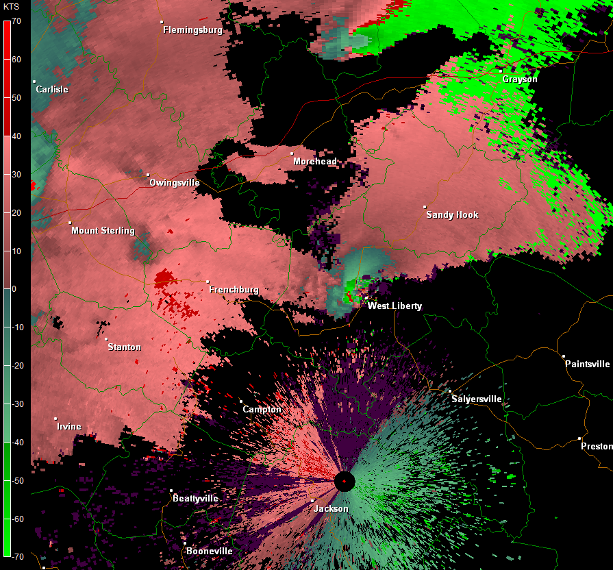 |
| Reflectivity Image of the March 2nd, 2012 Tornado near West Liberty. | Storm Relative Velocity Image of the March 2nd, 2012 Tornado near West Liberty. |
Warnings for severe weather serve no purpose if people are unaware that they have been issued.
NOAA Weather Radio broadcasts began in the 1950s when the old Weather Bureau started broadcasting aviation weather on two stations. In the 1960s, stations were added for the marine community, and by the late 1970s, the system included more than 300 stations serving the general public and mariners.
A White House policy statement issued in January 1975, which was partially driven by the tornado outbreak of April 3, 1974, designated NOAA Weather Radio as the sole government-operated radio system to provide direct warnings into private homes for both natural disasters and nuclear attacks. Now more than 550 transmitters provide coverage to most of the Nation's population. The weather radio coverage is now around 97% across the country. Nationwide, NOAA Weather Radio broadcasts on 7 frequencies, making it simple to tune into a NWR broadcast as you move. Portable NWR receivers are becoming more popular with outdoor sporting enthusiasts making it an essential part of outdoor gear.
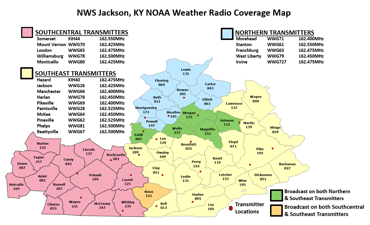
Eastern Kentucky is served by 20 transmitters which are placed throughout the region to provide the best weather radio coverage possible. NWR is one of the most dependable and timely ways to receive warnings and advisories as well as the local forecast for the area served by that transmitter.
For more information about NOAA Weather Radio in Eastern Kentucky, please visit www.weather.gov/jkl/weatherradio.
 |
 |
| NOAA Weather Radio hardware at NWS Jackson, KY. | NOAA Weather Radio broadcasts from NWS Jackson reach into four states. |
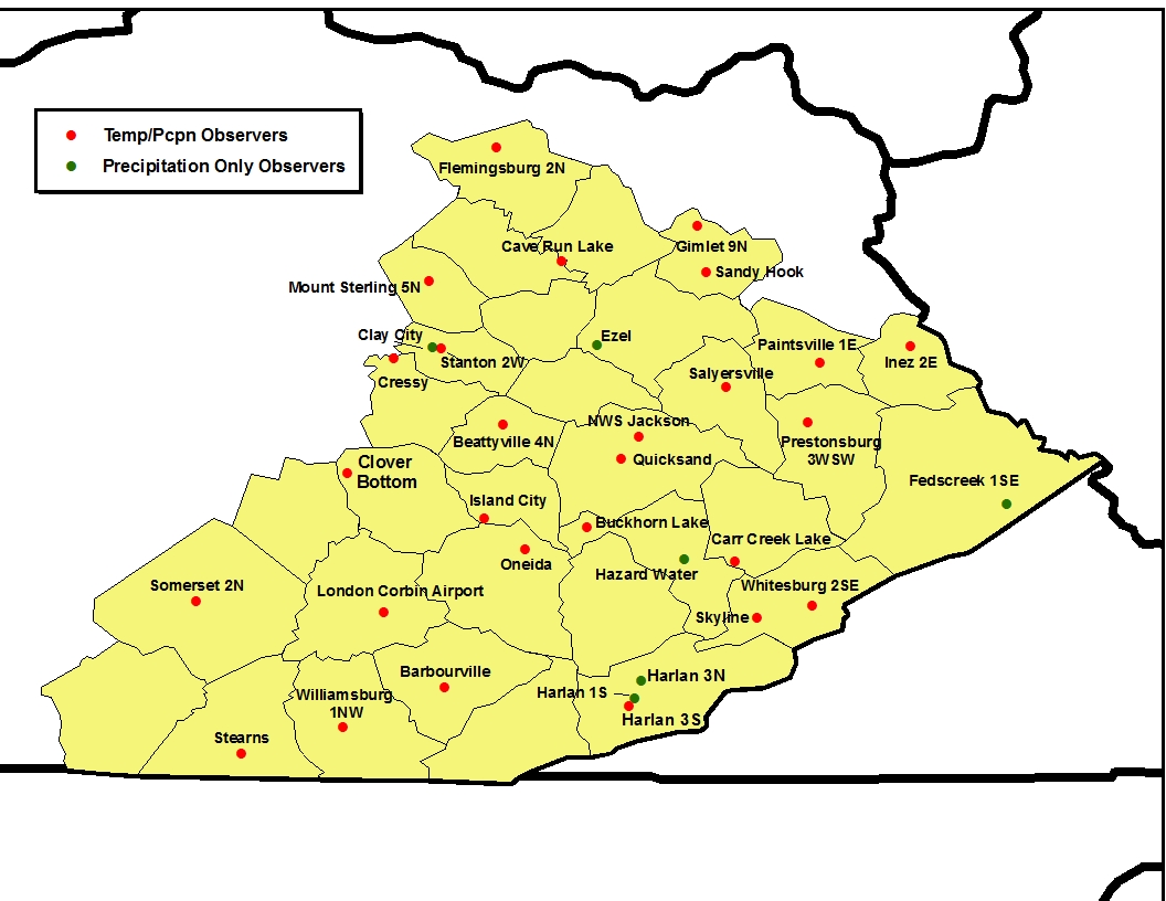
Over two centuries ago, Thomas Jefferson envisioned a nationwide network of weather observers. In 1776, he began to recruit volunteer weather observers throughout Virginia. By 1816, he had established a network of observers in every county of Virginia. Also by 1800 there were volunteer weather observers in 5 other states across the newborn nation. They included Massachusetts, Pennsylvania, Connecticut, New York, and North Carolina. By 1891, the network of voluntary observers across the country had grown to 2,000 stations.
By 1890 the direction of the growing volunteer force was taken over by the Smithsonian Institution, however, it was not until 1953 that Dr. Helmut Landsberg of The Weather Bureau conducted a study with Iowa State University to establish a scheme to blanket the nation with a volunteer network. It was determined that there should be one weather station every 25 miles for estimating rainfall to acquire an accuracy tolerance of ten percent. With this blanket coverage in mind, our cooperative weather observer network has grown to around 12,000 stations today.
On a local level, the observations received by volunteer observers are fundamental in helping the NWS to protect life and property. Forecasts are often based on observer data, and even warnings for severe weather have been issued based on information received from a volunteer. Once a month, the local weather office collects all the data and sends it to the National Centers for Environmental Information in Asheville, NC. There it is entered into a national database that is accessible by the public. A majority of requests for this data come from attorneys, insurance companies, meteorological consultants, businesses (including construction), utilities, universities, transportation, agriculture, education, and the media.
For more information about our Cooperative Weather Observers, please visit www.weather.gov/jkl/coop.
 |
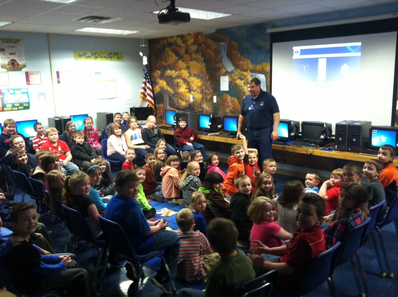
Outreach is a very important part of what we do at the National Weather Service in Jackson. The Warning Coordination Meteorologist (WCM) works closely with the public, media, and emergency management officials in an effort to make sure that National Weather Service products and information are understood and acted on properly. Our outreach team speaks to hundreds of children and adults across eastern Kentucky each year about weather and weather safety. We also have a dense network of weather spotters and teach several SKYWARN Weather Spotter training classes each year across eastern Kentucky.
If you are interested in having the National Weather Service speak at your event, would like to schedule a tour of our facilities, or have any additional outreach requests, please contact us at 606-666-2560 or by emailing w-jkl.webmaster@noaa.gov.
 |
 |
 |