Overview
|
A complex weather system set up as an area of low pressure pushed across the Tennessee Valley on Saturday, May 5, 2018. Initially, a few supercell-like thunderstorms produced large hail due to their rotation and stronger updrafts near the Virginia border. A bowing line of storms then brought damaging wind gusts into the Lake Cumberland region later in the afternoon. There were multiple reports of large hail in some of the stronger storms in southeast Kentucky, with the largest hail occurring in Harlan County near Loyall. |
|
Photo
 |
 |
 |
| Large hail northeast of Elkhorn City (Courtesy of Toni May Facebook). |
Large hail near Harlan Animal Hospital (Courtesy of Arlene Blanton Facebook). |
Large hail NW of Loyall (Courtesy of Tammy Hyatt from Andrew Dockery WYMT Facebook). |
 |
|
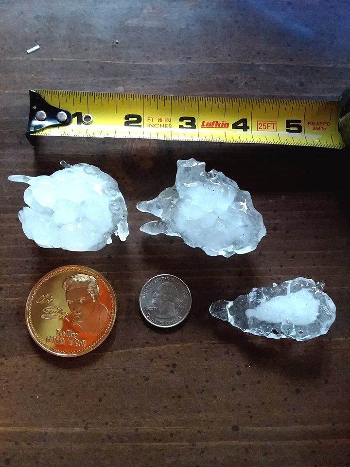
Large hail near Baxter (Courtesy of Antony Noe from Brandon Robinson WYMT Facebook). |
Radar
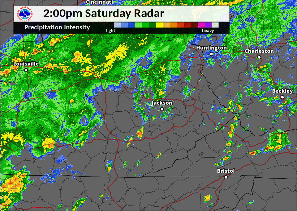 |
| 2 - 8 pm May 5th Radar Loop. |
Storm Reports
| Local Storm Reports received from May 5, 2018 | ||
 |
||
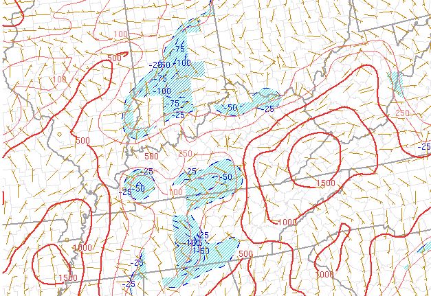
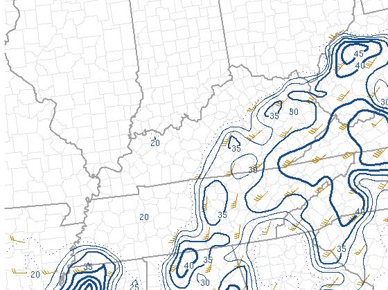
Environment
 |
 |
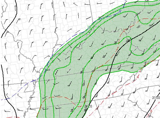 |
| Instability maximized across southeast KY at 2pm. | Winds throughout the atmosphere strong enough for severe storms at 2 pm. | South/southwest winds resulting in abundant moisture across eastern KY at 2 pm. |
 |
Media use of NWS Web News Stories is encouraged! Please acknowledge the NWS as the source of any news information accessed from this site. |
|