
Tropical Storm Bertha could bring tropical storm conditions to portions of the Florida Panhandle and Alabama coast through Wednesday, where a Tropical Storm Watch and Storm Surge Watch is in effect. Numerous severe thunderstorms with heavy rainfall are expected from the Ohio Valley into the Mid-Atlantic and Northeast Tuesday. Read More >
Jackson, KY
Weather Forecast Office
Overview
Two storm complexes, often referred to as mesoscale convective systems, moved through eastern Kentucky during the day. The first tracked through during the early to mid afternoon hours, while the second followed in its wake from mid afternoon through the evening. Strong to severe winds along the leading edge of each complex led to scattered damage throughout eastern Kentucky, mainly consisting of downed trees. Additionally, isolated flash flooding occurred in Jackson and Whitley Counties due to the multiple rounds of heavy rainfall. Clover Bottom in particular saw very heavy rainfall as over 3 inches of rain in a short period of time damaged a portion of U.S. Highway 421.Photos
 |
 |
 |
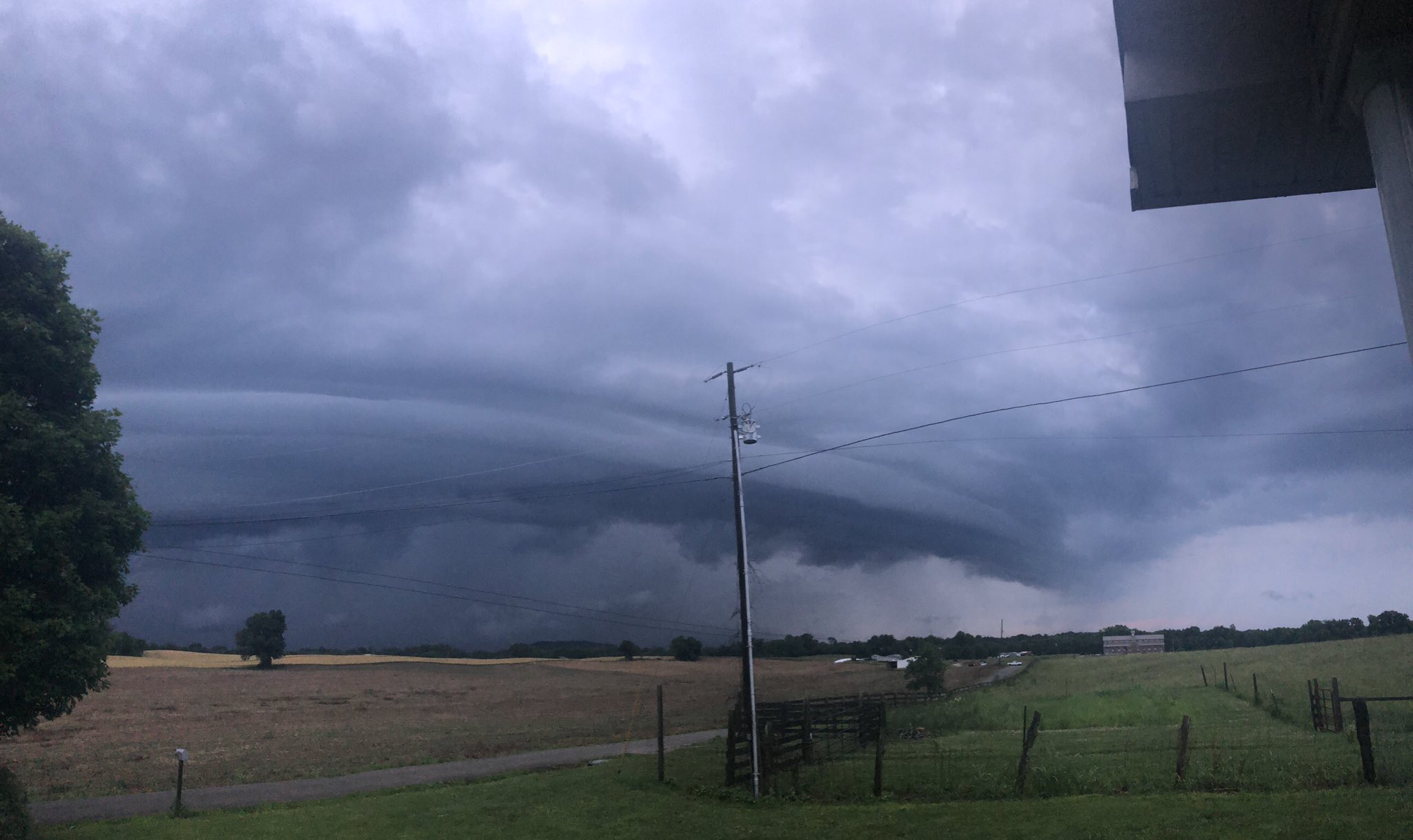
| Shelf cloud in Monticello. Courtesy Dakotah Harper. | Flash flooding in Clover Bottom. Courtesy Mrs. Gabbard. | Storms moving into Prestonsburg. Courtesy Allen Bolling. |
 |
 |
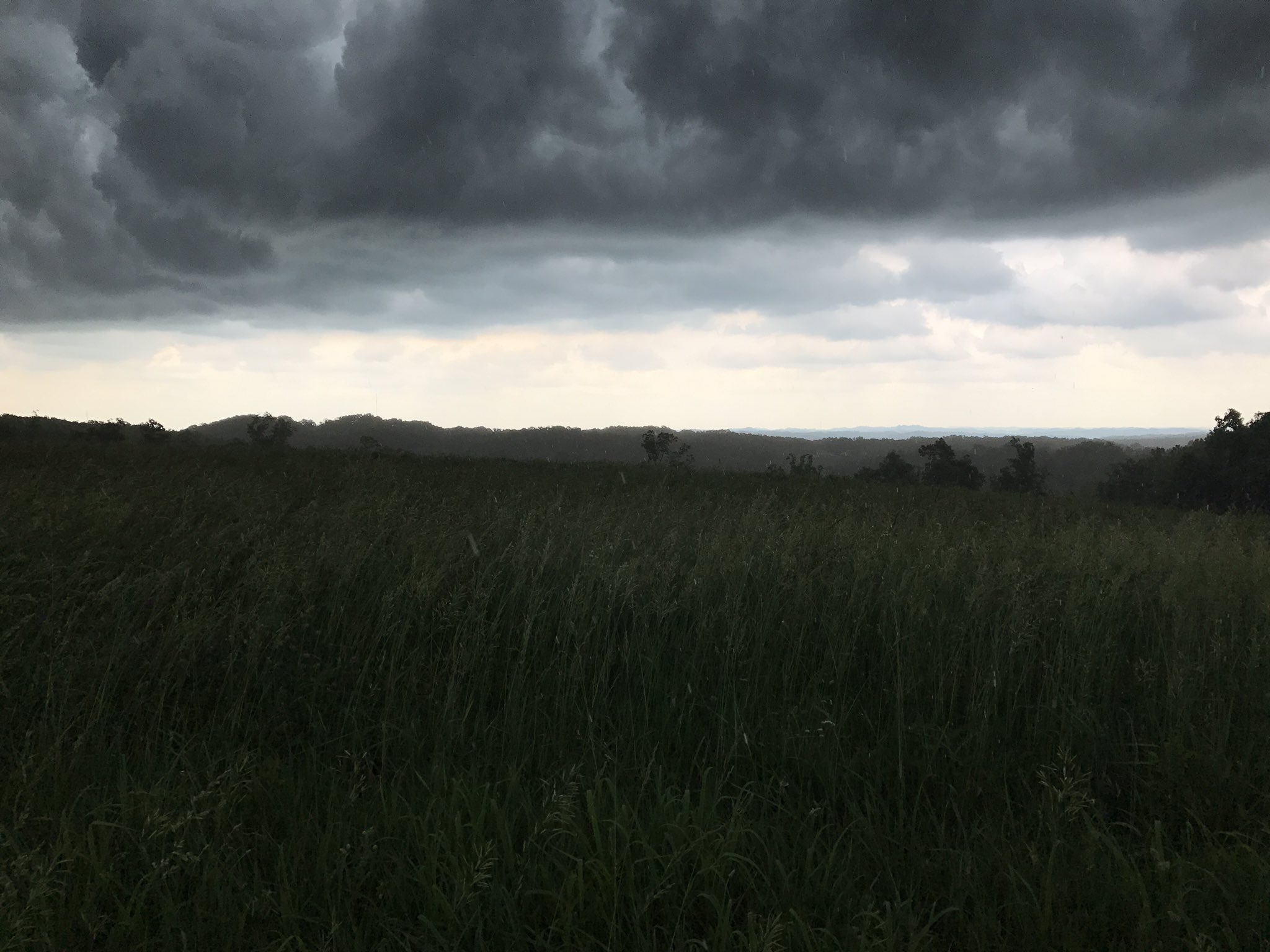 |
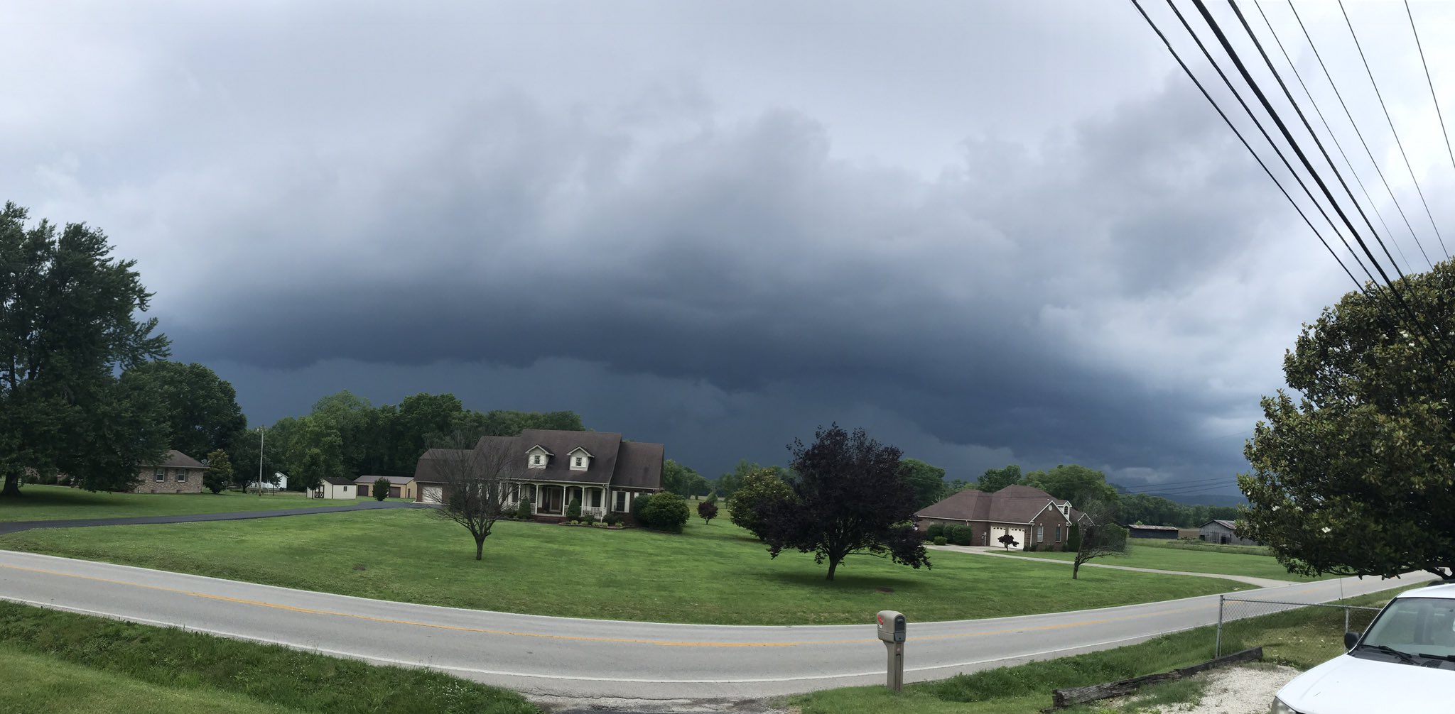
| Low-hanging scud cloud in Pikeville. Courtesy Julie via WYMT. | Shelf cloud approaching Stanton. Courtesy Dustin Jordan. | Storms in Beattyville. Courtesy Tiffany Jo Osborne. |
Radar
 |
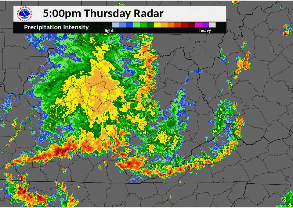 |
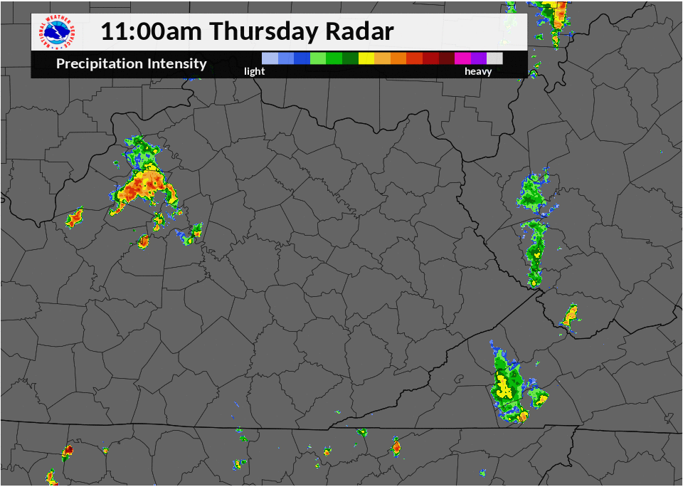
| Radar imagery from 11 a.m. to 5 p.m. on Thursday, May 31, 2018. | Radar imagery from 5 p.m. to 11 p.m. on Thursday, May 31, 2018. |
Storm Reports
| Local Storm Reports received from May 31, 2018 | ||
 |
||
 |
Media use of NWS Web News Stories is encouraged! Please acknowledge the NWS as the source of any news information accessed from this site. |
|
Warnings/Hazards
Decision Support - Outlooks
Current Weather Hazards
Hazards Criteria
Weather Story Graphic
Recent Storm Reports
Submit a Report
Forecasts
Decision Support - Forecast
Aviation Forecasts
Fire Weather Forecasts
Hourly Weather Forecast
Activity Planner
River Forecasts
Forecast Discussion
Current Conditions
Regional Radar
Decision Support - Current
Rivers and Lakes
Hourly Airport Weather
Local Radar
Satellite
Kentucky Mesonet
Past Weather
Local Climate Info
Temp/Precip Summary
How Much Rain Fell?
How Much Snow Fell?
Past Weather Events
Drought Information
Local Coop Observers
US Dept of Commerce
National Oceanic and Atmospheric Administration
National Weather Service
Jackson, KY
1329 Airport Road
Jackson, KY 41339
606-666-8000
Comments? Questions? Please Contact Us.

