Tropical Storm Bertha could bring tropical storm conditions to portions of the Florida Panhandle and Alabama coast through Wednesday, where a Tropical Storm Watch and Storm Surge Watch is in effect. Numerous severe thunderstorms with heavy rainfall are expected from the Ohio Valley into the Mid-Atlantic and Northeast Tuesday. Read More >
Overview
|
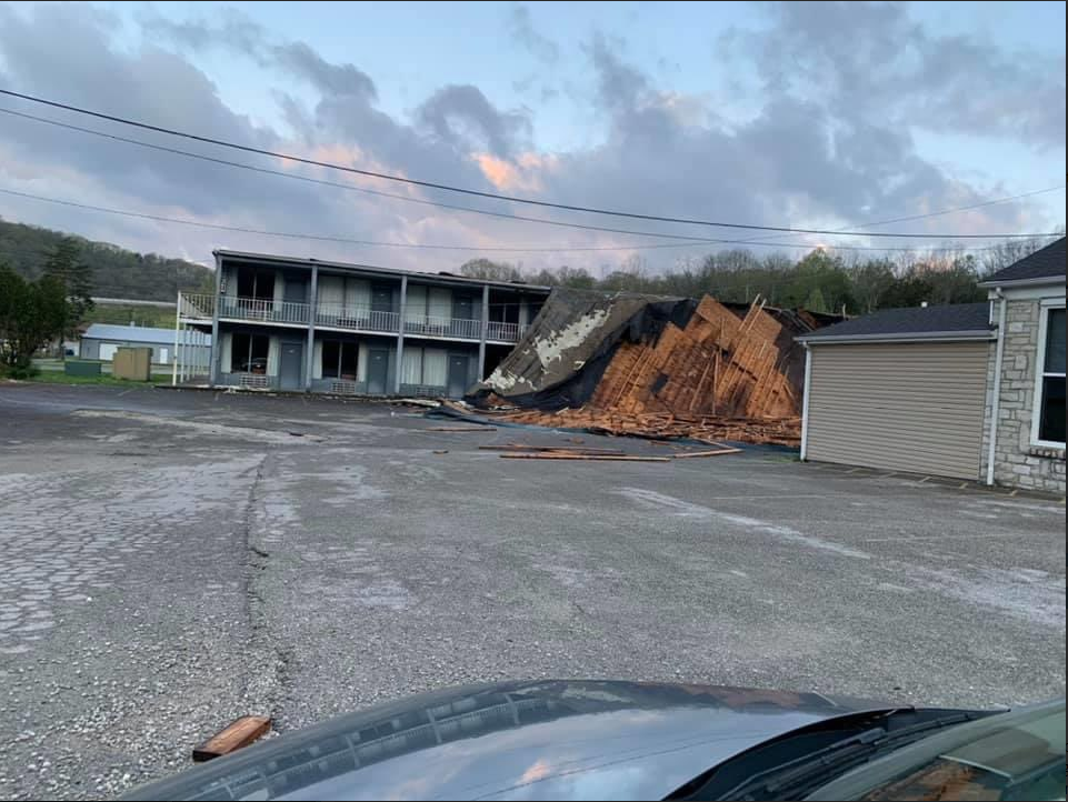
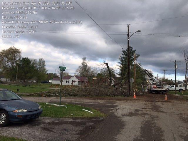
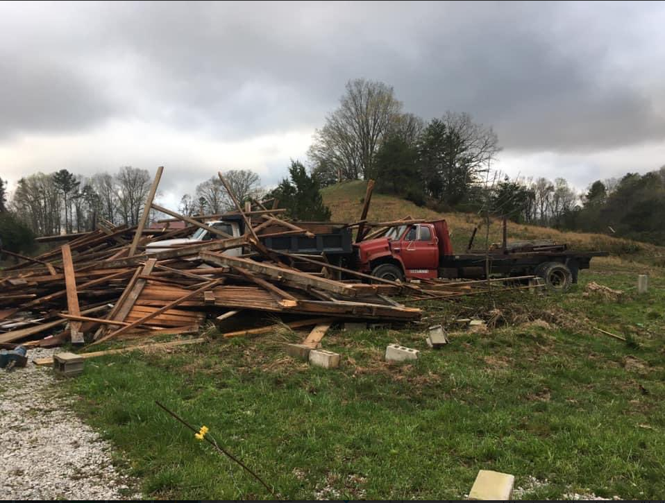
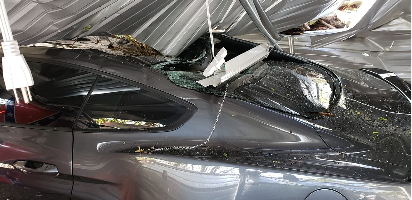
Supercell thunderstorms developed along a west to east oriented boundary early this afternoon near the Ohio River, congealing into a broken line as they pushed south into eastern Kentucky throughout the afternoon. Several instances of wind damage and hail were observed along with a couple of funnel cloud reports in Rowan County. A strong cold front sparked a second line of showers and thunderstorms that pushed east of Interstate 75 and into eastern Kentucky during the late evening hours of April 8th. These continued to move through the coalfields through the early morning hours of the 9th, producing numerous reports of wind damage. The most extensive of this was found in portions of Fleming County, as well as near Brodhead in Rockcastle County. |
|
 |
 |
 |
| Tree Knocked Down Next to Home in Brodhead (Courtesy of Jordan Smith) | Tree Knocked Down onto a Car in Brodhead (Courtesy of Jordan Smith) | Trees Downed at City Park in Brodhead (Courtesy of Dave Colson) |
 |
 |
 |
| More Damage in Brodhead (Courtesy of Jordan Smith) | Hail in Brodhead (Courtesy of Jordan Smith) | Damage in Fleming county between Mt. Carmel and Flemingsburg (Courtesy of Kody Baker and Allie Bortles) |
 |
 |
 |
| On Taylor Mill Rd in northern Fleming County (Courtesy of Kody Baker and Allie Bortles) | On Taylor Mill Rd in northern Fleming County (Courtesy of Kody Baker and Allie Bortles) | On Taylor Mill Rd in northern Fleming County (Courtesy of Kody Baker and Allie Bortles) |
 |
 |
 |
| Gray Hawk Community (Courtesy of Jennifer Rowland) | Gray Hawk Community (Courtesy of Jennifer Rowland) | Gray Hawk Community (Courtesy of Jennifer Rowland) |
Radar
Environment
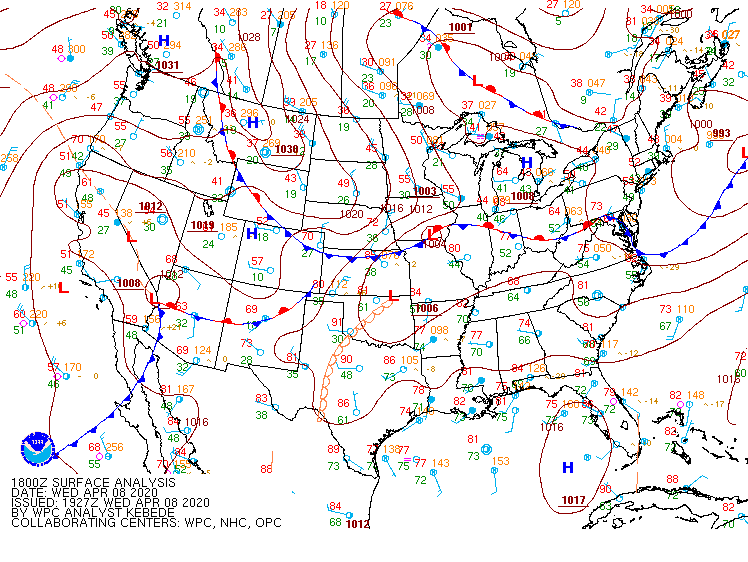 |
| 2 pm April 8th - 2 am April 9th Surface Maps |
 |
.gif) |
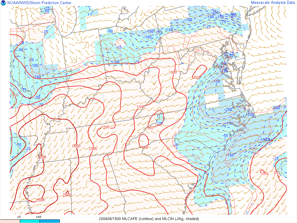
| 2 pm April 8th - 12 am April 9th Mixed Layer CAPE | 2 pm April 8th - 11 pm April 8th Downdraft CAPE |
.gif) |
.gif) |
| 2 pm April 8th - 11 pm April 8th Effective Bulk Shear | 2 pm April 8th - 11 pm April 8th Mid Level Lapse Rates |
 |
Media use of NWS Web News Stories is encouraged! Please acknowledge the NWS as the source of any news information accessed from this site. |
|