Overview
|
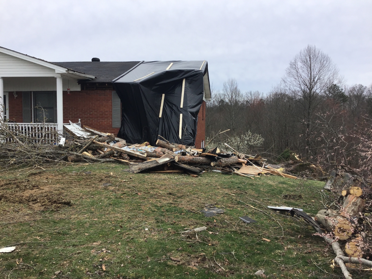
A supercell thunderstorm tracked across McCreary County during the late evening hours of March 12th. A National Weather Service Jackson survey team found intermittent damage along the entire path. There were three distinct areas of damage where the tornado touched down. On Chitwood Ridge Rd, several hardwood trees were snapped off. There was also a house with some roof damage. The next area of tornado damage was on the northern side of Whitley City along north Highway 1651, where more hardwood trees were snapped off along with some damage to a few two-story buildings. Finally, the third area of tornado damage was northeast of Whitley City on Stephens Farm Rd. A tree landed on a house, leading to major damage. There were also several more houses with roof damage and additional trees snapped off. |
Photo from NWS Storm Damage Survey. |
Tornado
|
|
||||||||||
|
||||||||||
|
Tornado - Whitley City
Track Map 
|
||||||||||||||||
The Enhanced Fujita (EF) Scale classifies tornadoes into the following categories:
| EF0 Weak 65-85 mph |
EF1 Moderate 86-110 mph |
EF2 Significant 111-135 mph |
EF3 Severe 136-165 mph |
EF4 Extreme 166-200 mph |
EF5 Catastrophic 200+ mph |
 |
|||||
Radar
| March 12th, 2020 @ 8 pm through March 13th, 2020 @ 2 am. |
Environment
 |
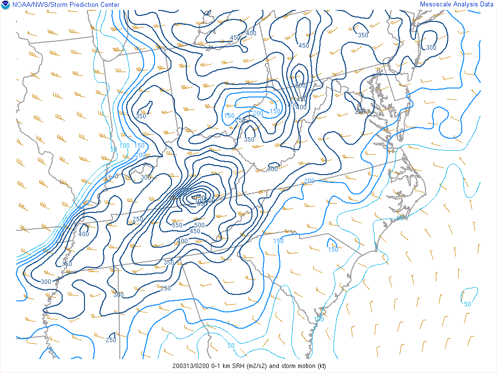 |
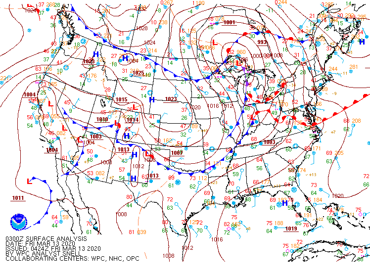
| Surface Analysis at 11:00 pm. | 0-1 km SRH at 10:00 pm. |
 |
Media use of NWS Web News Stories is encouraged! Please acknowledge the NWS as the source of any news information accessed from this site. |
|