Dangerous heat will expand from the Gulf Coast into the Southern Plains and Desert Southwest through week's end. Additional extreme heat impacting the Pacific Northwest will shift to the northern Plains by the weekend. Tropical Storm Bertha is expected to continue to impact portions of the northern Gulf Coast from the western Florida Panhandle to southeastern Louisiana through tonight. Read More >
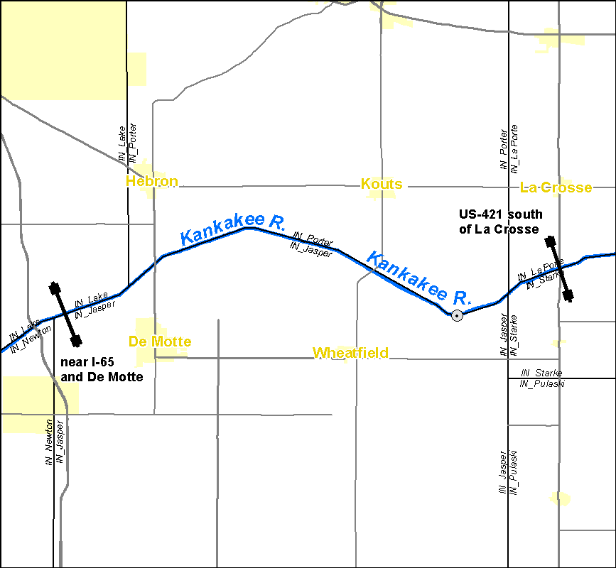
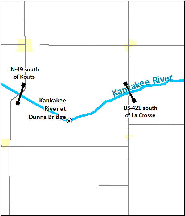
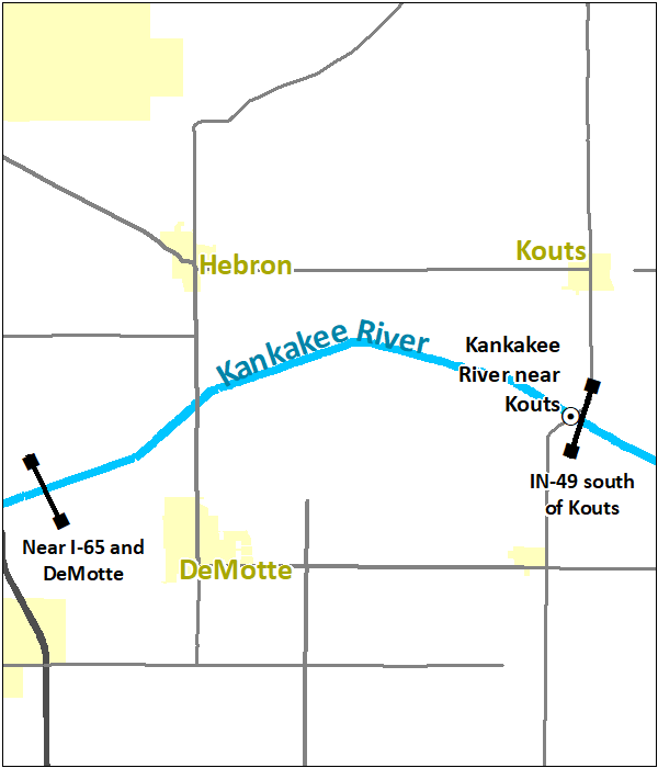
Effective December 15, 2020, river forecast services for the Kankakee River near Kouts, Indiana, gauge (NWS identifier KTSI3) will be discontinued. Flood warnings will continue to be issued for river flooding along the affected portions of the Kankakee River in Jasper and Porter Counties, Indiana, but will be based upon the river gauge at Dunns Bridge, Indiana (NWS identifier DBRI3). River flood impacts in the vicinity of the Kouts gauge closely match the water levels observed at the Dunns Bridge gauge. Thus, no significant changes to warning services provided by the National Weather Service are expected as a result of this change.
These changes are the result of a multi-month review of flood impacts and hydrology in the vicinity of the gauge and feedback provided by the Kankakee River Basin and Yellow River Basin Development Commission, the Porter County Emergency Management Agency, and the Jasper County Emergency Management Department.
Click here for the service change notice issued October 20, 2020, announcing these changes.
Current River Forecasts and Warnings
|
|
 |
 |
Future River Forecasts and Warnings
|
|
|