Tropical Storm Bertha could bring tropical storm conditions to portions of the Florida Panhandle and Alabama coast through Wednesday, where a Tropical Storm Watch and Storm Surge Watch is in effect. Numerous severe thunderstorms with heavy rainfall are expected from the Ohio Valley into the Mid-Atlantic and Northeast Tuesday. Read More >
|
Action Stage
|
|
Action is taken for possible high water. Water may cause minor impacts and be a nuisance to persons near the stream. Local governments or agencies may take actions to reduce property damage and danger to life.
Use Caution!
 |
|
Minor Flood Stage
|
|
Some property flooding and public threat may occur. Roadways, trails, park land, and private property near the stream may become flooded.
Take Action!
 |
|
Moderate Flood Stage
|
|
Flooding of structures and main roadways may occur. Residences and numerous roadways near the stream may become flooded. Evacuations may be necessary. Disruptions to daily life.
Take Action!
 |
|
Major Flood Stage
|
|
Extensive flooding of structures, main roadways, and other critical infrastructure may occur. Schools, hospitals, police stations, fire stations, residences, businesses, and roadways may become flooded. Evacuations may be necessary. Significant disruptions to daily life.
Take Action!
 |
|
Low Stage
|
|
Water is low enough to be a public threat, cause impacts to commerce, or damage property. Boating or shipping traffic may be restricted. Water supply intakes may be affected.
 |
|
Normal Pool
|
|
The typical water level upstream of a lock or dam. For structures where the water level can be adjusted, the normal pool is the general target water level, as indicated by an operations manual or permit. For structures without manual adjustments, the normal pool is the spillway water level.
|
|
Bankfull
|
|
Water begins to overflow the lowest natural banks along this stretch of the stream. Very minimal impacts confined to areas near the stream are possible.
|
|
Stage
|
|
Water level above an arbitrary reference elevation called the datum. Not the same as depth!
 |
|
Flow
|
|
Estimated rate of water moving past a given location. Also referred to as streamflow or discharge. Most runoff becomes streamflow in area streams.
 |
|
Datum
|
|
Arbitraty reference elevation for stage observations. Adding the stage value to the datum will provide the water elevation. The water elevation is the same as the datum when stage is zero (0).
Note that different datum systems exist which may elevation differences of inches to feet.
|
|
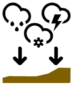
Precipitation
|
||
|
|
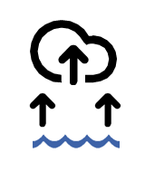
Evaporation
|
||
|
|
Transpiration
|
||
|
|
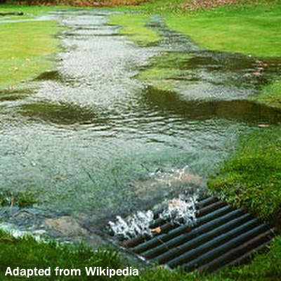
Runoff
|
||
|
|
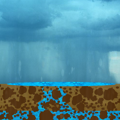
Infiltration
|
||
|
|
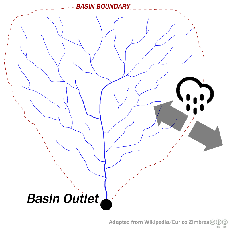
Drainage Basin
|
|
A drainage basin, also known as a watershed or catchment, is the area from which water flows to form a stream. A basin is defined by its outlet. All precipitation (rain and snow) that falls within a drainage basin eventually flows to the outlet point, unless it is first removed by evaporation and transpiration.
 |
|
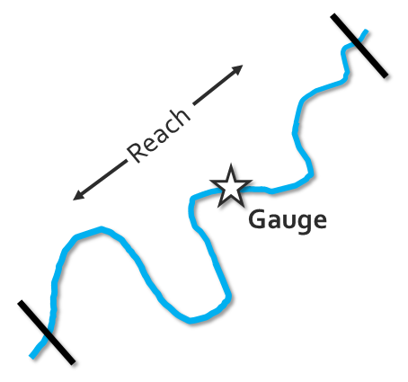
River Reach
|
|
A river reach is a stretch of a stream or river that behaves in a generally similar way. Flood impacts and flood impact categories (such as minor flood stage) are determined for the entire river reach tied to a specific river gauge.
 |
More Information |