
Dangerous heat will expand from the Gulf Coast into the Southern Plains and Desert Southwest through week's end. Additional extreme heat impacting the Pacific Northwest will shift to the northern Plains by the weekend. Tropical Storm Bertha is expected to continue to impact portions of the northwestern Gulf Coast from south central Louisiana to the upper Texas coast today. Read More >
Last Map Update: Thu, Jul 23, 2026 at 10:06:26 am CDT




 Weather Events |
 Skywarn Program |
 Submit A Storm Report |
 West Texas Mesonet Data |
 Precipitation Reports |
 Winter Weather |
|
Local Weather History For July 23rd...
|
|
1995: After a record number of tornadoes earlier this spring in the TX Panhandle, the weather pattern on this late July
afternoon spawned an exceptionally rare, tornadic low-precipitation supercell that drifted southeast across the south-central TX Panhandle. The two tornadoes that accompanied this storm were meticulously documented and photographed by two future NWS Lubbock employees, Todd Lindley and Bruce Haynie. The first tornado developed about five miles southeast of Washburn (or about eight miles southwest of Claude) near HWY 287 and lasted for about 15 minutes from 1902-1917 and traveled for about four miles. Despite causing no damage, this highly photogenic tornado was rated F1. The second tornado occurred eight miles southeast of Claude and also caused no damage over its two mile path, but was rated F0. However, damage from very large hail up to baseball size accompanied the parent supercell storm earlier in the evening about five miles northeast of Amarillo resulting in $100,000 in property damage. Smaller, but still destructive, hail fell in Claude also causing about $100,000 in damage mostly to roofs and vehicles. This high-based supercell and its first tornado were clearly visible from nearly 20 miles away by thousands of Amarillo residents. |





 Local Radar
 Weather Map
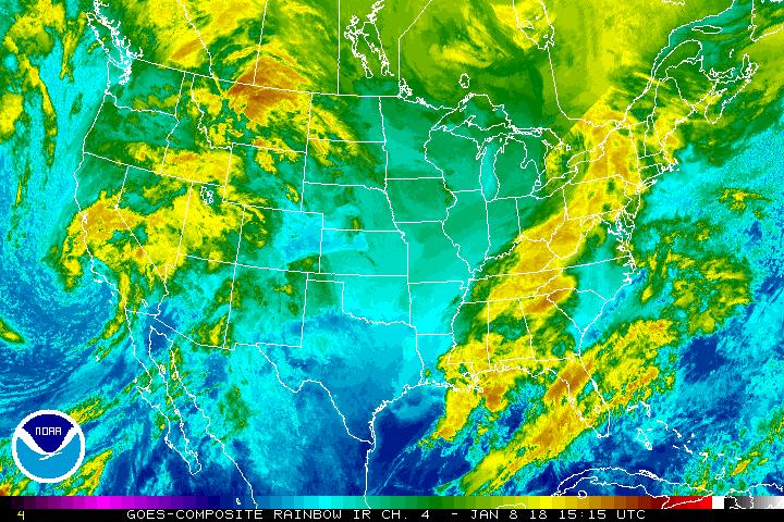 Satellite
 Follow us on X
 Follow us on Facebook
 Follow us on YouTube
 LUB RSS Feed


