National Weather Service United States Department of Commerce
Click a location below for detailed forecast.

Last Map Update: Sat, Aug 2, 2025 at 8:58:34 am CDT
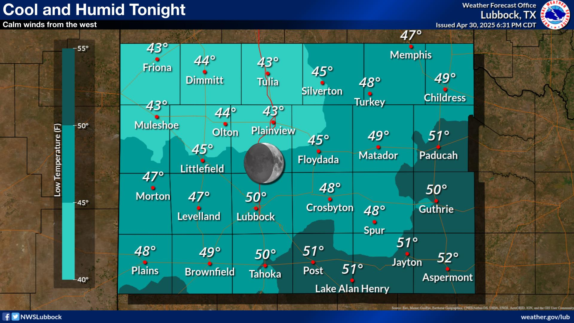
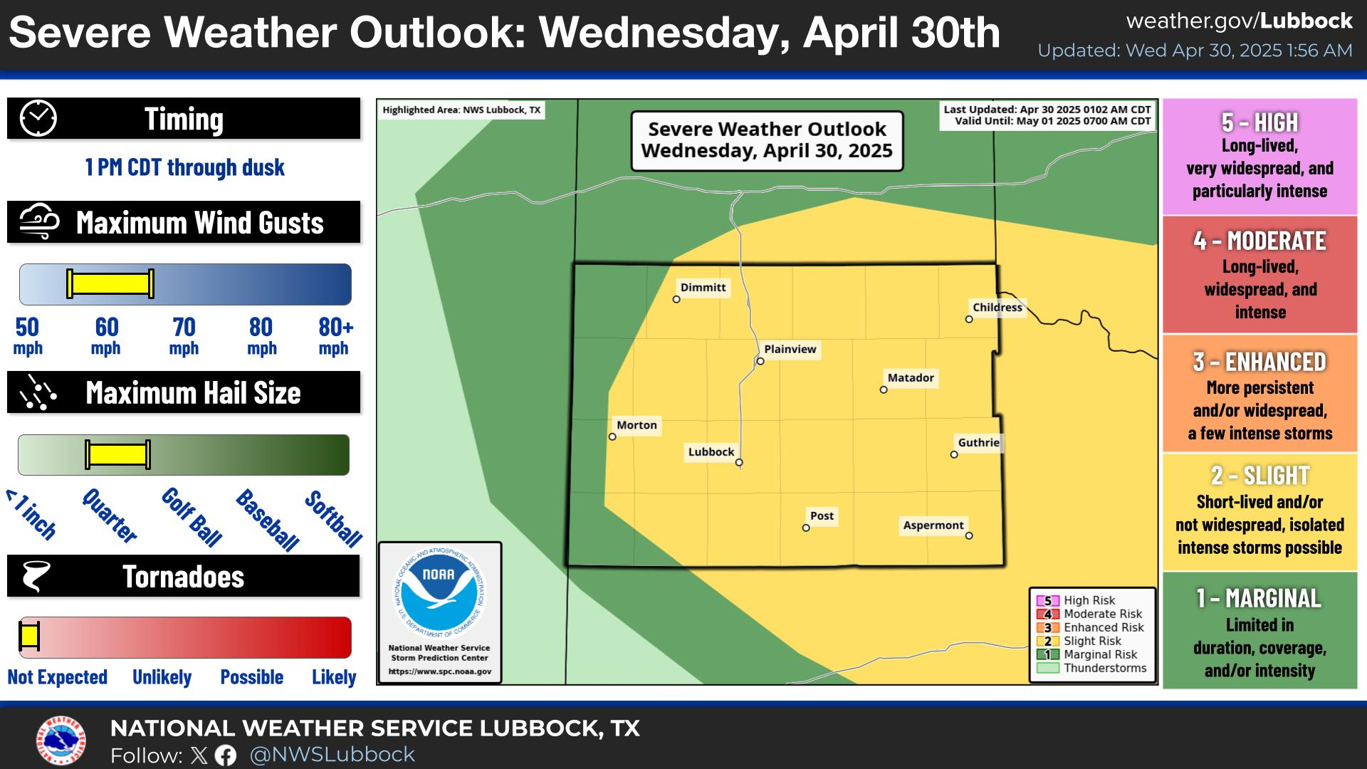
A complex of thunderstorms is expected to move into the South Plains, Rolling Plains, and far southern Texas Panhandle late tonight (mainly after midnight). Some severe storms will be possible, with wind gusts up to 60 mph and hail up to the size of quarters.
There is a slight risk of excessive rainfall late tonight through early Sunday morning, especially across the southern Texas Panhandle and Rolling Plains. Heavy rainfall and high rain rates may result in localized flash flooding overnight.
Pleasant and relatively cool weather (by August standards) is expected today. There is a slim chance of an isolated thunderstorm this afternoon, but the majority of the region will remain dry.
A complex of storms is expected to move into our area late tonight. The highest storm chances will be off the Caprock, but areas along and west of I-27 could still see a strong storm or two.
A notable warming trend will begin on Tuesday and continue through the rest of next week with highs in the low 100s expected across much of the region.


Local Weather History For August 2nd...
1995: The remnants of Tropical Storm Dean produced six to ten inches of rain in Childress and Collingsworth counties. At
the Highway 83 underpass in Childress, water reached depths of ten feet and stranded a trucker who had to be rescued by
boat. Highway 287 from Childress to southeast of Vernon had to be closed. Also, several secondary roads in Hall county
were completely washed out.