National Weather Service United States Department of Commerce
Click a location below for detailed forecast.

Last Map Update: Sat, Jul 5, 2025 at 4:16:38 am CDT
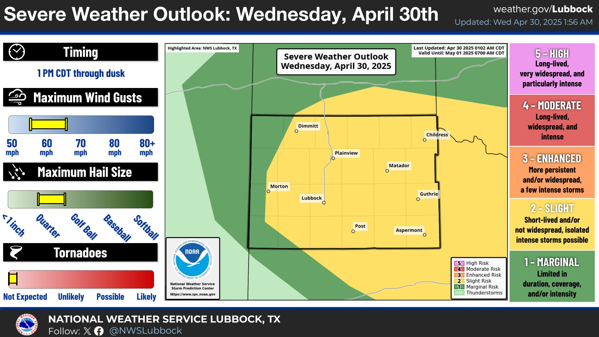
A marginal risk for severe storms will exist from late this afternoon through the evening hours. Storms will be capable of producing wind gusts up to 60 mph and hail up to quarter size.
Showers and thunderstorms may move into the area late this afternoon and evening from eastern New Mexico. Some storms could produce strong wind gusts and large hail.
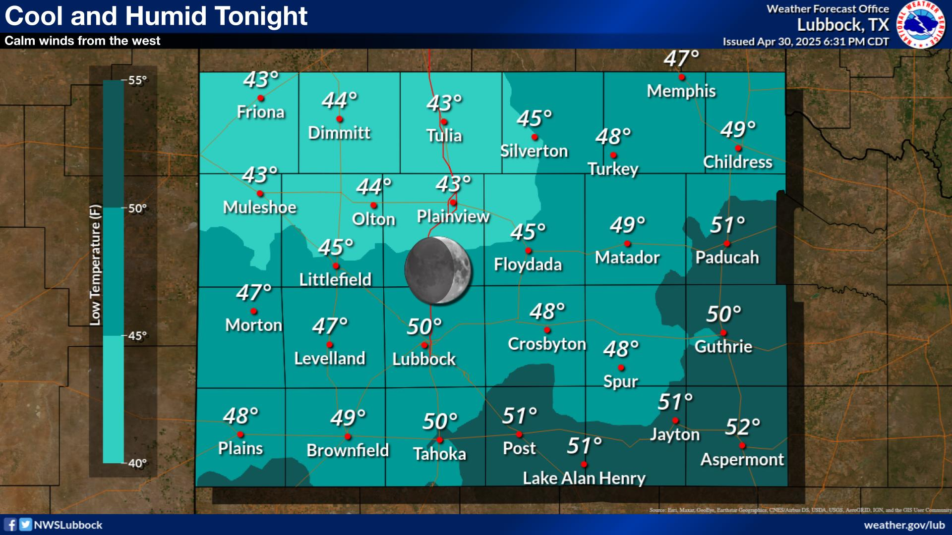
Temperatures will ease back into the 60s and lower 70s late tonight. It will remain humid with patchy fog and low clouds developing late.
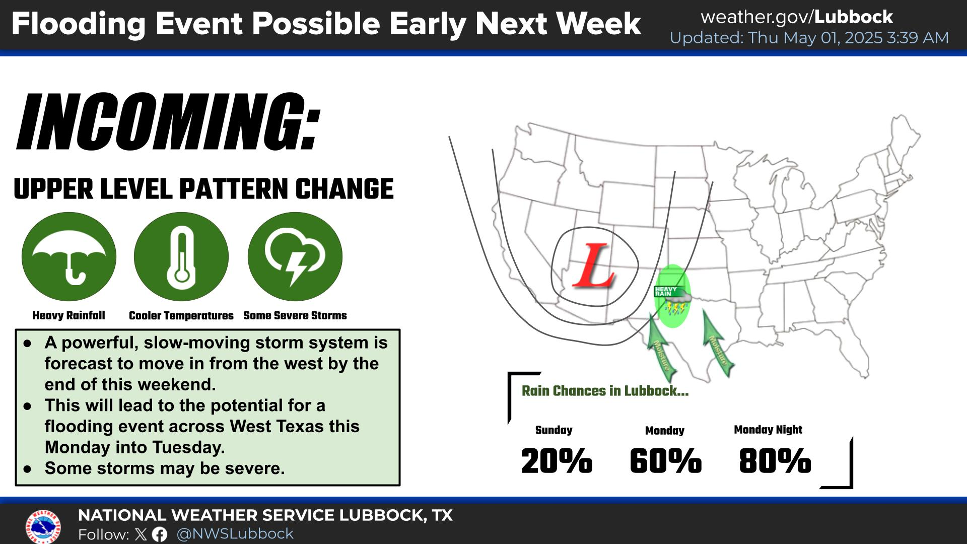
After low clouds and patchy fog in the morning, Saturday afternoon will be warm and humid. Evening thunderstorms will be possible, primarily across the southwest Texas Panhandle and northwest South Plains.
Highs will warm to the upper 80s or lower 90s this Holiday Weekend. Some isolated thunderstorms will be possible Saturday night and Sunday.


Local Weather History For July 5th...
1960 (5th-9th): Torrential rains caused significant flooding in Plainview resulting in the evacuation of 70 homes. High
water inundated railroad tracks and highways as well as numerous homes and businesses. Two hundred people were evacuated
from their homes and fed by the Red Cross in Plainview. Intense rains also occurred farther south at Slaton where 150
homes required evacuating after unofficial reports of 16.5 inches of rain fell over the course of four days.