National Weather Service United States Department of Commerce
Click a location below for detailed forecast.

Last Map Update: Fri, Jun 20, 2025 at 12:12:39 am CDT

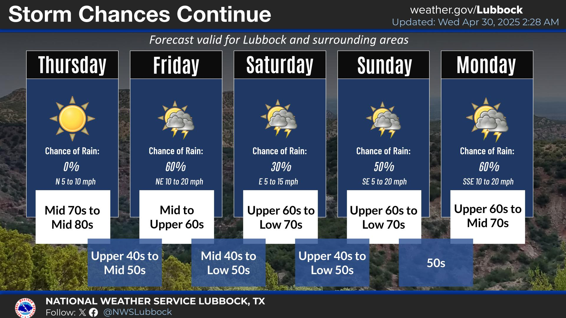
Typical West Texas summertime weather continues this weekend into next week. Rain chances remain near zero through Saturday with low storm chances returning Sunday and beyond.
Should be a clear and quiet night with moderate southerly winds.
Going to be another hot one tomorrow with temperatures in the 90s region wide with breezy southerly winds through the evening


Local Weather History For June 19th...
2013: During the morning hours, a complex of thunderstorms propagated slowly southward from the eastern Panhandle into the
Rolling Plains. Several of these storms were strong to severe, and one storm produced straight-line wind damage in
Quitaque, including removing the top of the town water tower. However, the more widespread impact was very heavy rainfall
that produced flash flooding over a large area of the southeast Panhandle into the northern Rolling Plains. Caprock
Canyons State Park recorded 4.02 inches of rainfall, which fell at torrential rates measured as high as 12 inches per hour
for a brief period! The extreme rainfall led to large amounts of runoff and widespread flooding. A road in the state park
was flooded in two locations when the South Prong of the Little Red River became swollen. In addition, numerous other
roadways were flooded across Briscoe, Hall, southwest Childress, and northern Cottle Counties. The flooding gradually
subsided by the early afternoon hours after storms exited to the southeast. This morning complex of storms produced a
large outflow boundary that surged westward onto the Caprock by midday and helped fuel the development of even more severe
weather later this afternoon. This latter round of storms developed just behind the outflow boundary and strong easterly
winds that brought widespread blowing dust. The dust became thick enough to reduce visibilities occasionally below 1/4
mile in some areas. By mid-afternoon, a lone supercell storm developed near the outblow boundary in southeast Cochran
County and later produced a 20-minute EF-2 tornado in southwest Hockley County. Although this tornado remained over mostly
undeveloped land, some oil field equipment, metal buildings, and power poles were heavily damaged or destroyed. The parent
supercell also produced very large hail slightly larger than three inches in diameter that damaged some homes and
vehicles.